Trip taken with Tony Gibson June 30-July 4, 2006 in Kings Canyon NP. 46 miles starting at 5035 ft and reaching a peak of 11,978 ft. at Glen Pass before going back down.
Day 1:
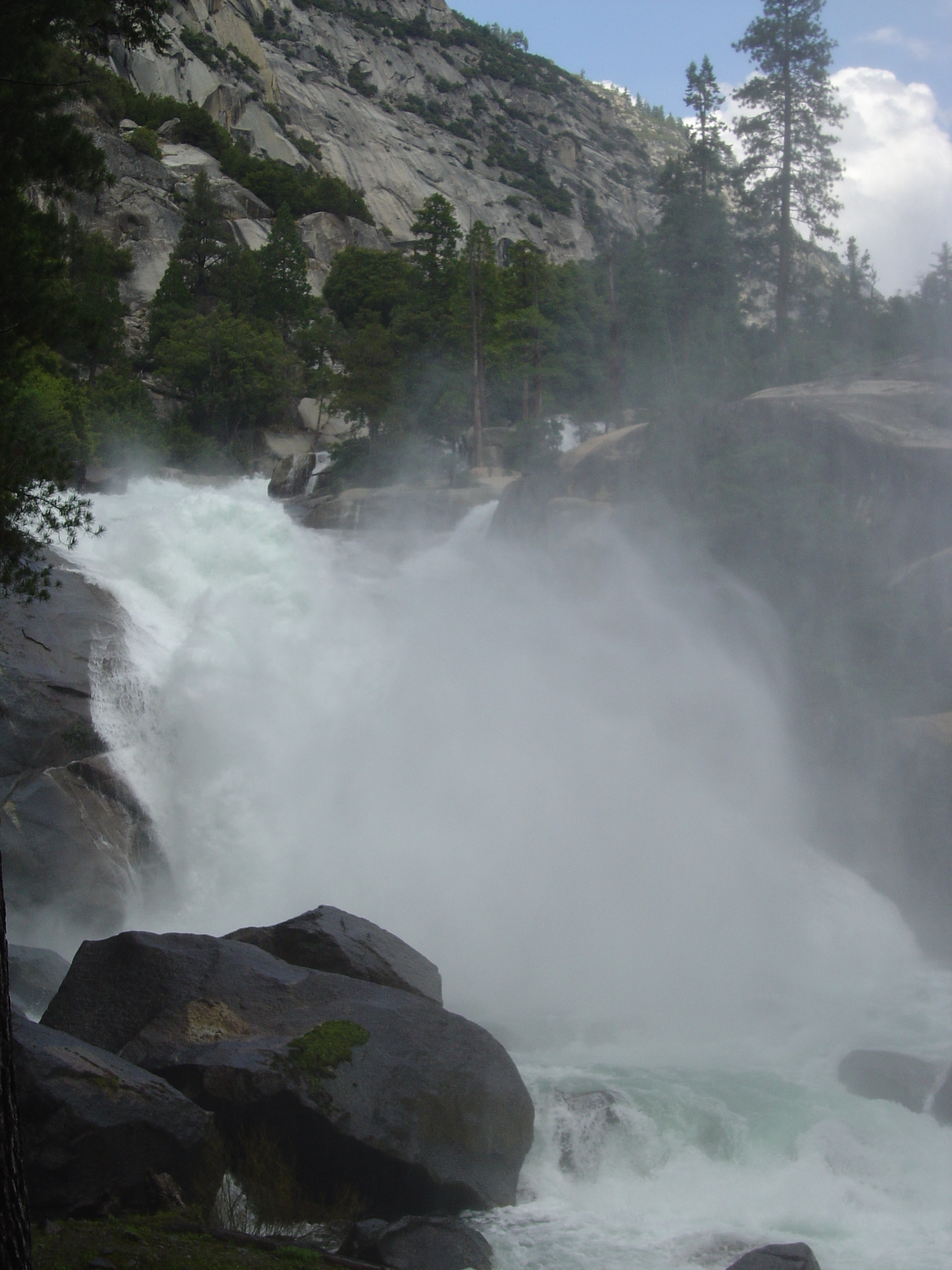
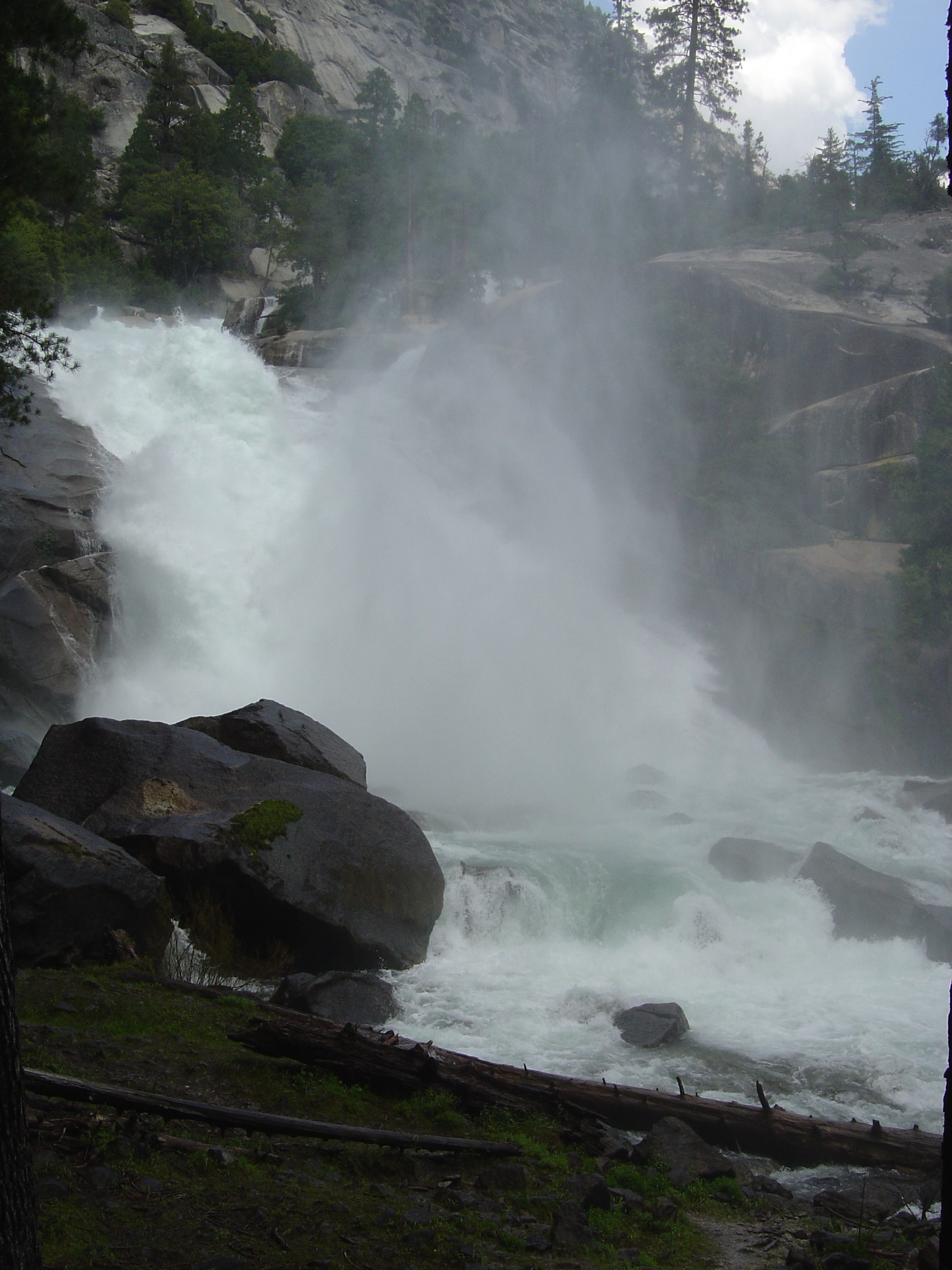
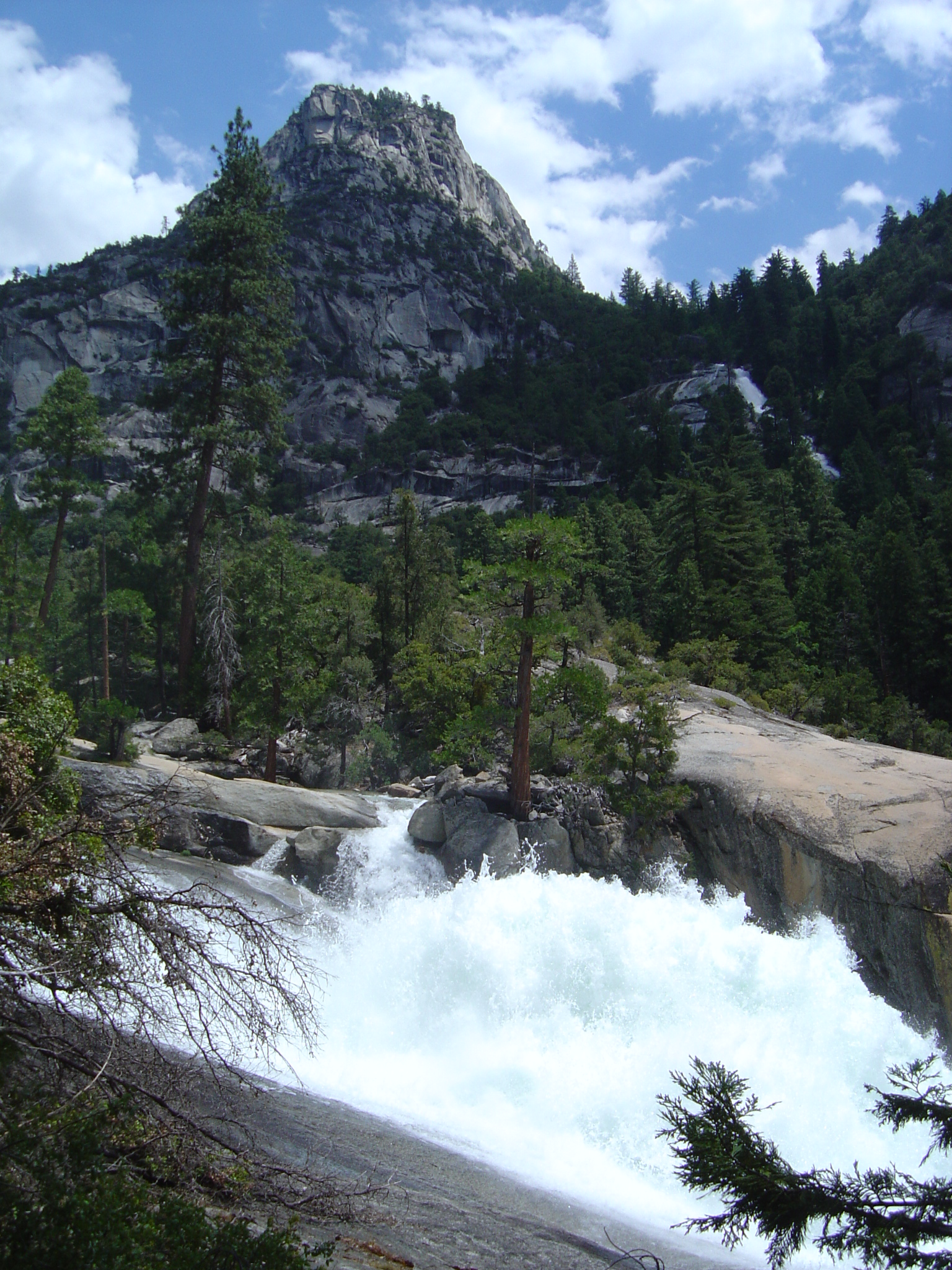
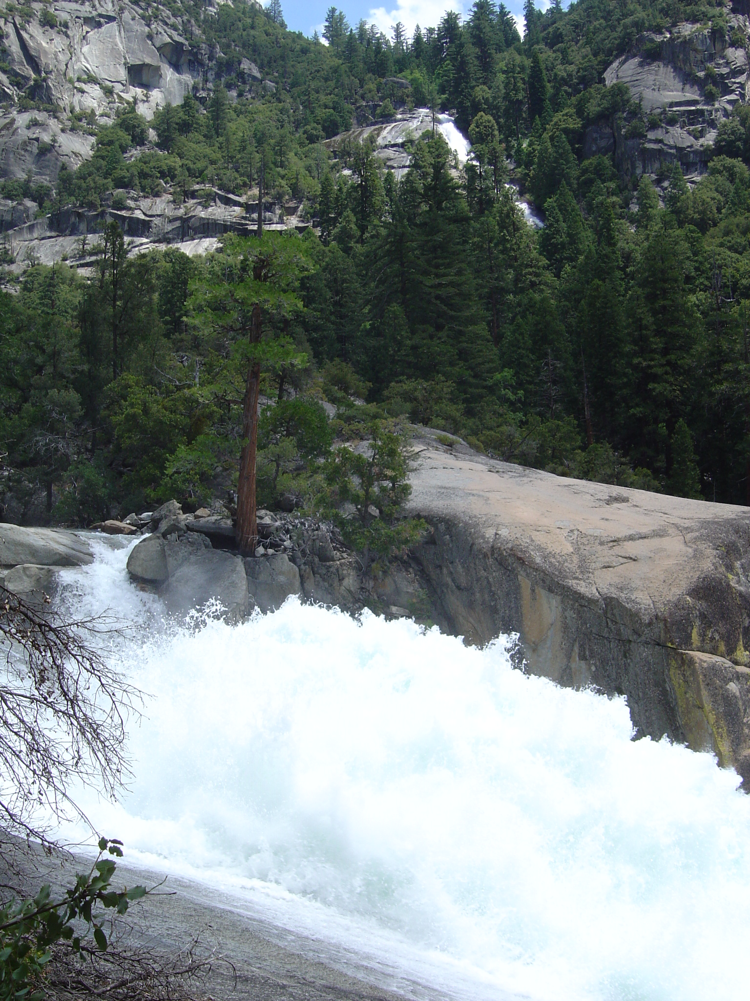
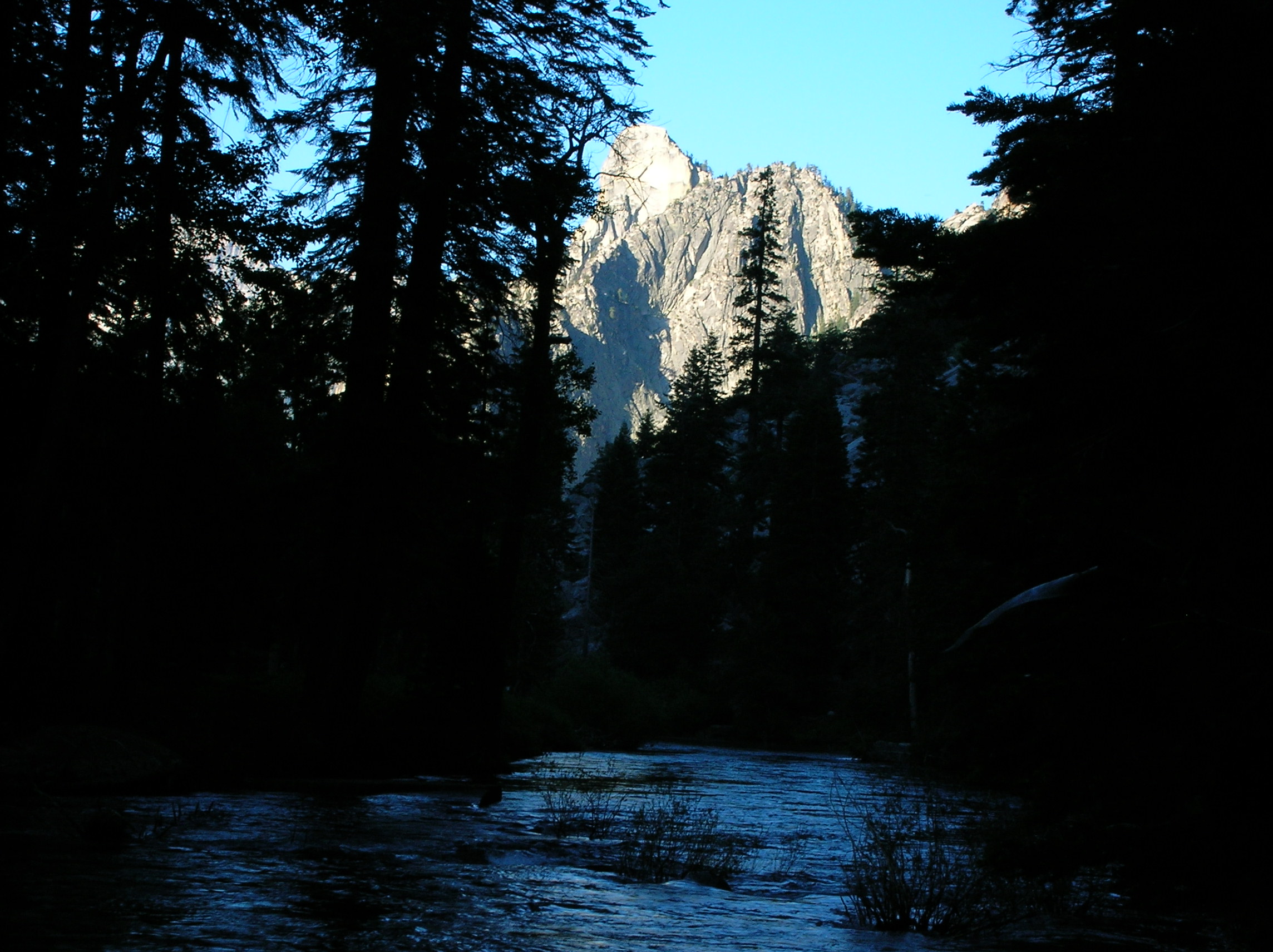
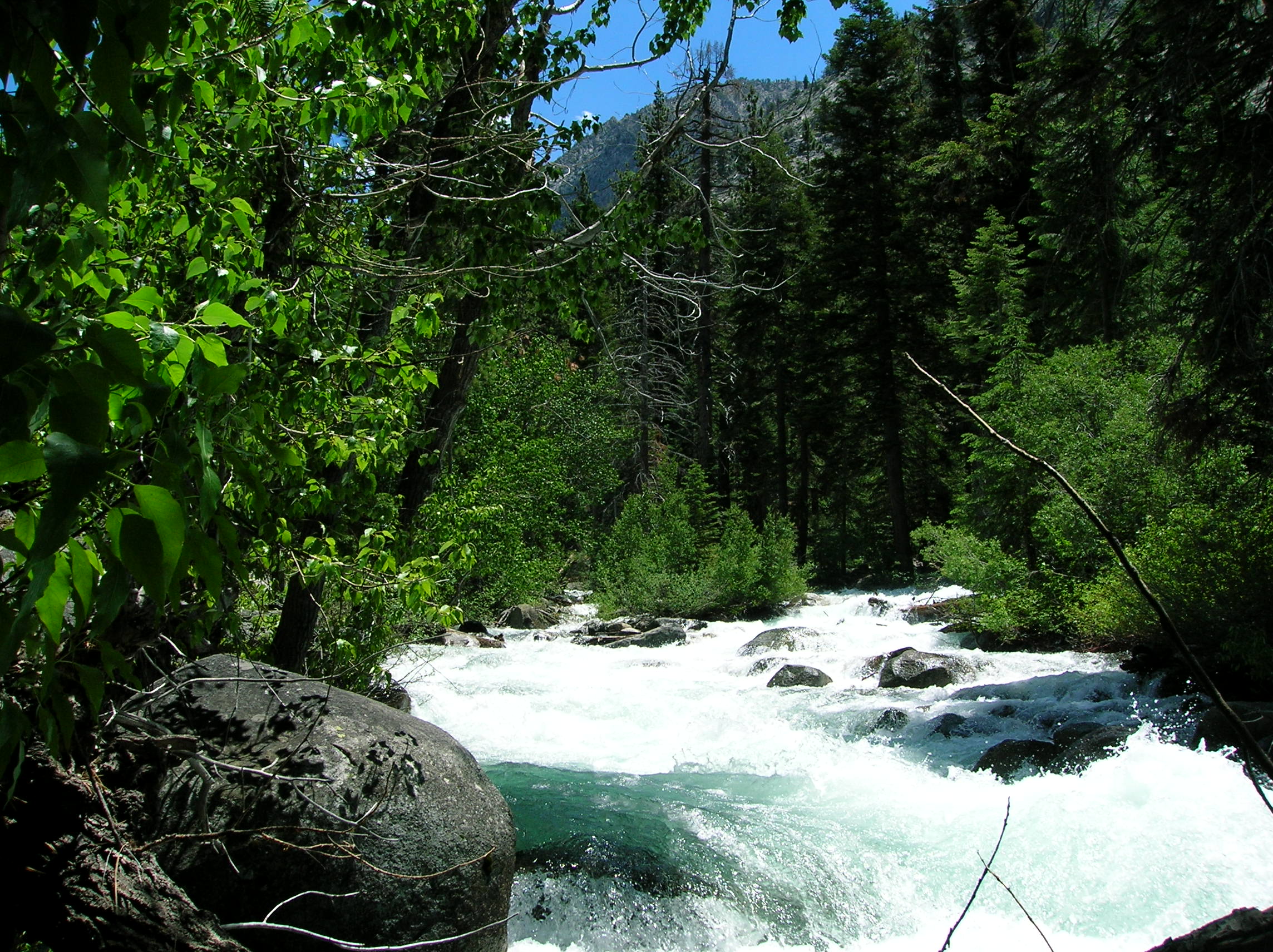
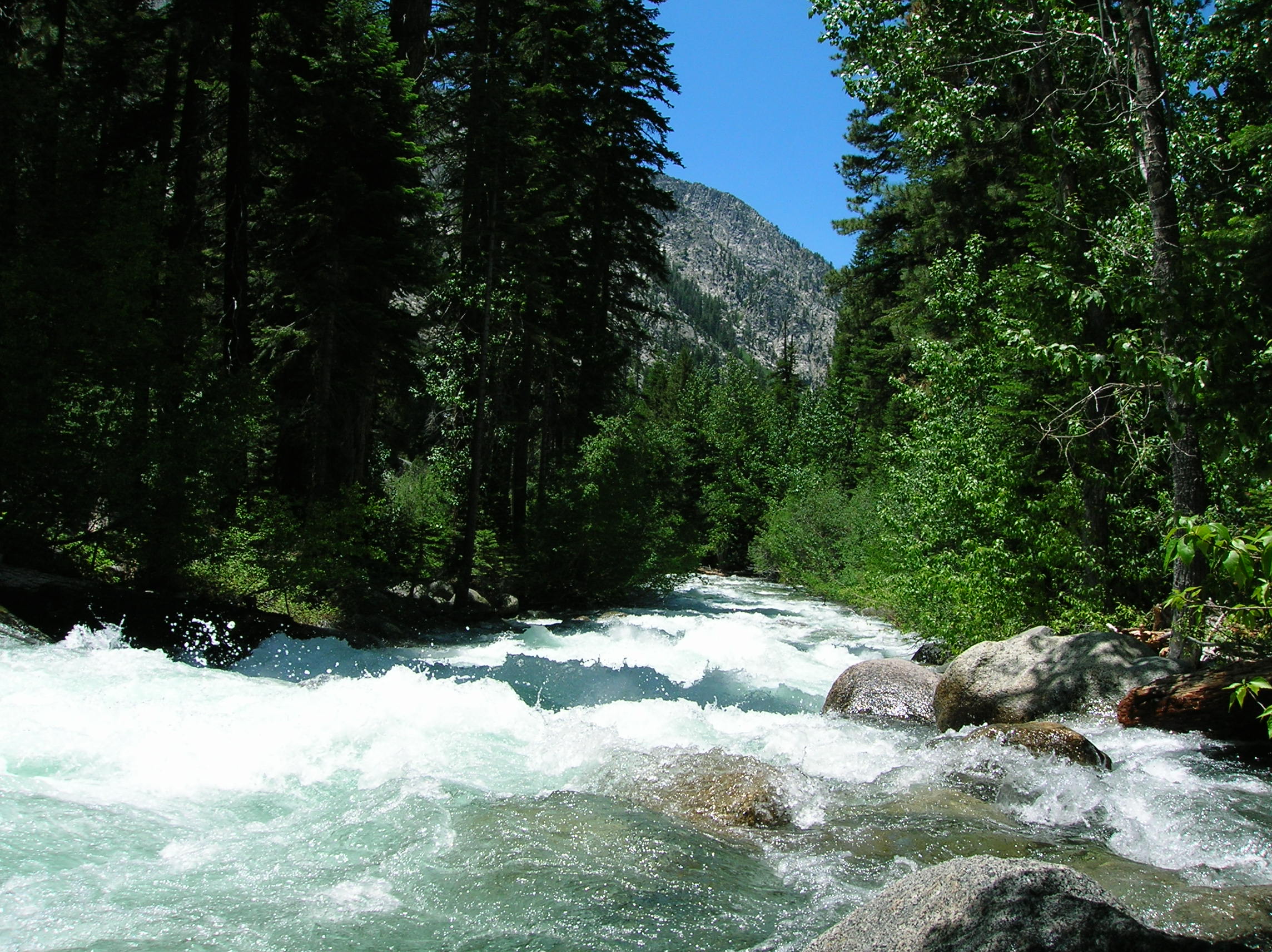
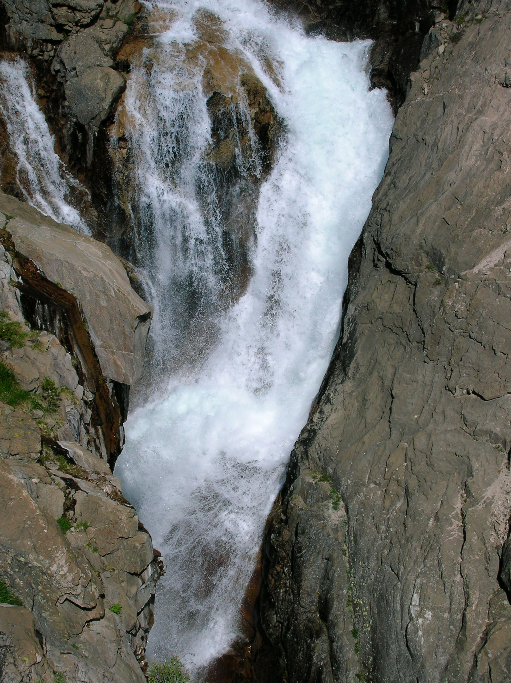
First day traveled by the Mist Falls, which I
had been to twice before. But it was especially firece
this trip and rocks I had sat on the previous time were not engulfed
in the torrent. The force and volume of the water, which usually just went around
the rocks, resulted in an impressive bubbling effect.
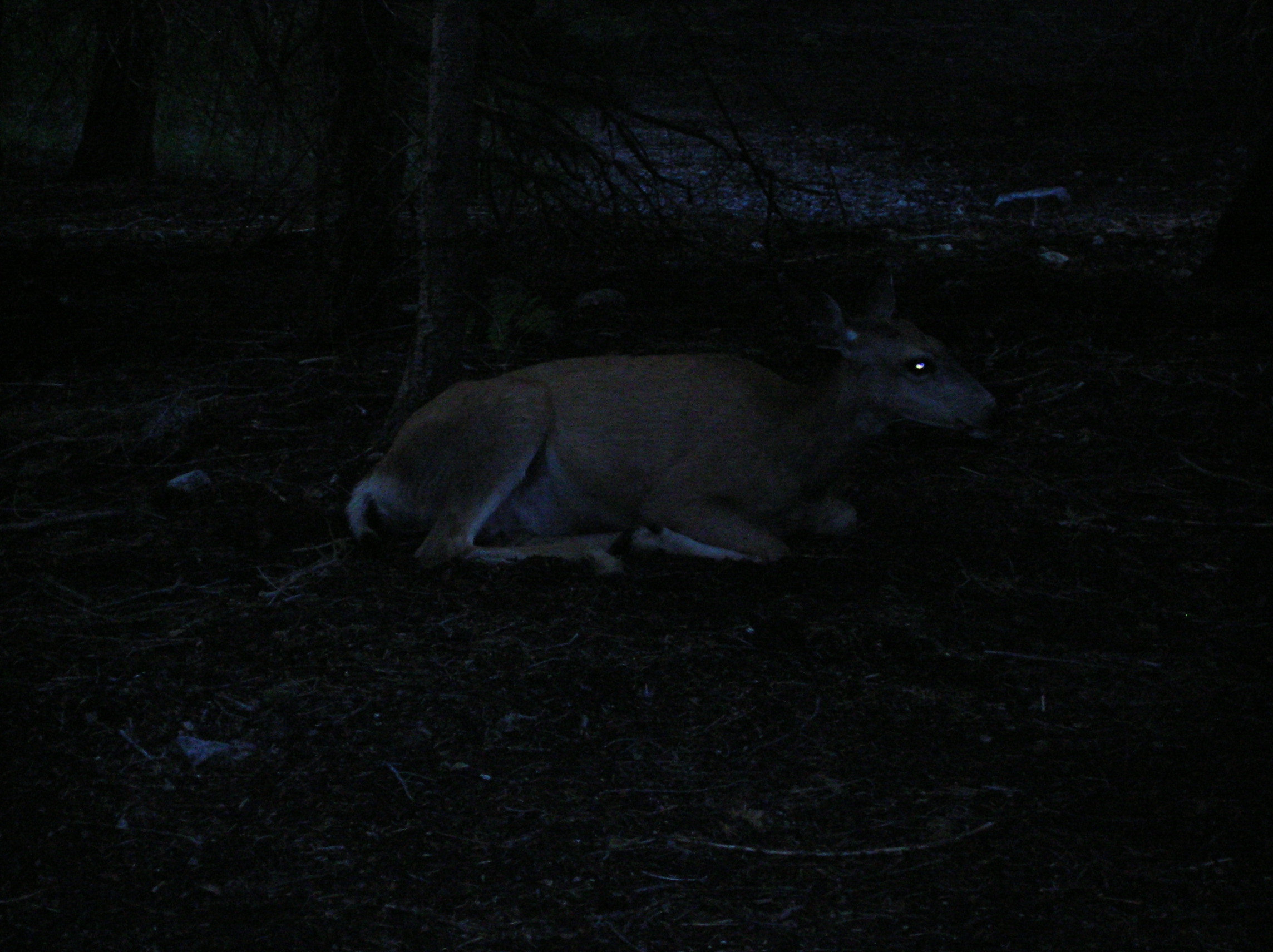
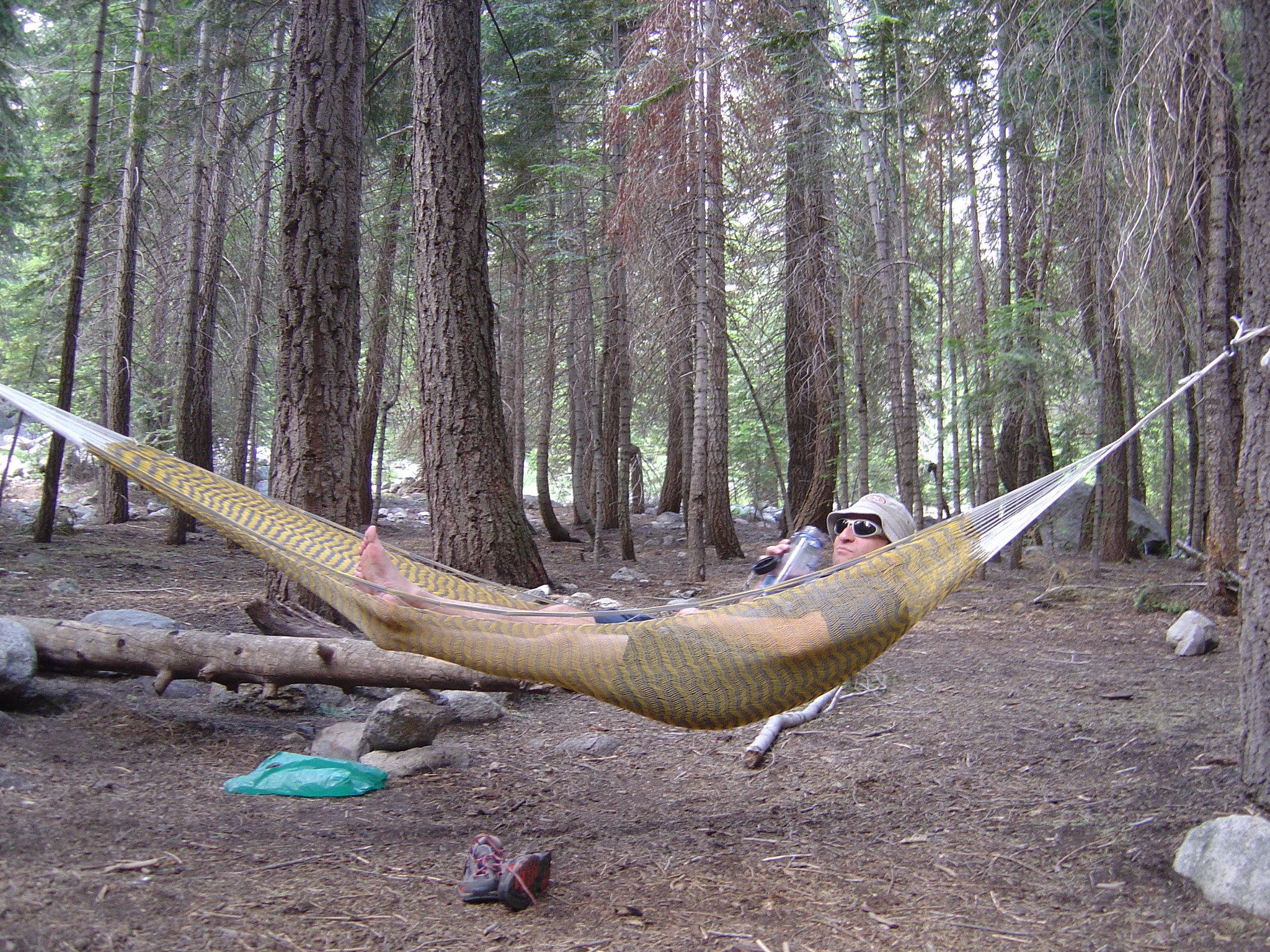
First night, all these deer came around out camp, definately not afraid of us. Big guy sitting right near us like a cat. The day is a success as I have the perfect hammock setup, shoes off, sipping some Finlandia vodka purchased at the duty-free shop on the border of Canada and Montana during the NW Trek.
Day 2:
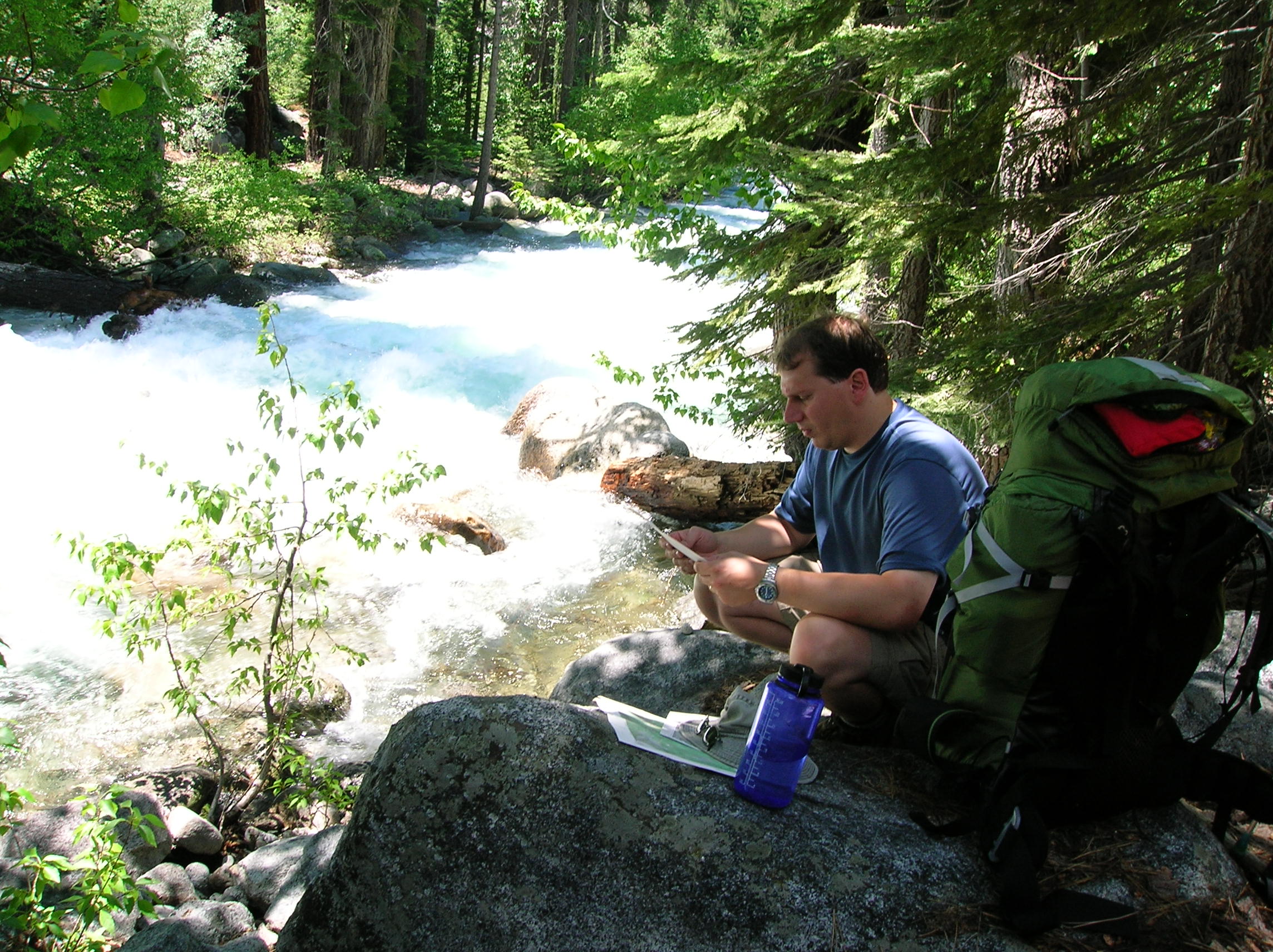
Morning 2 at the first camp. River by where we
had lunch during the hike of day 2. Tony
attempts to figure out where we're going. A look downstream
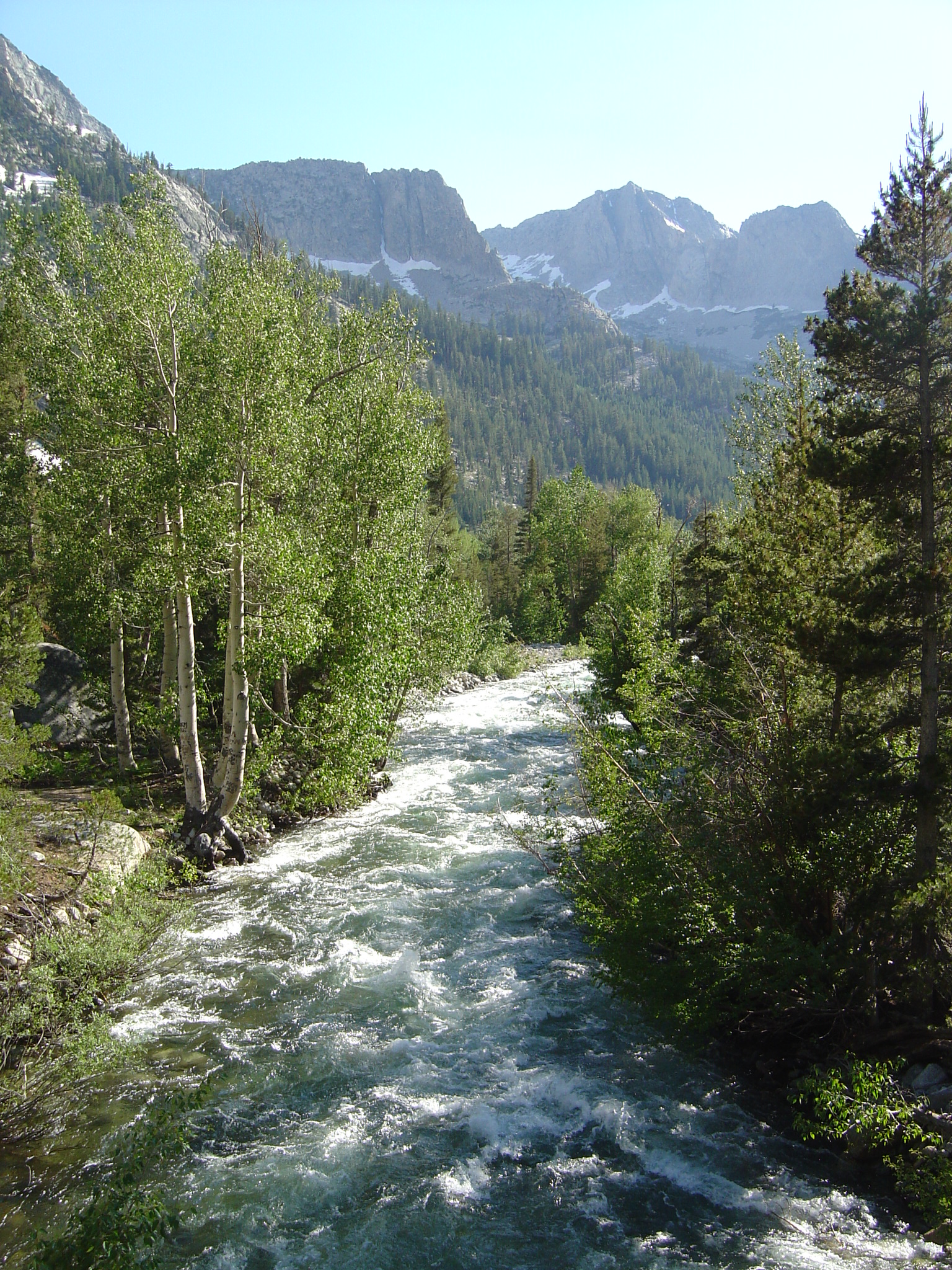
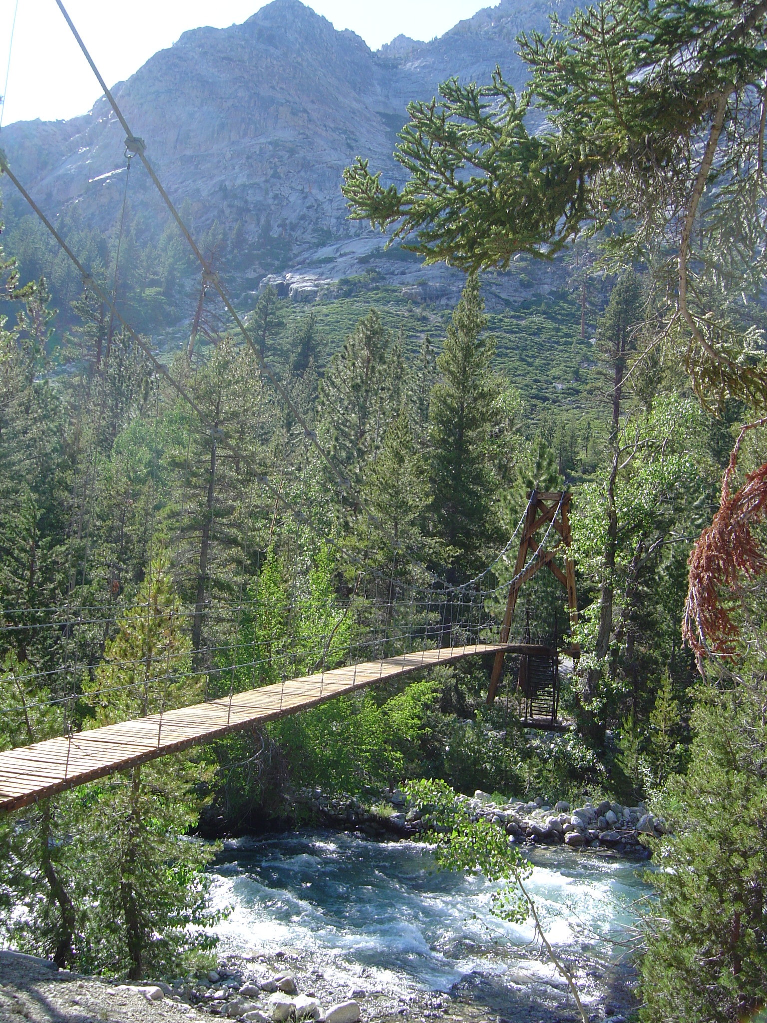
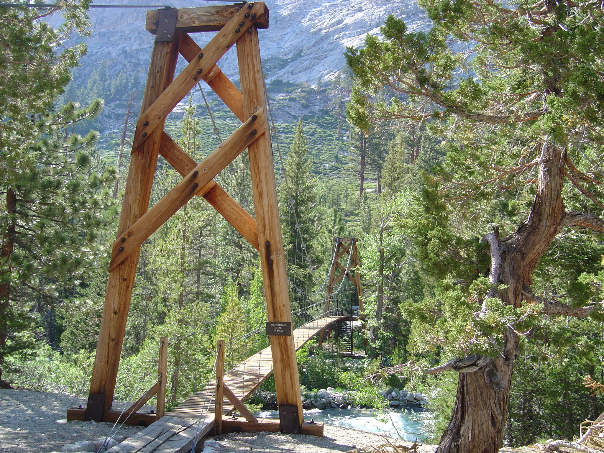
on same river. Woods Creek, which we camped by
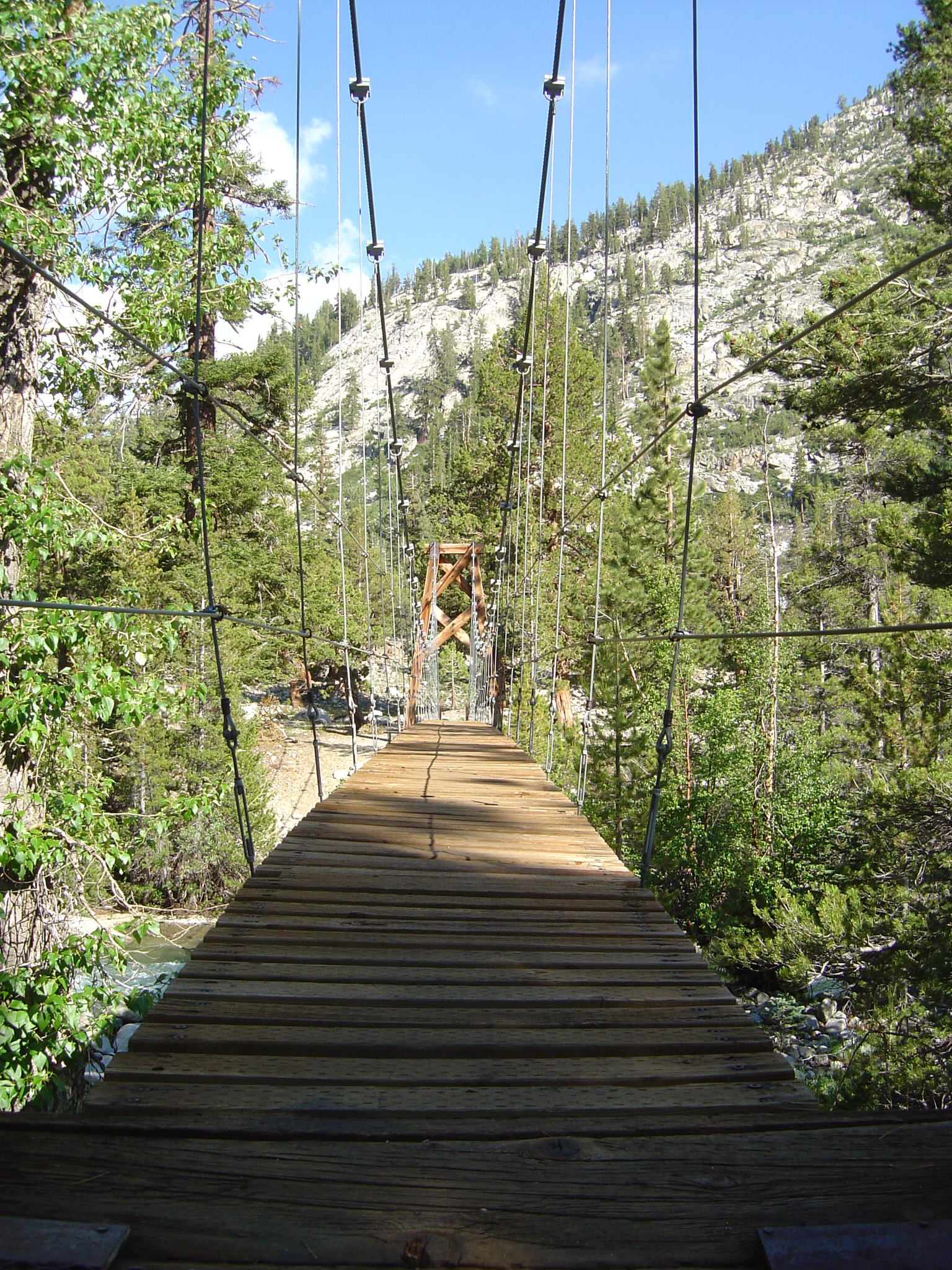
the second night. This day was a fairly short hike, but still a good amount of
up. They had built this impressive bridge
to cross this wide rushing creek, I'm sure after numerous previous wash-outs made
the parks service decide they weren't messing around anymore. Nice shot of the
bridge with mountain in the background.
Our camp was right near the bridge.
Nice trestles.
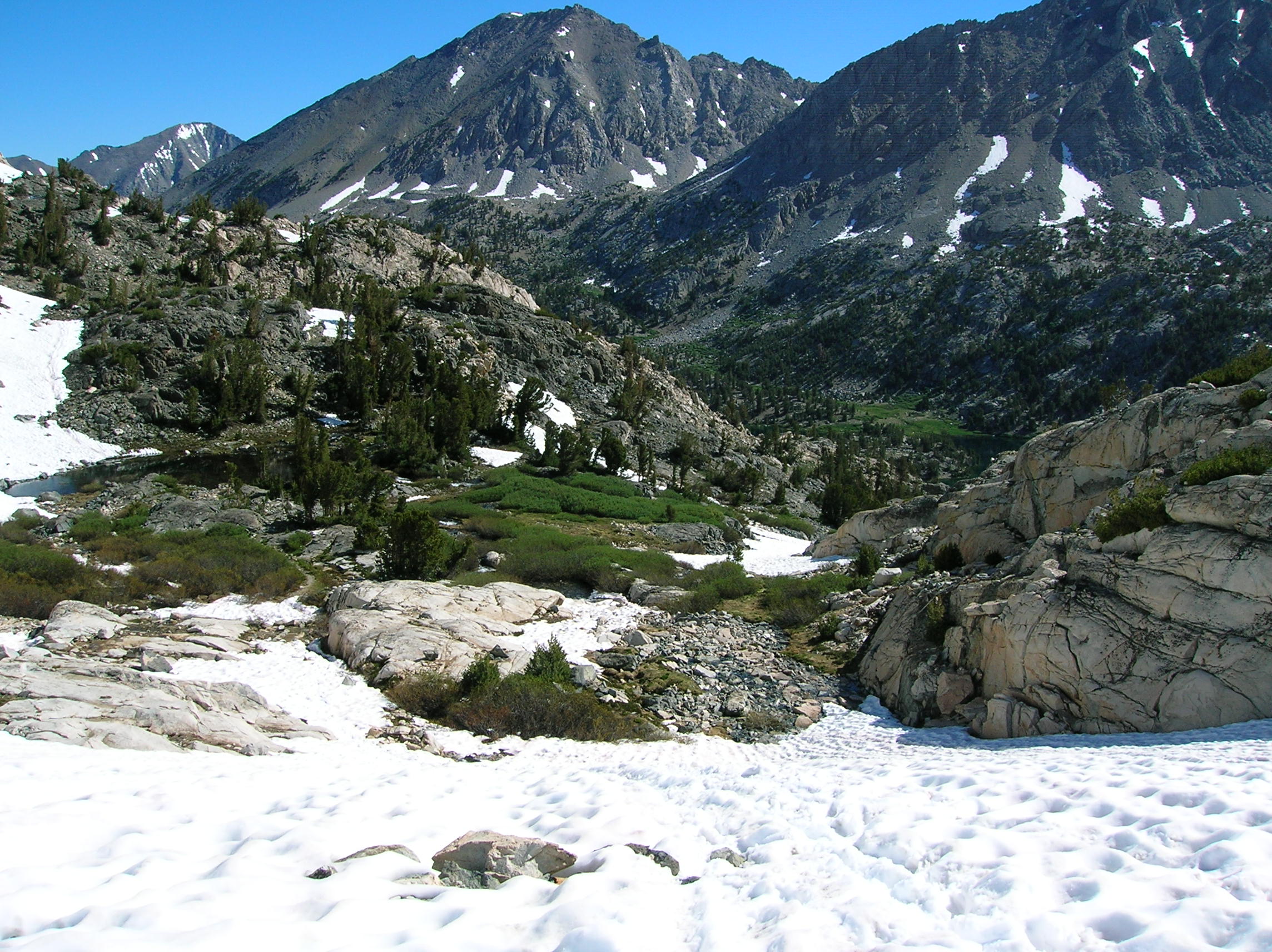
Day 3:
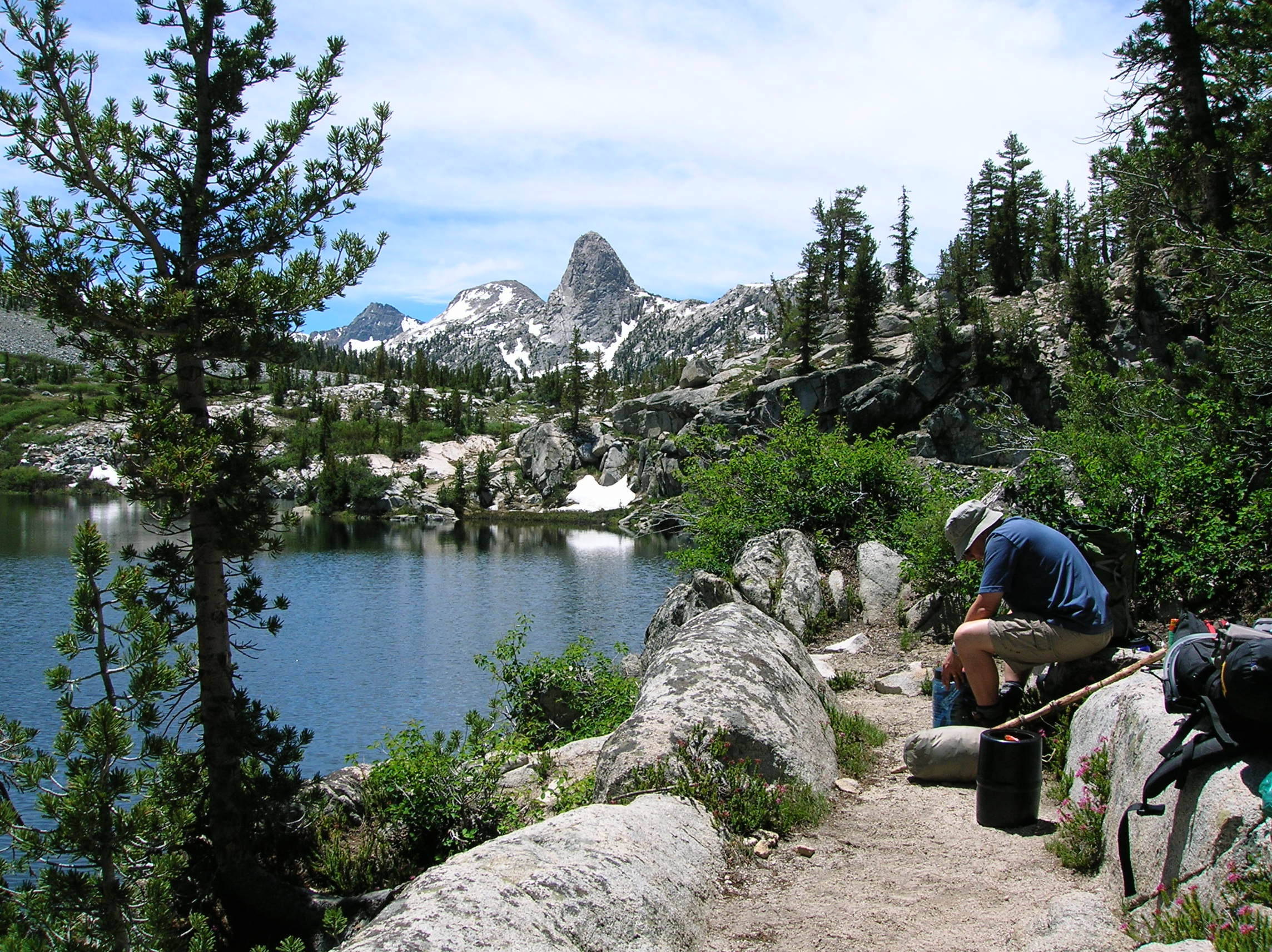
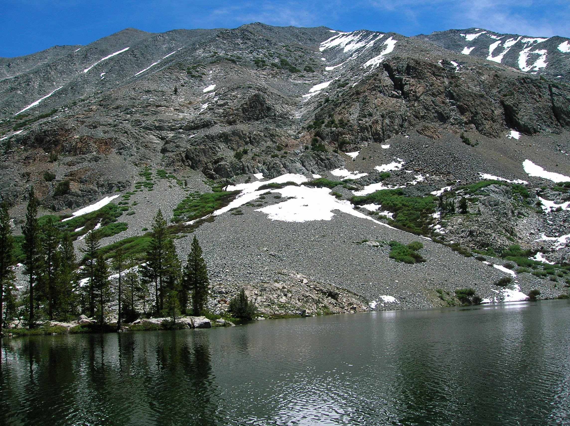
Stopped for lunch by Dollar
Lake which was nice, but overrun with mosquitos that didn't care about our
repellant. At this lake, one could scramble via
an unmarked trail up Mt. Baxter if one was insane.
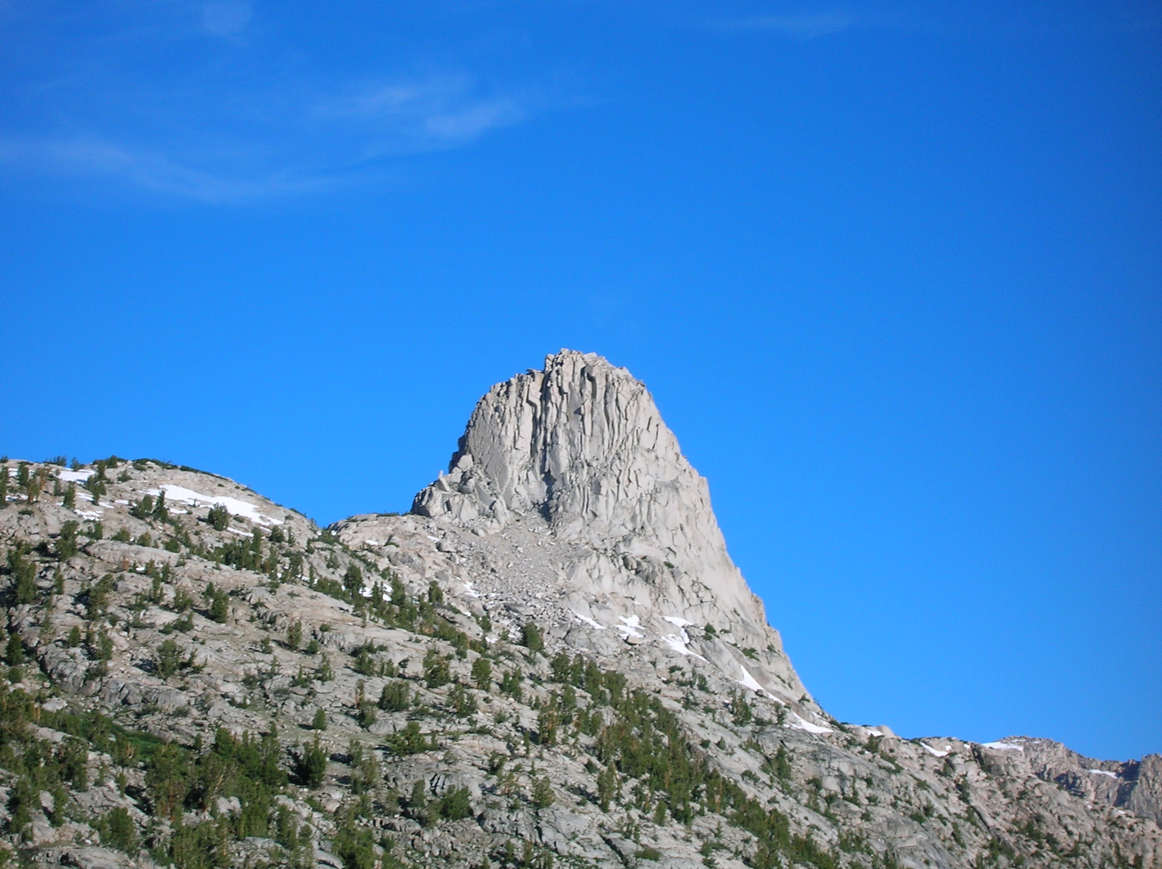
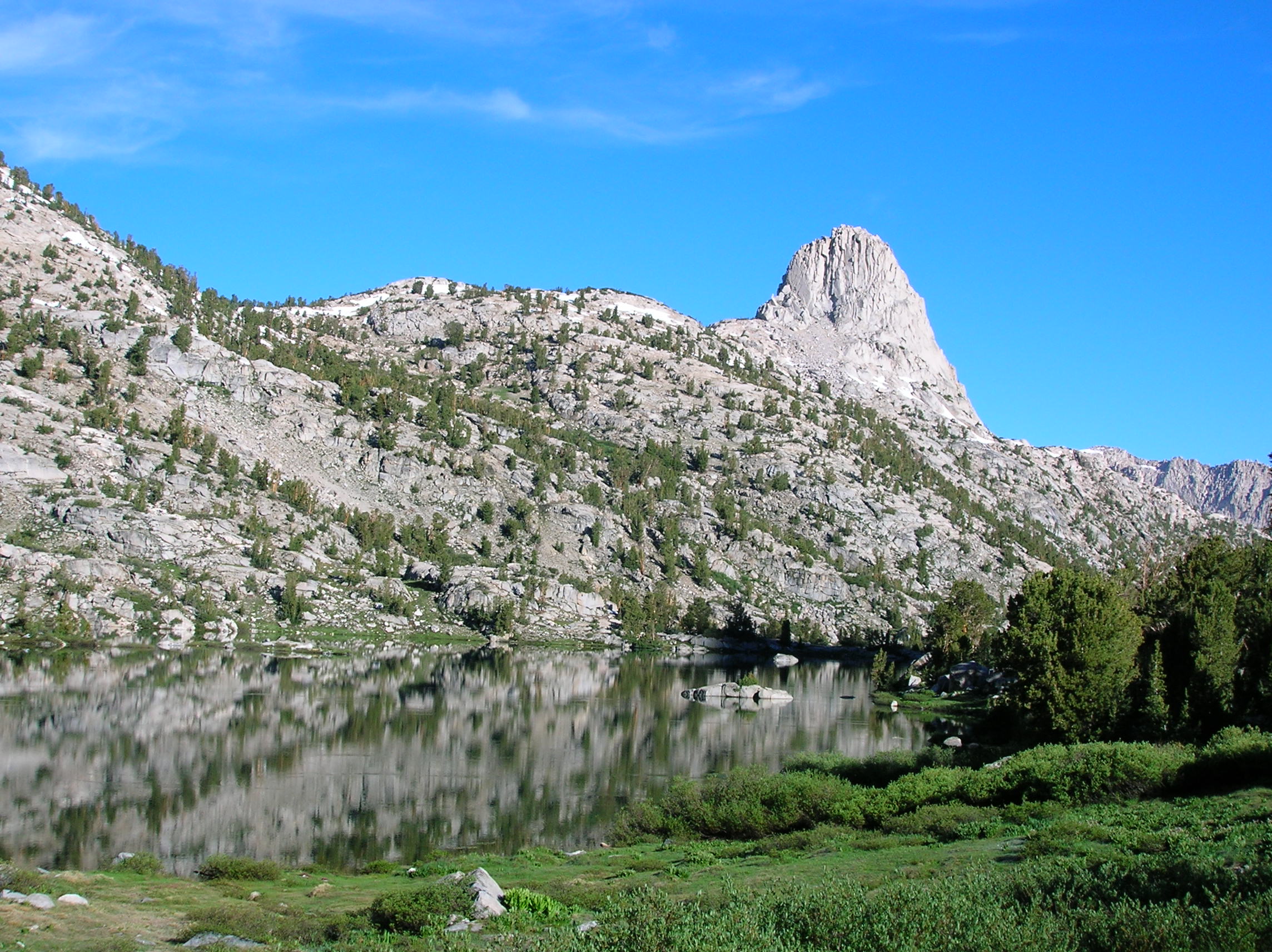
Nice picturesque spot which I would have like
to have hung around longer if the bugs hadn't been bugging us. There was one
small water crossing after which was this cool
water fall gushing through the
cracks in the rocks. Nice flowers on the
trail. Nice mountain on the trail.
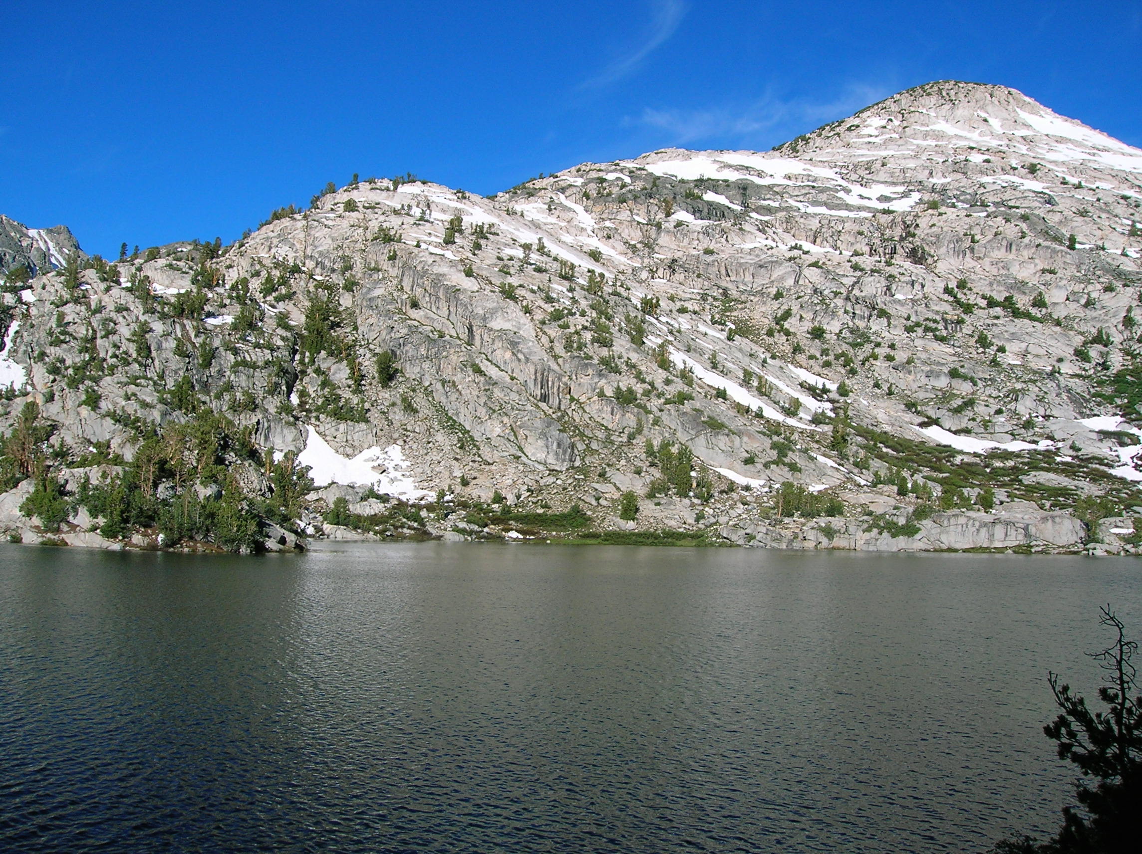
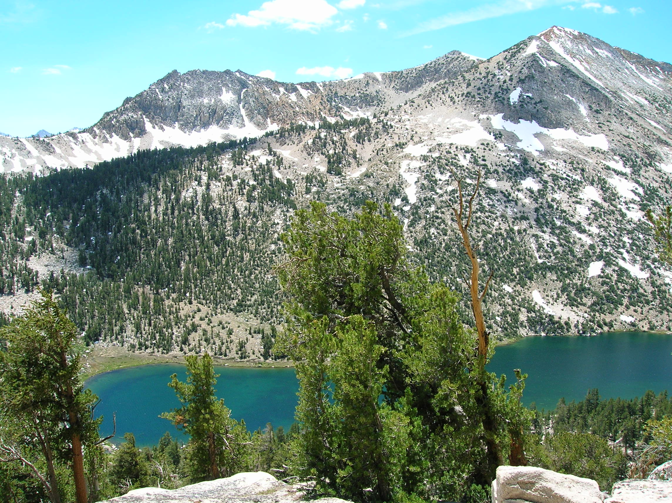
Third camp at the first Rae Lake had some major mosquitos issues which offset the otherwise nice setting, but we made due by moving around and killing the bastards one-by-one. I smashed them up in my Businessweek I had brought. Nice dome after the sun went down. Another view.
Day 4:
We woke up early the next day to get a good start
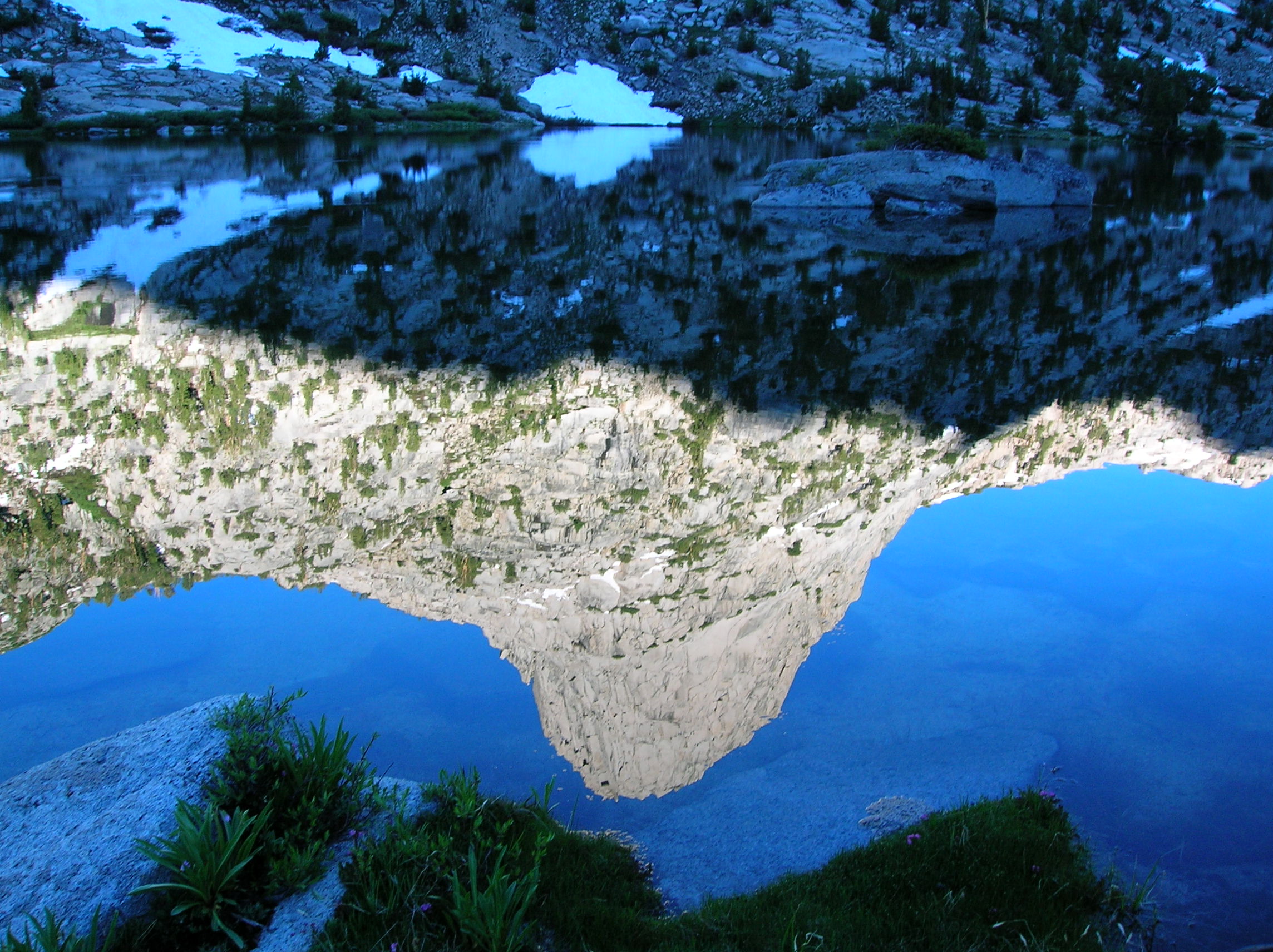
on the toughest day of the trip. Nice morning dome
action, and some reflection of it in the lake.
Another nice lake reflect shot in the other direction.
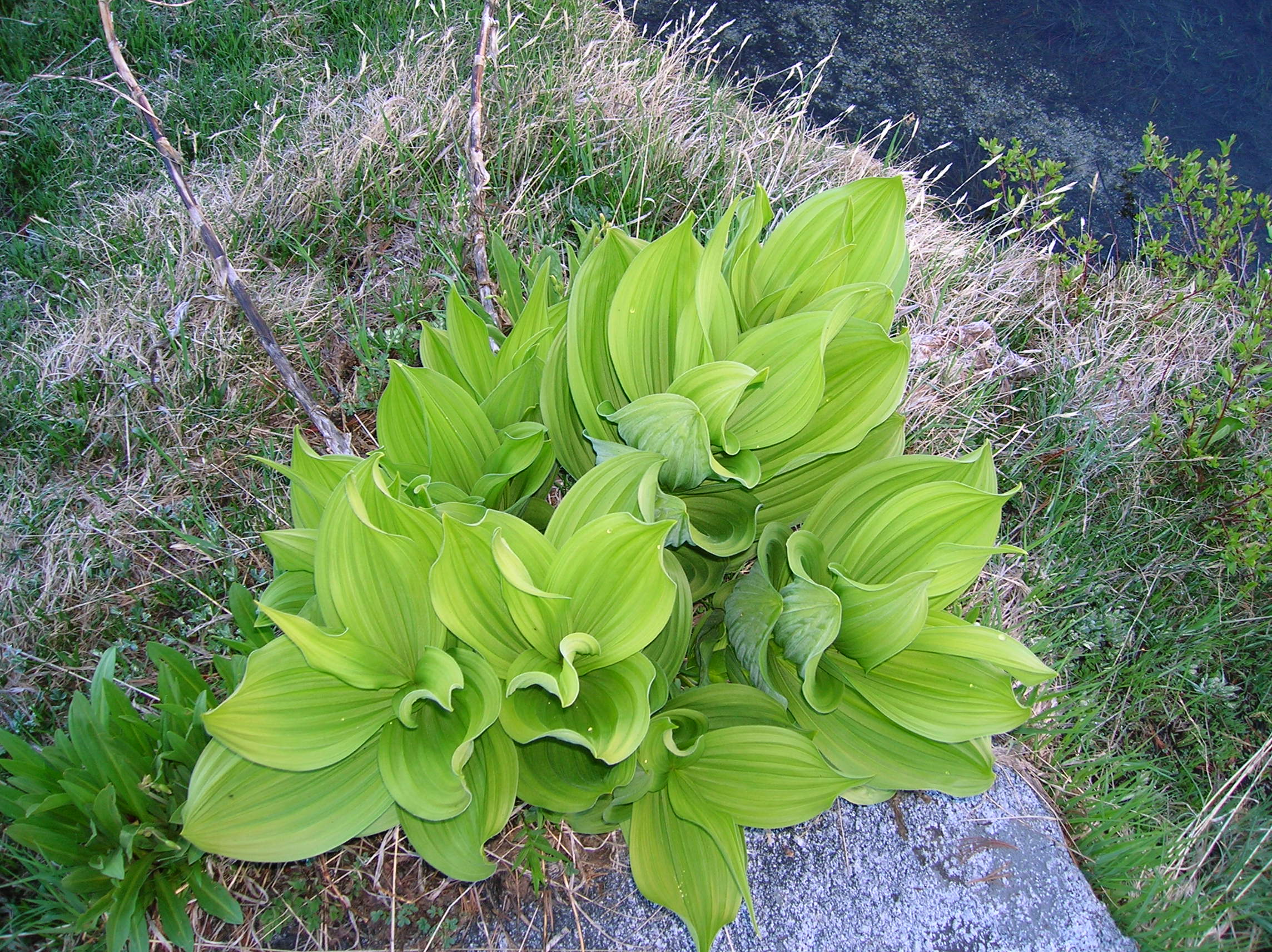
I had lost my toilet paper somewhere, but this plant
seemed to offer a substitute. Unfortunately, I found out it was no Charmin.
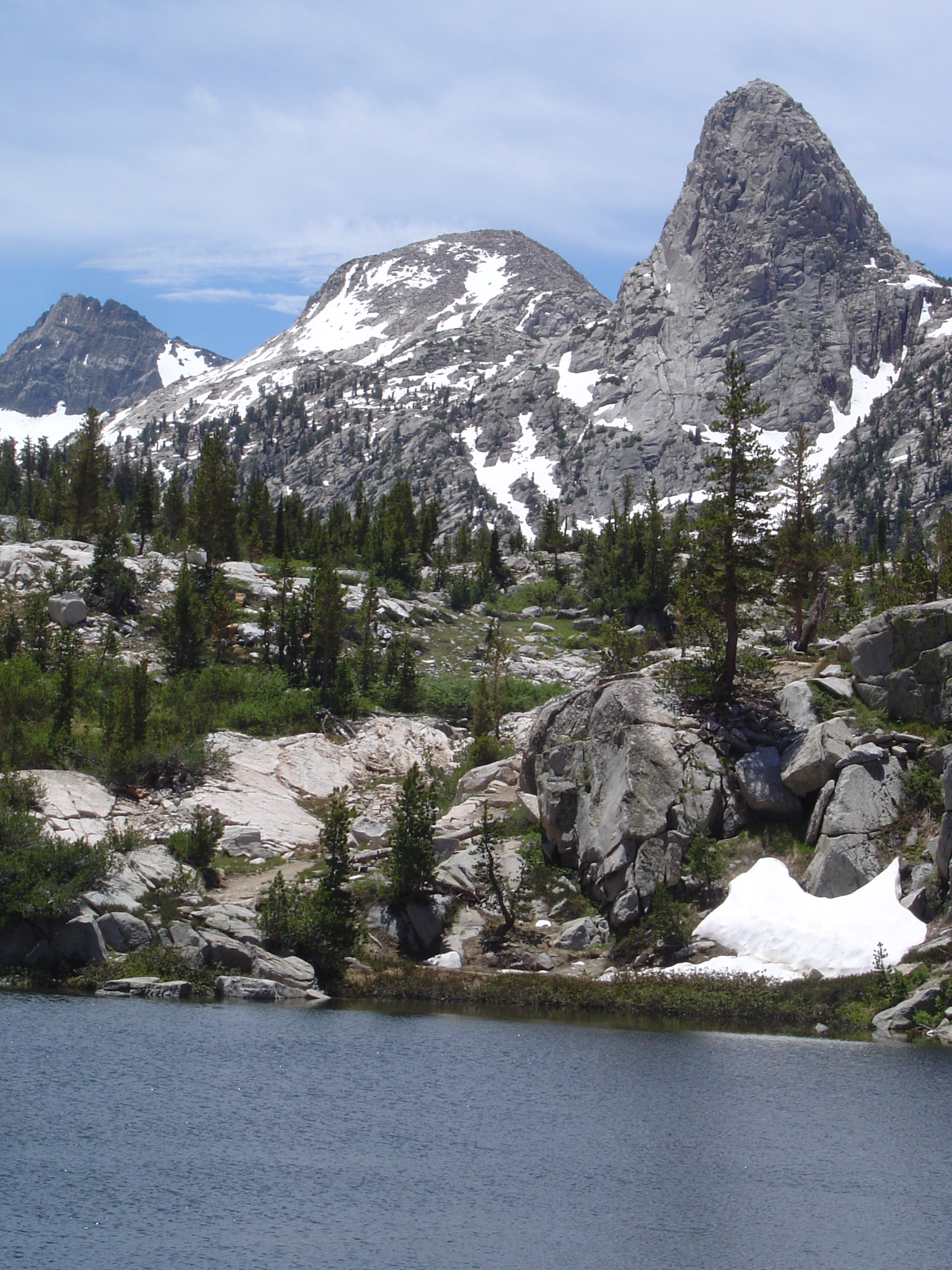
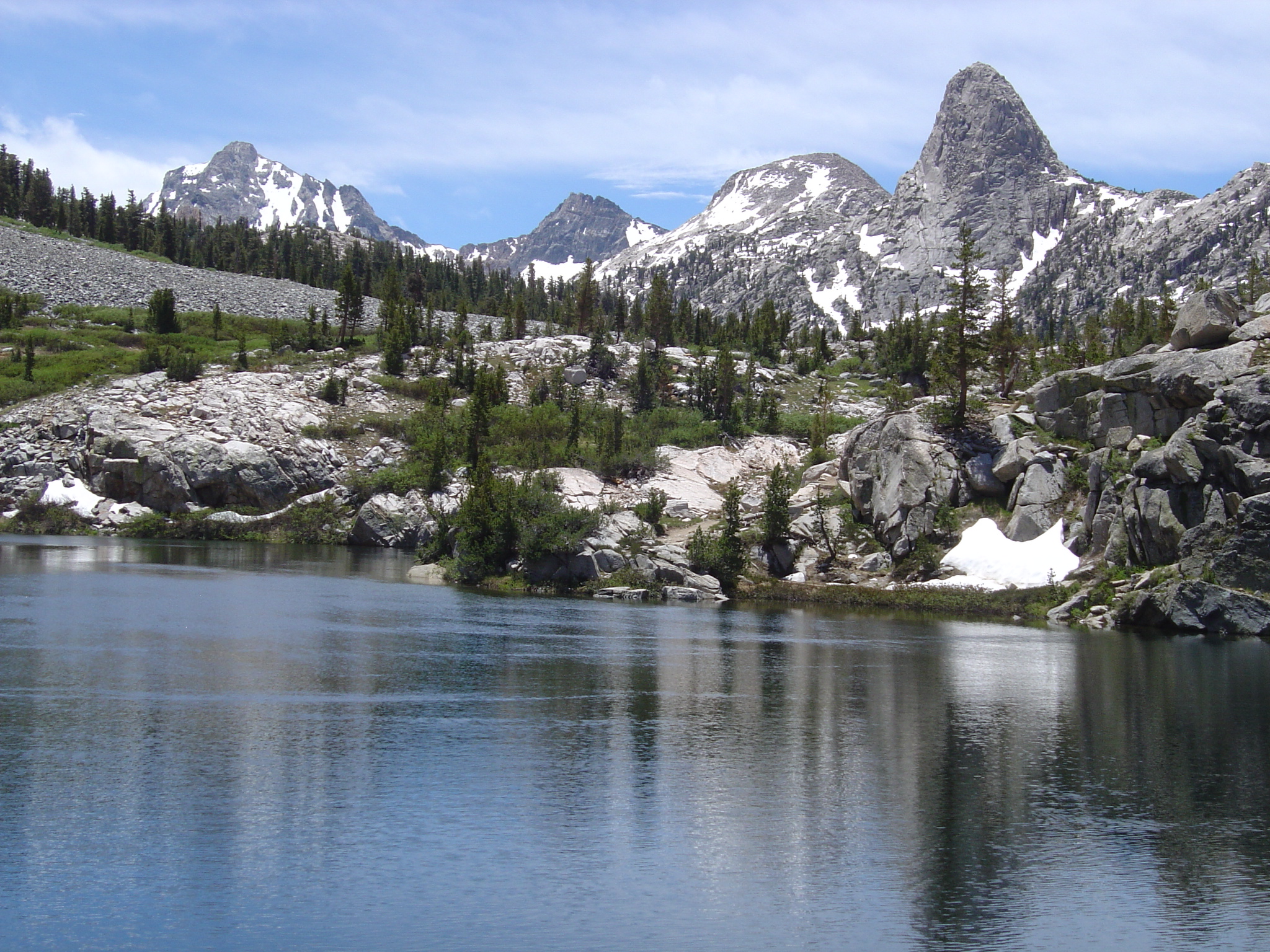
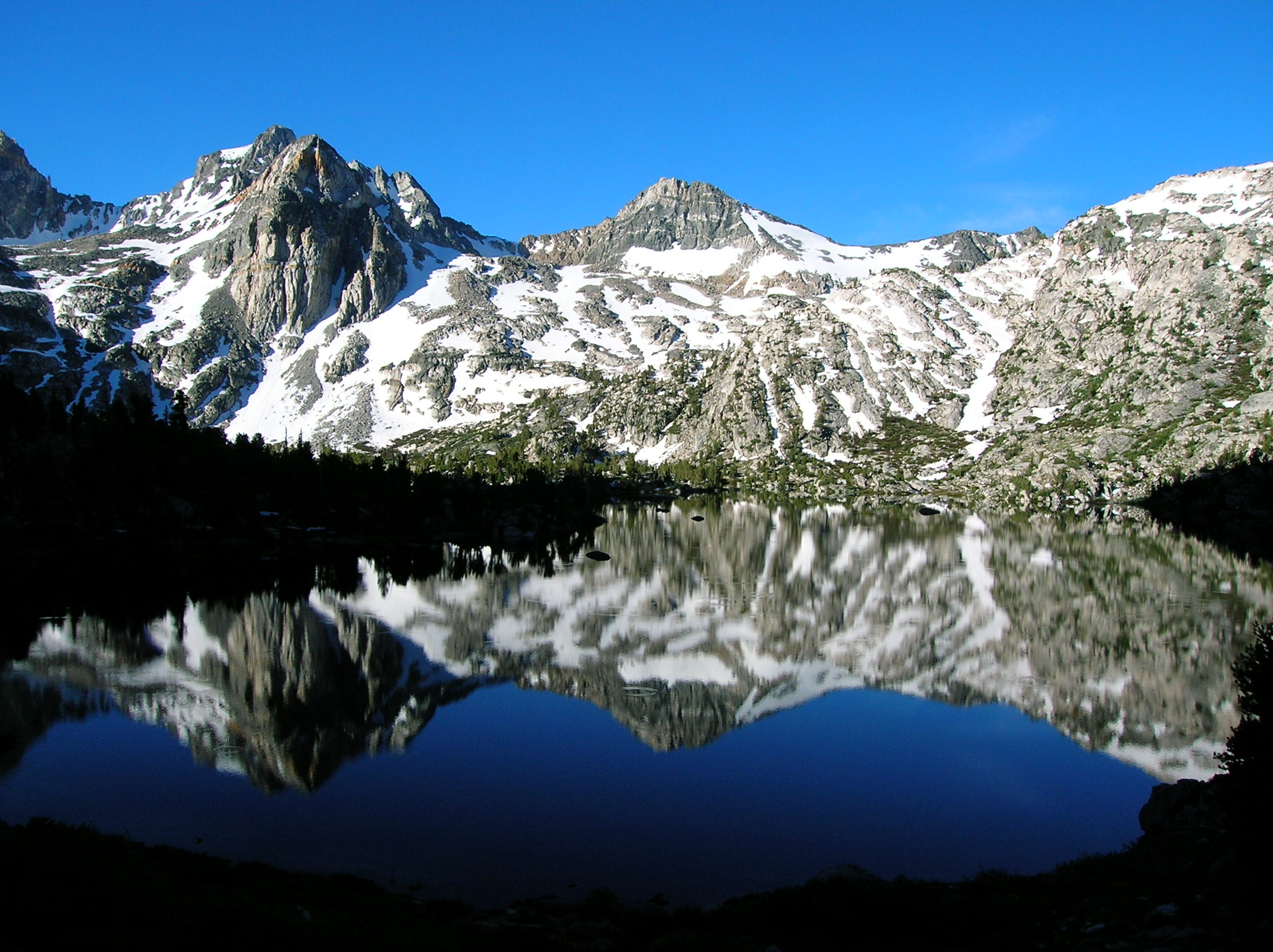
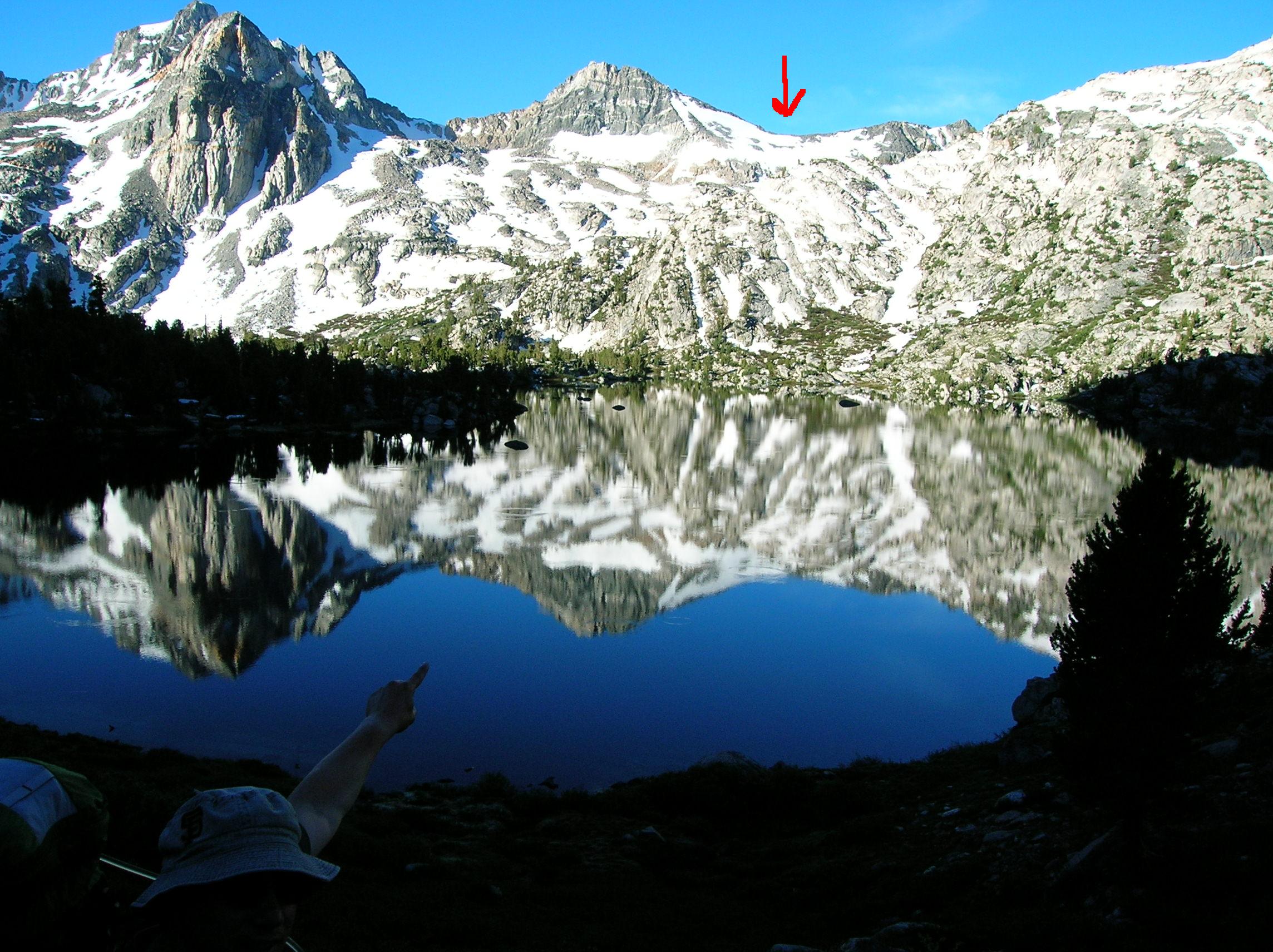
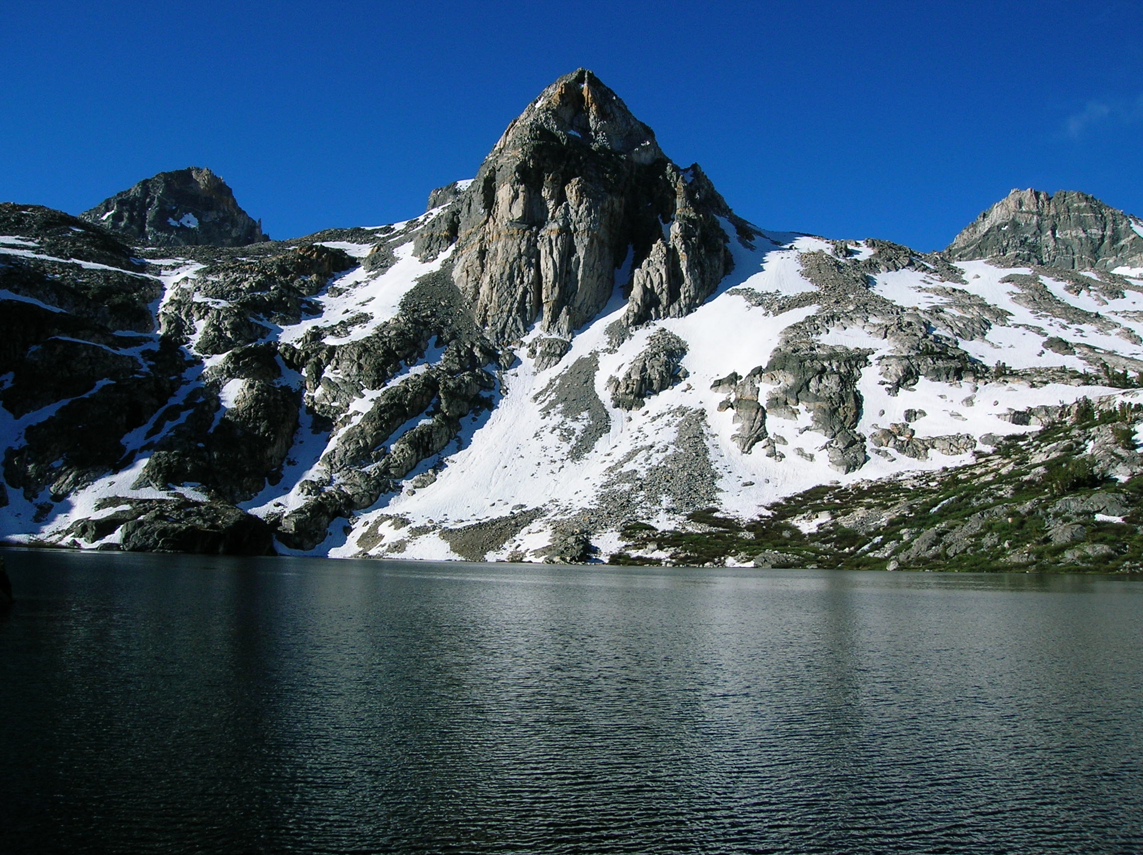
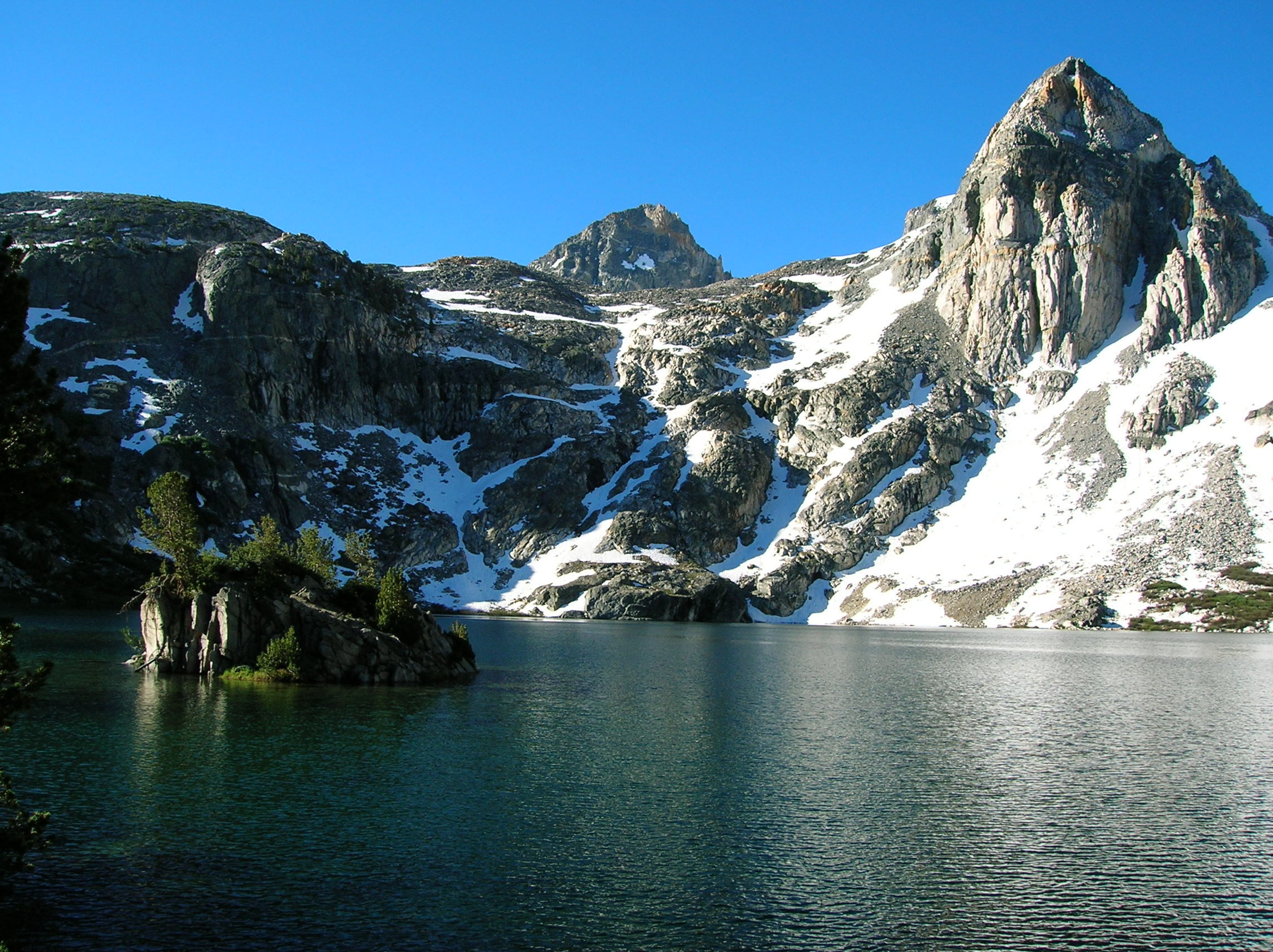
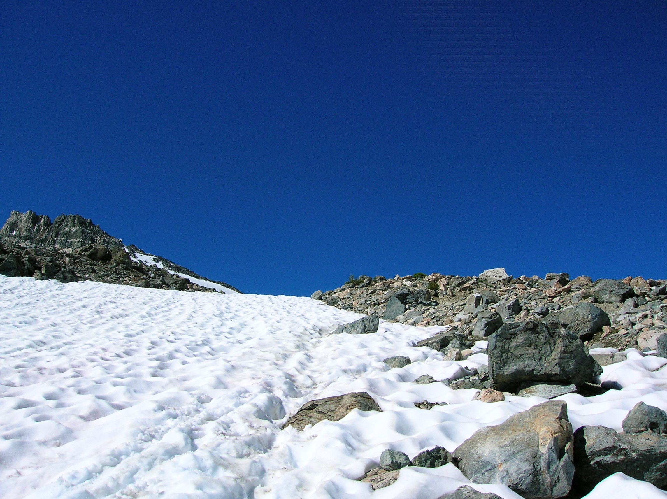
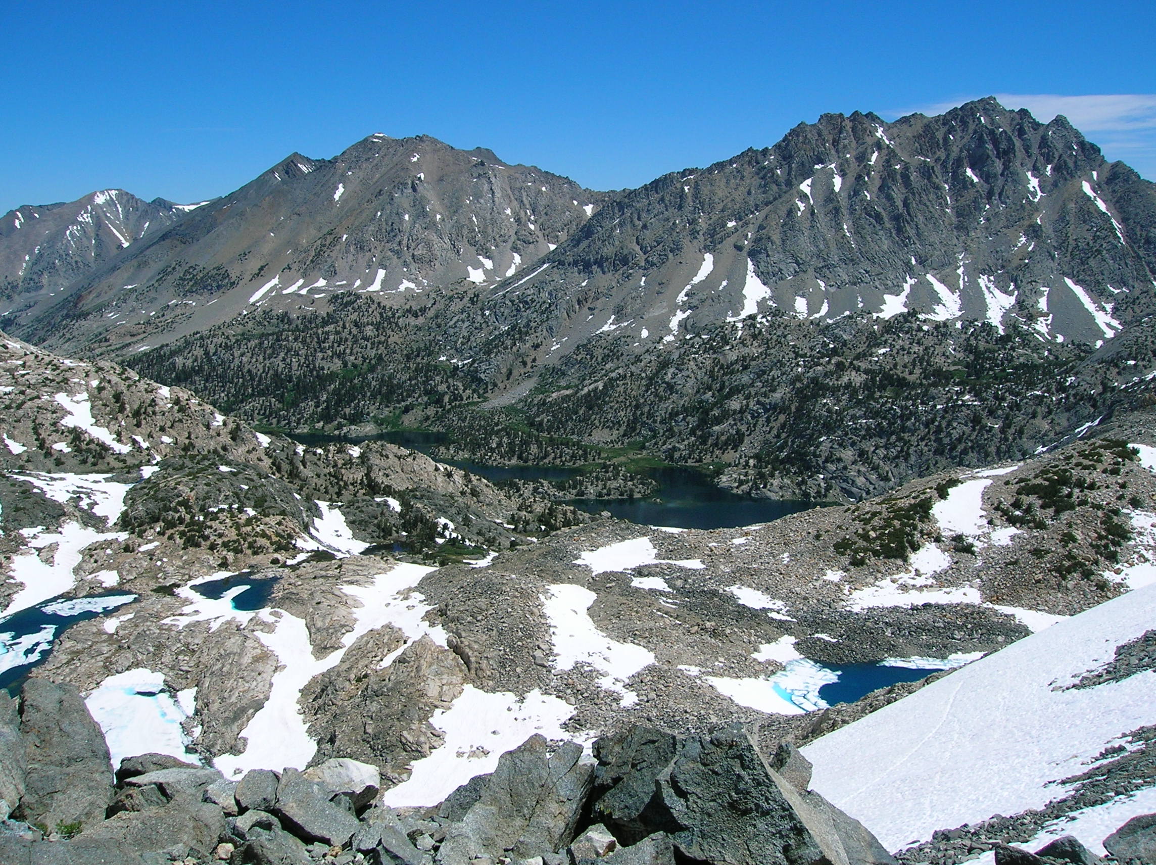
Nice mountain and reflection in the lake as we started our big day of hiking towards the pass. Tony points to where we gotta go. A side view of our favorite dome and a wide shot. Lake before the pass ascent with Tony's hat a bit askew. A look at the entrancing Painted Lady, back across the lake in the direction we had come, and another wider PL shot. A good shot Tony made of the ridge near the pass. The snow begins, and Tony is not looking forward to this.
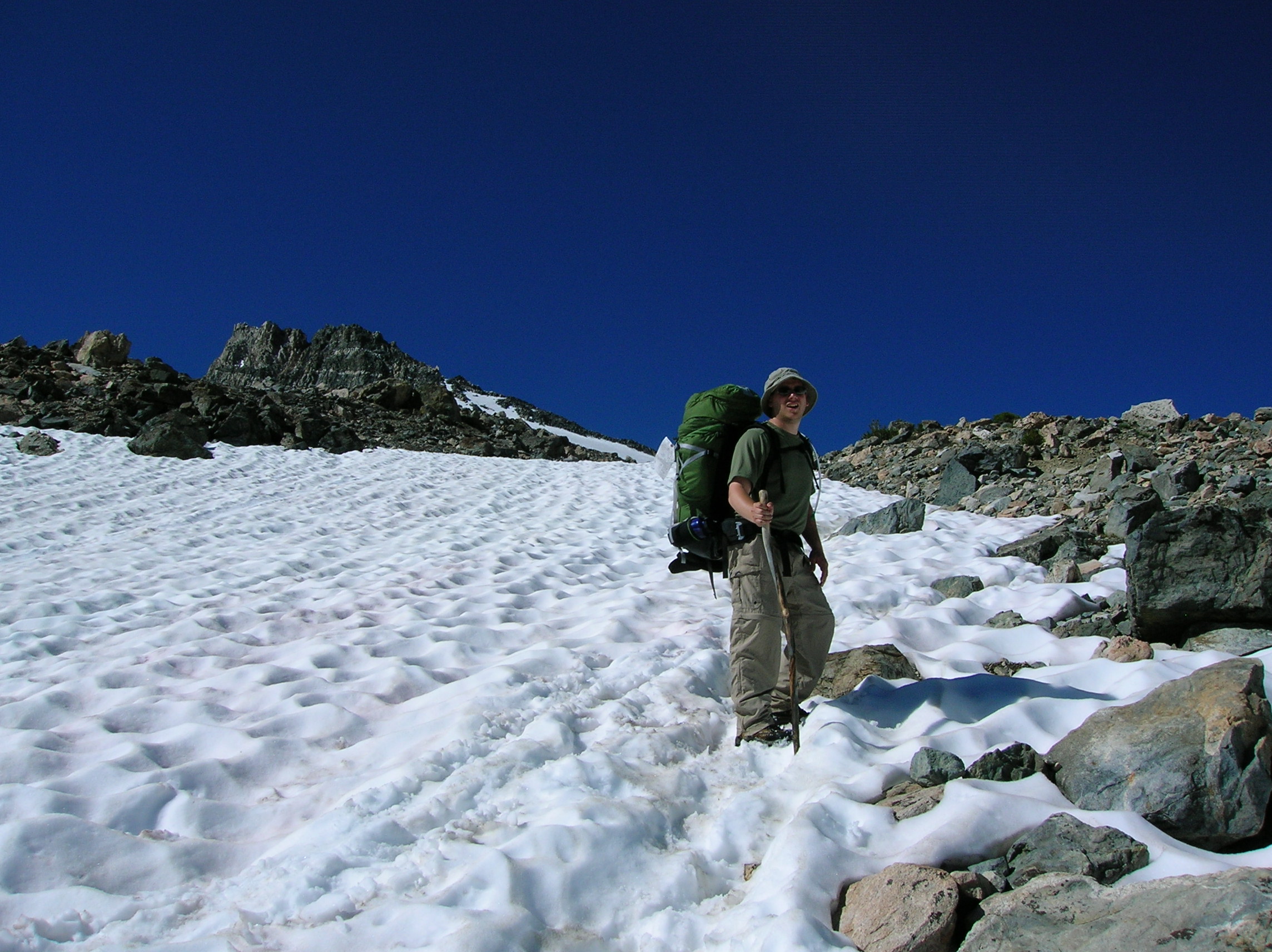
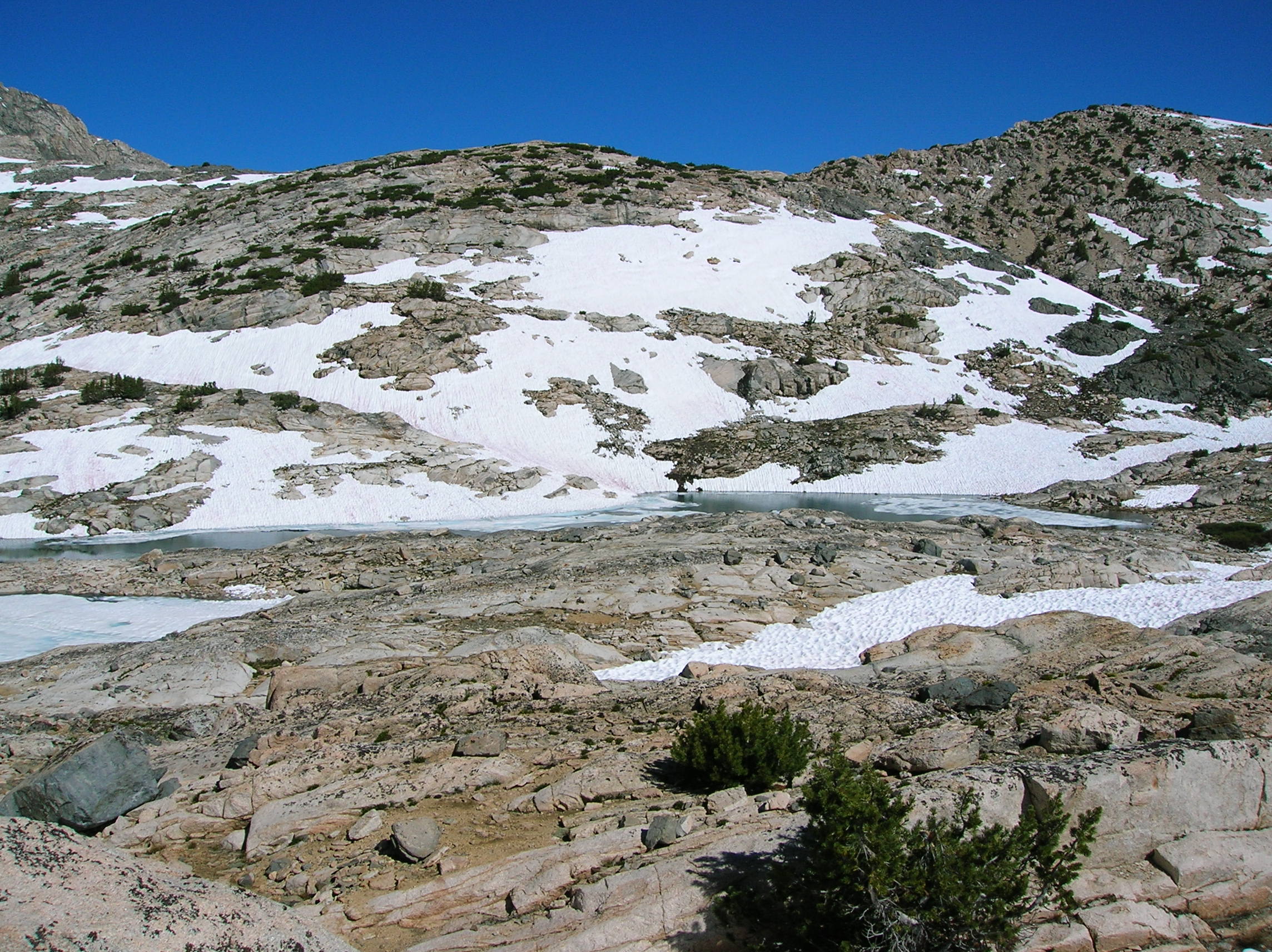
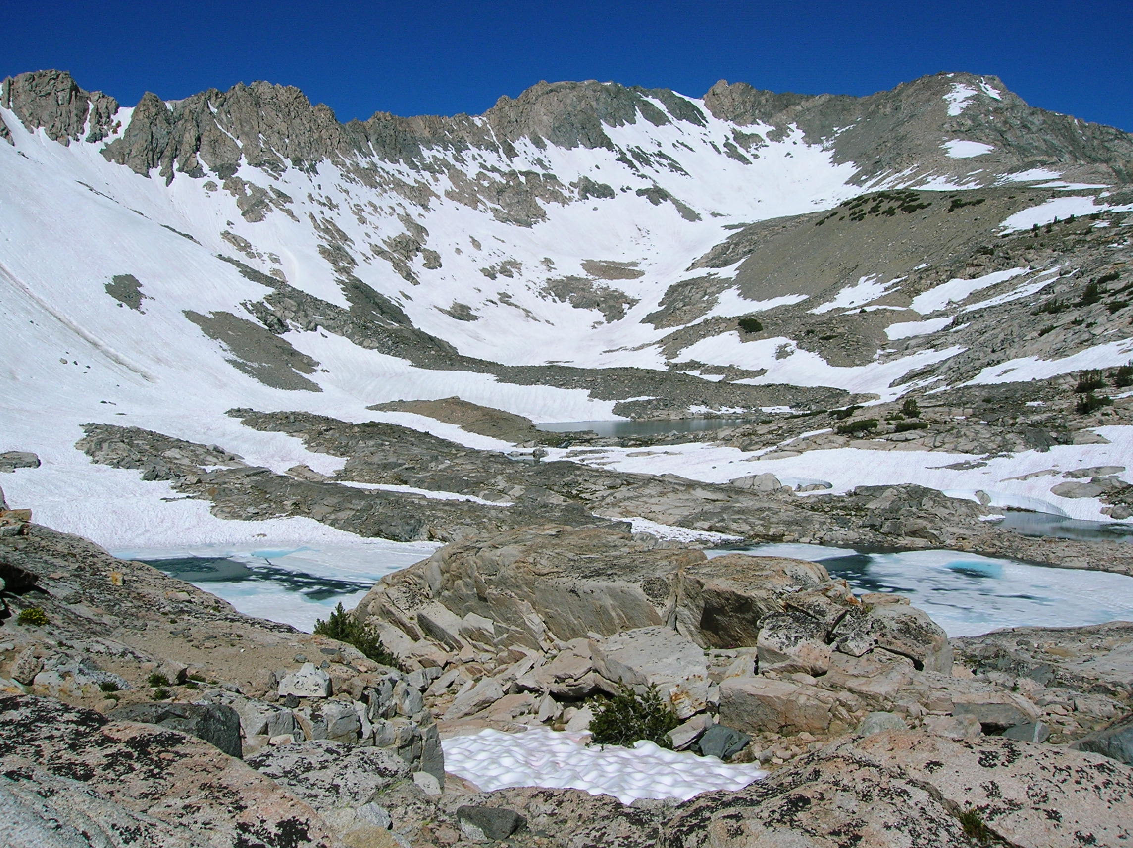
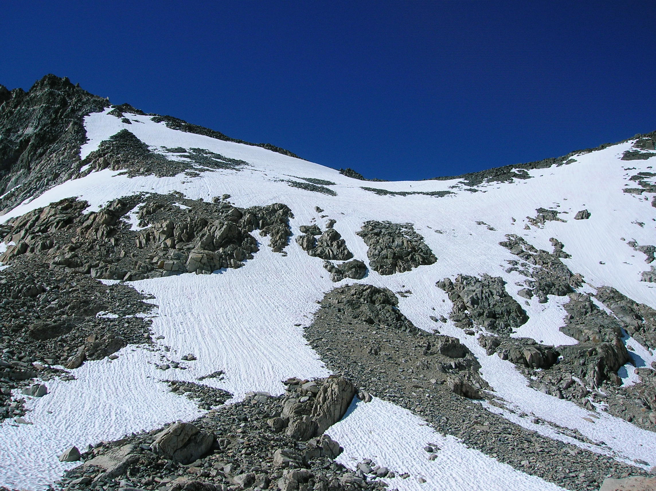
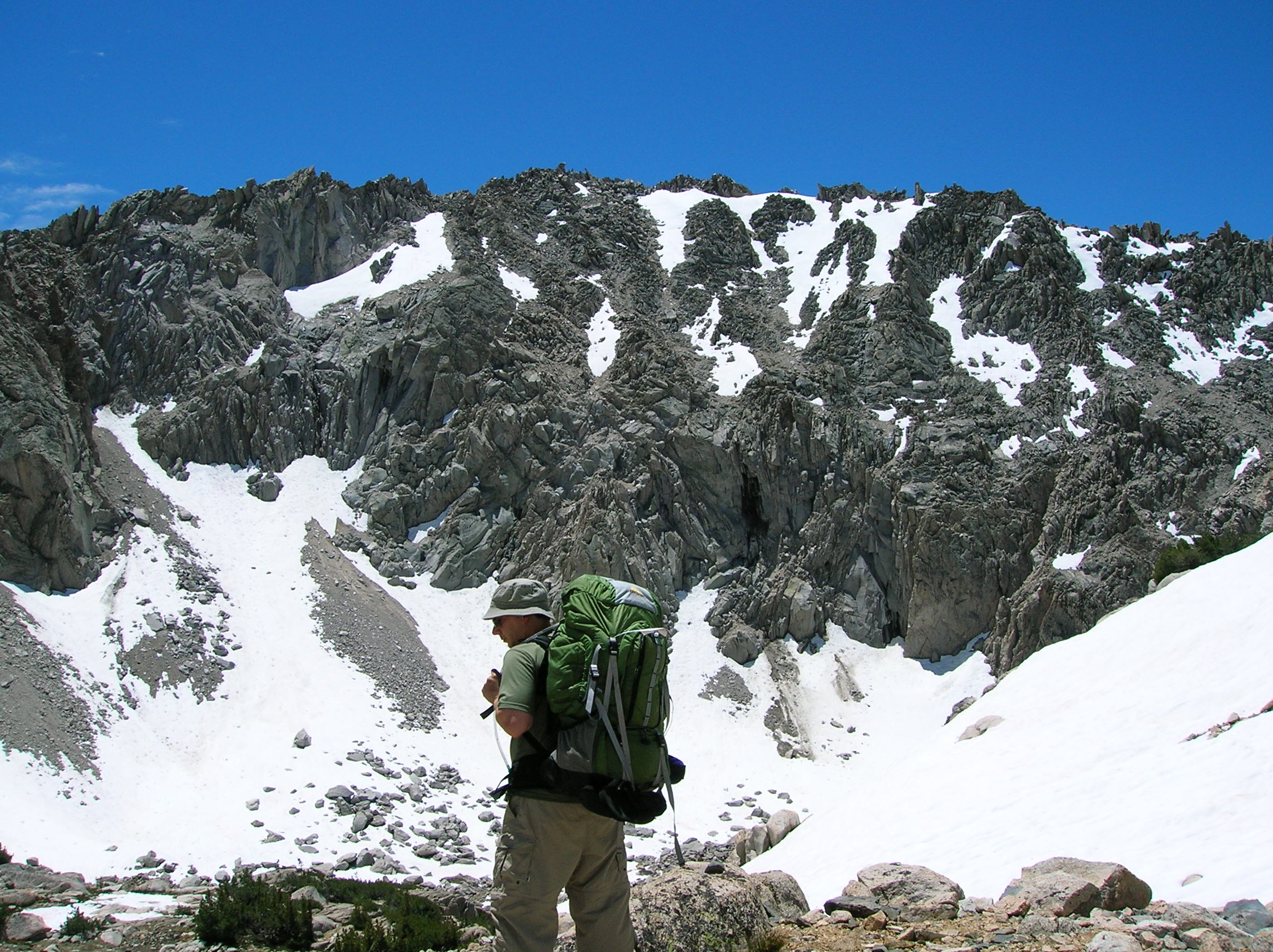
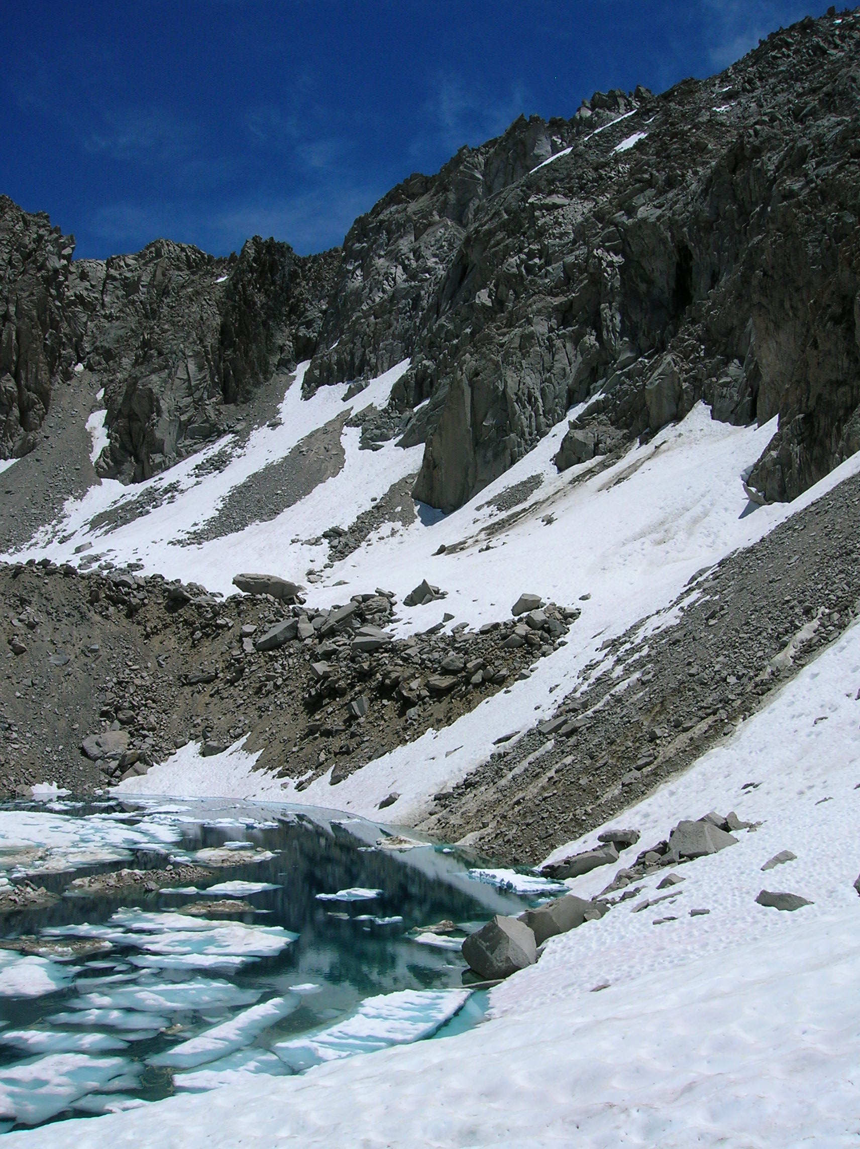
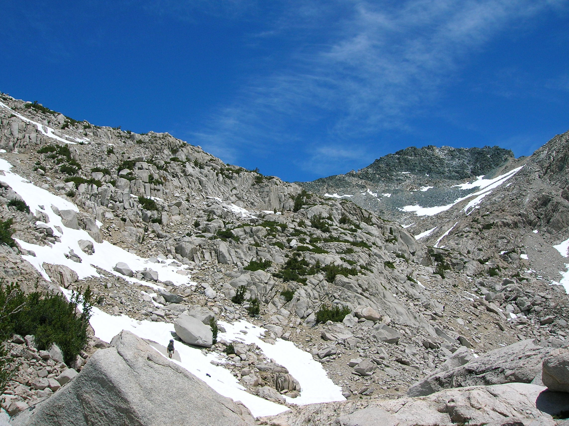
Climbing in the snow uphill was exhausting. Here's a look back after the first rest. And a look up. Tony tired on the climb up. 3 guys figuring out the way to go. We took careful note since we didn't want to go in the wrong tracks and have to reverse. This did not look fun as the slope looked like the steepest stuff I ski at Squaw. Nice glacier lake before more up. Another direction of the same.
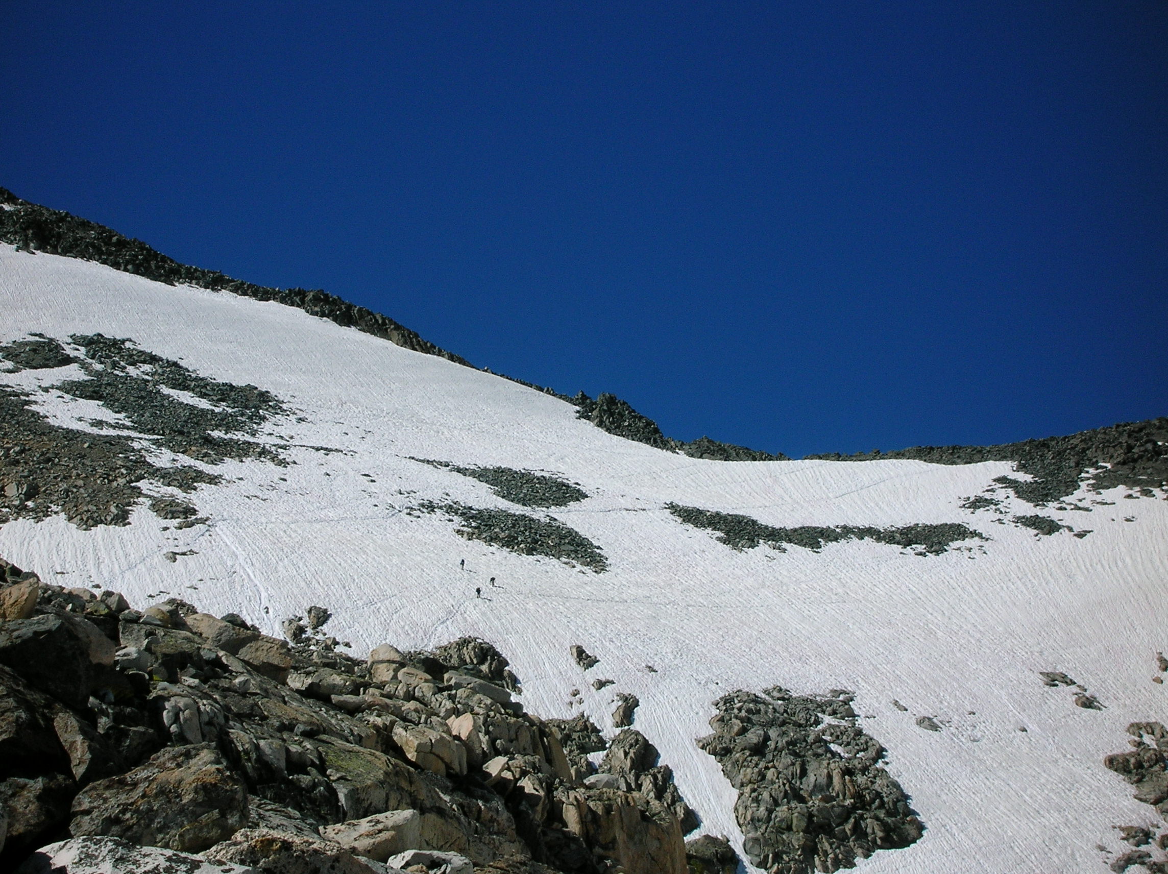
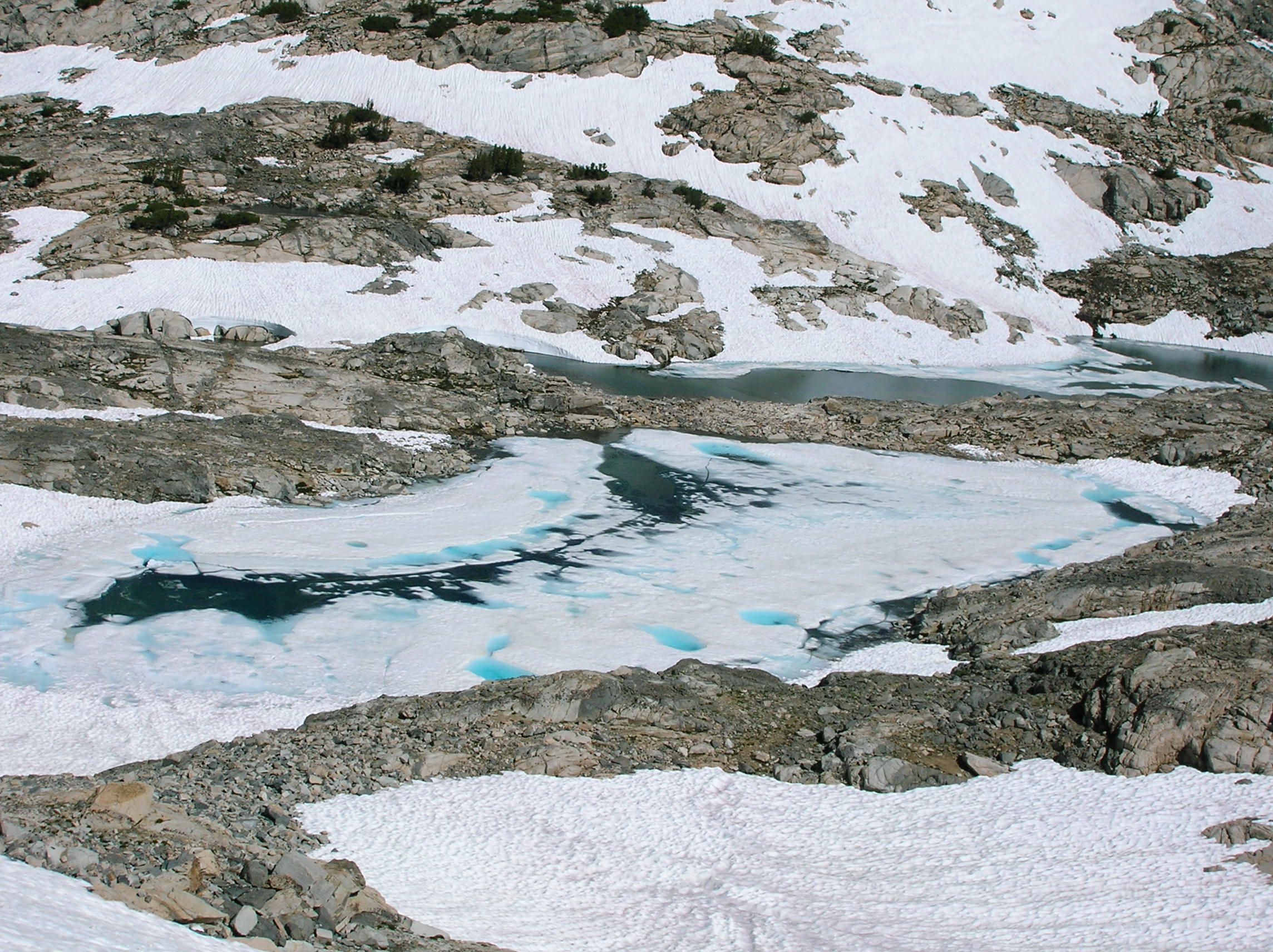
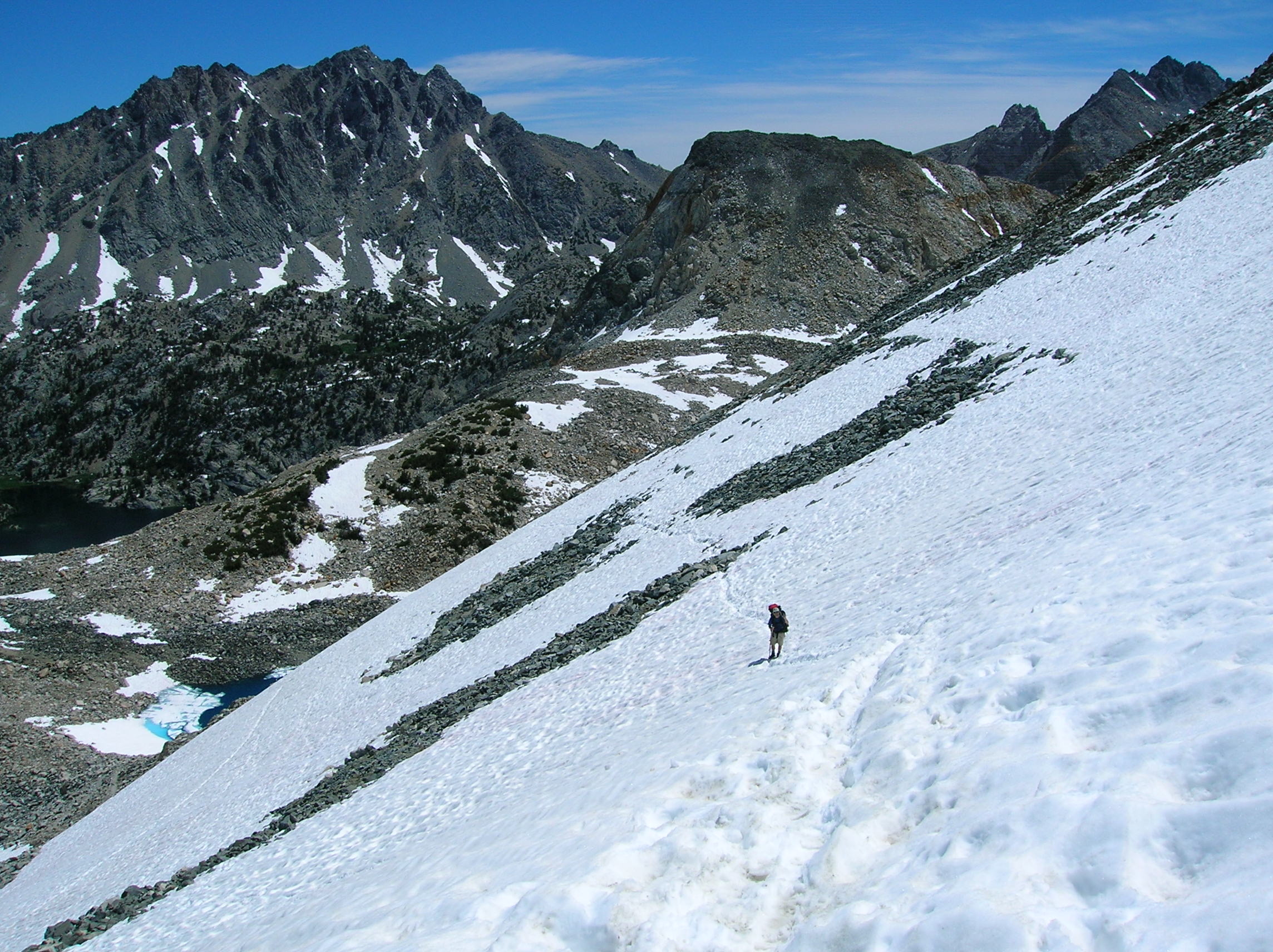
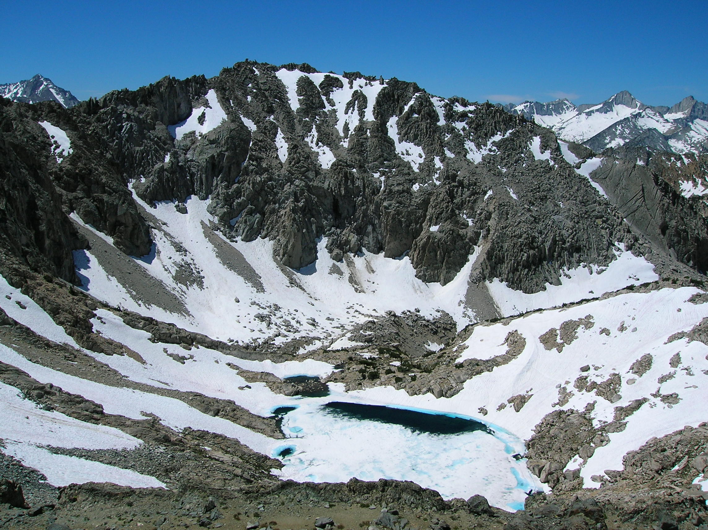
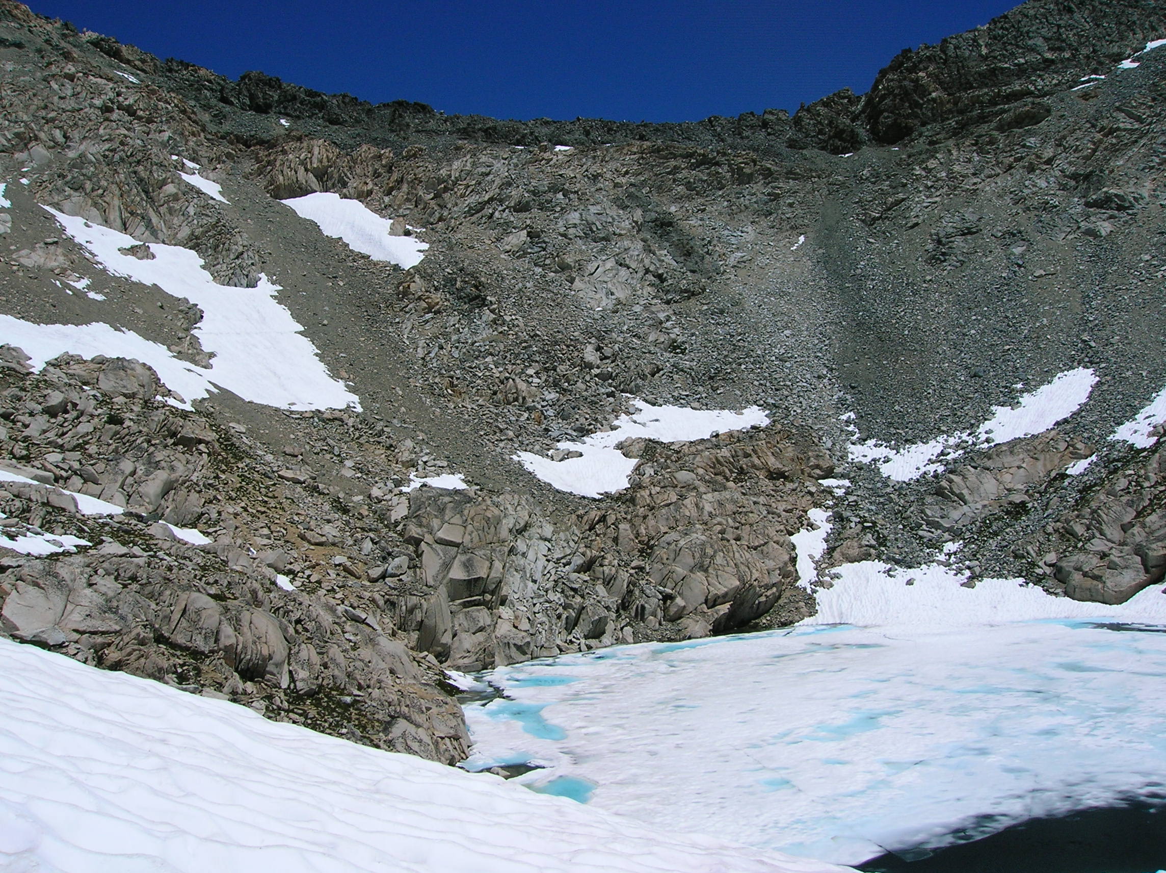
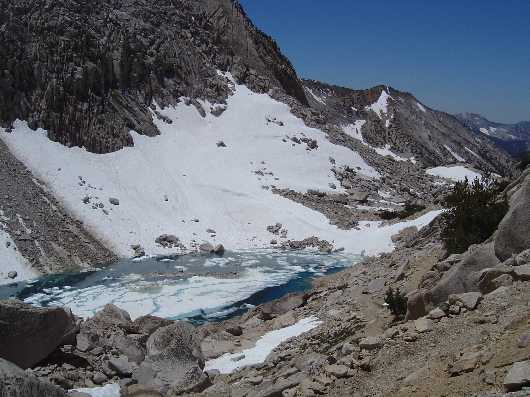
If you look closely at this next photo, you can see the last of those three guys making his way across the snow. It really shows the steepness well. Nice blue glacier lake. And a couple more angles.
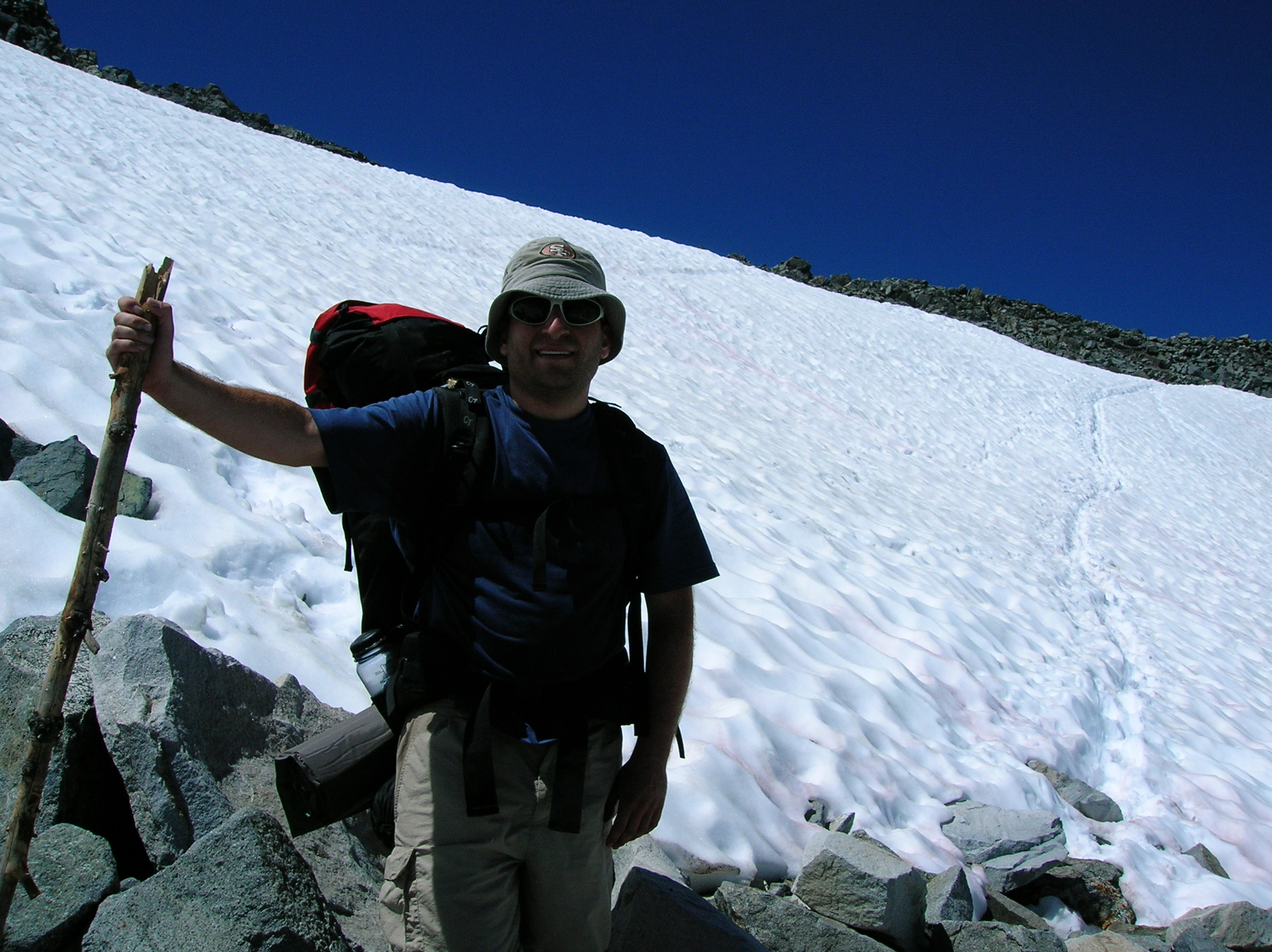
For me, this is the scariest and best shot of the trip as Tony trudges through a particularly steep part of the snow. Shot of myself before the final traverse to the top of the pass. Tony took my camera to take a long shot of me on the slope in the middle of the finishing traverse. I was so glad it was almost over, I didn't realize there was still a tough part ahead and almost slipped a couple times in my excitement to reach the top and drink the 100ml of Candadian duty-free Finlandia Vodka I had rationed for us as a reward. While the snow trekking actually was not as bad as it looked from down low (a thought echoed by others we spoke to at the top) it nonetheless was scary before a slip-up could have resulted in a very long slide down.
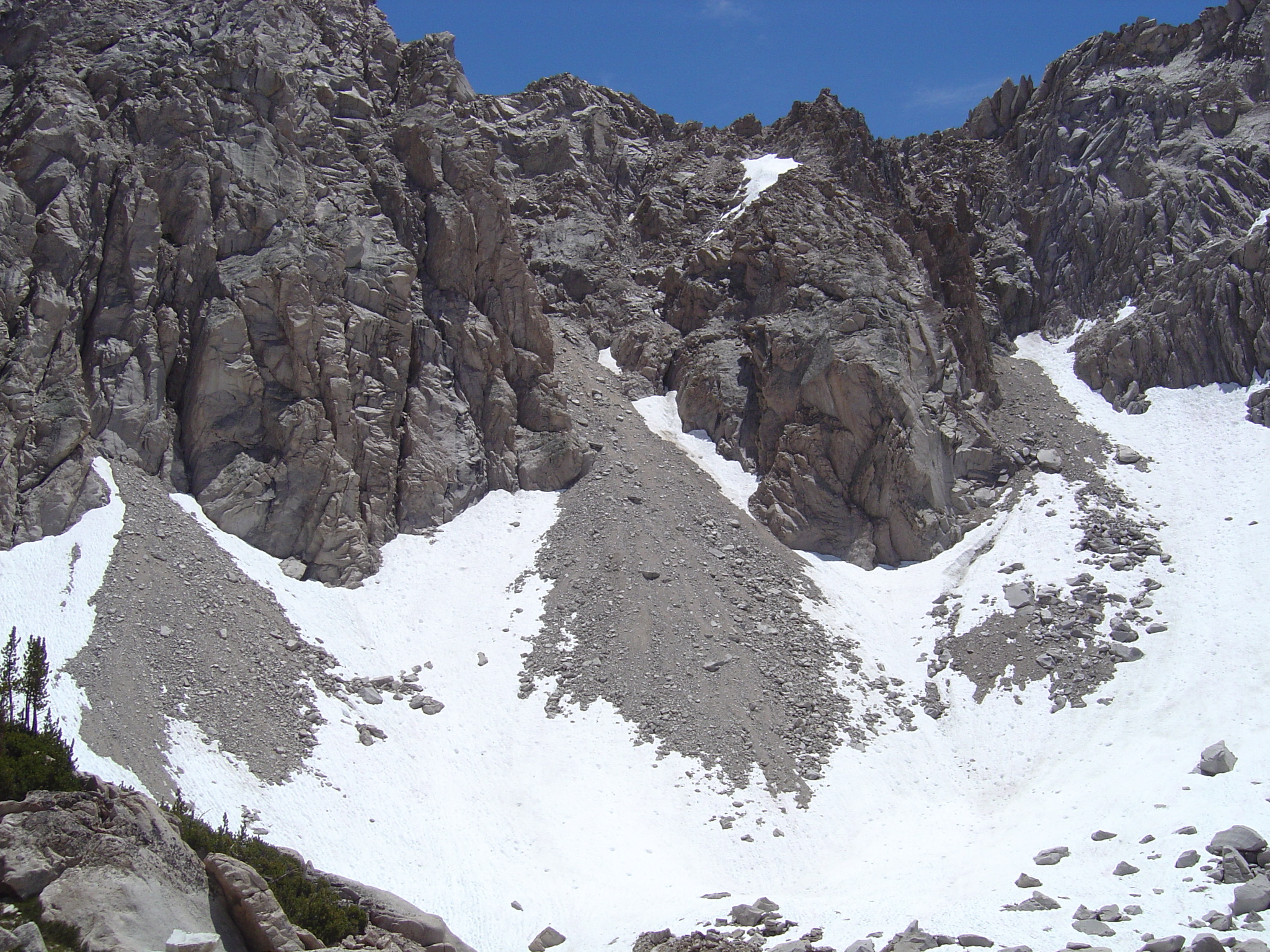
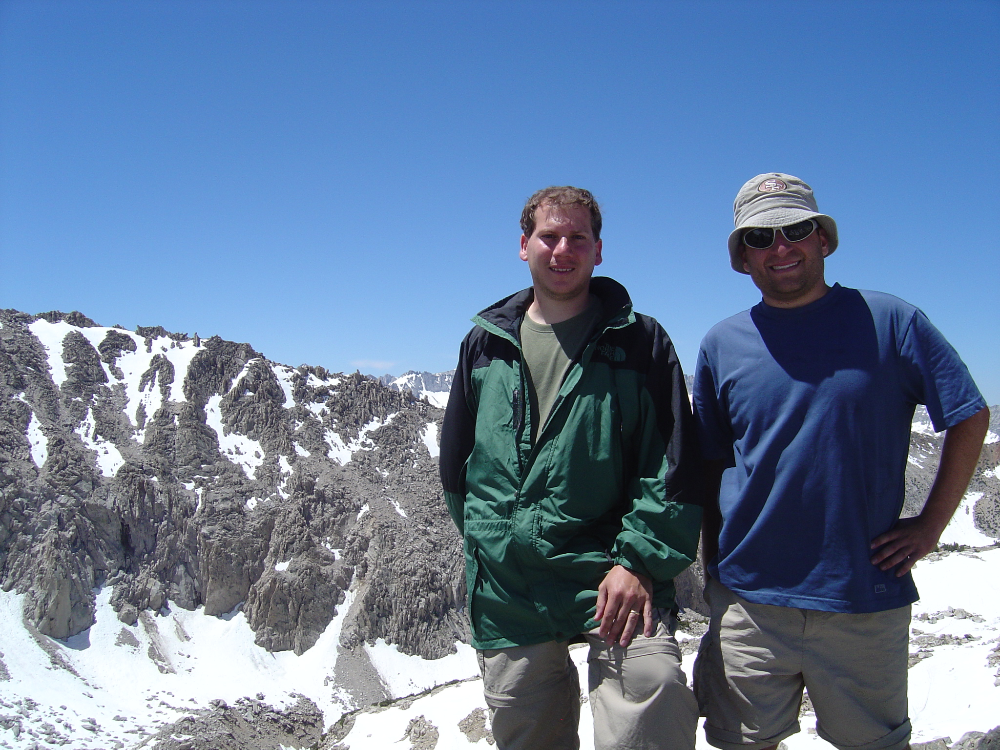
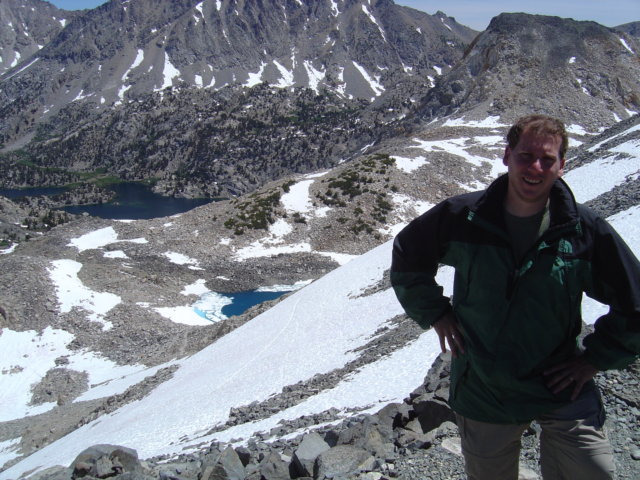
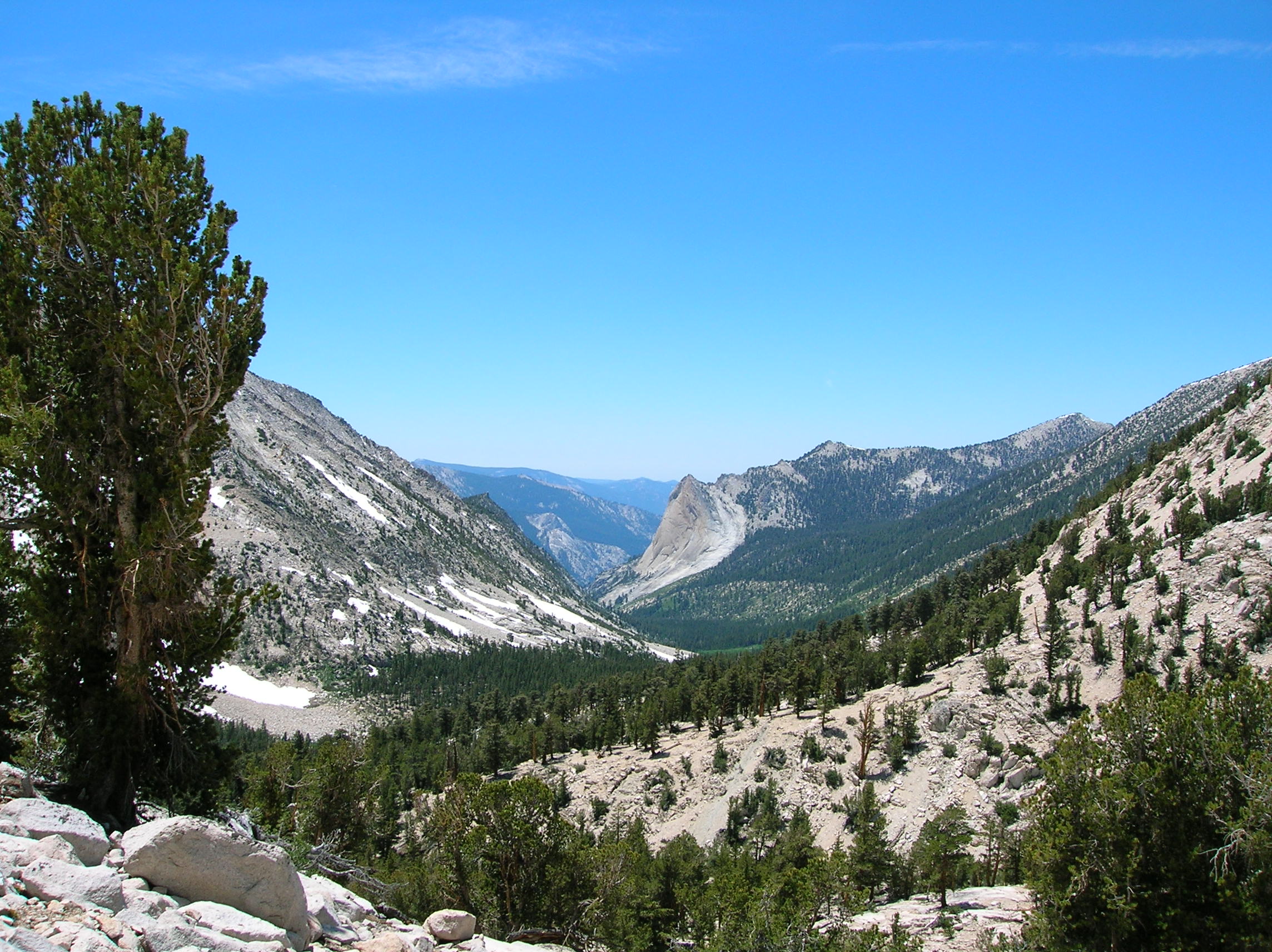
At the top of the pass, a look back east and then west in the direction we were to continue that day on some serious decline. There still was snow on the backside, but not nearly as much. Tony contemplates about something at the top. A panoramic movie (6MB) to download of the view up there. We both a swig of the last of my cheap vodka, a lunch of crackers and granola bars, talked with some Polish couple that did research at UC Merced and who took our photo (and we their's) and then headed down. A nice blue glacier lake coming down on the back side. Nice reflection of the tall cliffs in the blue lake on this shot. People coming up the backside. I felt bad for them not only because this way seemed, incredibly, to be even steeper than the way we'd come, but also because they were going to have to go down the trecherous glacier which I would not have enjoyed. After the previously seen patches of snow, it will very dry. I found it amazing how there had been so much snow not long ago, but the elevation drop was quick and this side must have gotten much more sun.
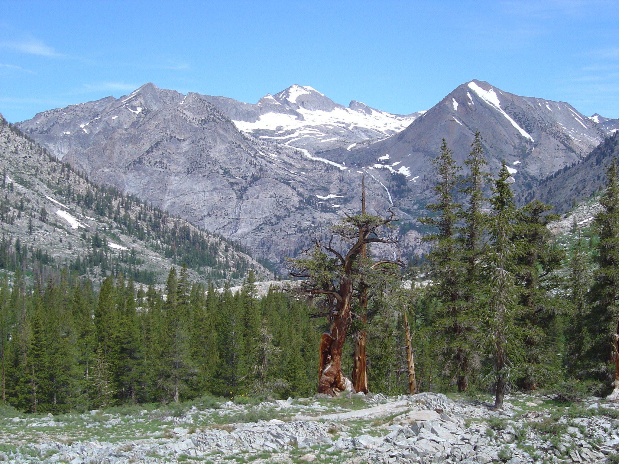
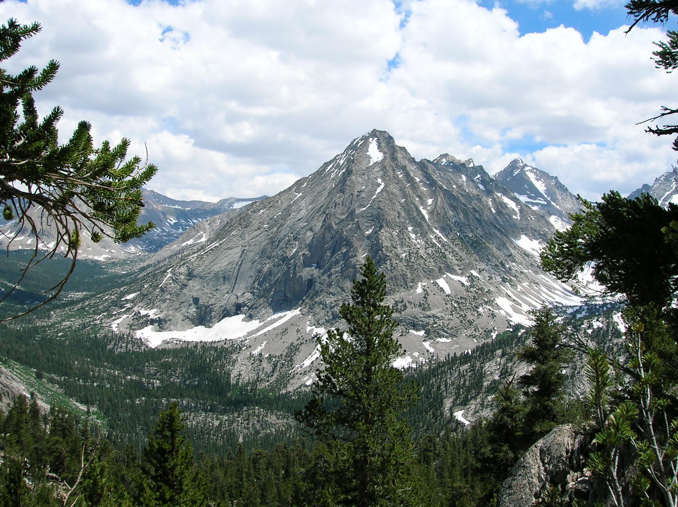
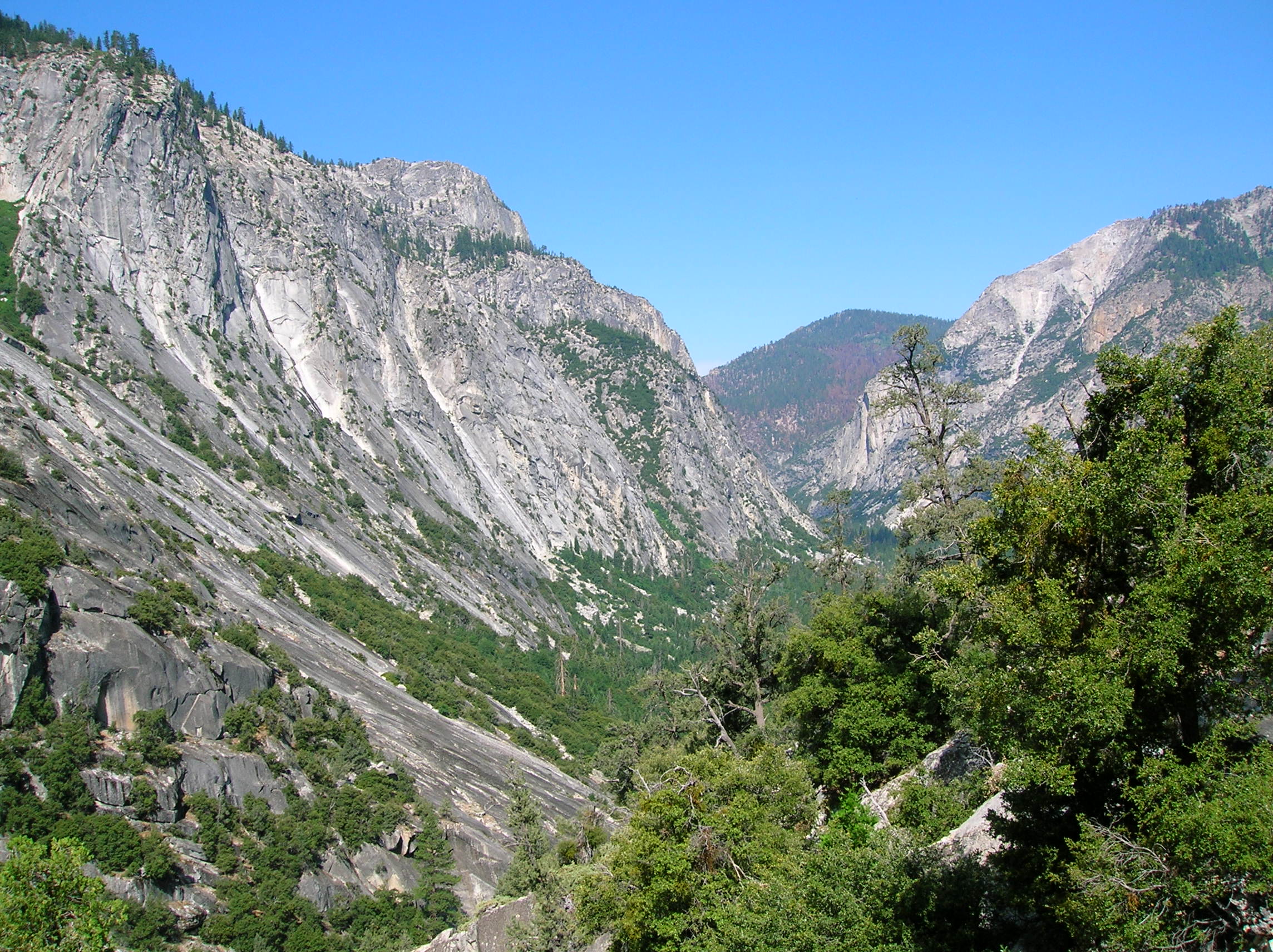
A look back up the backside where we had just came down from. I have no idea where we came from looking at this photo, but it's up there somewhere. Tony approaching one last snow crossing on the backside. Here's me on the finishing side of same part. Nice view of some valley. We still had a long way to go down. Charlotte Lake which we passed as we continued our way down. This day was incredibly painful as the hike was fairly long and it was our 4th day out and we'd gone up some steep and technically challenging slopes and now had to descend for quite some time. Even in pain, though, I could appreciate this nice mountain. Looking in a direction we thankfully were not going, it looked like some trouble was brewing in the ominously dark clouds.
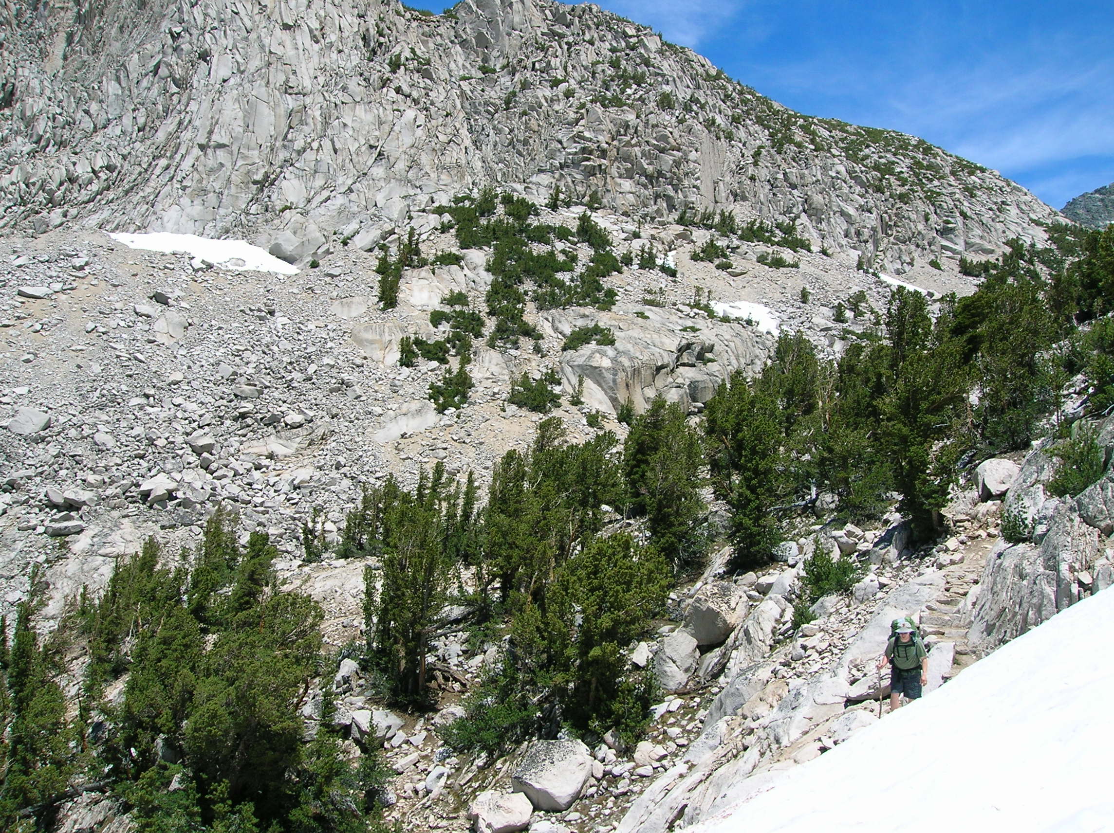
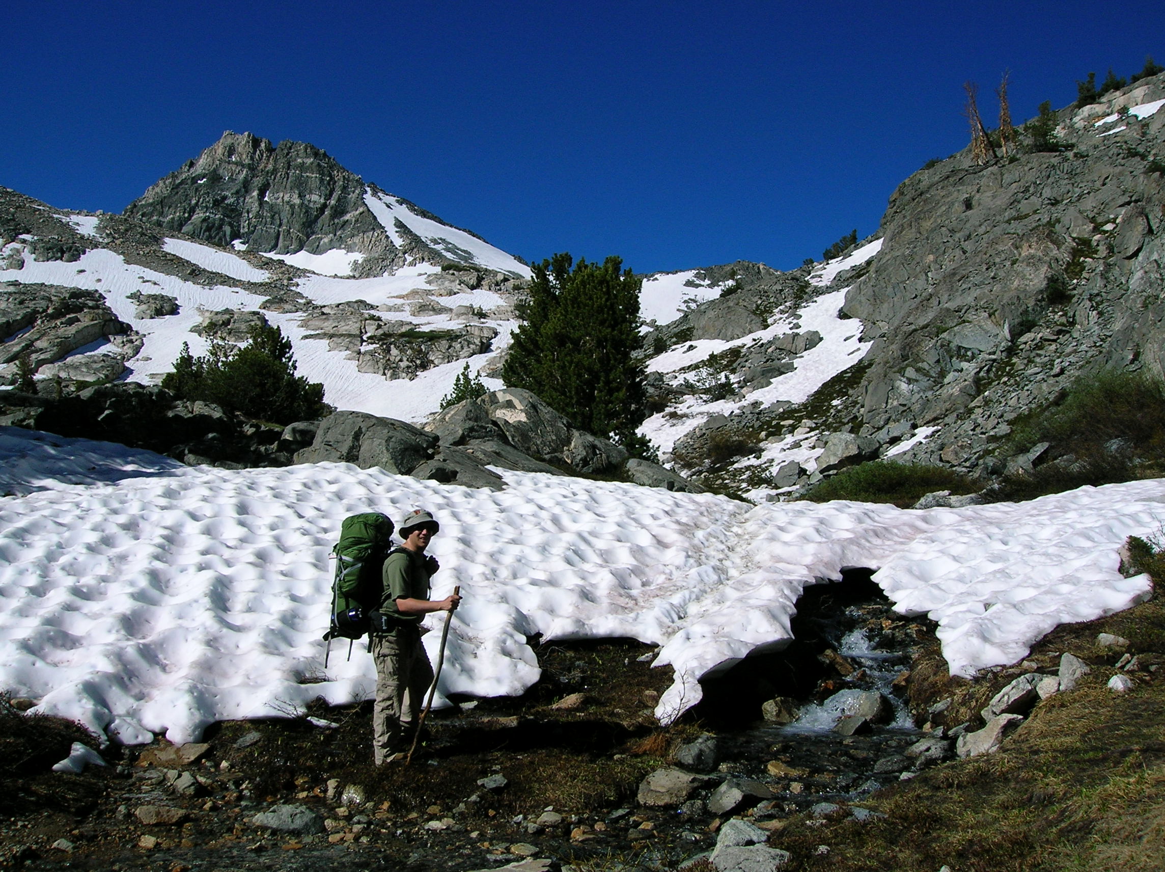
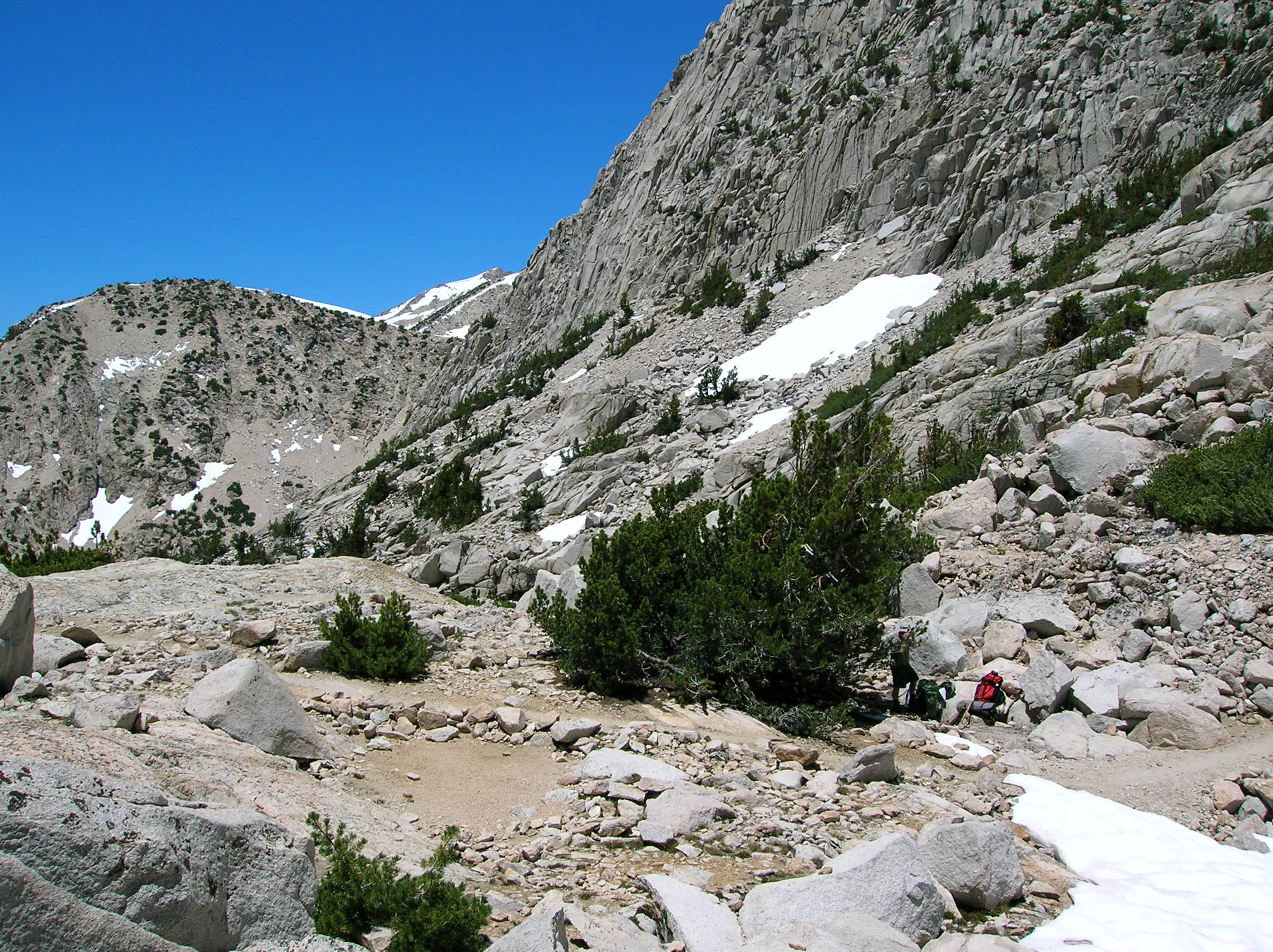
Continuing on, we stopped to take a little rest and have some jolly ranchers at a spot with a very nice meadow. A low-angle view of the meadow. Tony, looking in trouble. A huge pile of rocks from probably hundreds of years of slides as we continue on to the camp that never seemed to come. My feet were killing at this point and I knew I would be hobbling once I'd taken my shoes off.
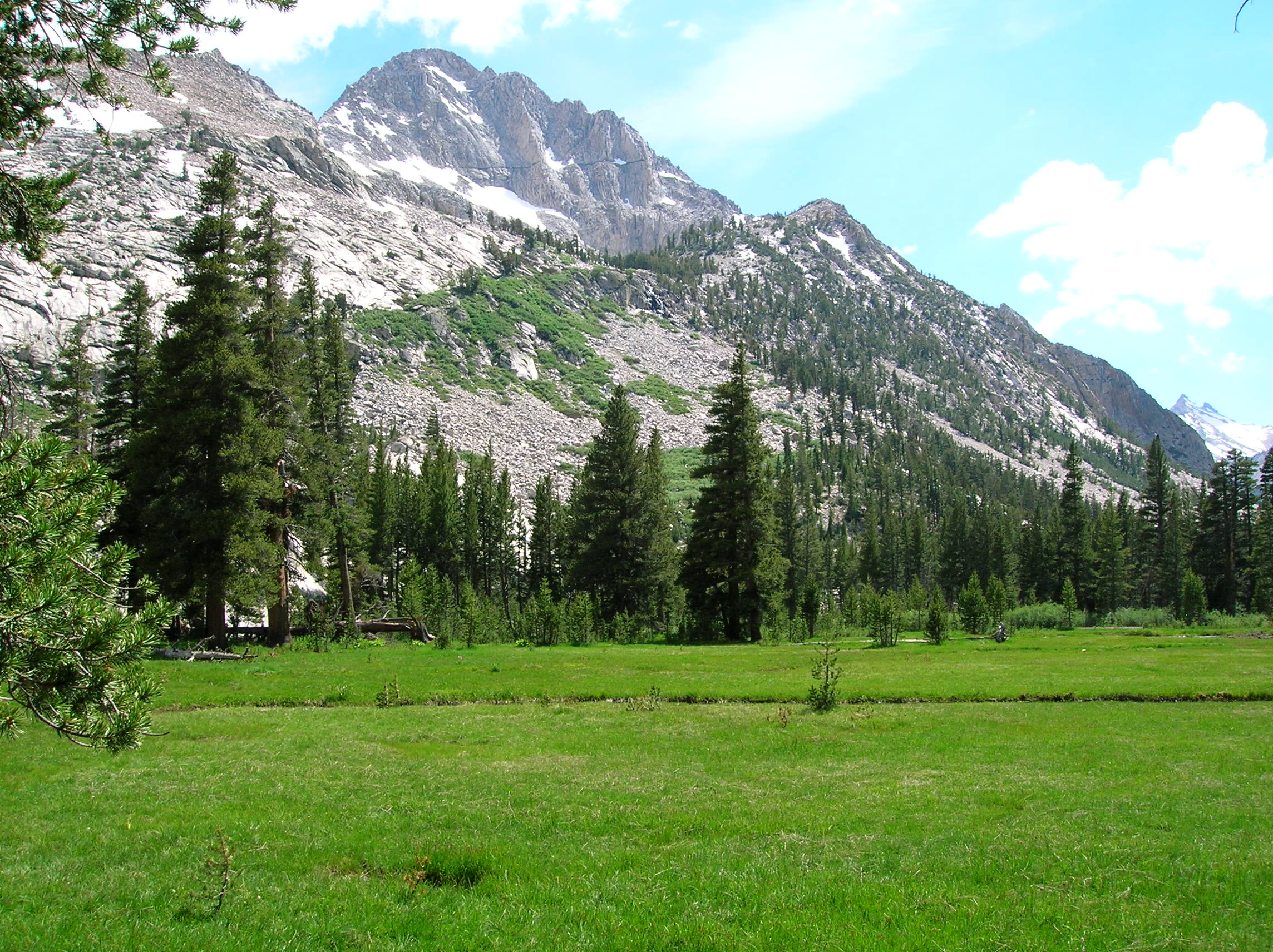
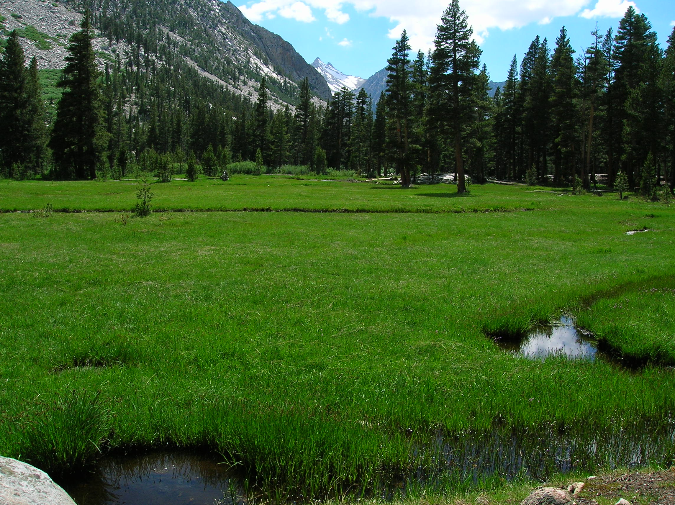
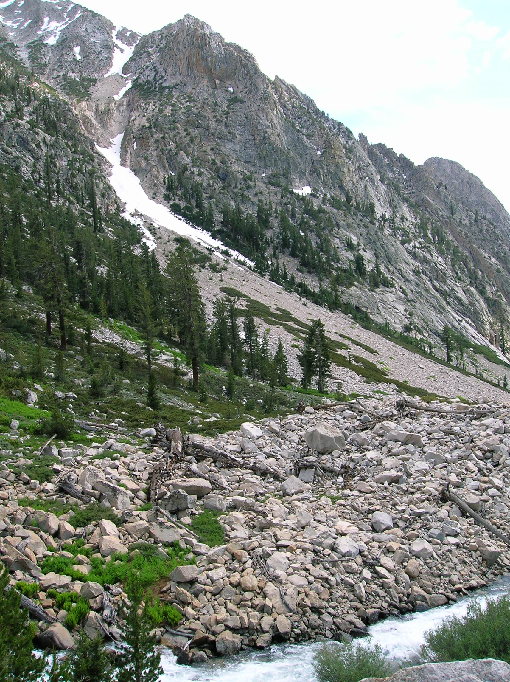
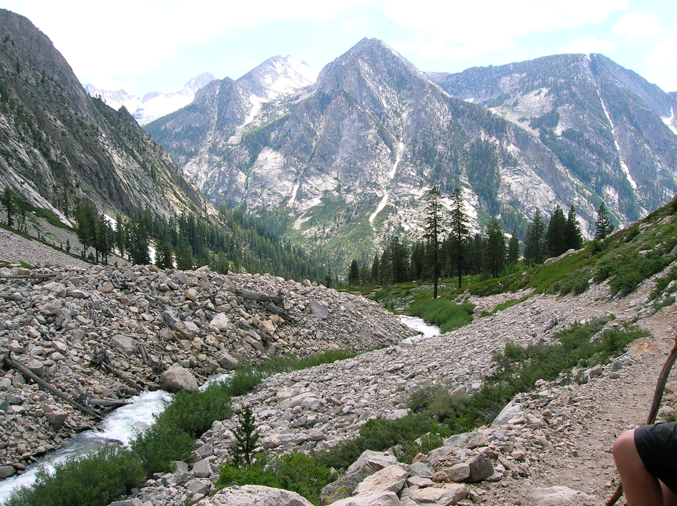
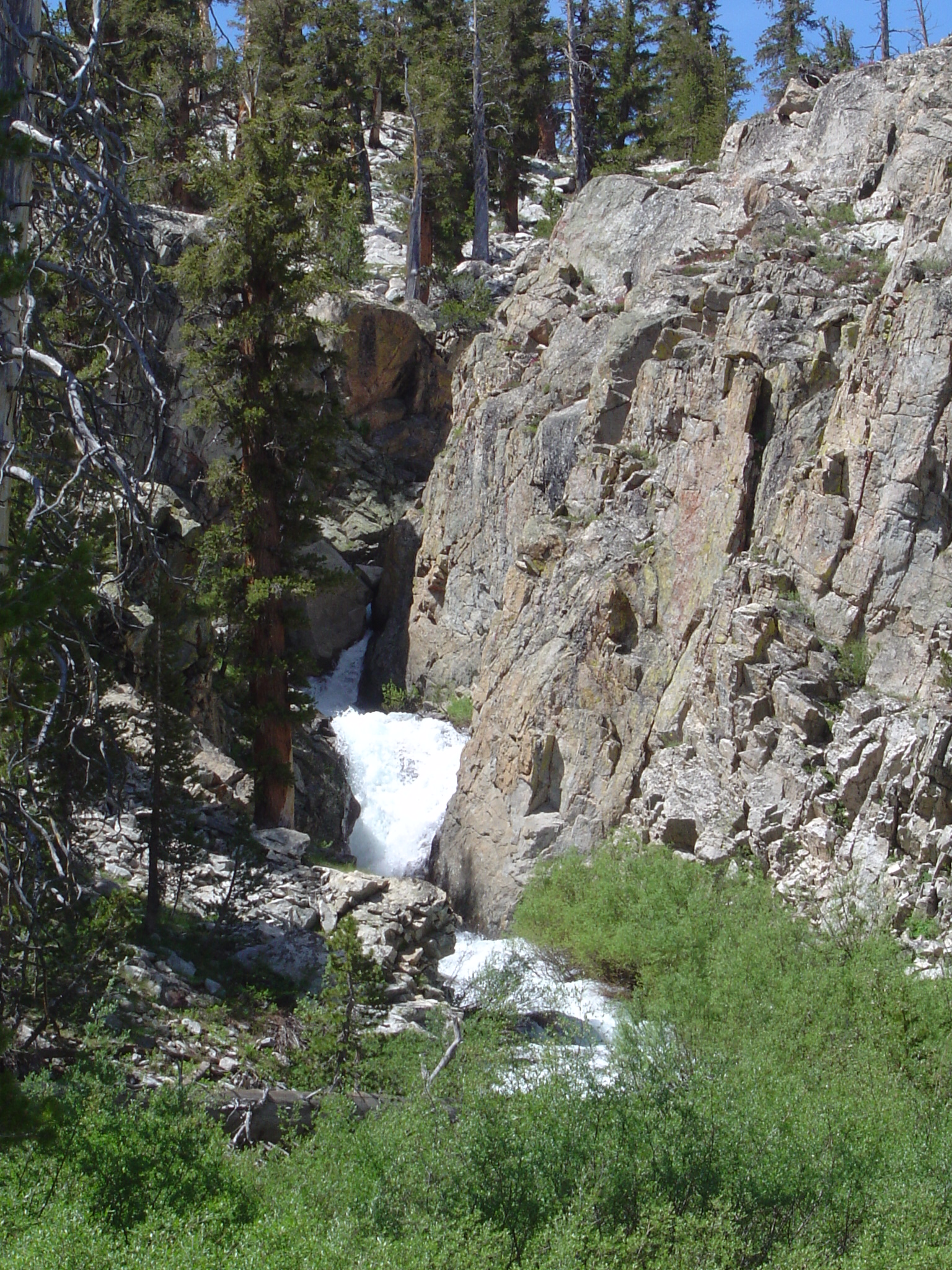
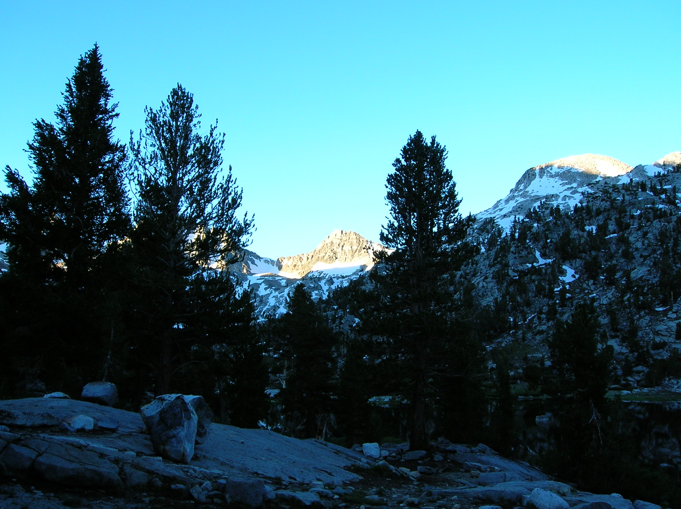
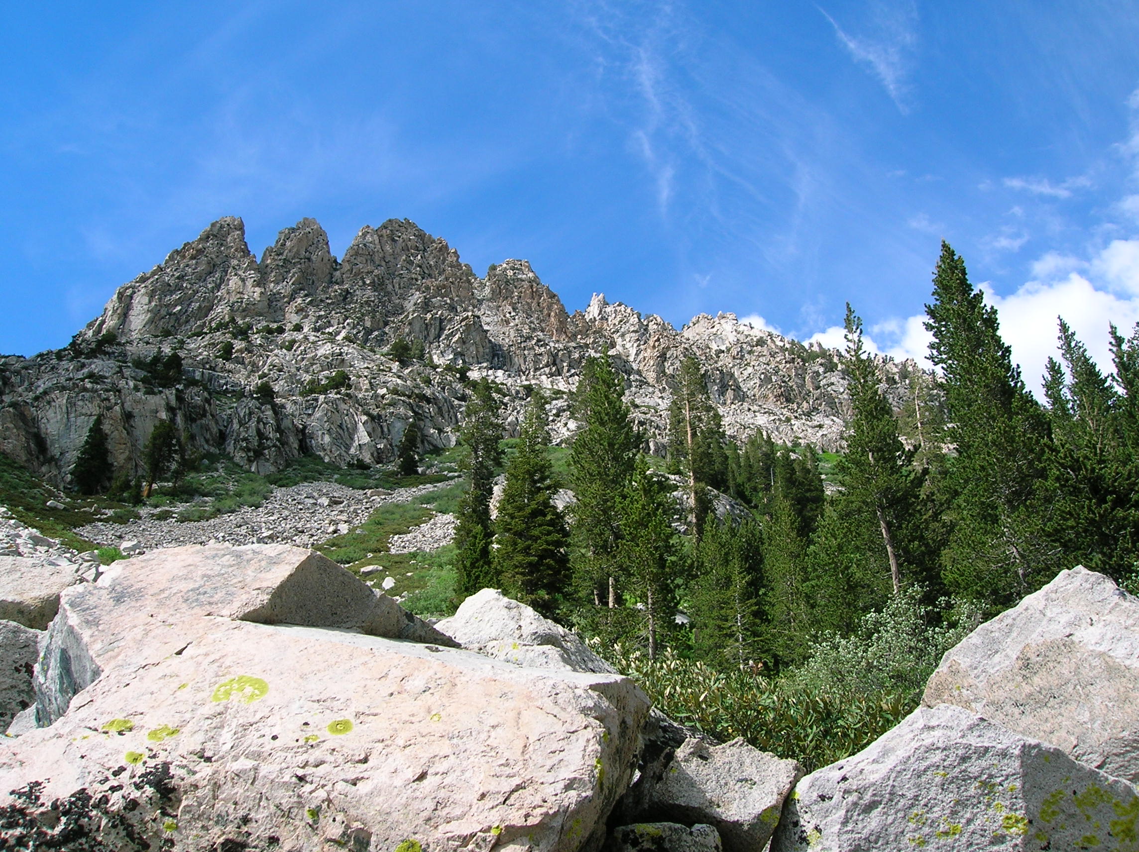
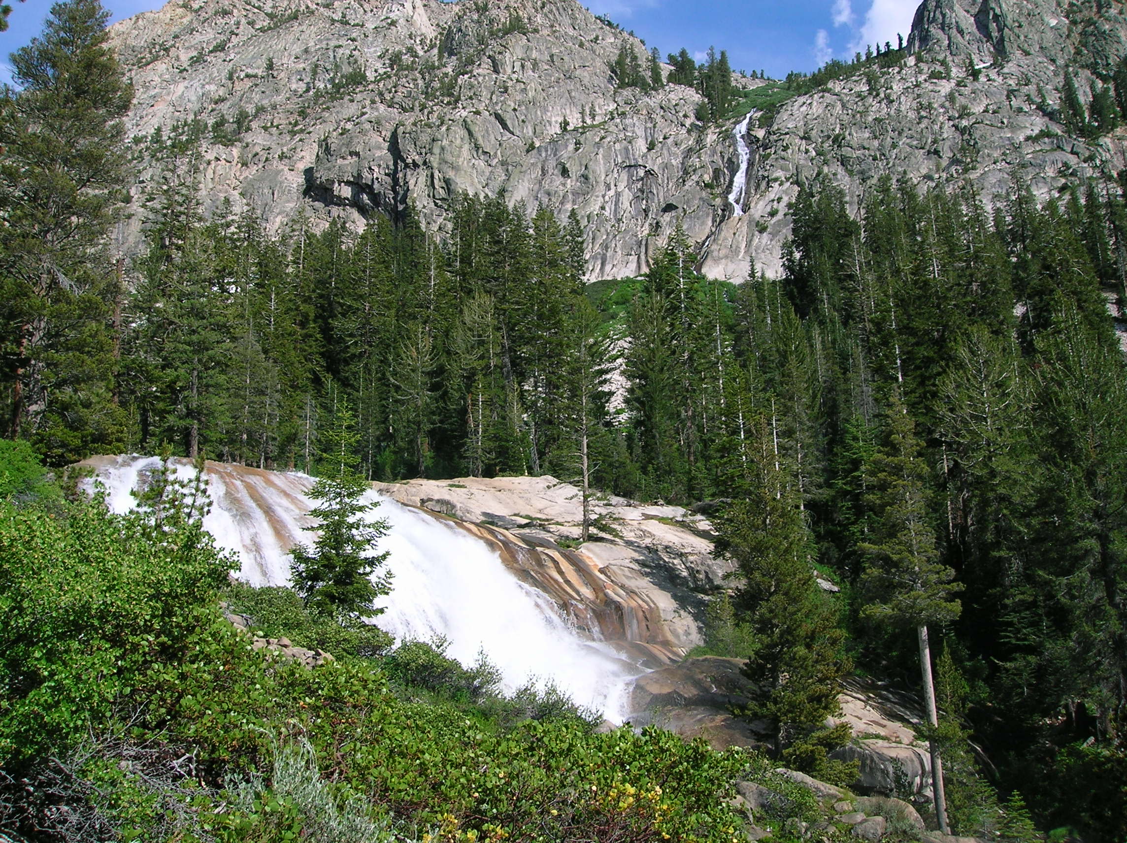
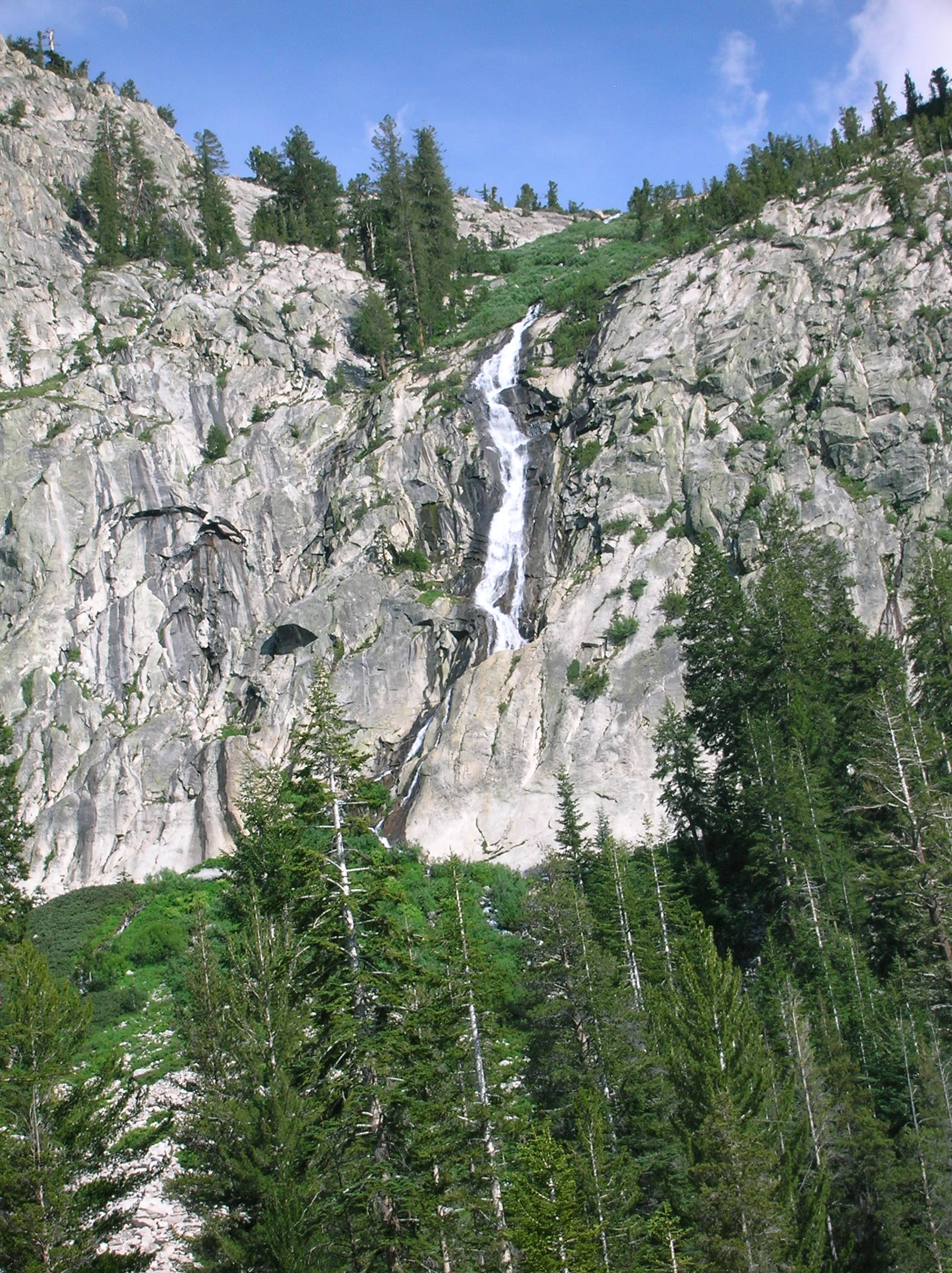
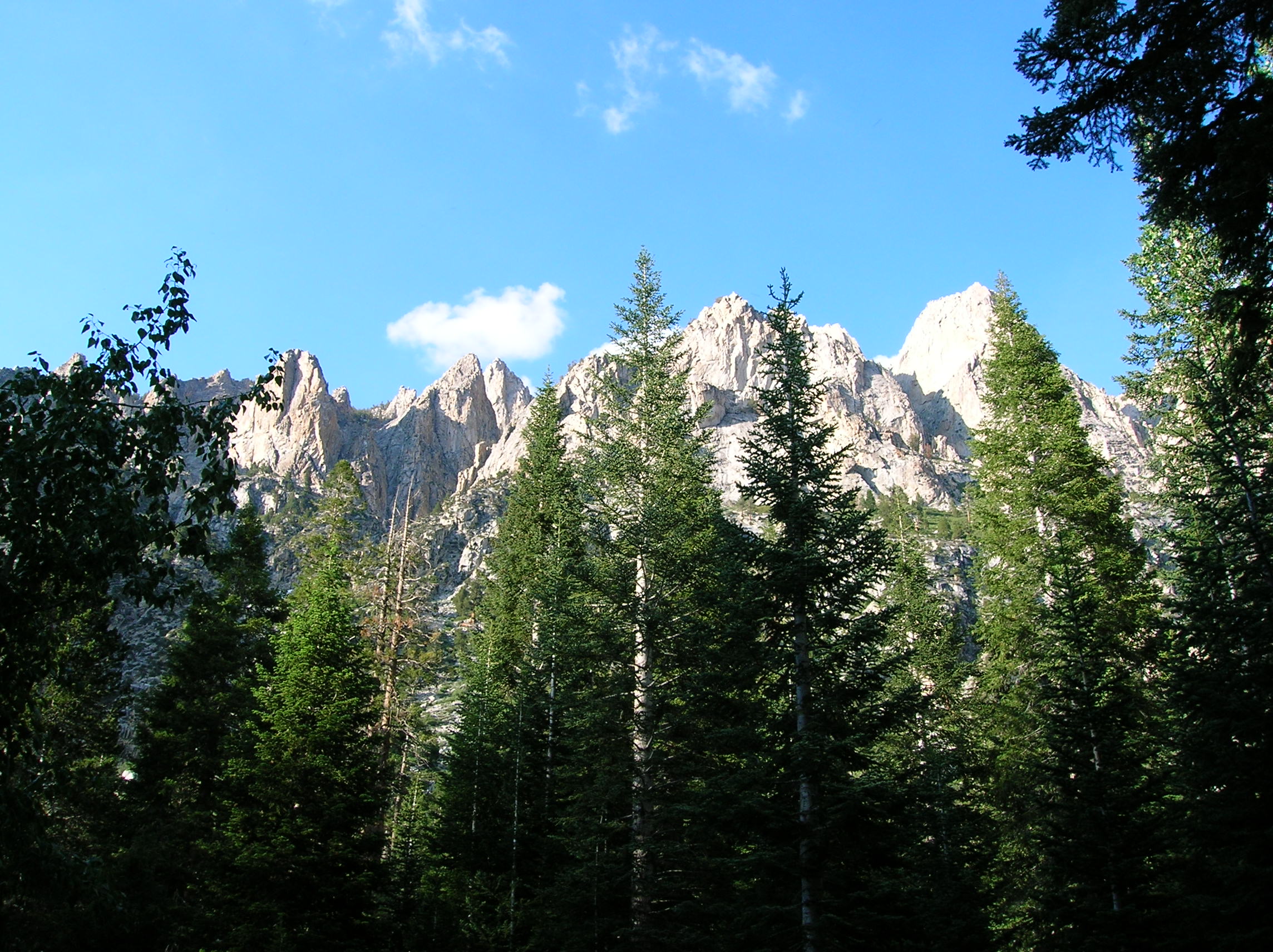
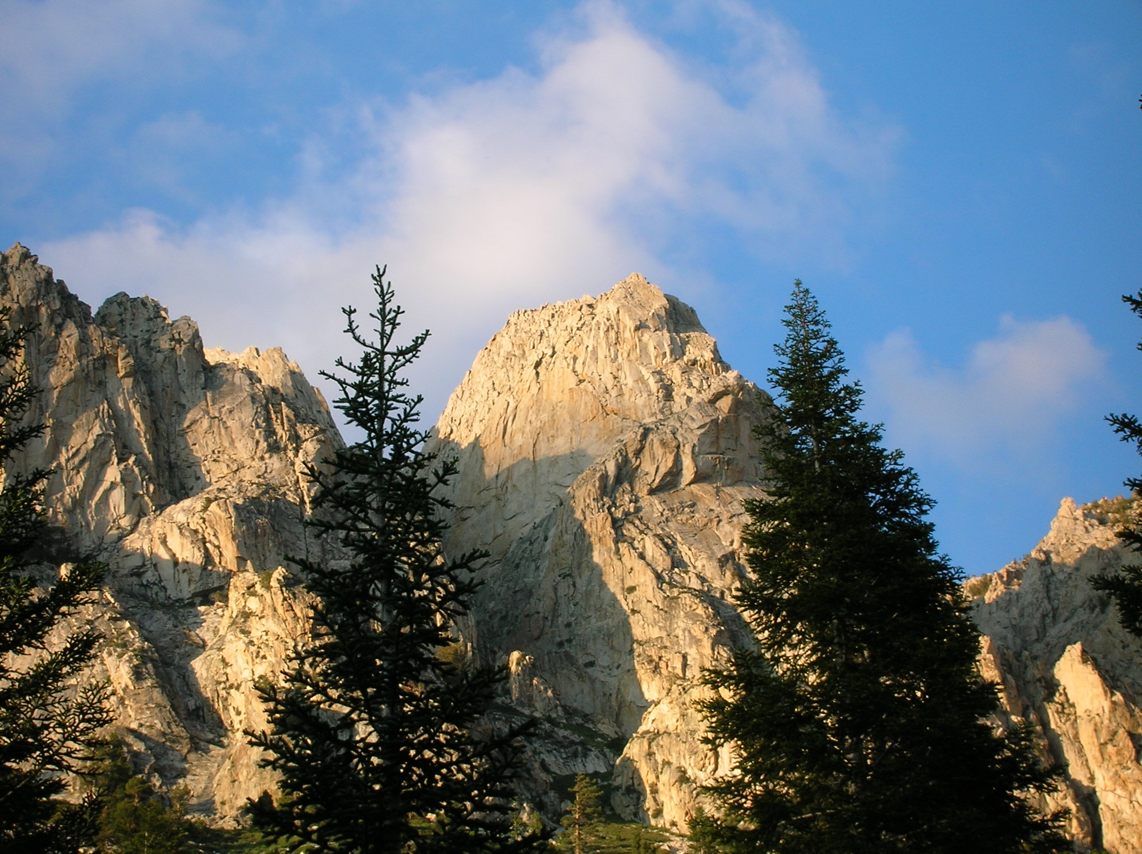
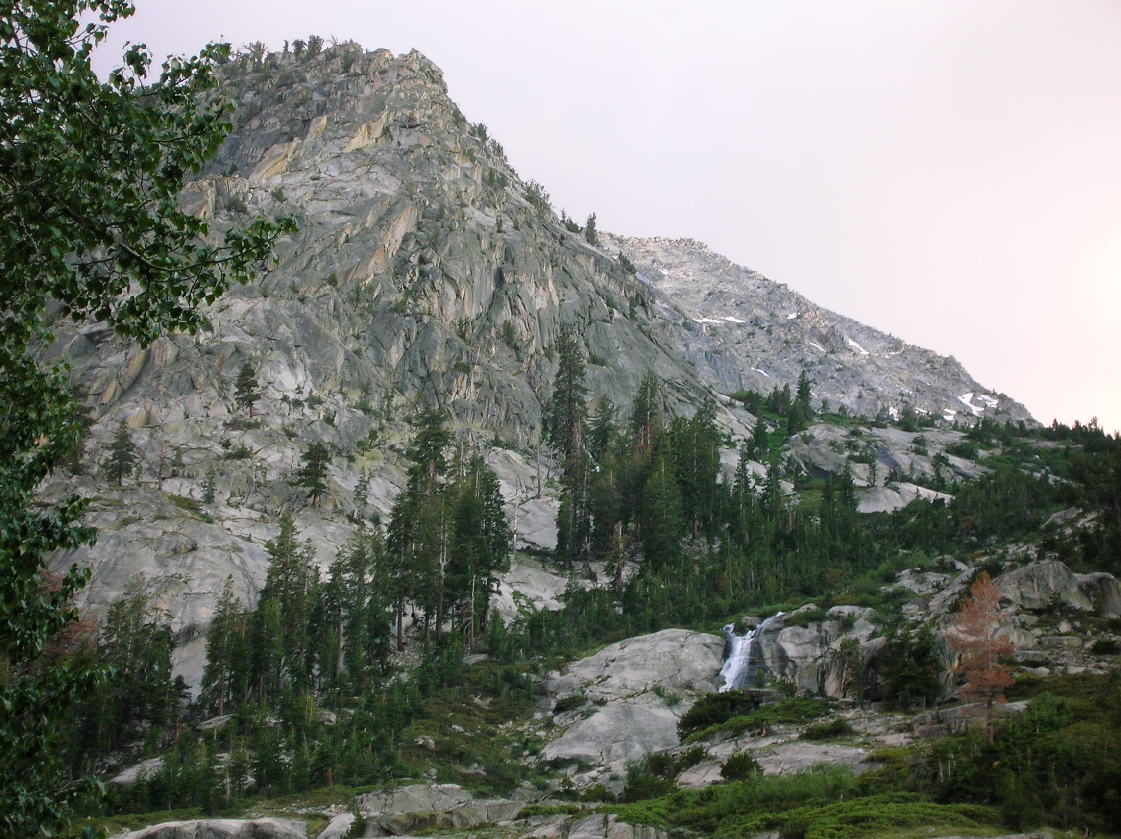
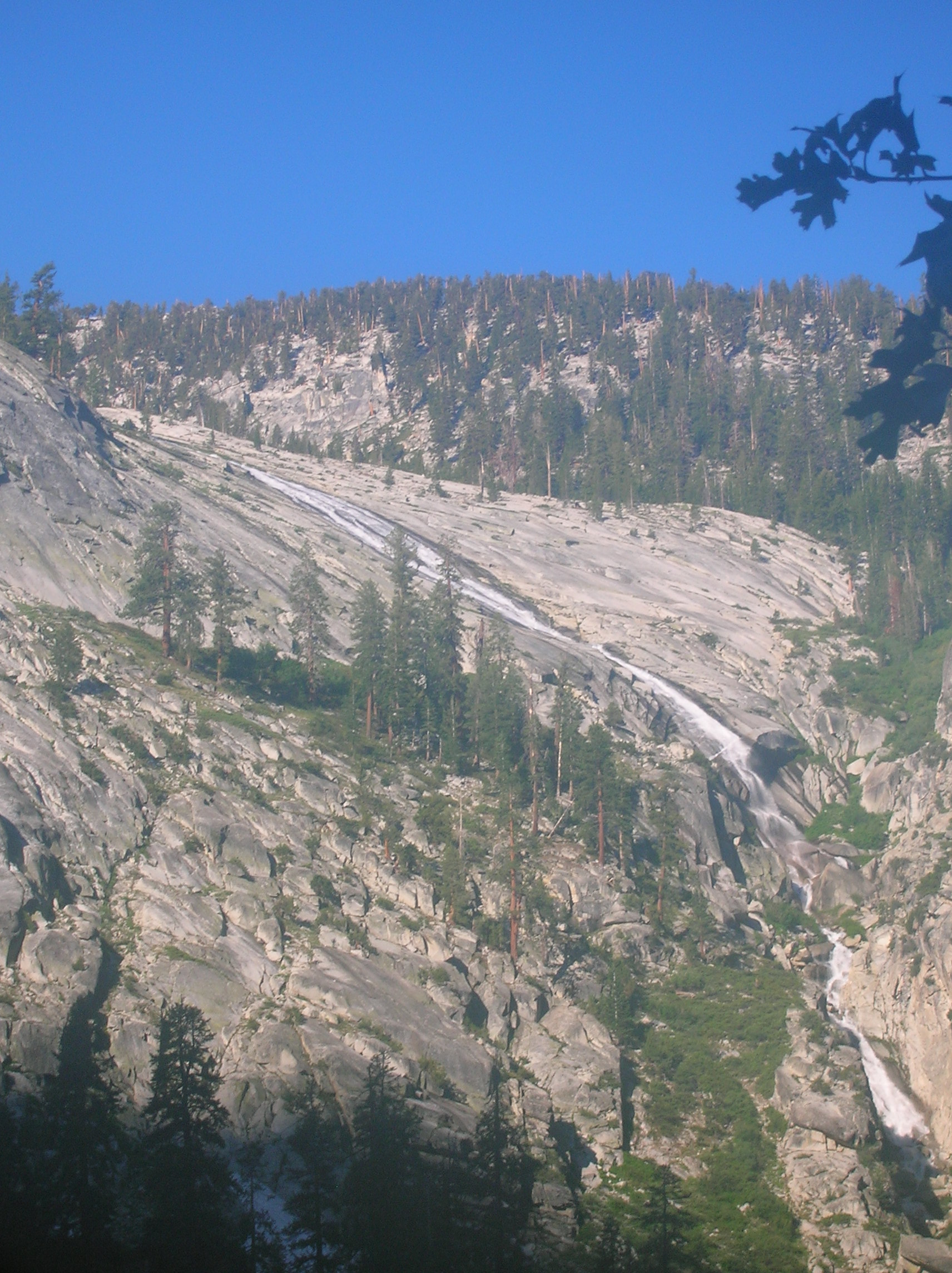
Nice pinnacles as we are now close to camp. Nice mix of terrain somewhere as daylight fades a bit. A sweet waterfall near the camp. Here's a little movie (5MB) of it showing the forces of this water gushing down the gulley. A nice combo falls pic; close wide one and far off straight-down one. There was still so much water from the winter snow that I'm sure there were many rogue falls that usually are never present on the route we took.
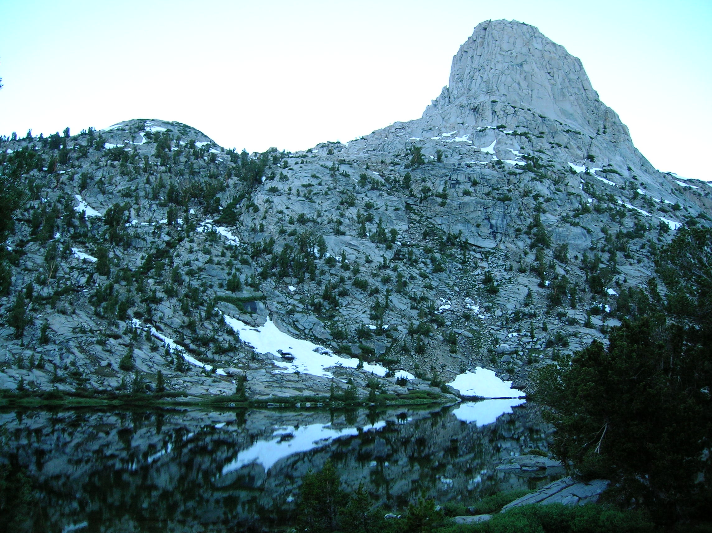
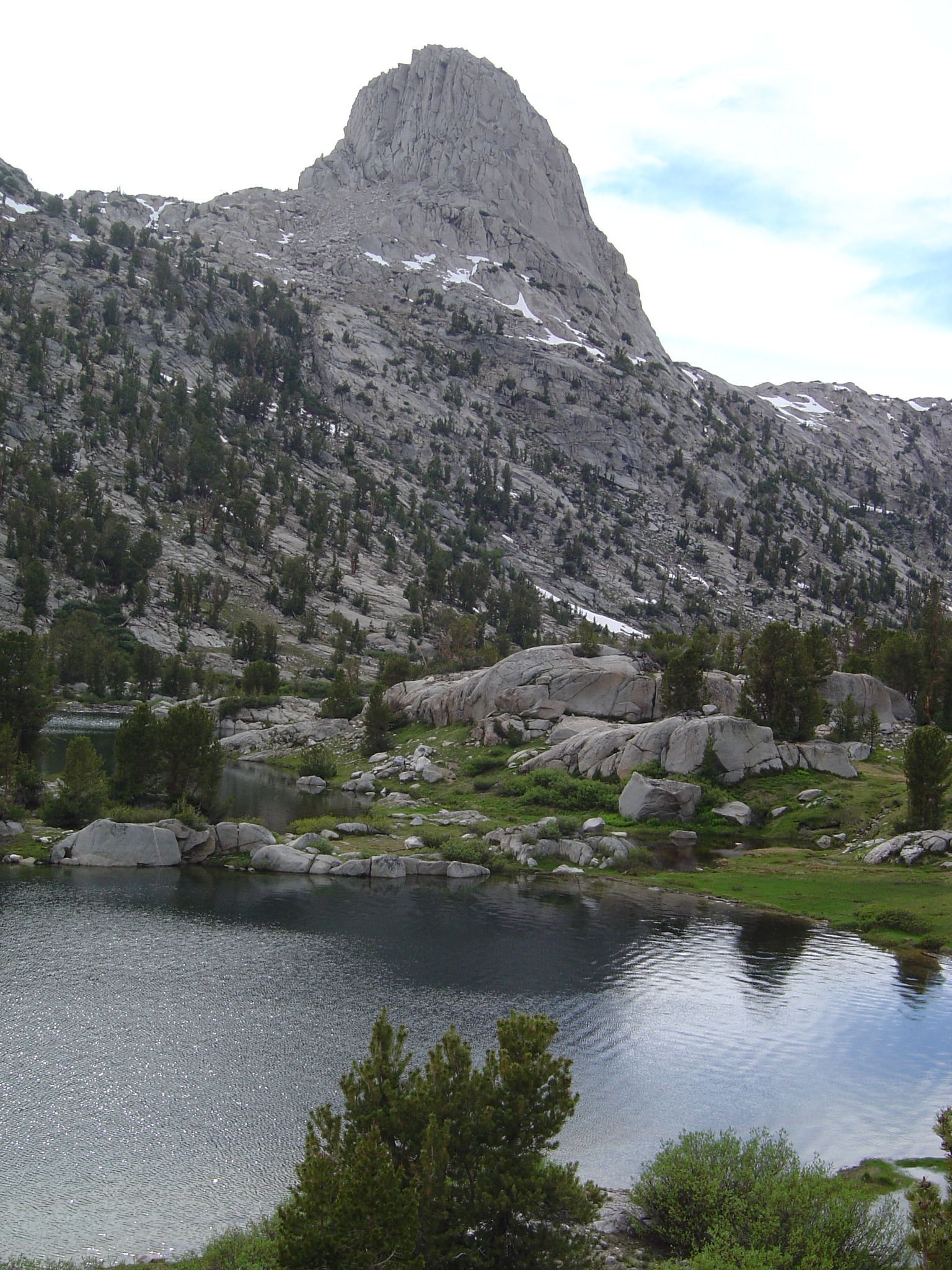
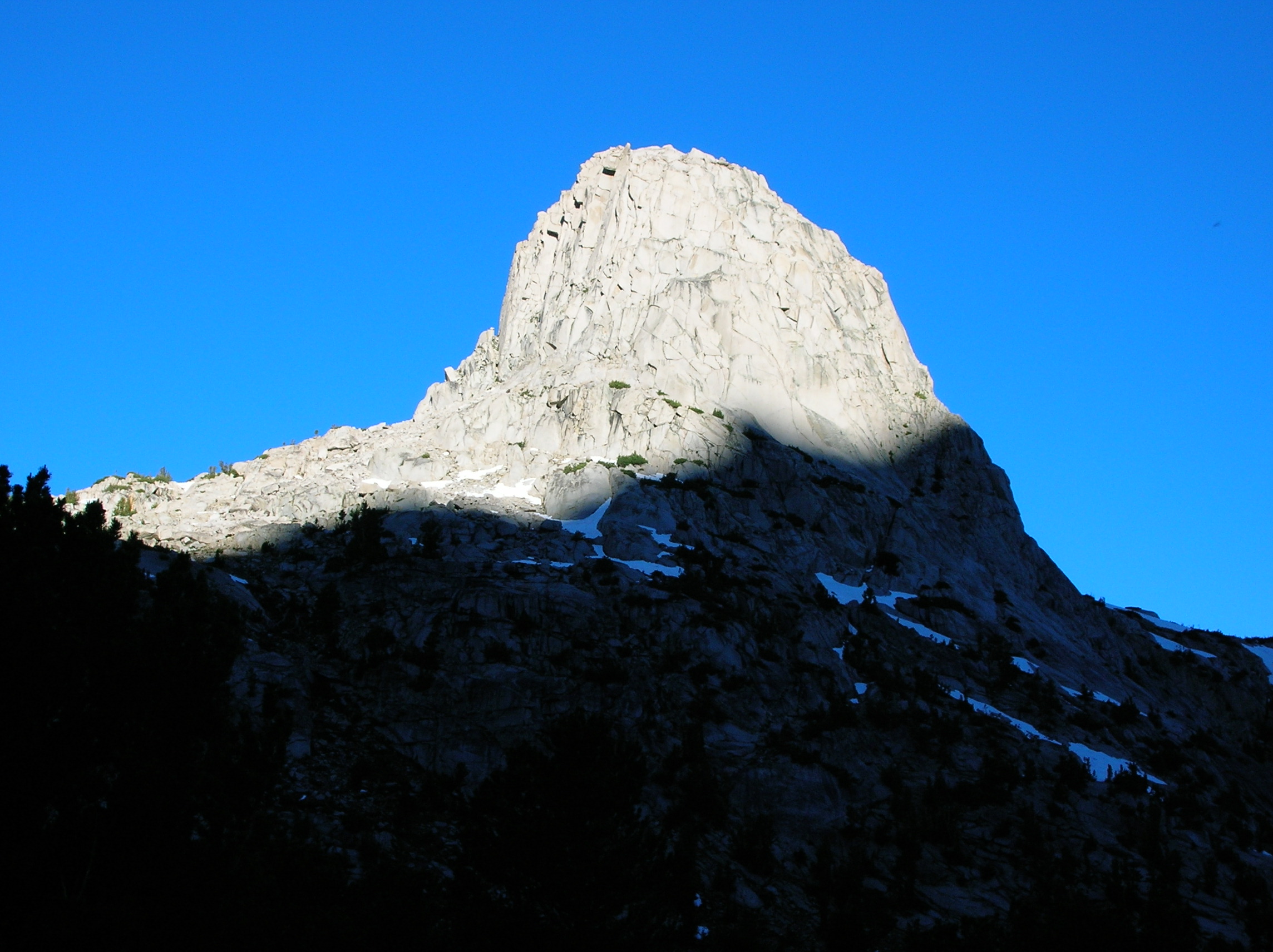
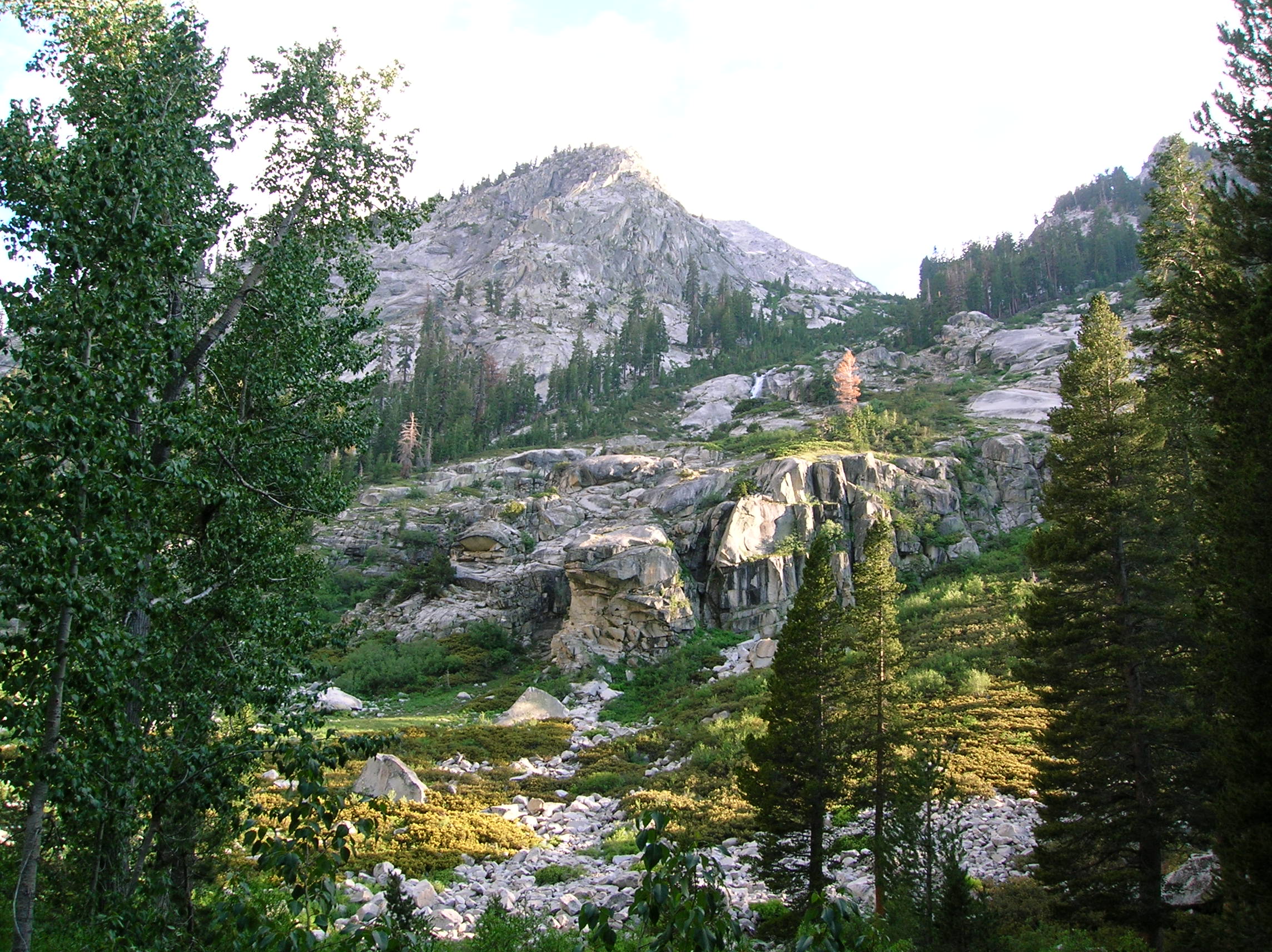
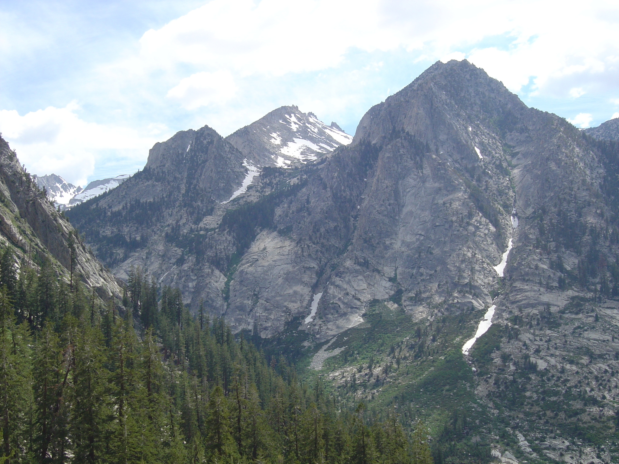
We finally made camp around 5:00 and cleaned our feet in the freezing river. I think I also went fully in since I felt very nasty and it gave me the shivers for a while after I got out. Tony dries his nasty foot off in the tent with his hat. Late day sun lights up the tall rocks towering over the camp site. View in the other direction. Around 7:30, the lighting on the rocks is brilliant. Dusk arrives, but the view is still nice.
Day 5:
The final day to the car. This day was to be about 12 miles, almost
all down. Seriously painful given I could barely walk around camp the last night.
But I was still glad we weren't going up. Me taking
a rest. 2 other views
from this spot. Nice long sliding of water
down some rocks. In this valley shot, we can
almost see down to our final destination point.
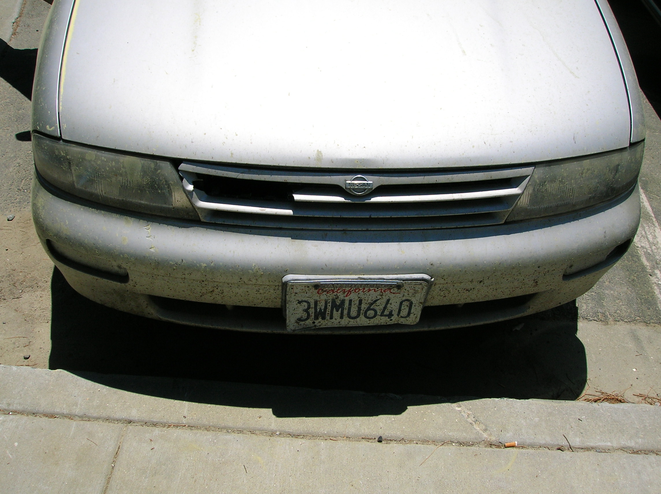
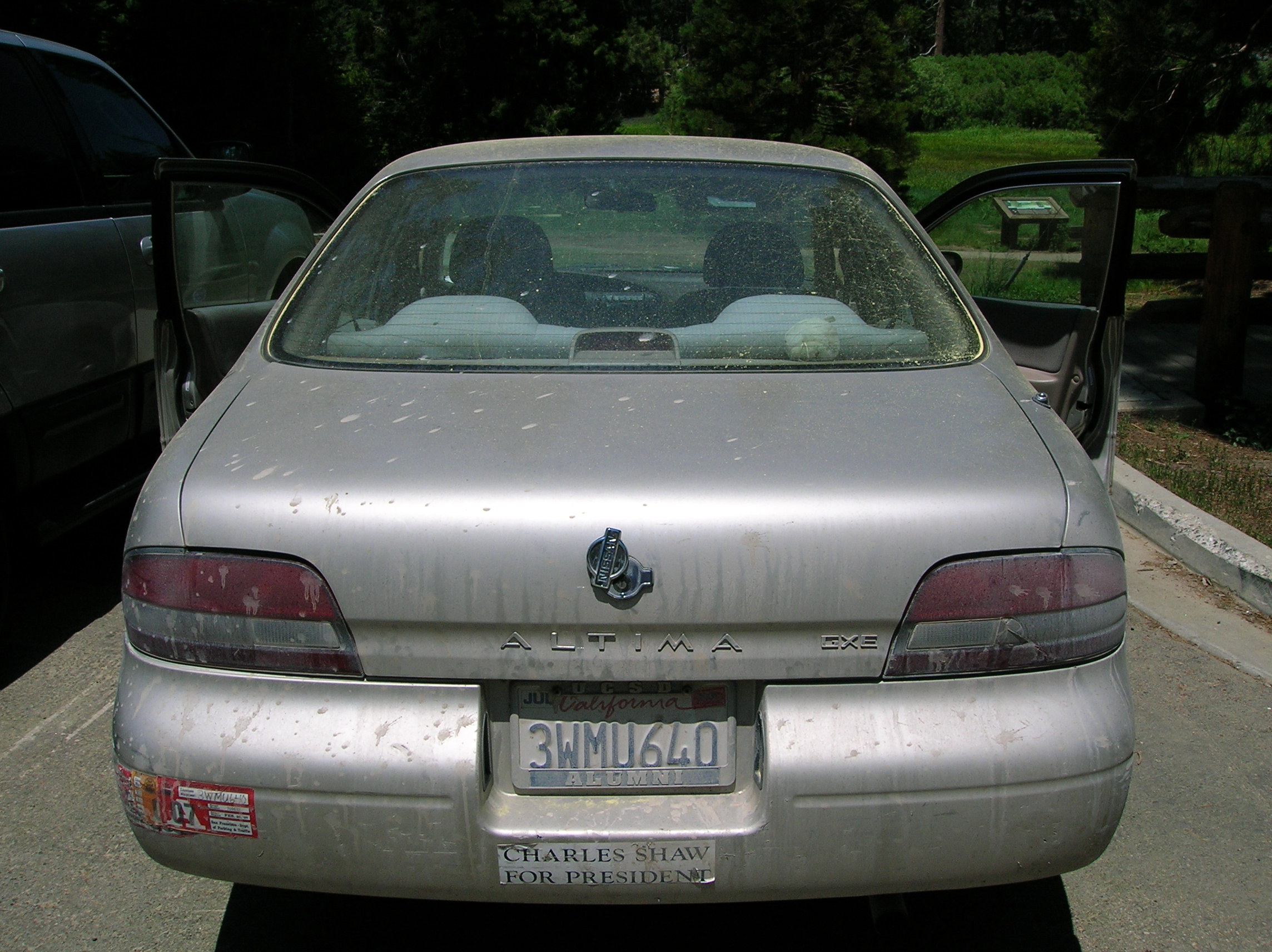
I had left my car back up at the park entrance under a tree and it was already seriously scummy from my NW Trek and now had added 5 days of pollen on it. Front, Back. I got a carwash the next weekend and the washers seemed geniunely impressed with the level of filth I had saved up for them to clean.
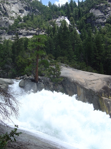
Mist Falls

Woods Creek

Dollar Lake
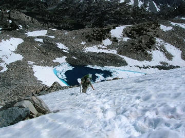
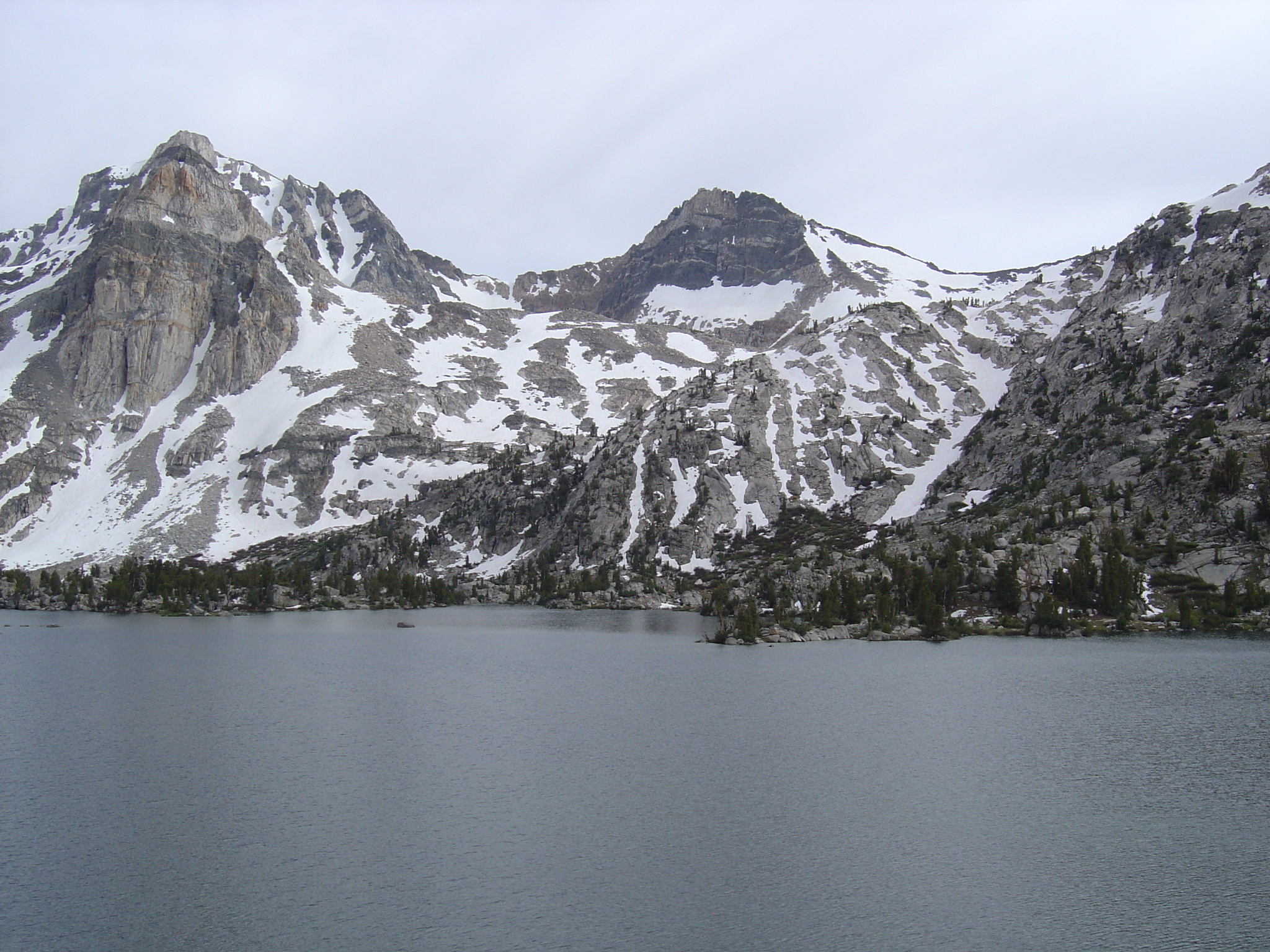
Tony Climbs Glen Pass