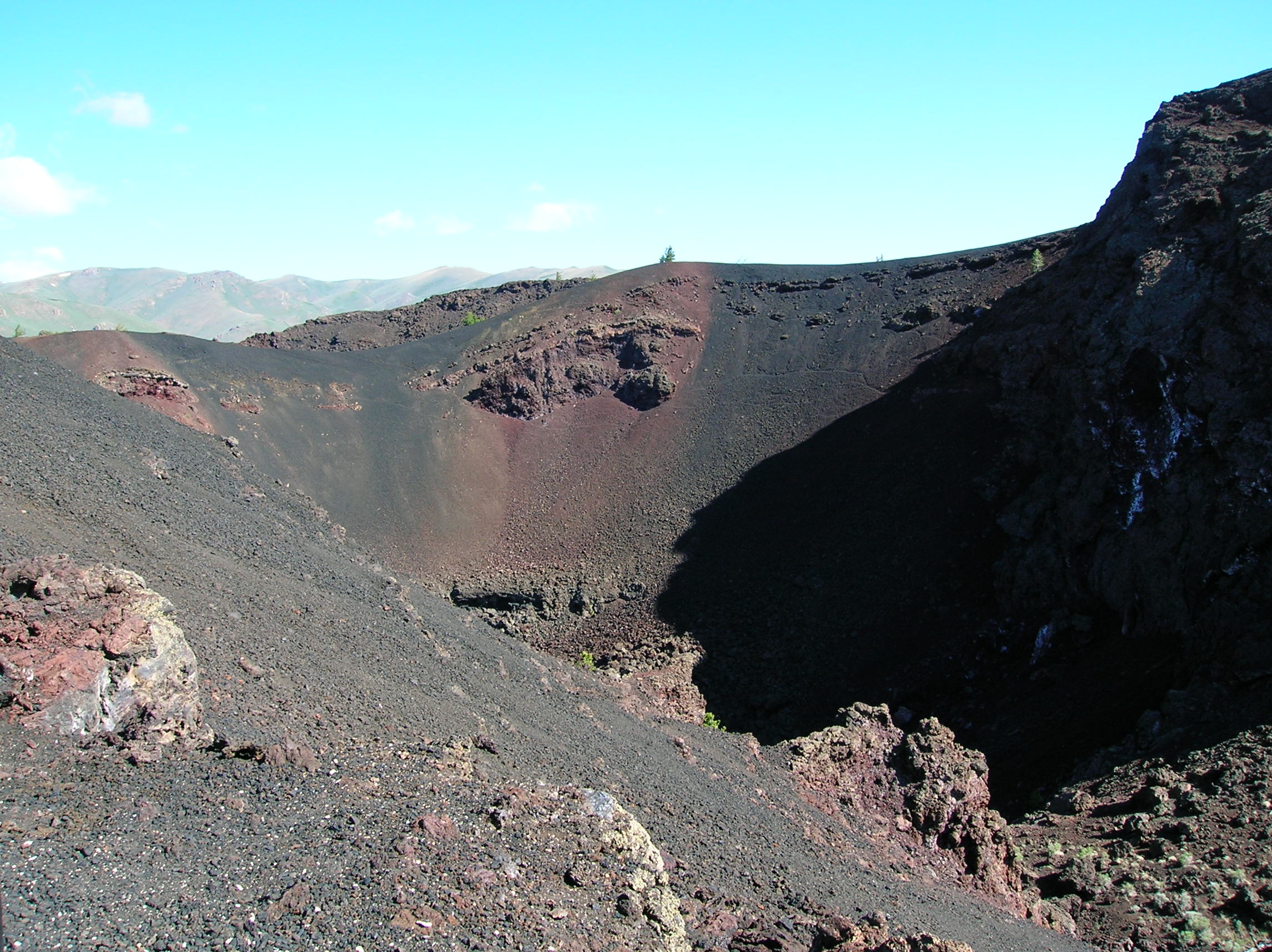
Introduction
This trip, I wasn't going to work myself as hard as the previous Mega Trip. I wanted to be able to relax a little more this time, and for the most part I did in that I did not have too many days with crazy hikes followed by crazy drives. I spent more days in one place and really didn't have too much driving until the last 2 days which were substantial. I also did not plan out my activities as intricately as the previous trip so as to be a little
more flexible as to what I decided to do each day, though I still had an itinerary that I wanted to stick to. I couldn't be totally free since I was going to end up very far from home in the last days before having to be back at work, but I still didn't feel as pressured as I was the other trip when I had all my hikes and activities planned out ahead of time. I also vowed to not do too much dirt road action that nearly killed my car the last trip.
Download my two weeks of audio commentary (35MB)
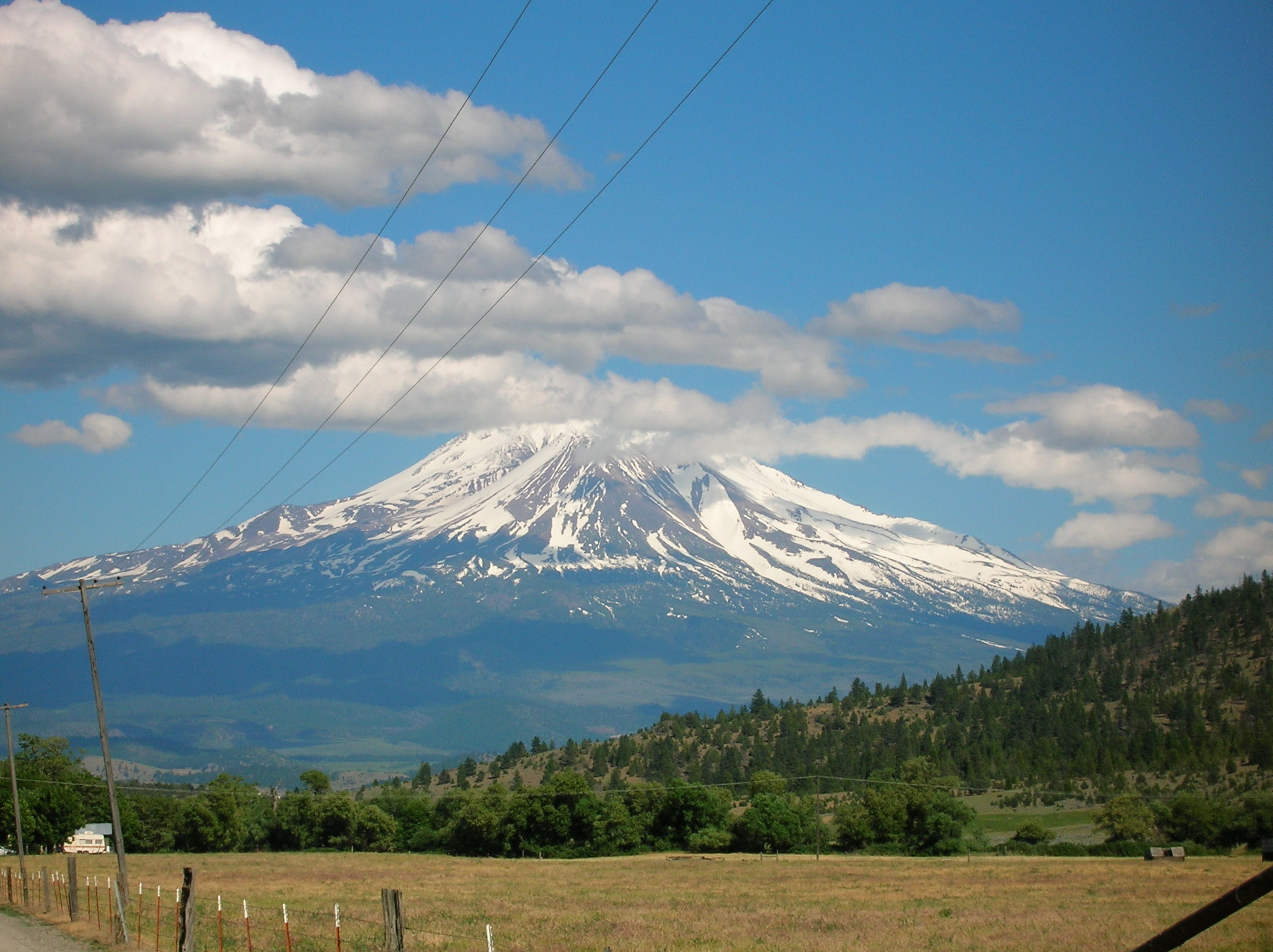
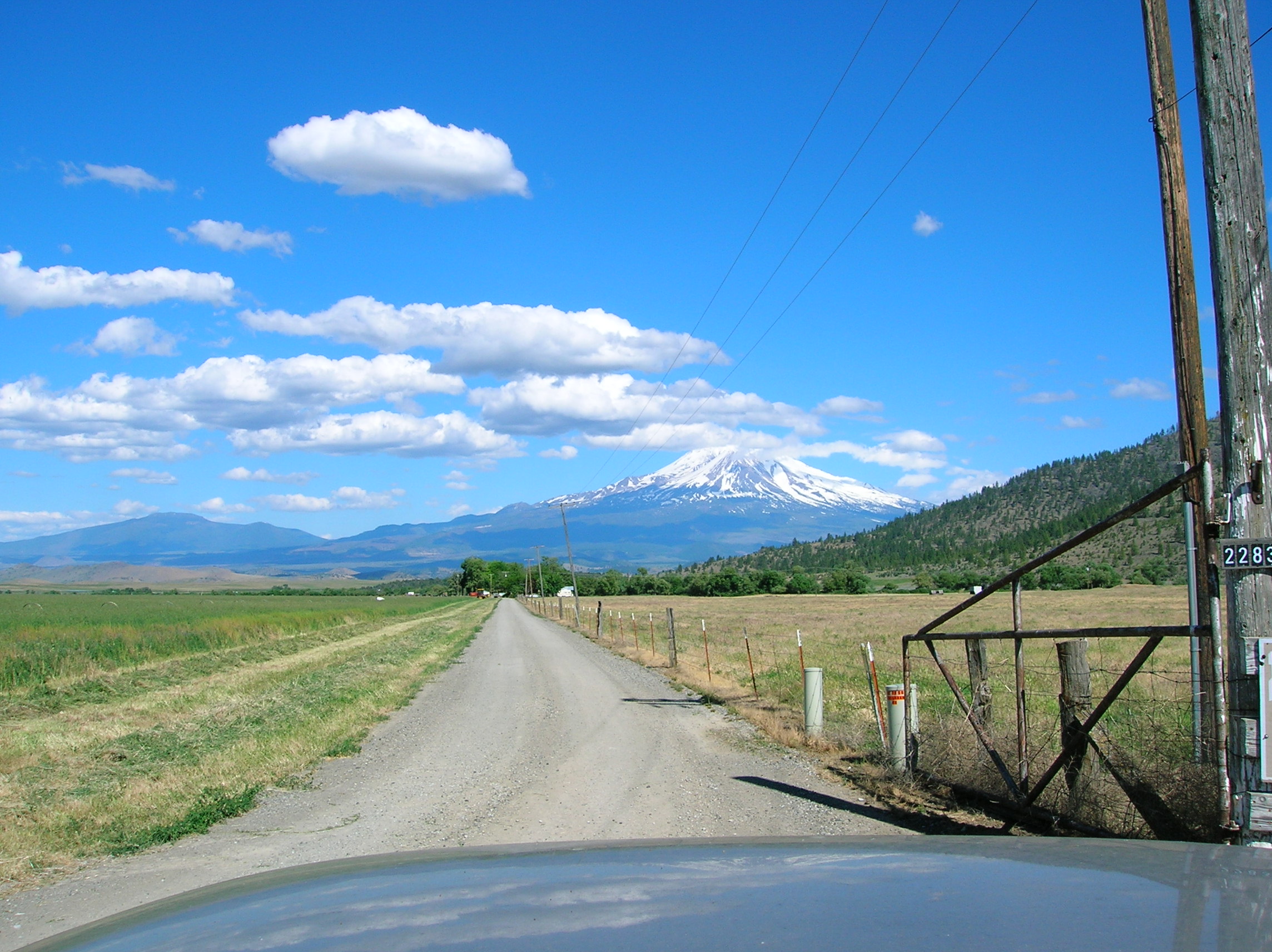
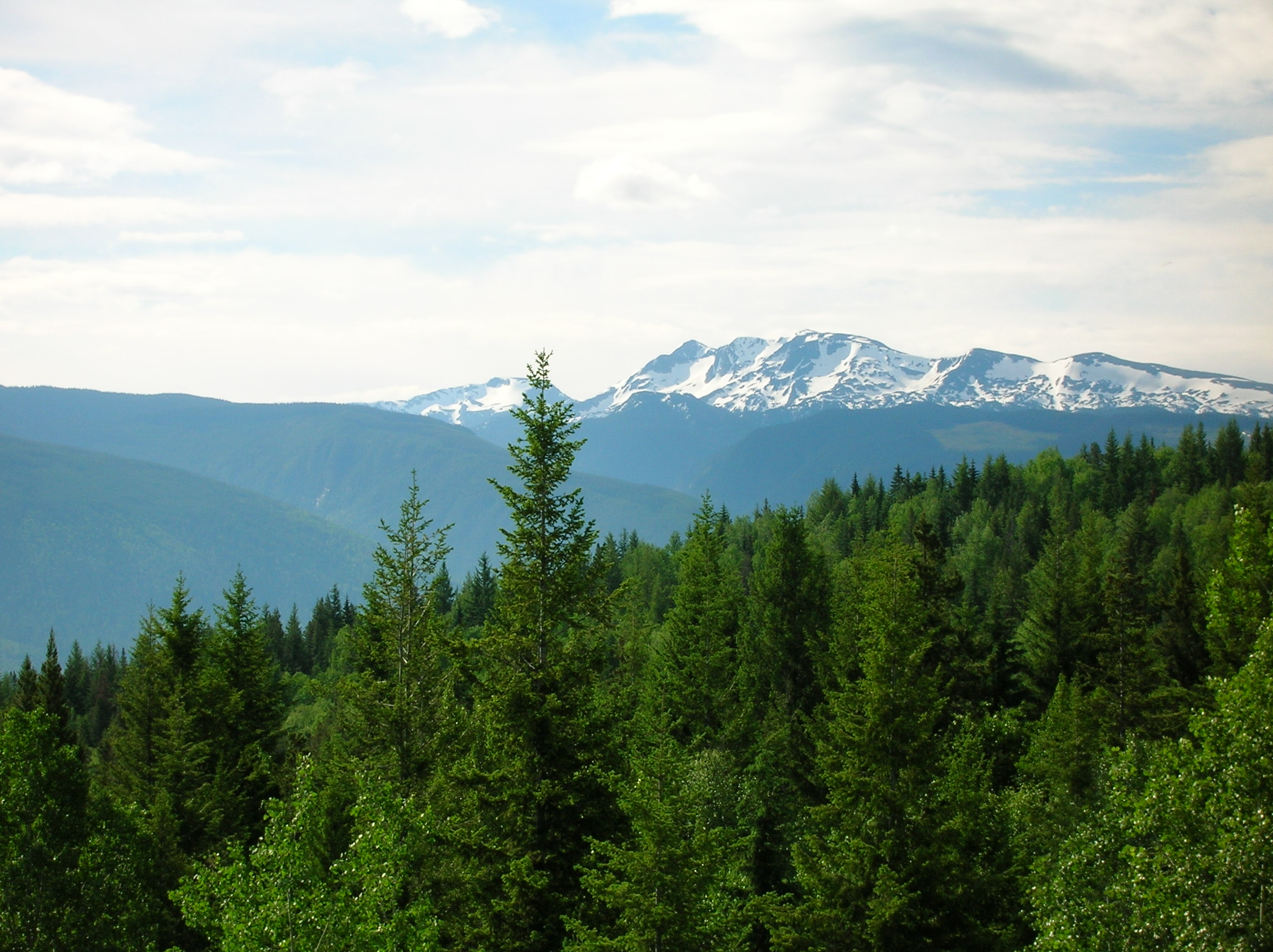
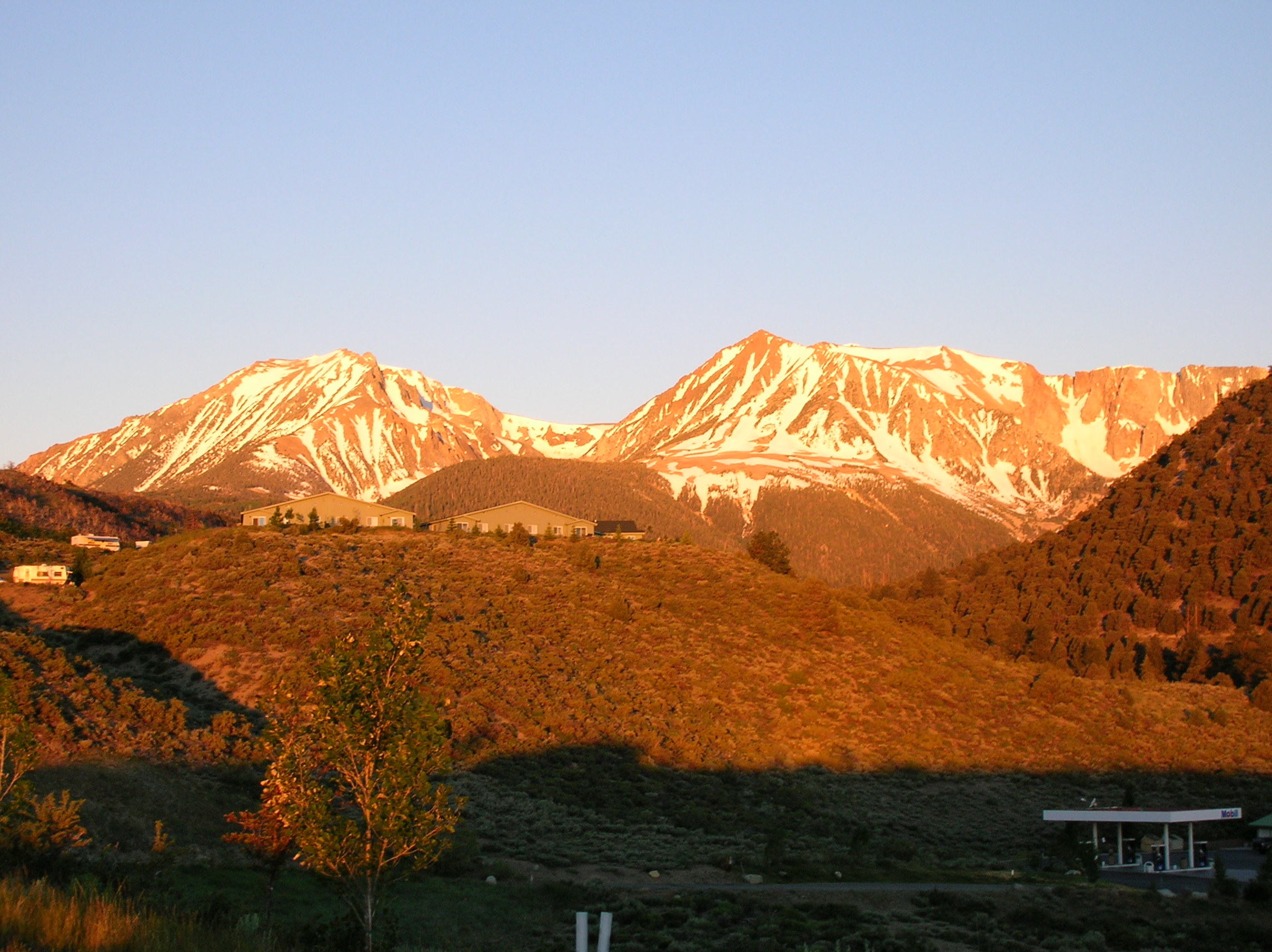
Mt. Shasta after coming down through Trinity Alps
Day 1: Drive to Trinity Alps
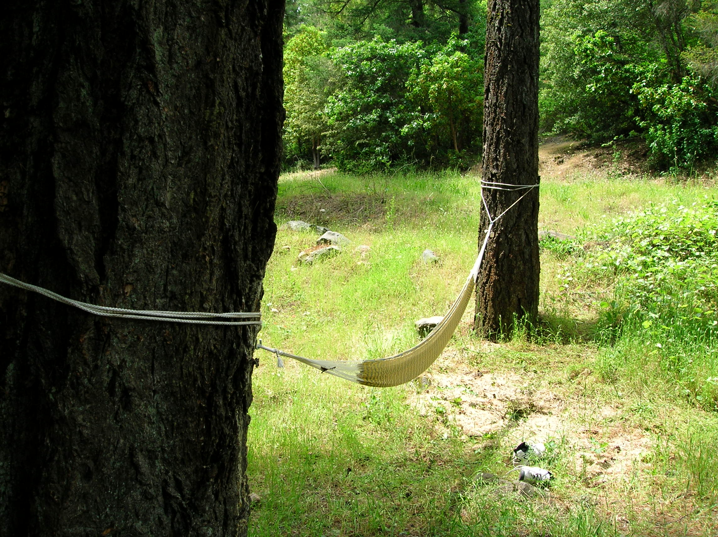
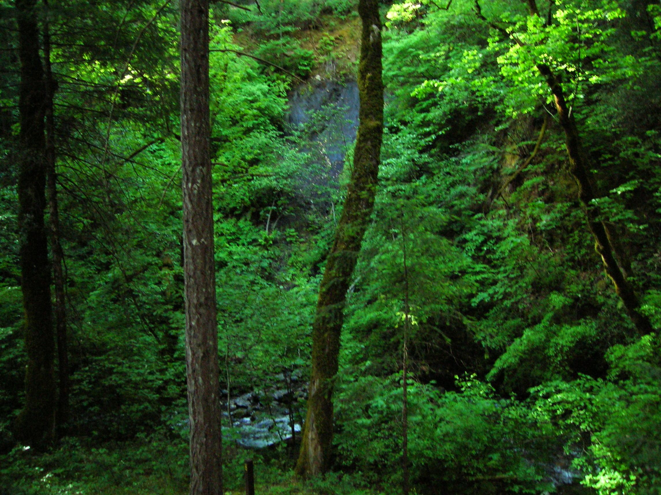
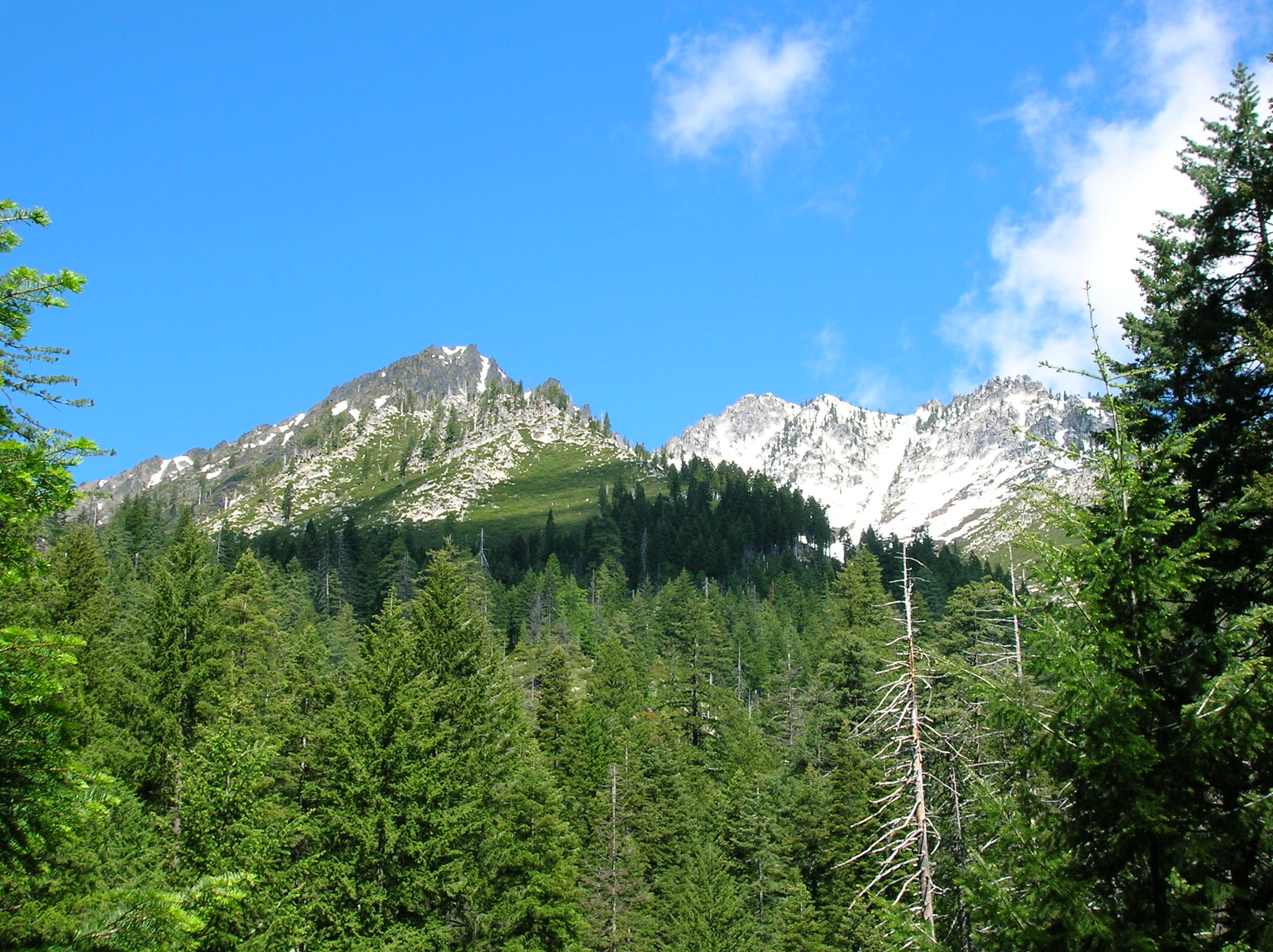
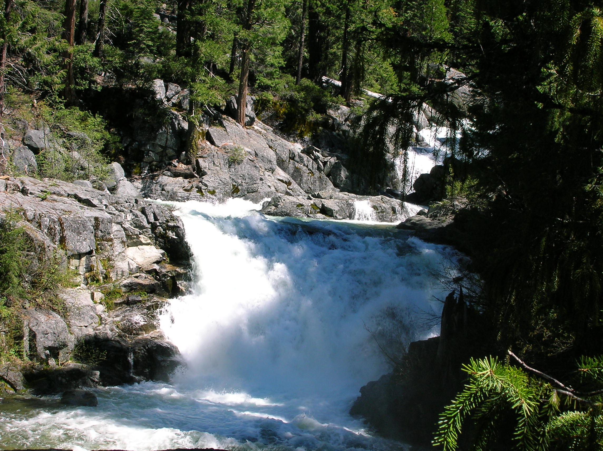
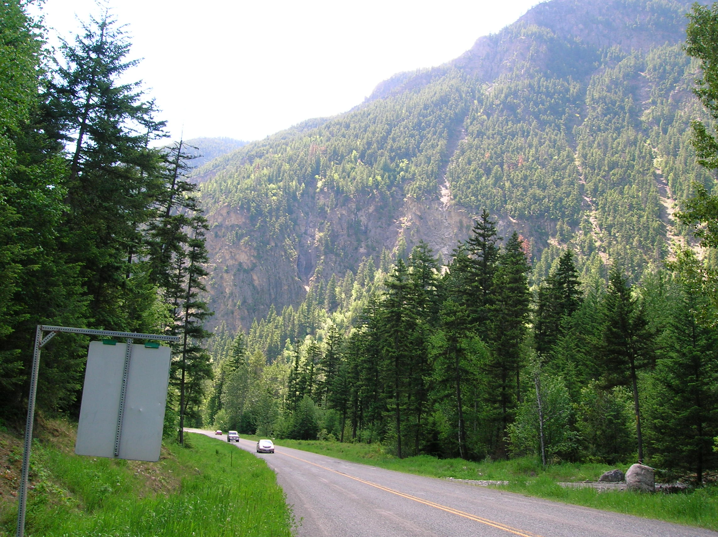
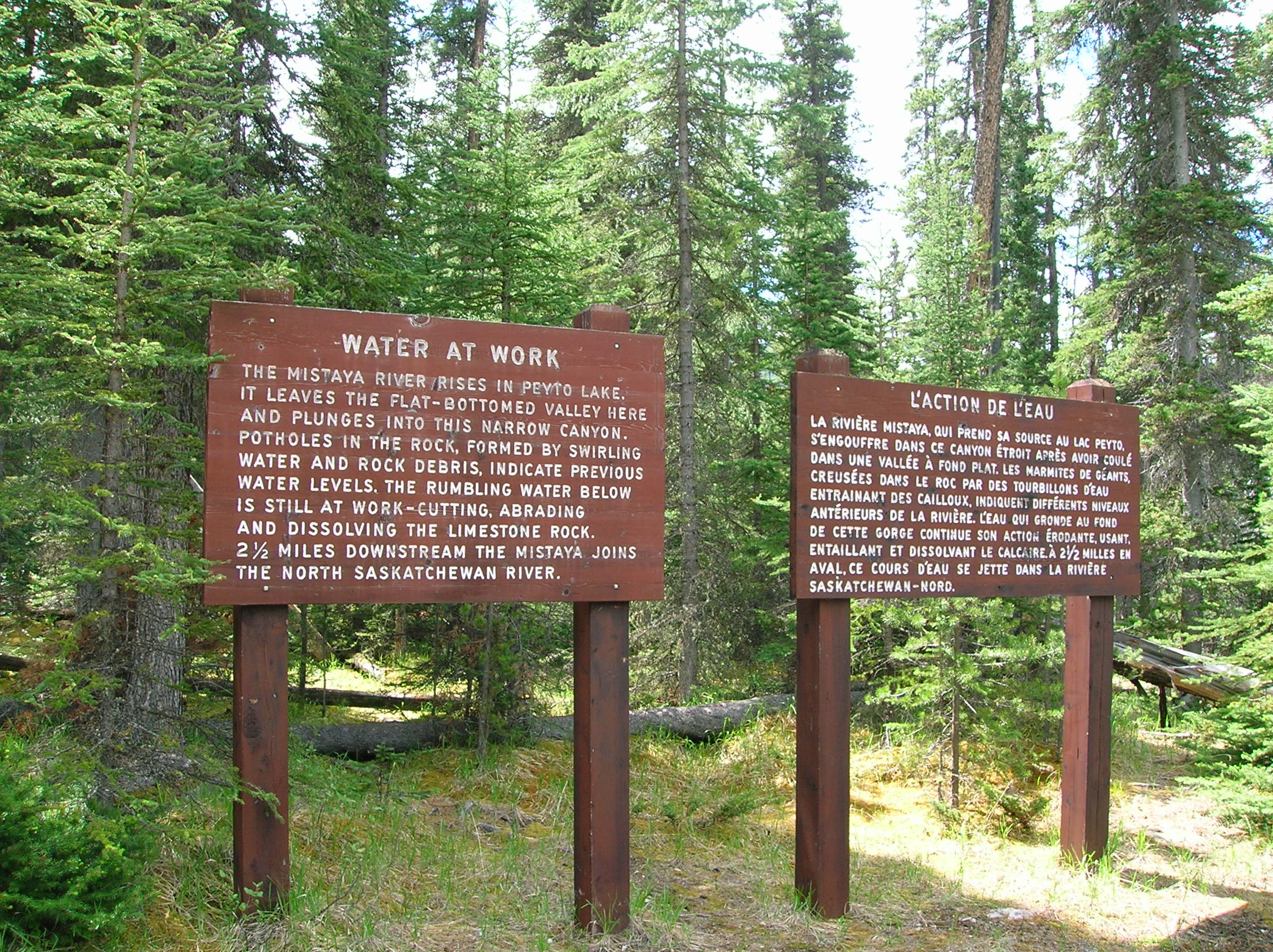
I left the San Francisco Safeway around 8am heading up to the Trinity Alps national forest, east of Redding. This is another part of the far northern part of the state I had never been to and so I figured it was as good as any place to check out and relax on a first day of camping and then sure to have some good hike to do the next day. My first picture of the trip was the impressive sighting of Mt. Shasta as seen while driving up 5. There is so much flatness to be seen, that the jutting out of this enormous mountain really took my by surprise. As much as it may seem, that is not a low cloud, it's snow from the previous winter which dumped late in the season. I was heading to the Big Bar area of the Trinity Alps, which consists of different districts. I unfortunately took a wrong turn that probably cost me about 45 minutes and a gallon of gas, but I finally made it to a nice secluded primitive camp site off the main road with no ability for RVs. There were a couple of scary looking guys near me that I think were coming down off a 2-day speed fest and they frightened me a little, but I figured the dents and dirtiness of my car lead them to believe I didn't have anything of value. I made sure to leave my suitcase with $600 in vacation cash in the trunk locked. I had a nice lunch around 2pm of turkey sandwich and some grapes. I then basically spent the day enjoying a nice rest and reading my businessweek and Steven King book in the hammock I brought complete with rope and S-rings. Just the fact that I got this thing to work the first day was a good sign. The thought of being off work for 2 weeks, this peaceful spot in nature, the sound of water in the creek nearby, relaxing in a hammock with a book and drinking gin while using the gin bottle as a pillow put me in the best of moods. My drunk, hopped-up, occasionally-yelling, smoking, and tattooed neighbors asked if I could drive them to the little general store (they had no car, but had been dropped off by a sister) for some cigarettes which I agreed after I had rested off my liquor a bit but the store was closed. I decided not to bother with a stove this trip and had some Campbell's "Hold the Beans" chili cold. It was terrible. And I had 3 more cans to suffer though for the trip. I don't know if the coldness was the factor, or if it was the brand. I will have to test out Hormel cold to see.
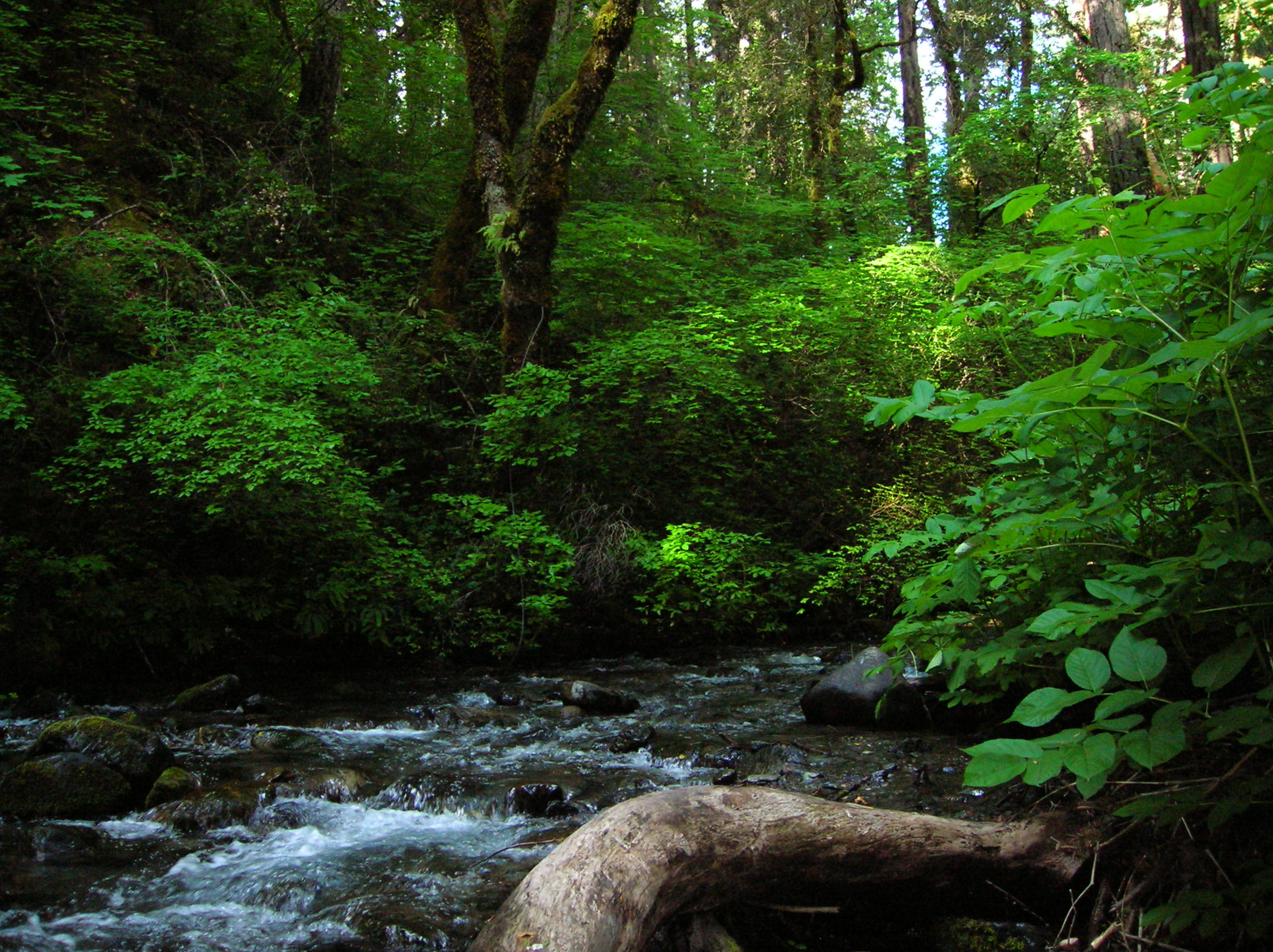
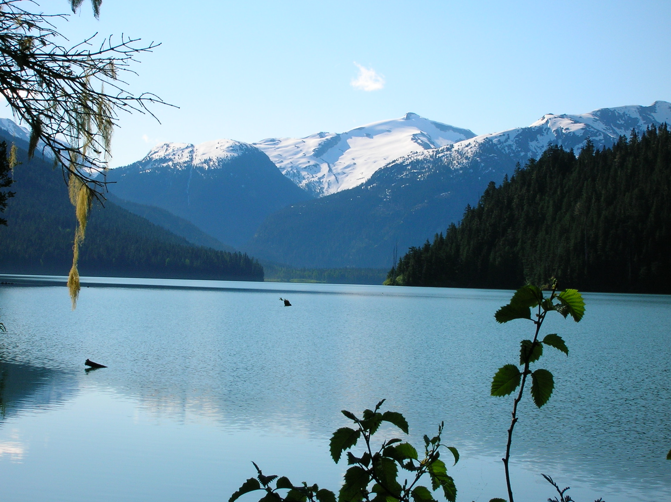
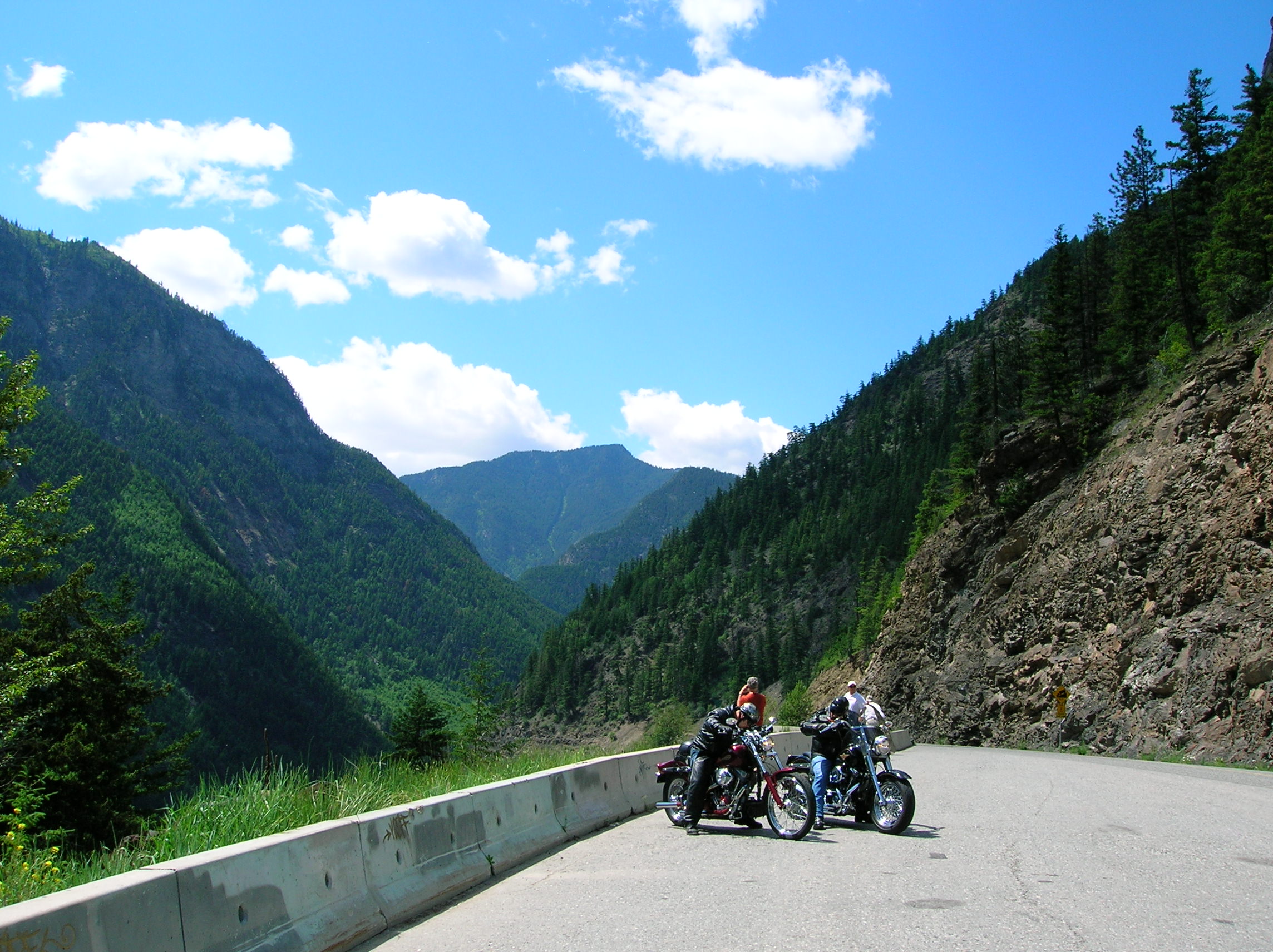
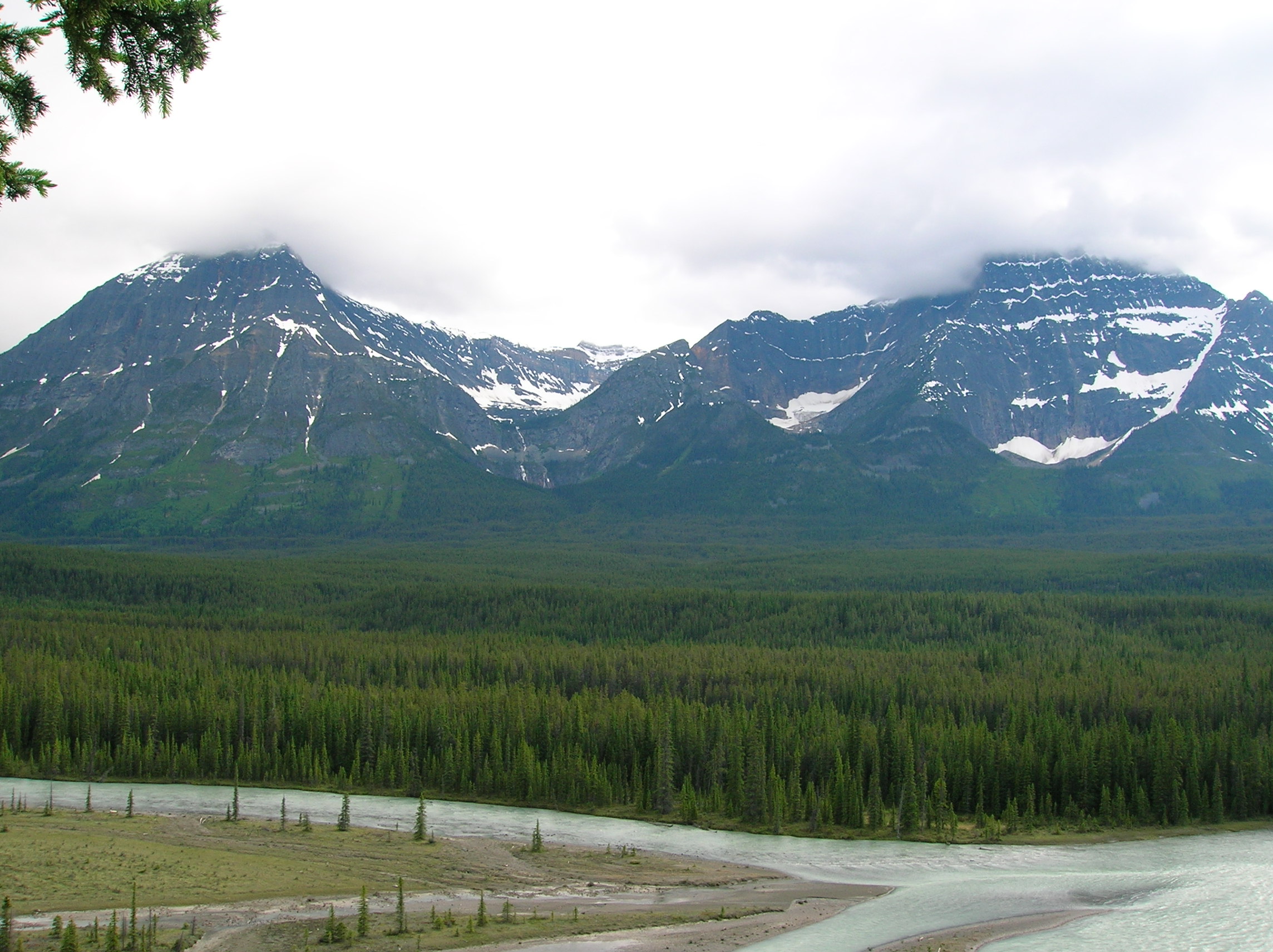
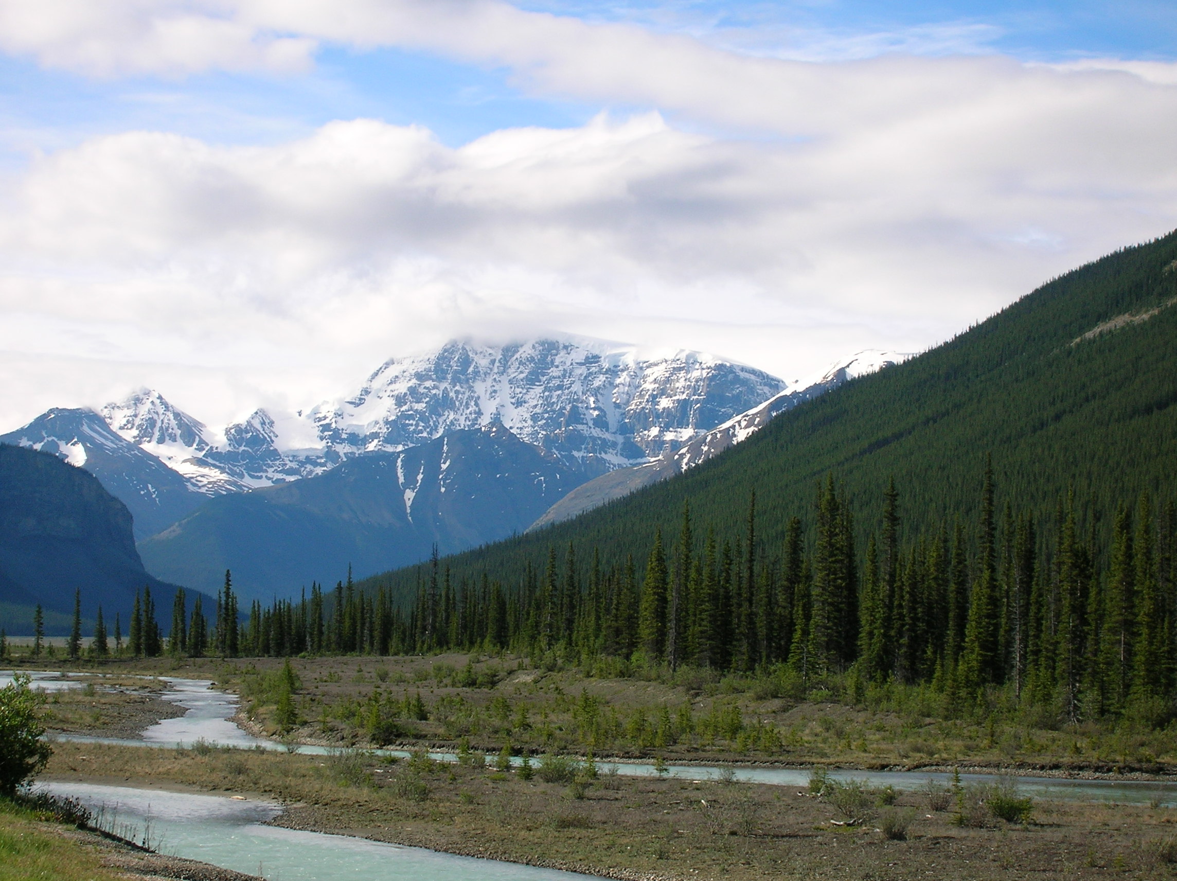
Big Bar Camp Site
Day 2: Trinity Hike/Drive to Portland
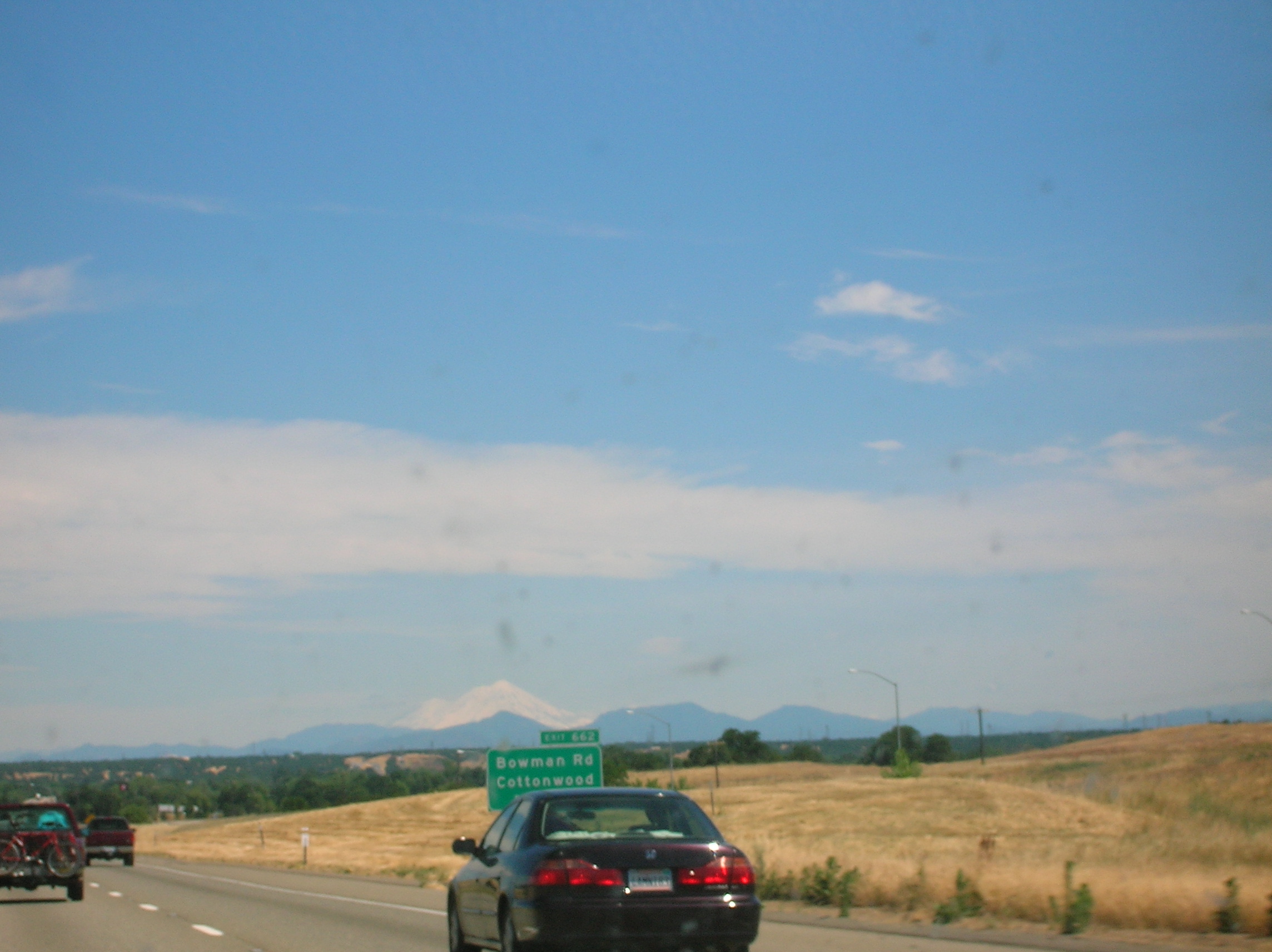
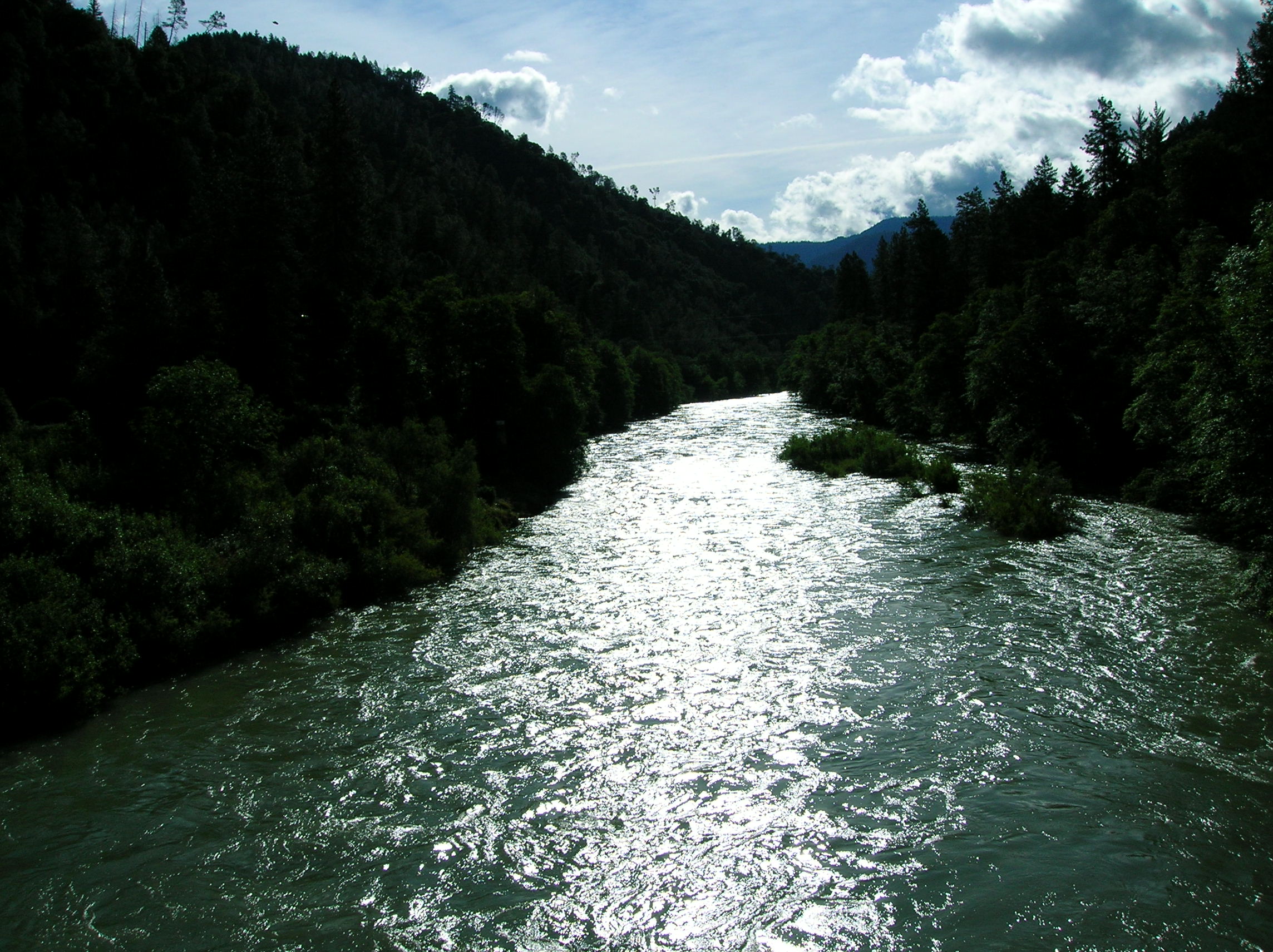
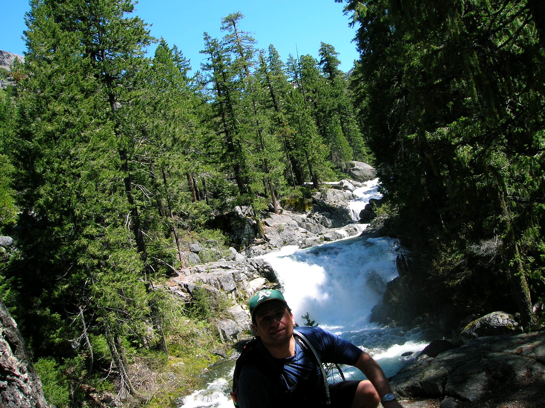
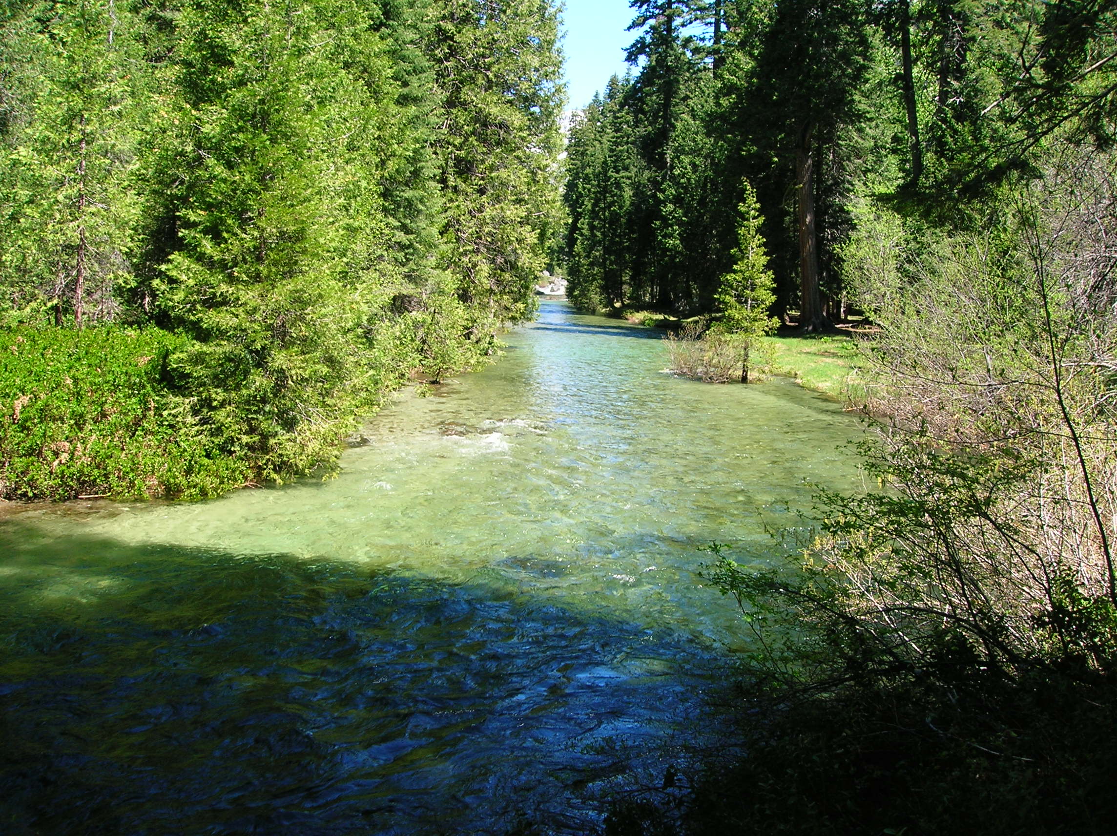
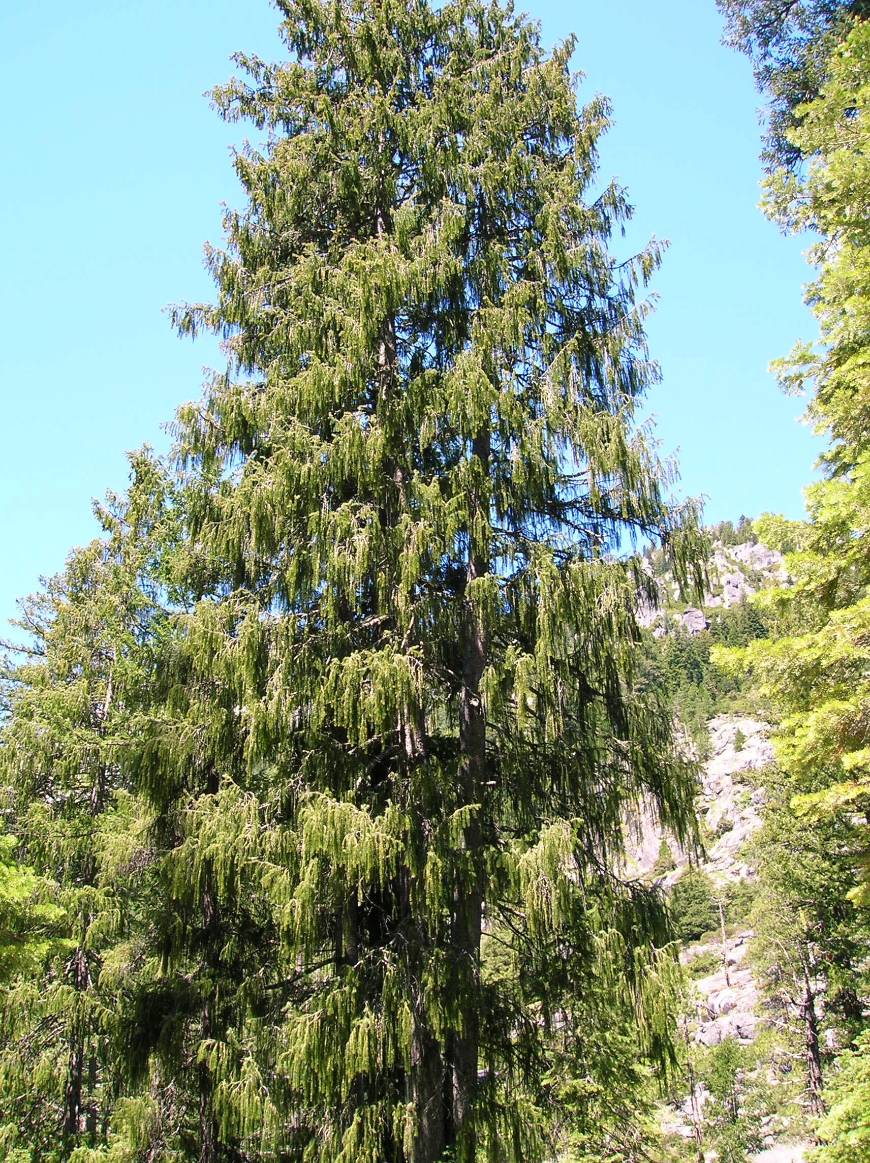
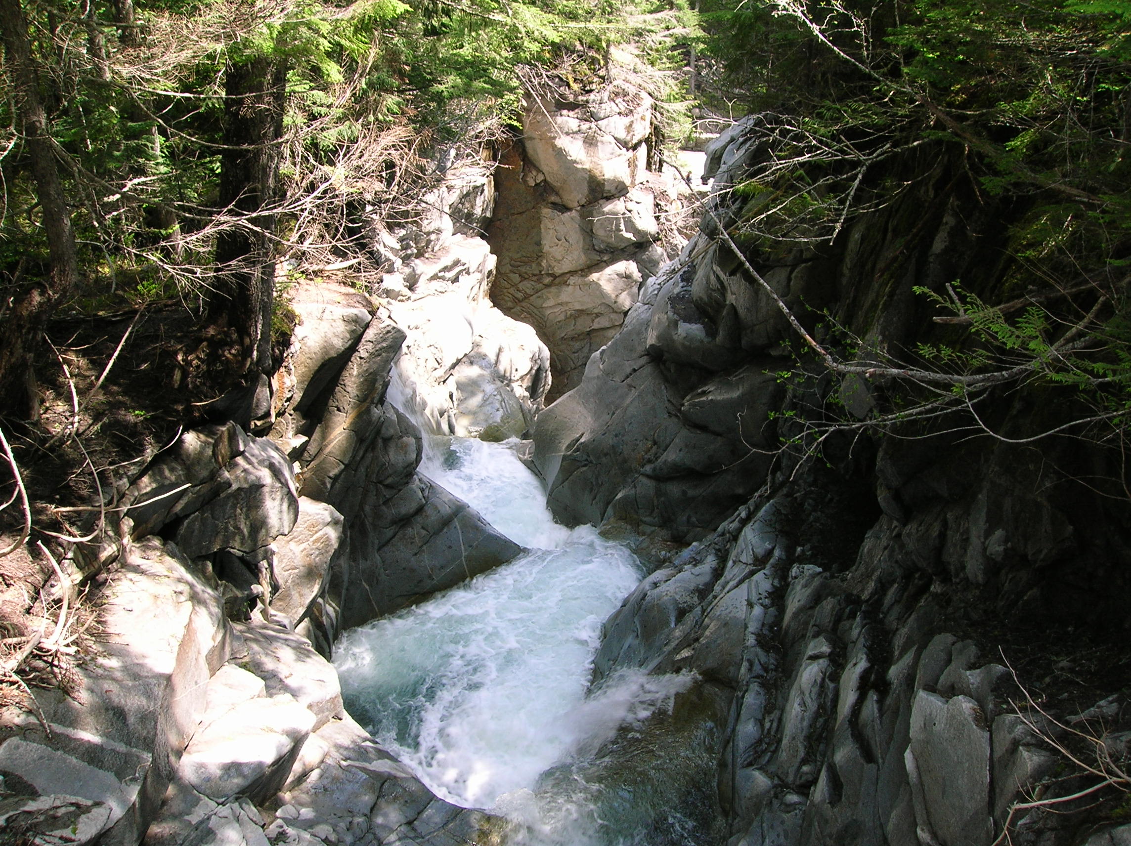
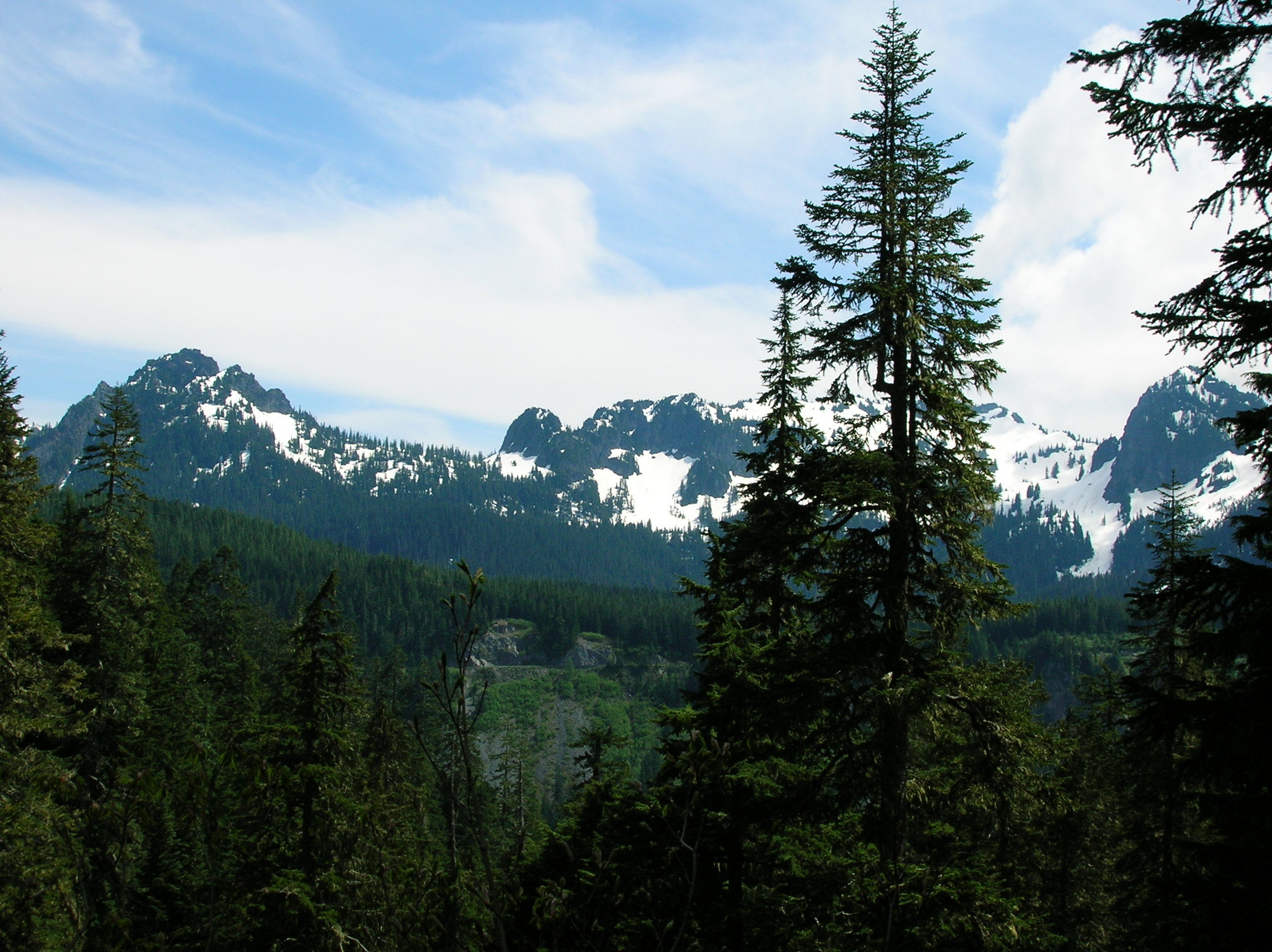
Woke up fairly early as I wanted to get a good hike in and be done before the long drive up to Portland. Here's a north and south view of the Klamath river from a bridge I crossed right near the campground that lead to the main road. The river was really running fast and muddy, bad for fishing I heard from the meth-heads at my camp. I had spoken to a guy at the Forest Service and based on the direction I was going, decided to this Creek Falls hike which was down some forest service road left of Junction City. It took me about 45 minutes to get to the trailhead, as the road was windy, but thankfully it was paved the whole way. I was seriously impressed that there was a road this deep into the forest and was pretty surprised to find a huge parking lot at the end. Not very many cars as it was still kind of early in the season and there was still snow on the trail which prevented you from making serious mileage, but I was fine with this since I had limited time. Here's a look from the beginning of the trail. The views out here were not spectacular, but it was the perfect temperature and very peaceful with few people around and it was a good warmup for the trip. As I ascended, I could see that the snow coverage up high was still significant. This looks like it would have been cool to ski down about a month ago. Just a good basic forested wall of rock. Nice waterfall and a closeup of it. Here I am in front of it as I didn't quite get the level spot for the self-timer I thought I did. Past the falls, this nice calm river. Not too much further past this point, the trail suddenly became snowed it. It was amazing because I didn't see any at all and then it was there and the trail was gone and I was not in the mood for snow hiking, so headed back down. There were these interesting trees that almost seemed like a cross between weeping willow and pine. Another snowy look up the mountain. Heading back down the trail. Got to my car and was going to have lunch in the parking lot, but some sad woman was smoking right near me so I drove down the road a bit, found a shady turnout and set up the cooler and chair and had a lunch of turkey sandwich and some chips and Trader Joe's Guacamole with some grapes for dessert. It was very pleasant. Also, changed clothes and washed up a bit so I could be a little less scummy for the drive. The drive to Portland was pretty cool, taking some serious back roads past farms and up passes and by plaque proclaiming this was some wagon route or something and until I hooked back up to 5. Great view of Mt. Shasta from one of these little roads. And that's the last of the pictures for the day. Hit 5, crossed into Oregon. Stopped in the Seven Feather Indian Reservation since I had to use the bathroom and felt like washing my face. It was right off 5 and though I had vowed to never gamble at another Indian Reservation, I was in the mood and proceeded to lose $50 in about 4 minutes. But it didn't bother me too much since my spirits were up. This casino also had a nice feature with a no-smoking section for gambling with consisted of slot machines inside a glass doored room, sort of the opposite of the smoking glass jails you see in the Vegas airport, but in a casino, it's the non-smokers who suffer the stigma of being segregated in a room by themselves. Rest of the drive was uneventful, though fairly long. Somewhat scenic and it was light a lot of the way. Got to Josh's house about 11pm and we headed, as per tradition, to Union Jacks where we met Jeremy and some others for $2 Pabst and tattooed skinny strippers. There was no one in there, but I think we seasoned the room because it got packed about 15 minutes after. Finished off with a few shots of Trader Joe's Blended Scotch and went to bed. A nice day.
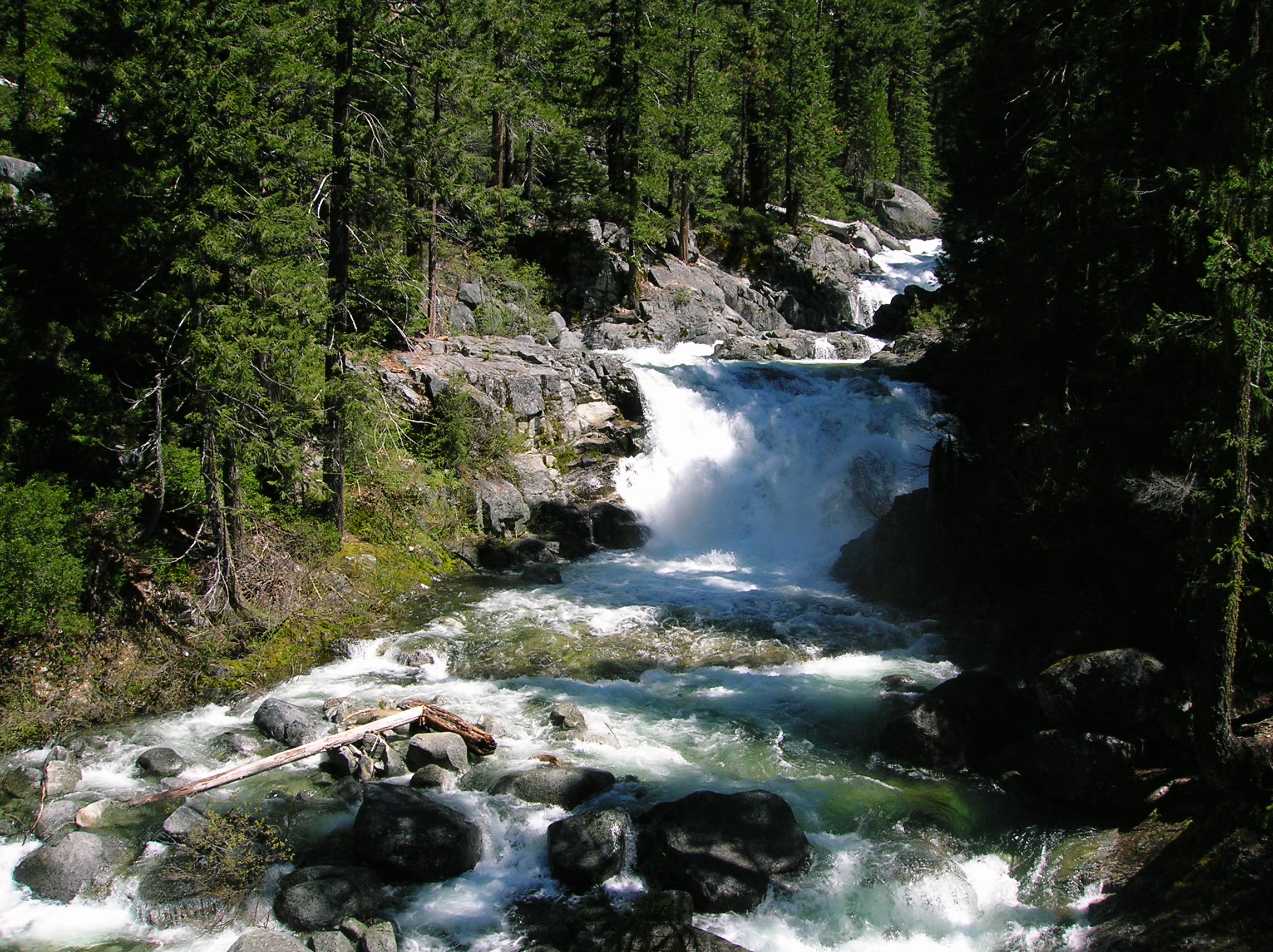
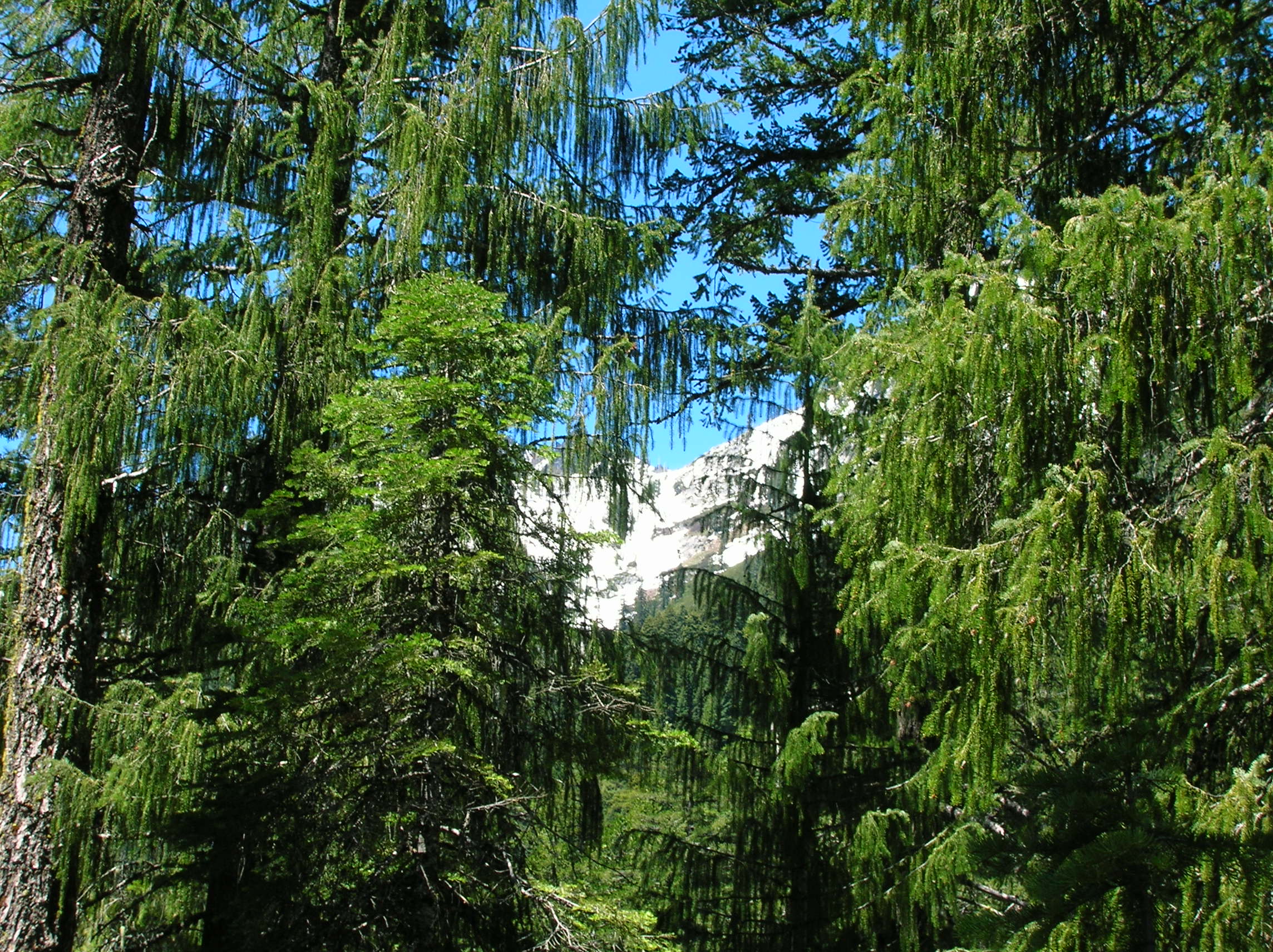
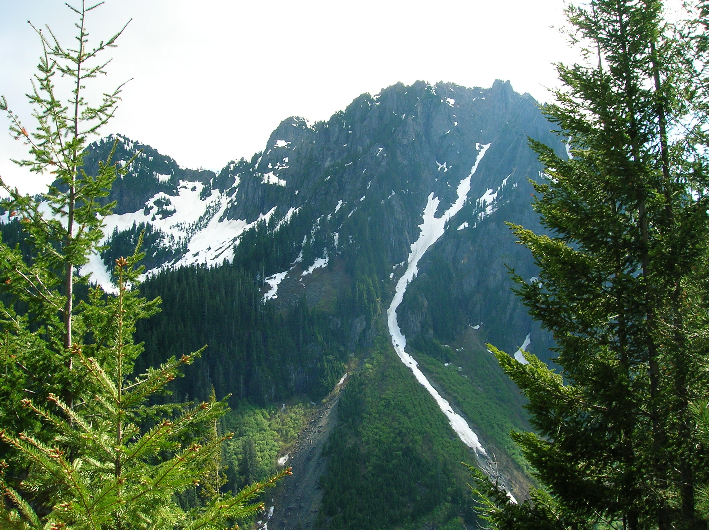
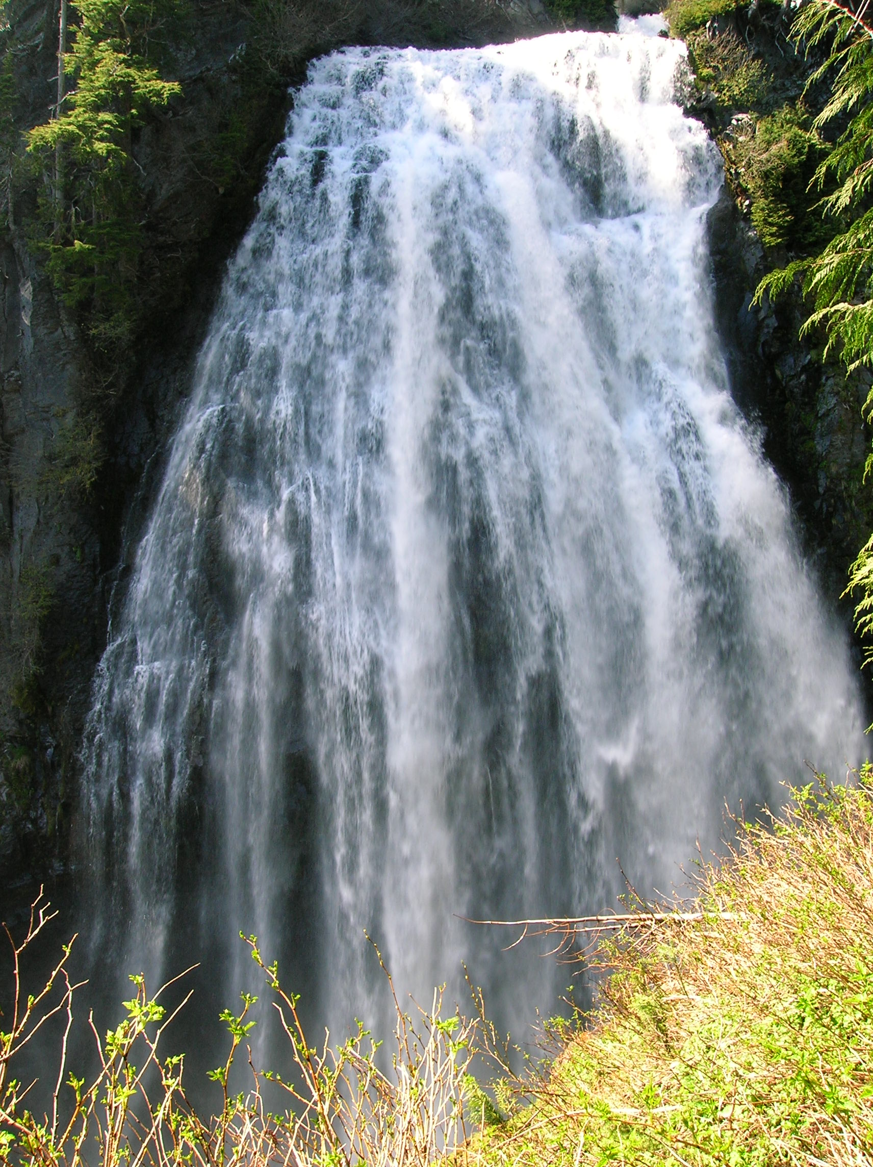
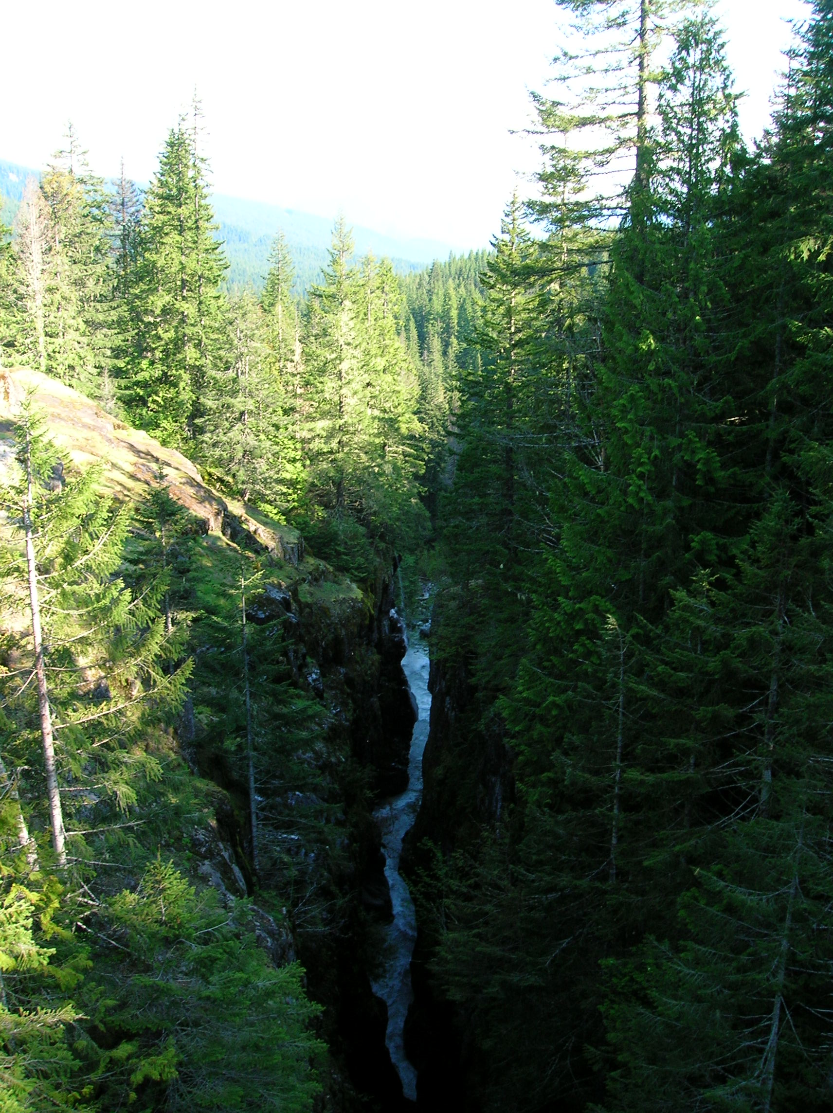
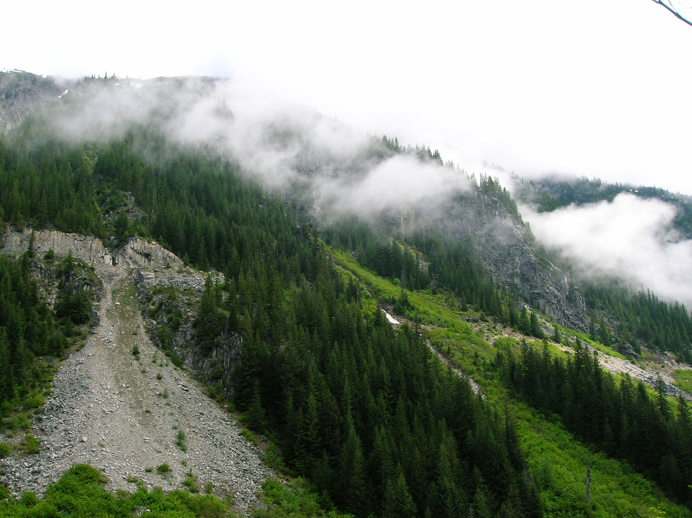
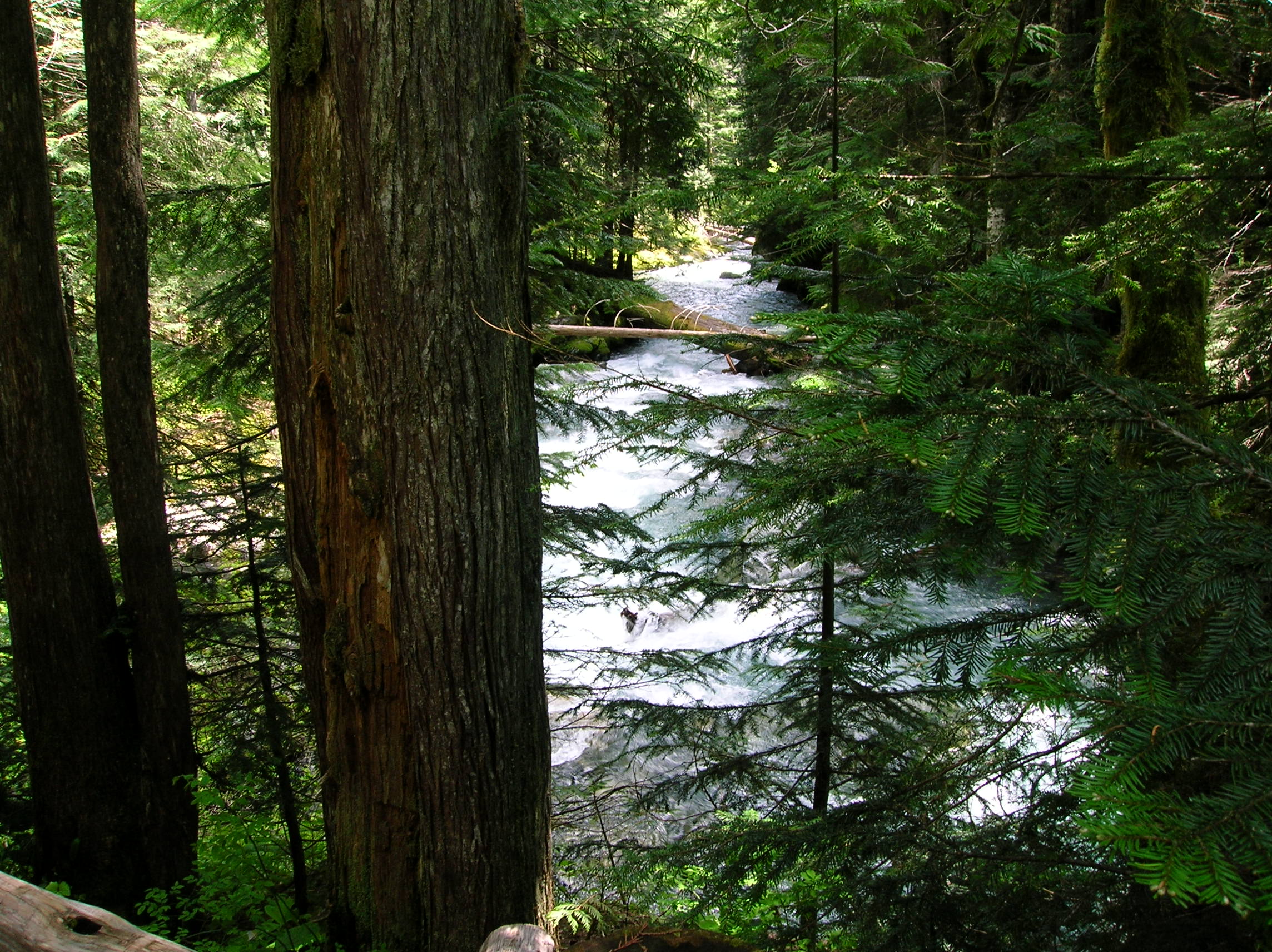
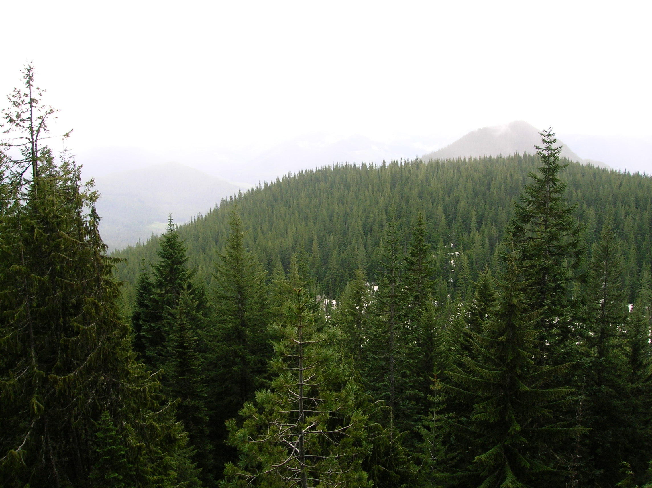
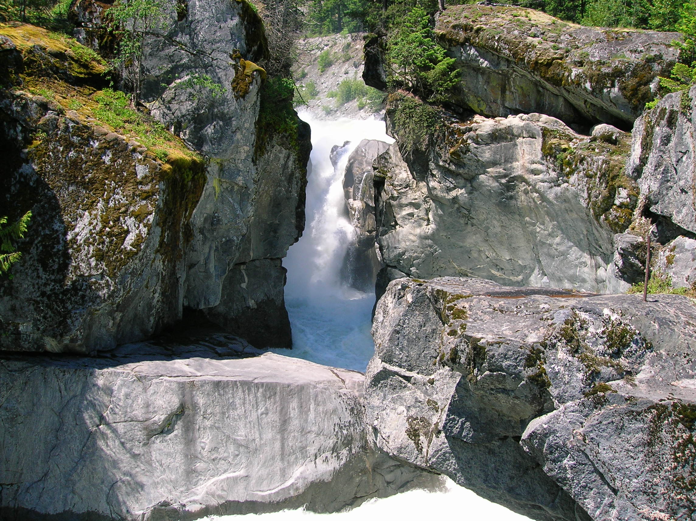
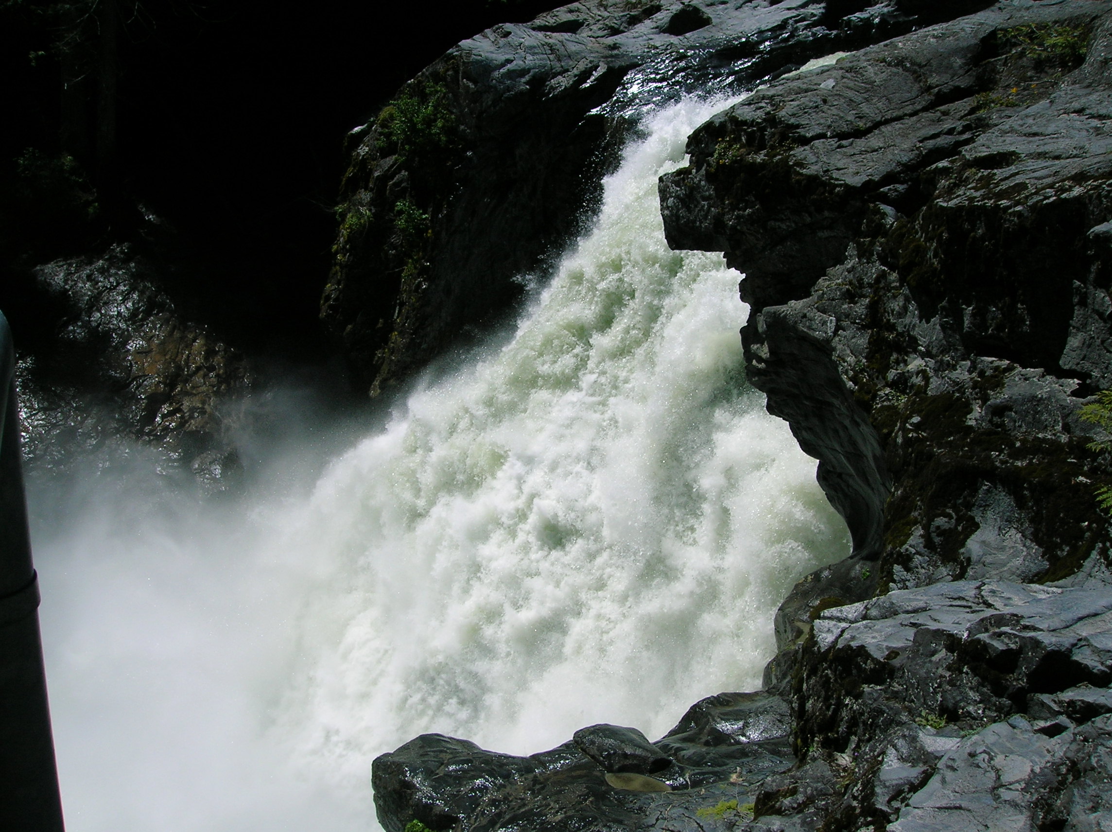
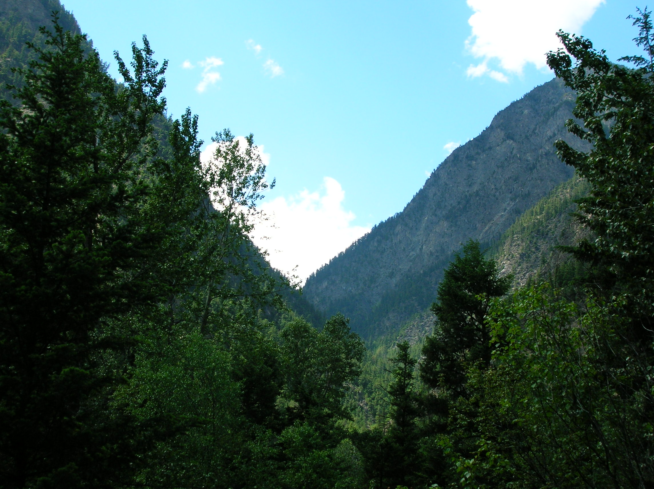
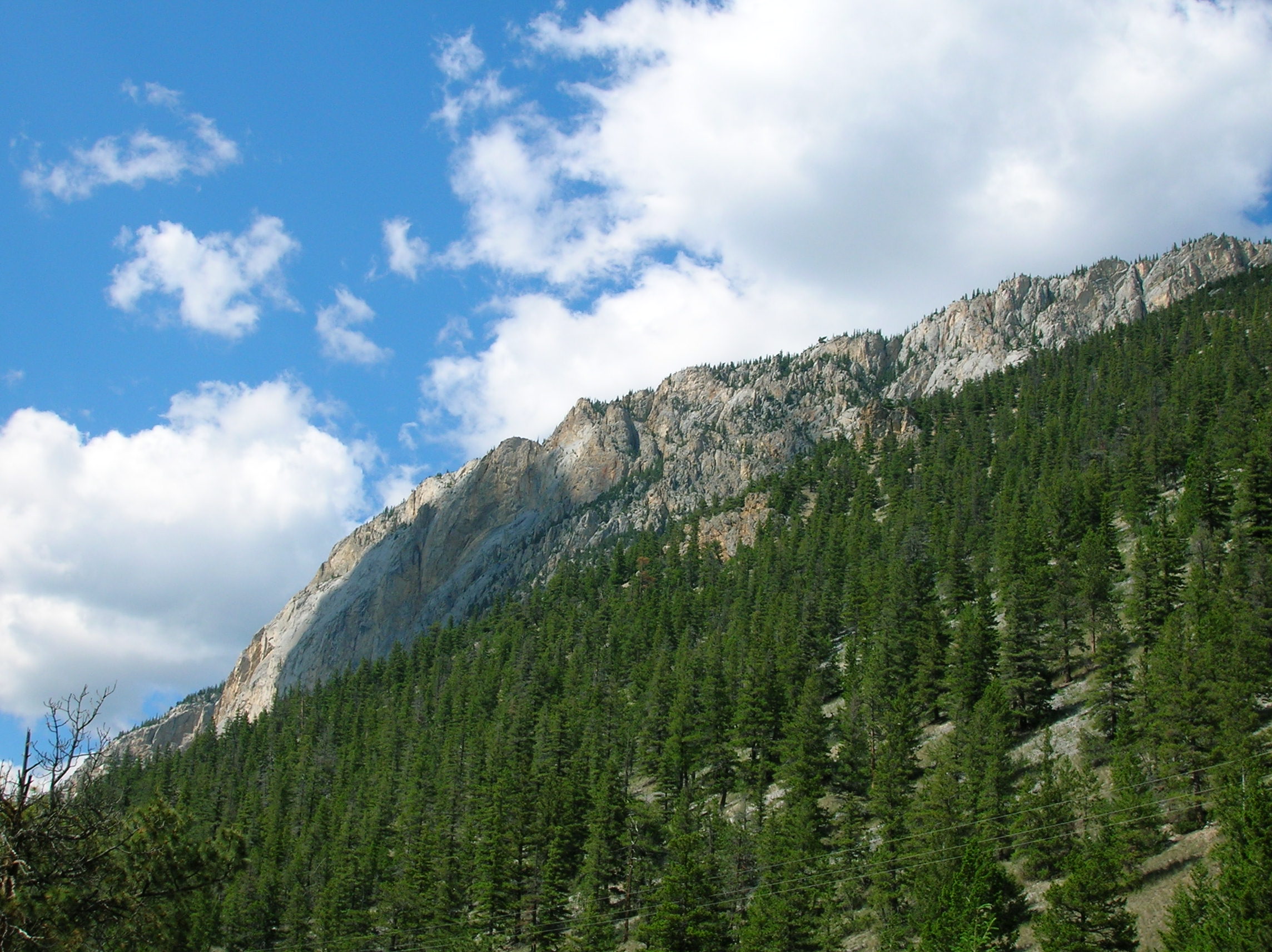
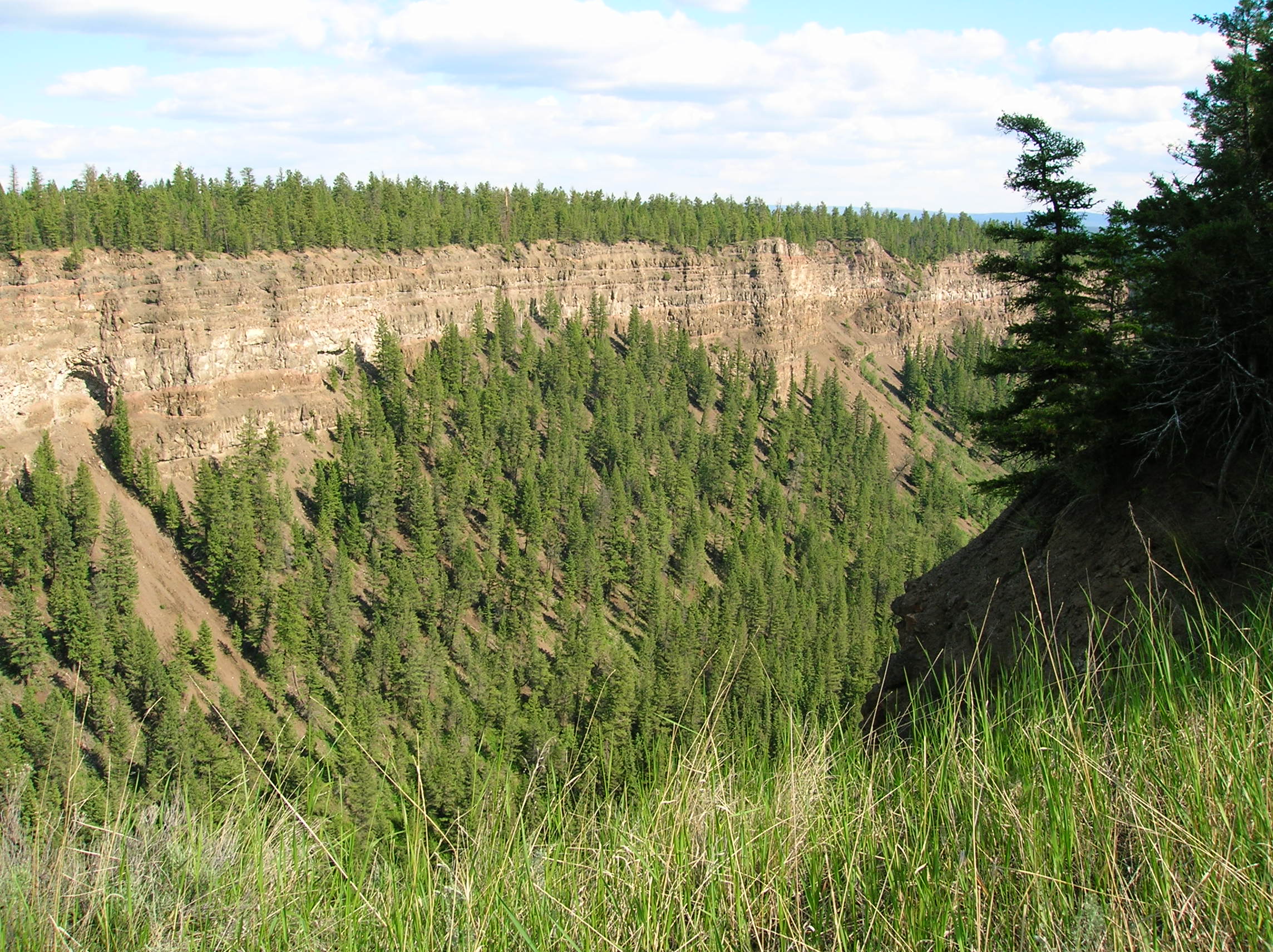
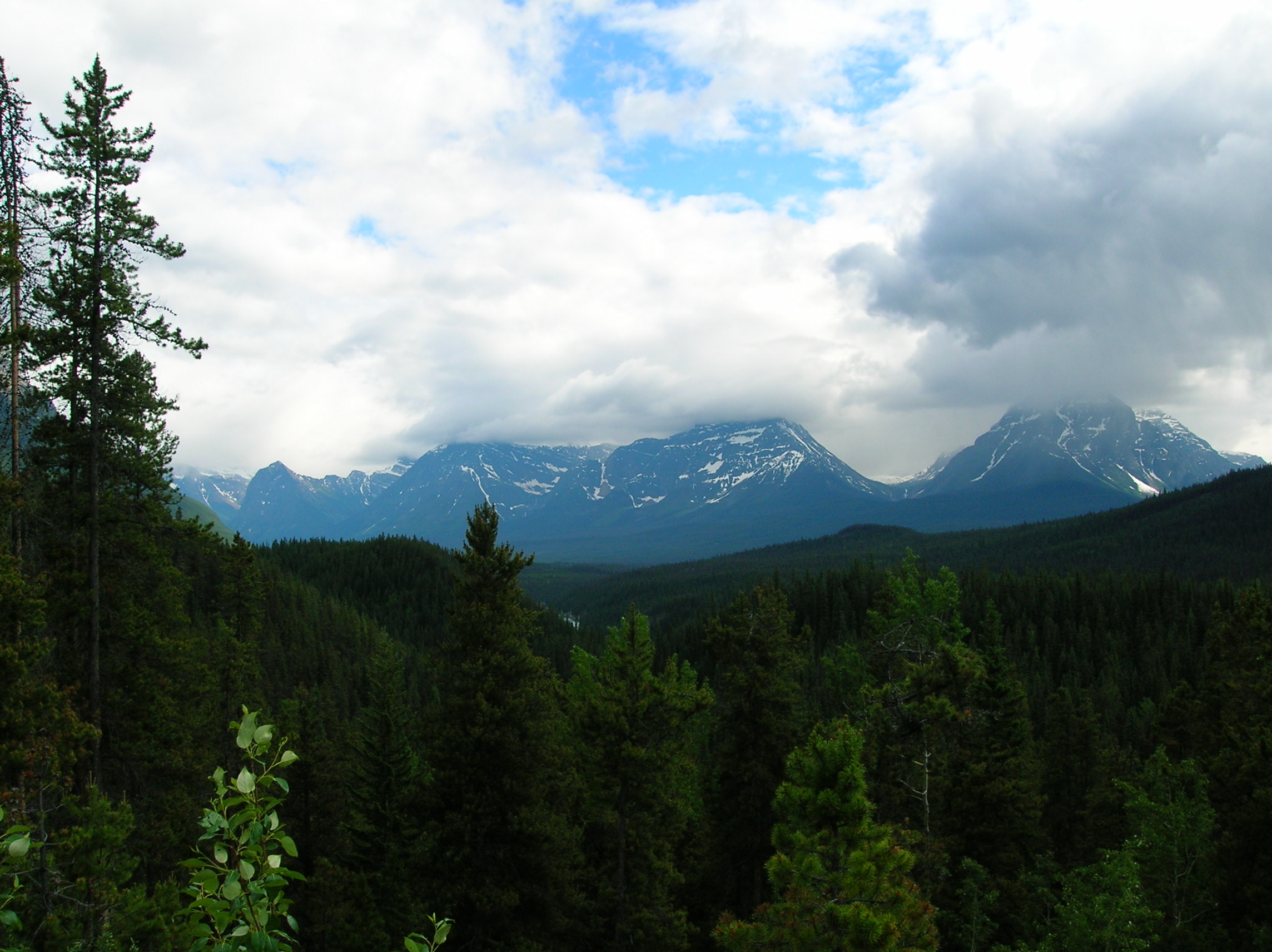
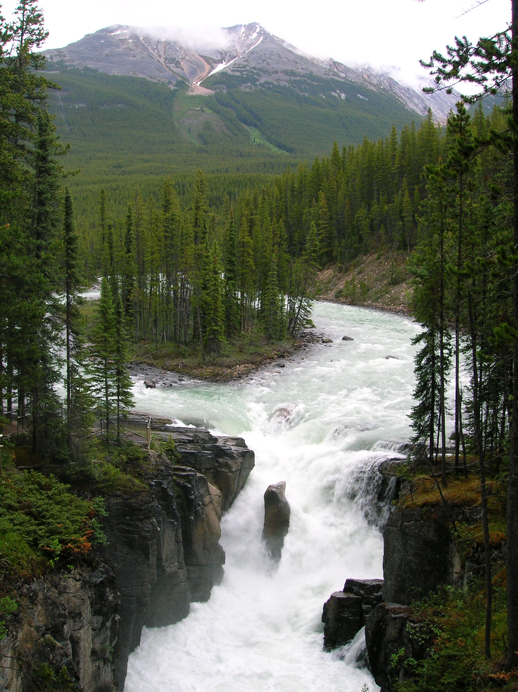
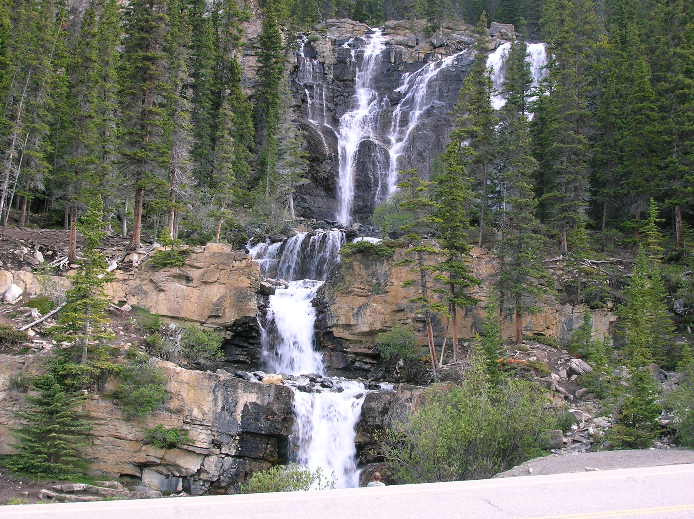
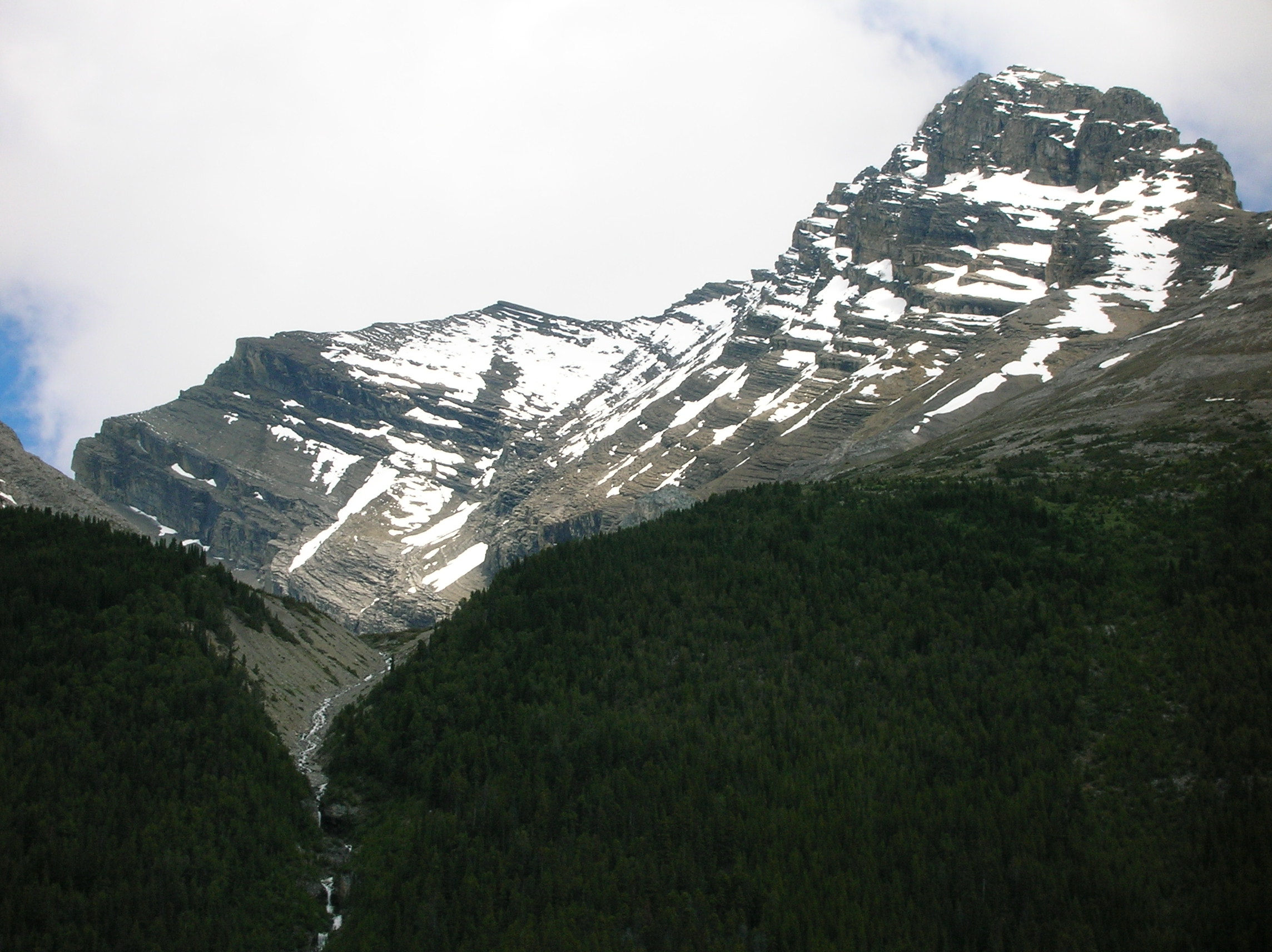
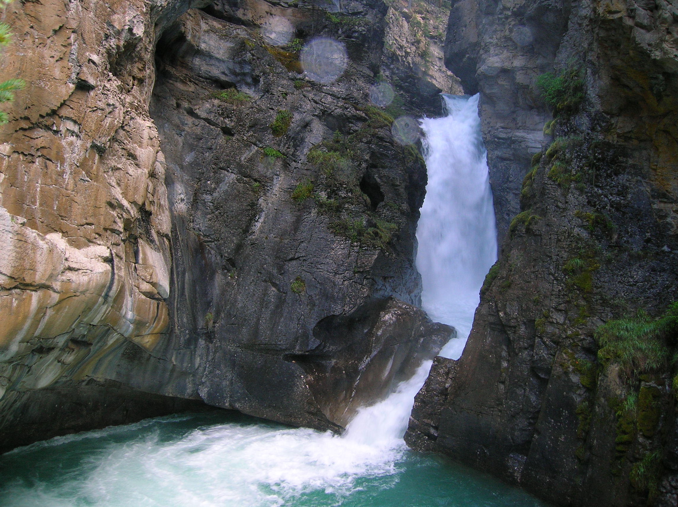
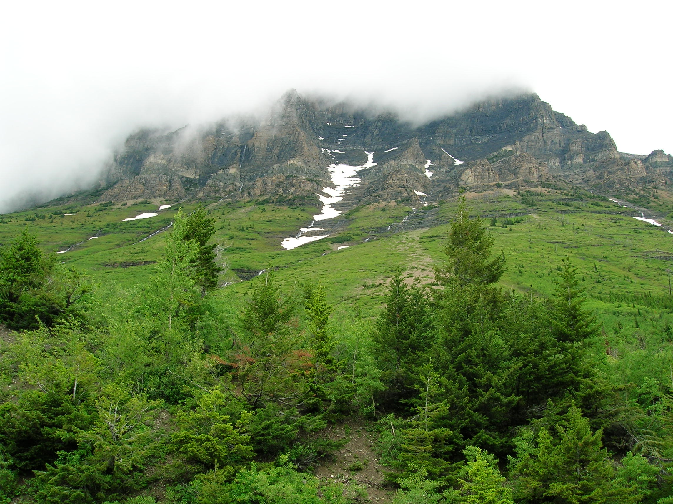
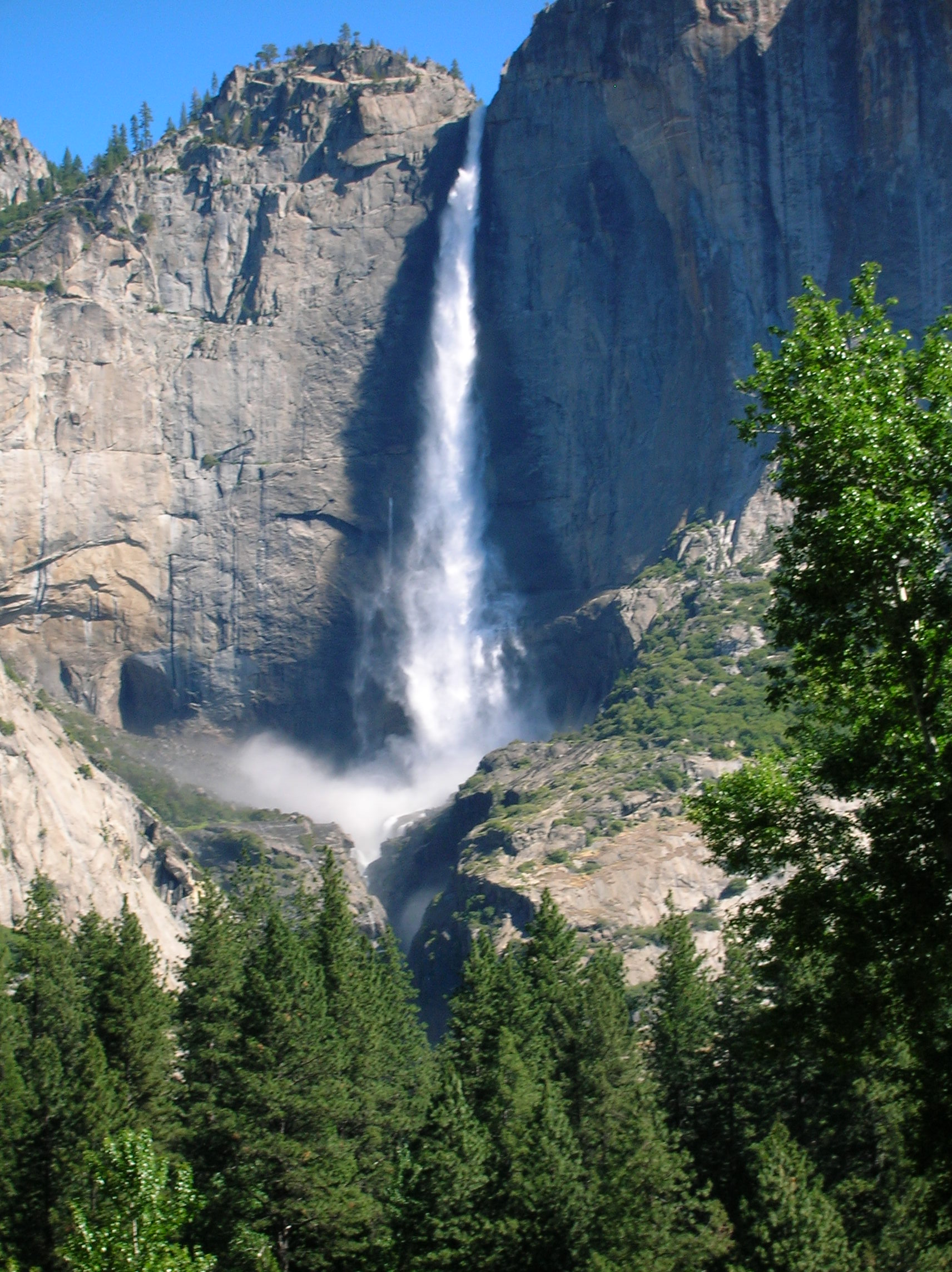
Waterfall on Trinity Alps Hike
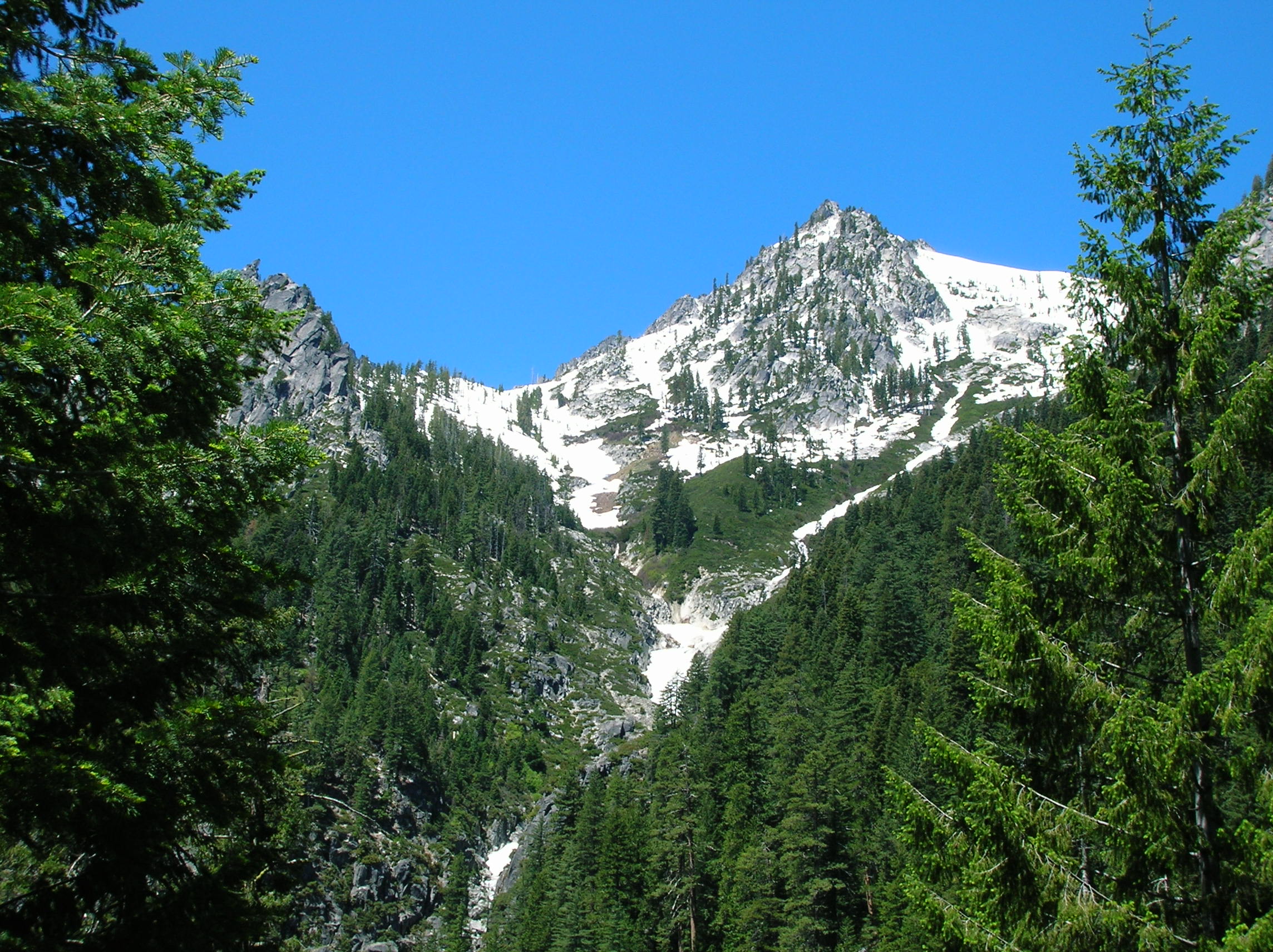
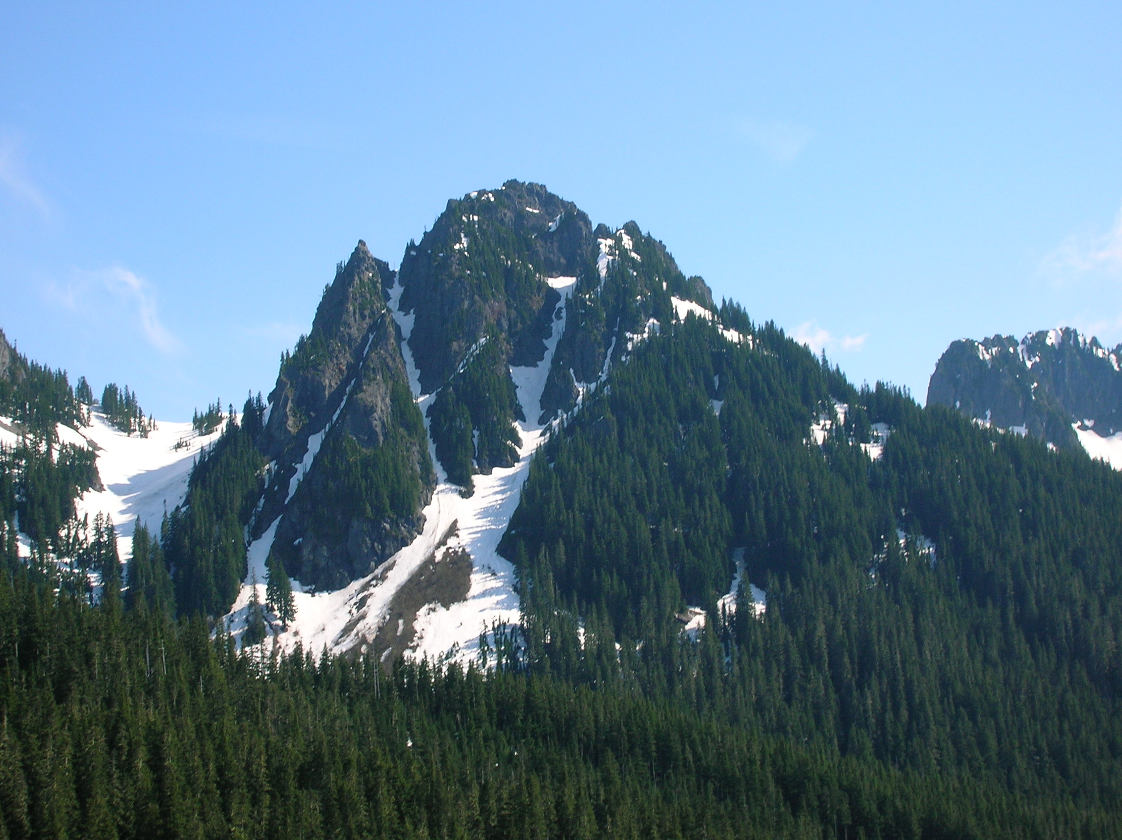
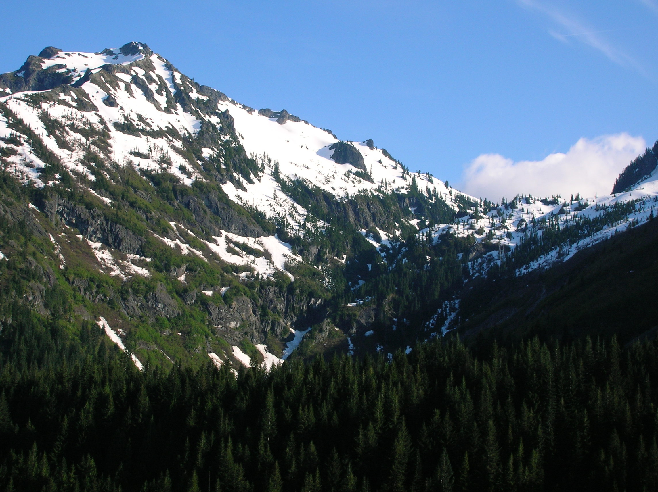
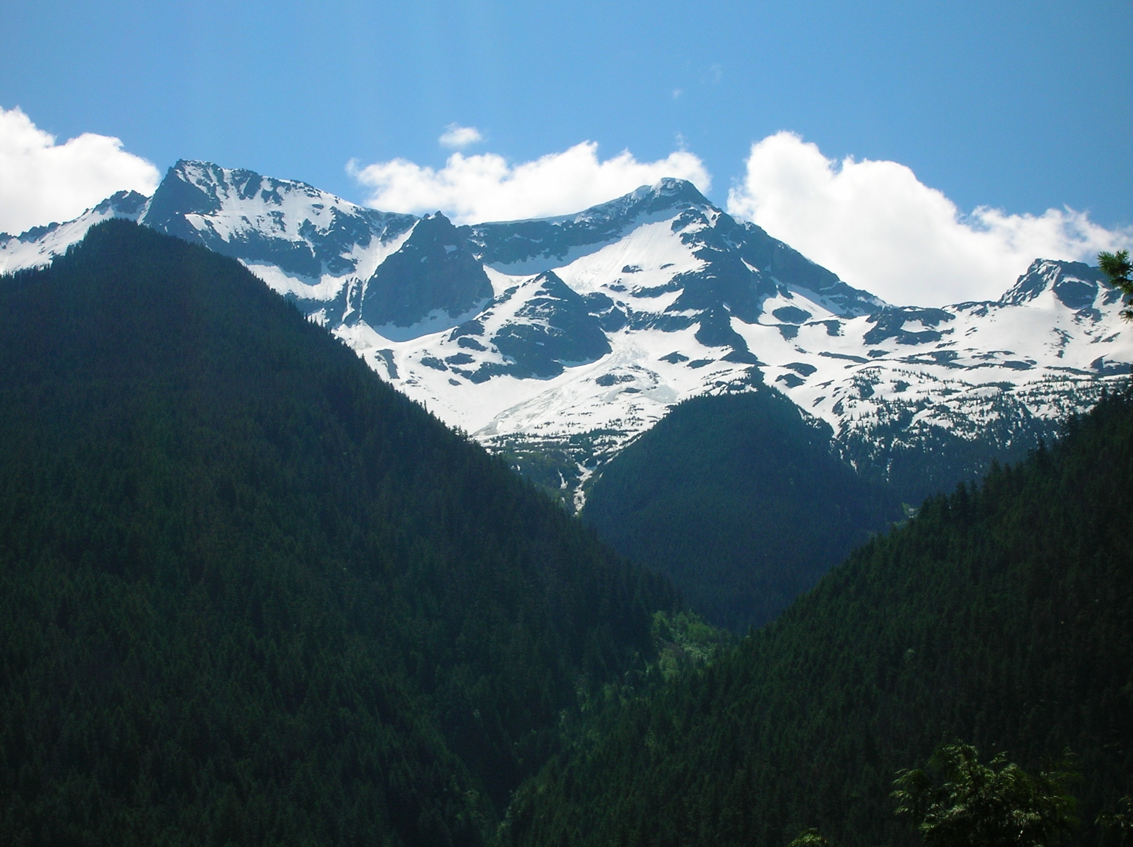
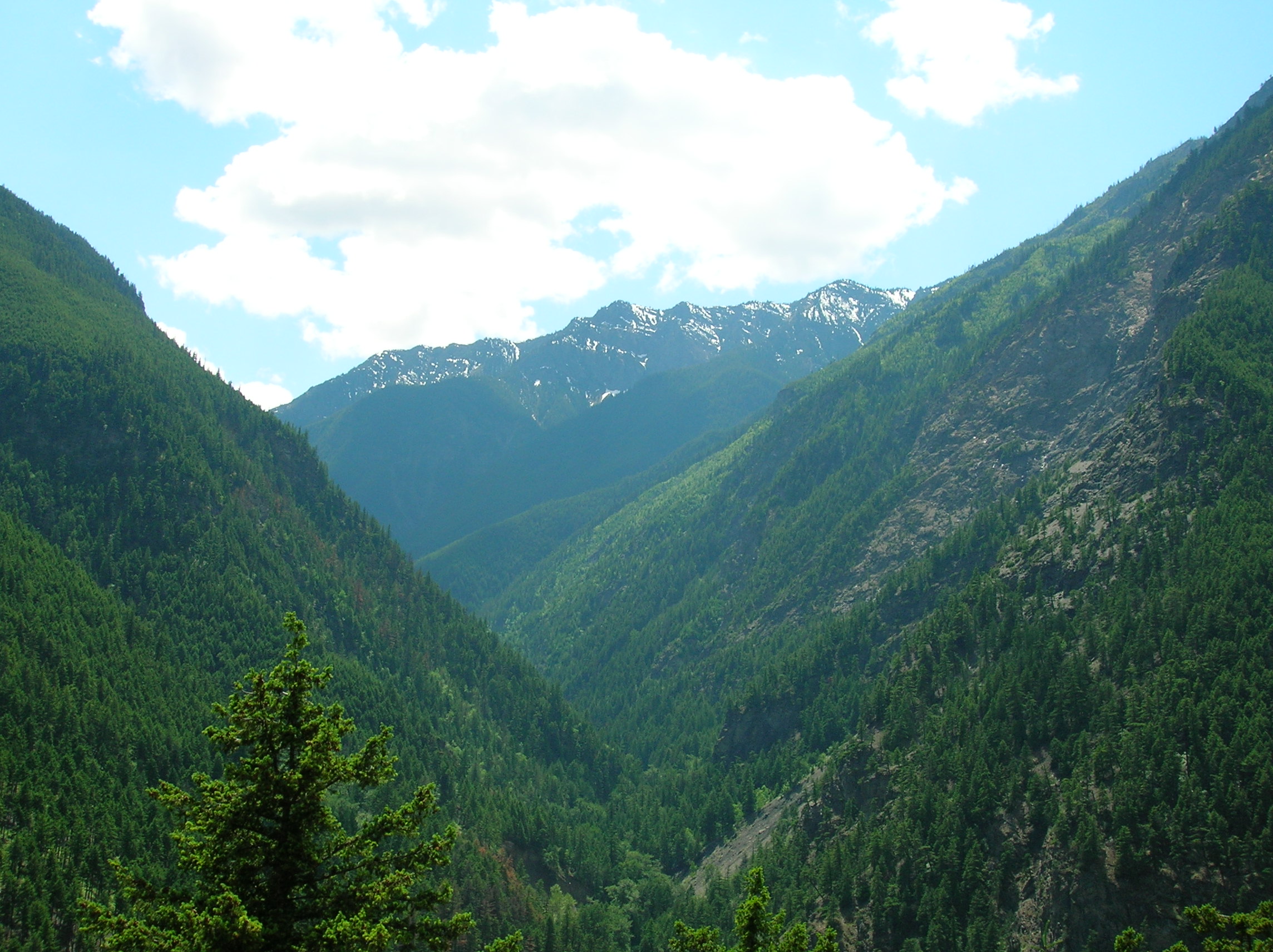
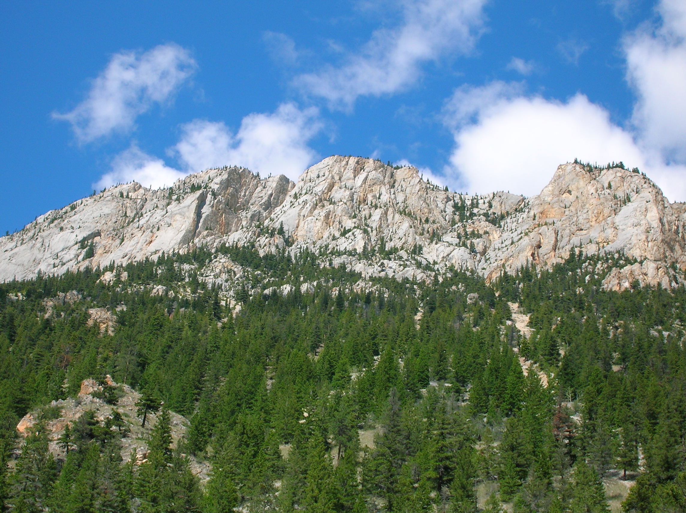
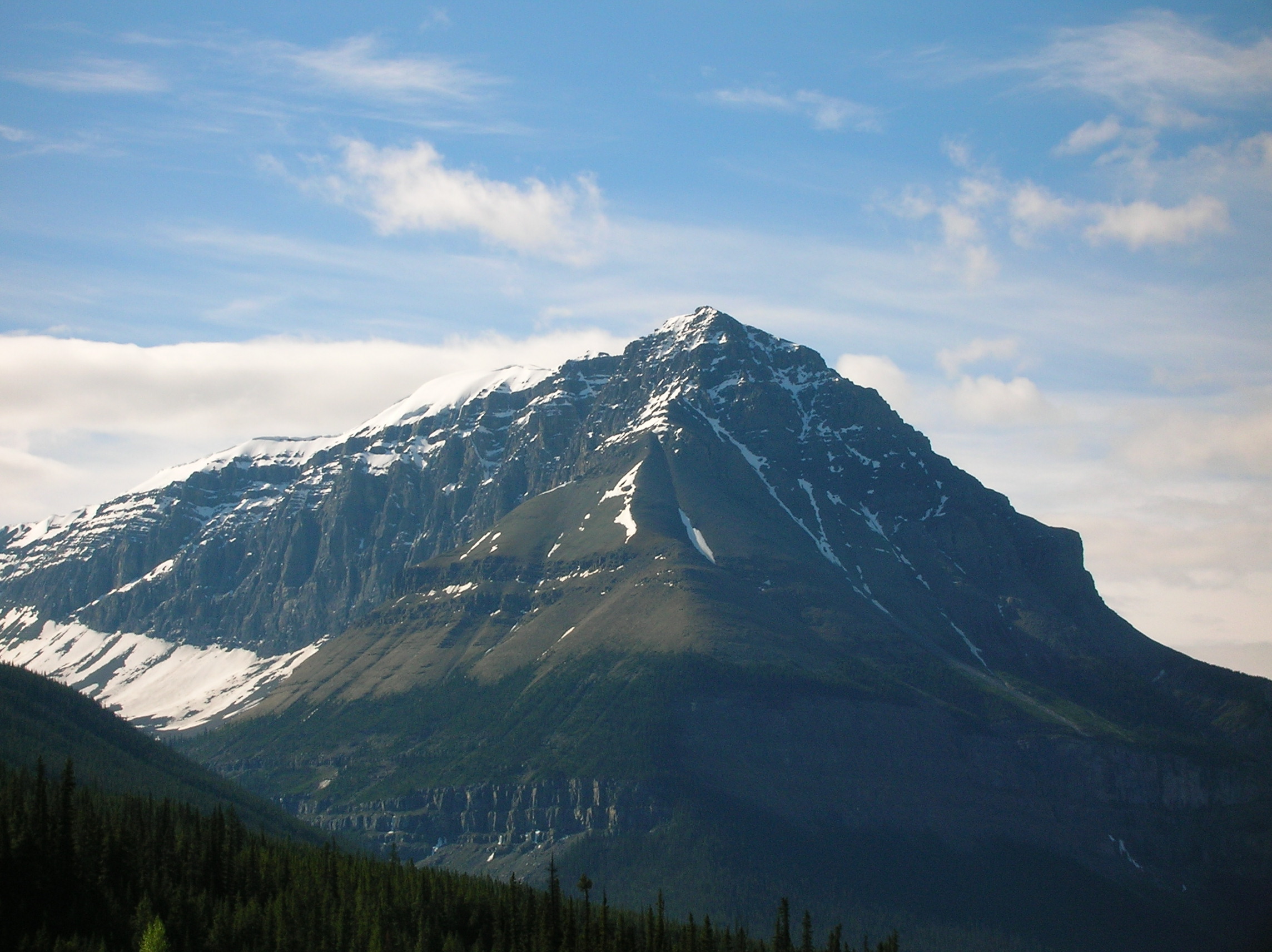
Snowy Peak from Hike
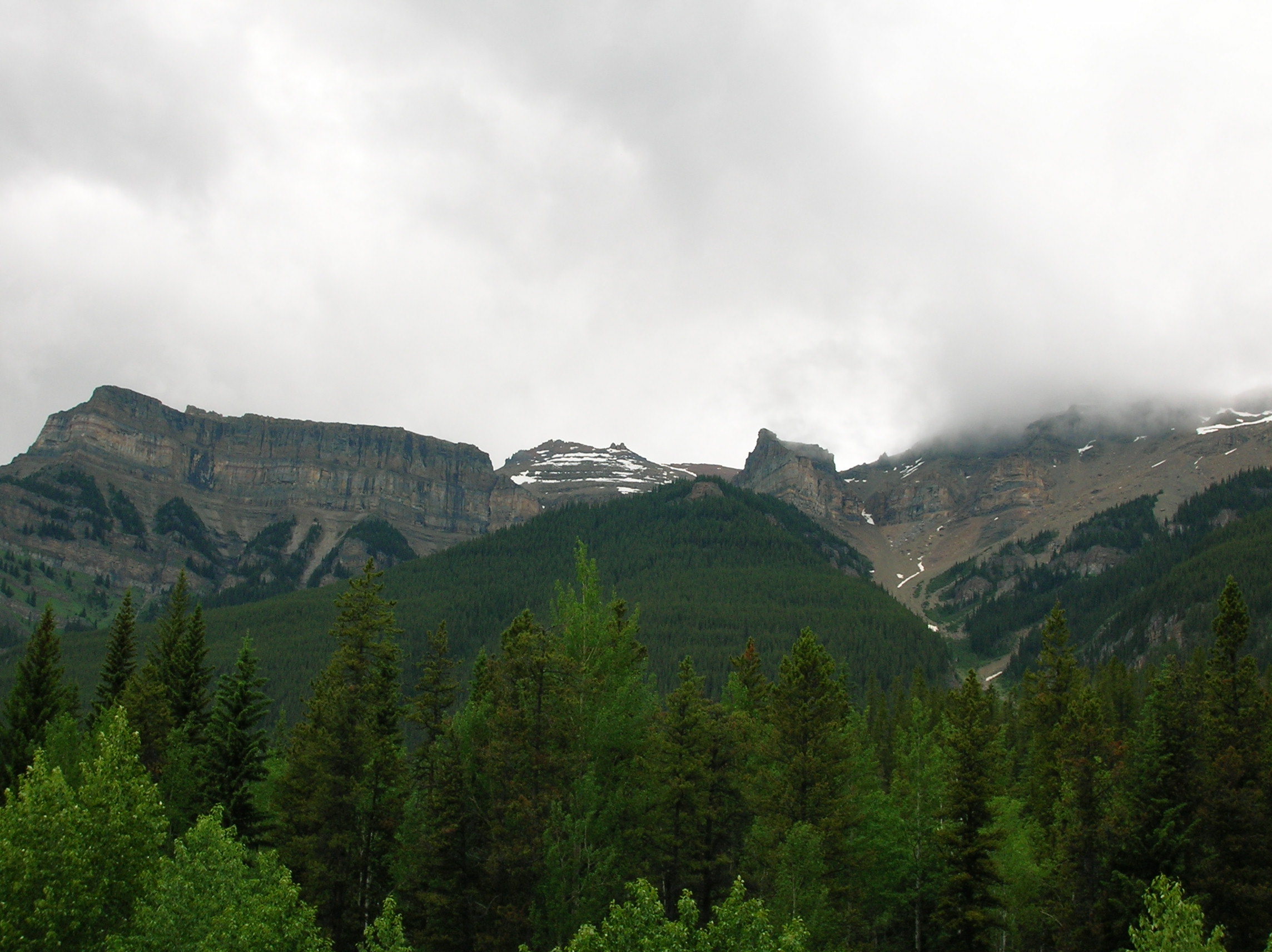
Day 3: Portland
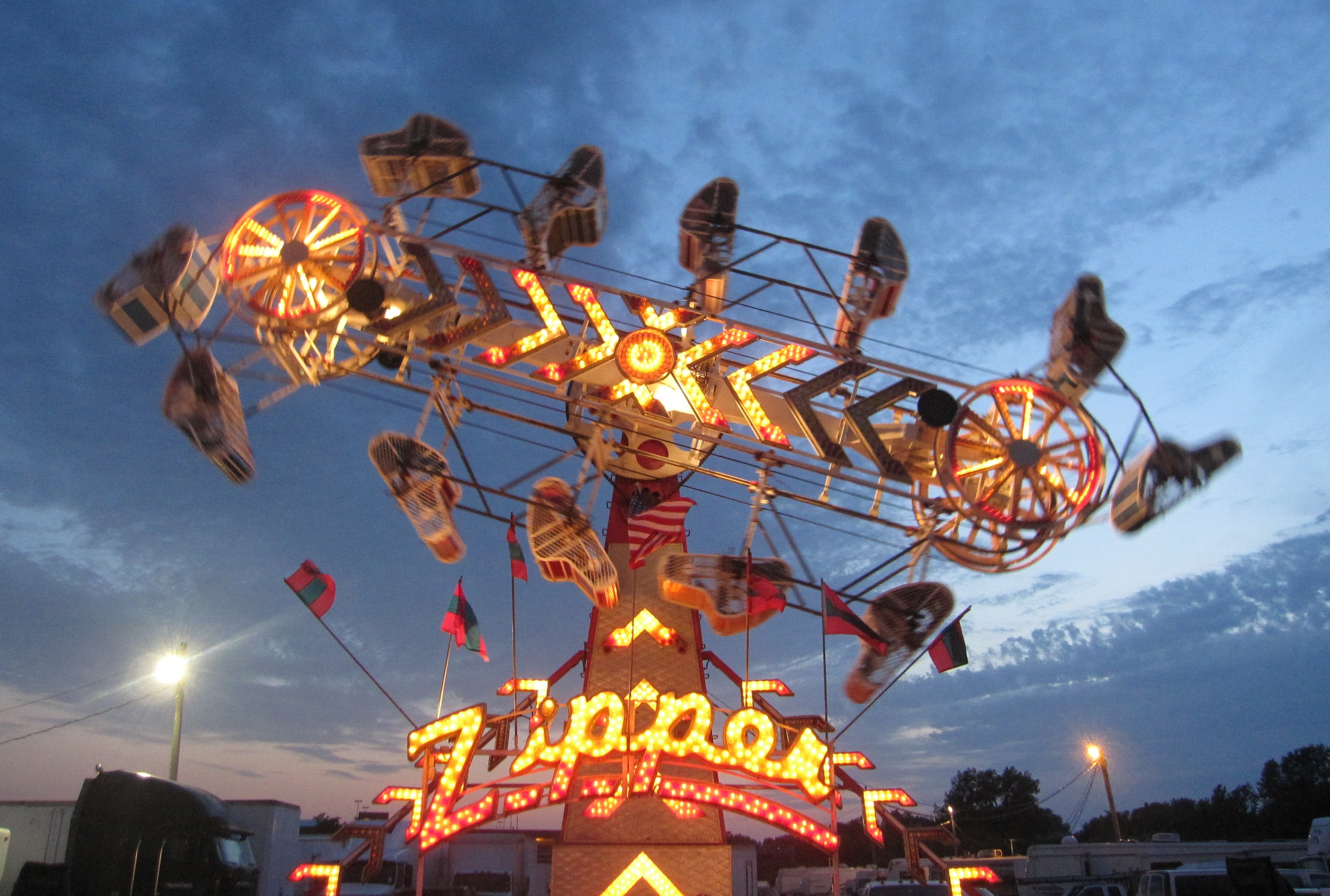
No pictures taken this day. Sort of took it easy in the morning. Watched some of Josh's Tivo and saw the latest Sopranos. We went out for a nice burger at the local chain Burgerville, which I think is pretty good and always enjoy when I'm up there. Took a little driving tour from some neighborhoods and went up to Mt. Tabor Park with is this extinct volcano in the middle of town. Then met Josh's girlfriend and headed downtown to some fair that was running a promotion that day for cheap rides. We rode a ride called The Zipper which was the roughest amusement park experience ever. That thing really punishes your body. After than and a few other rides, I didn't feel too good. Had some bad cheesesteak and Elephant Ears then we headed to the bar for "Pub Quiz". The bar was cool, but the quiz guy was really annoying and played loud music so you couldn't talk to people. After this, we went to some place called Dantes Inferno or something for live karoke. The band was really good as were almost all the singers. I was really impressed. Josh impressed the crowd with a stirring rendition of some Wayne's World song I had no recollection of, Ballroom Blitz, that drew huge applause. We then got driven home by some chick the worked at Josh's hotel that drove like a maniac and I was a bit scared. Went to bed at 2am.
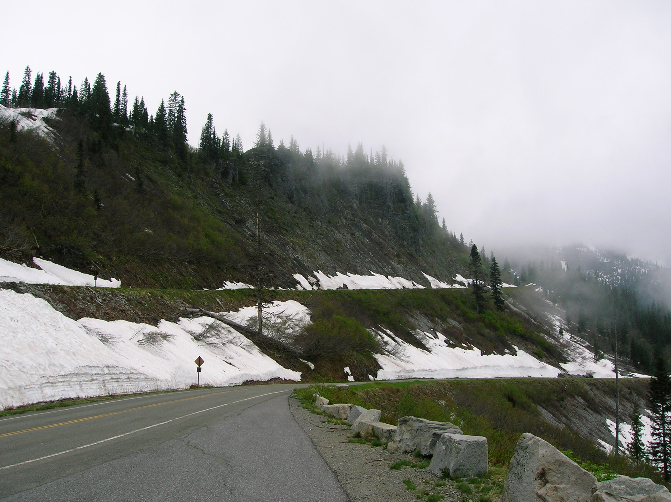
Day 4: Drive to Mt. Rainier and Sightseeing
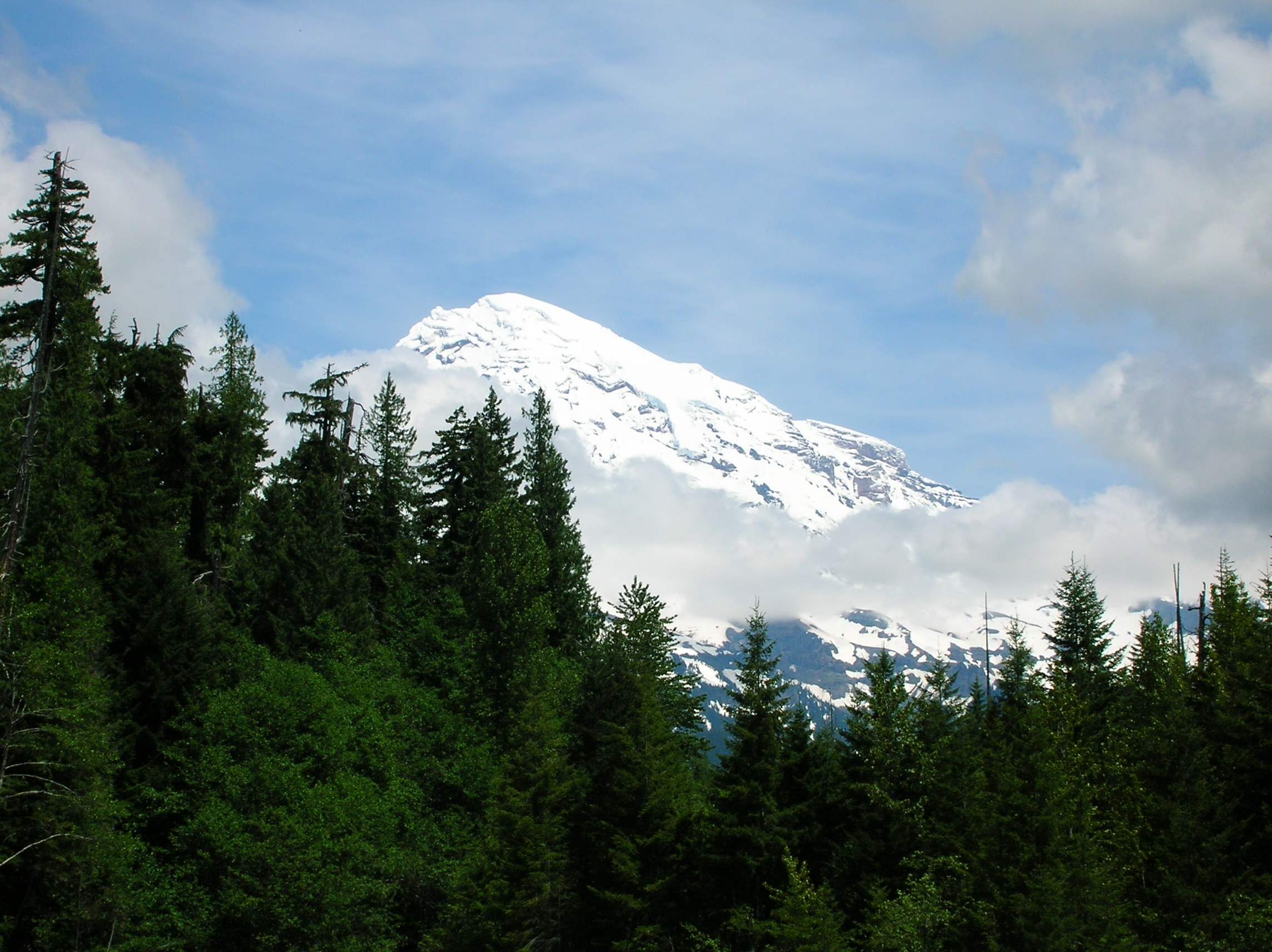
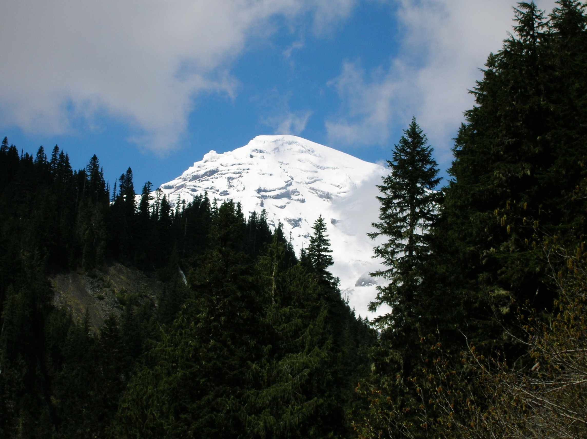
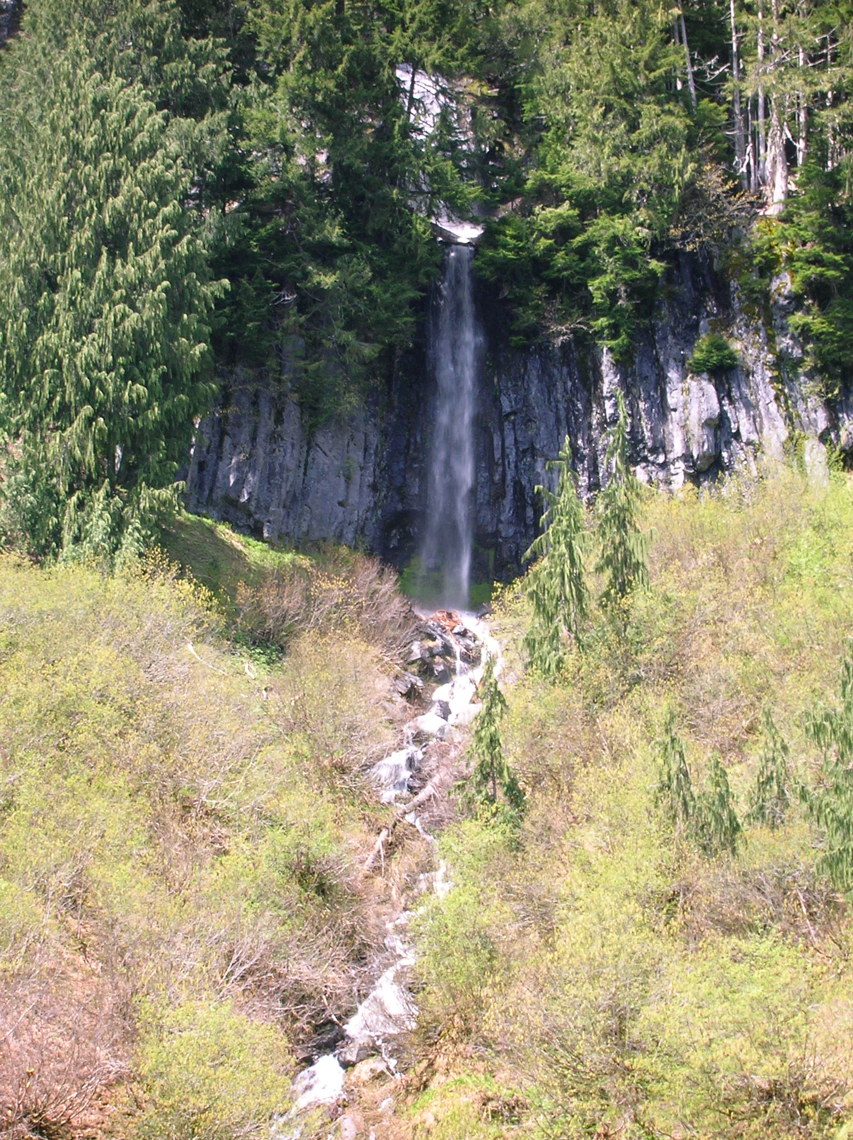
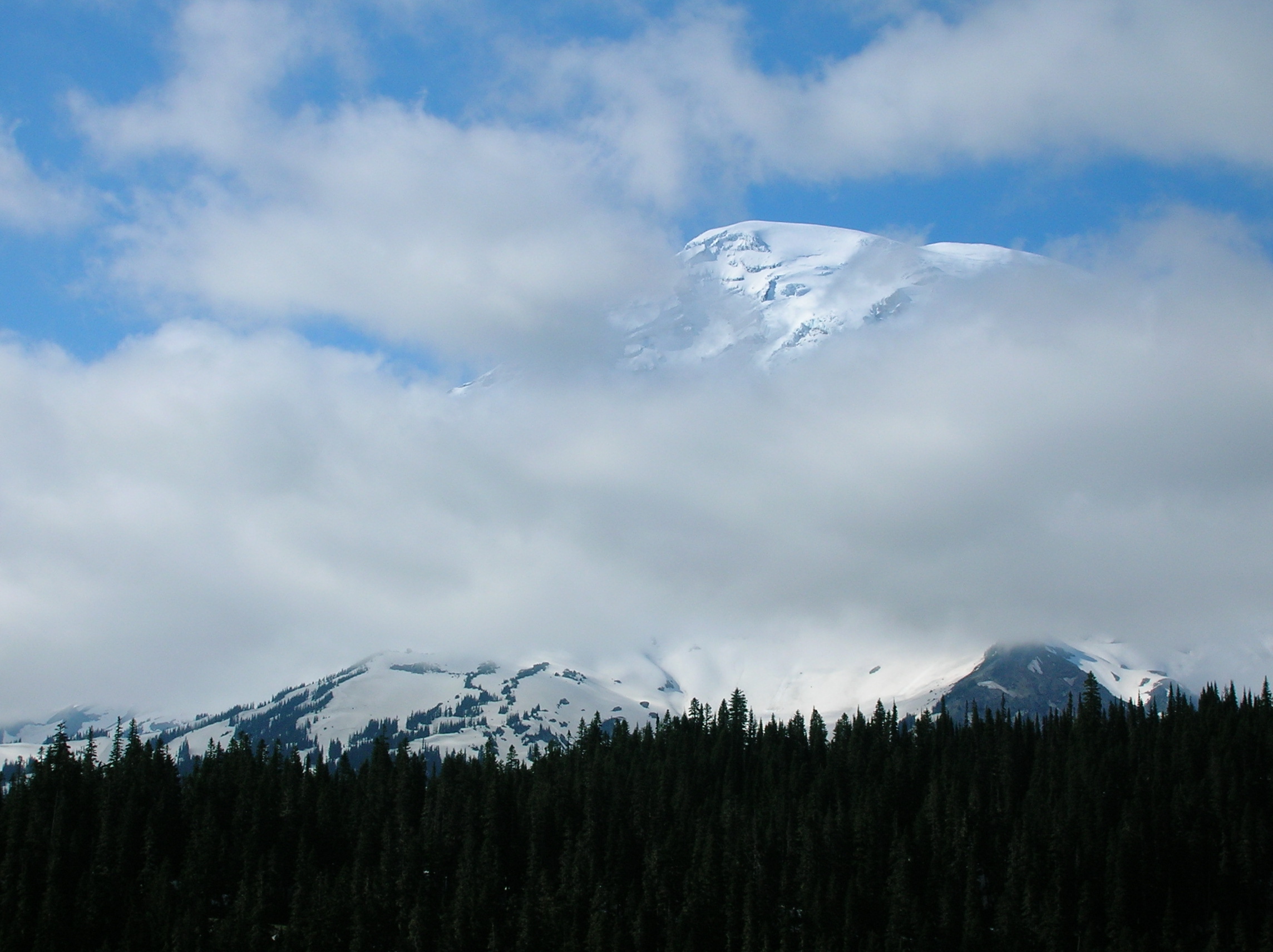
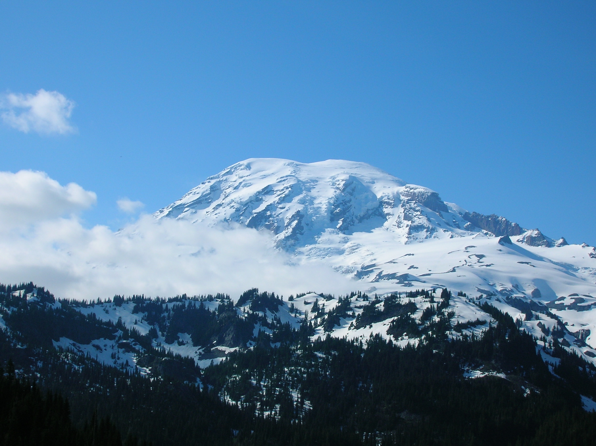
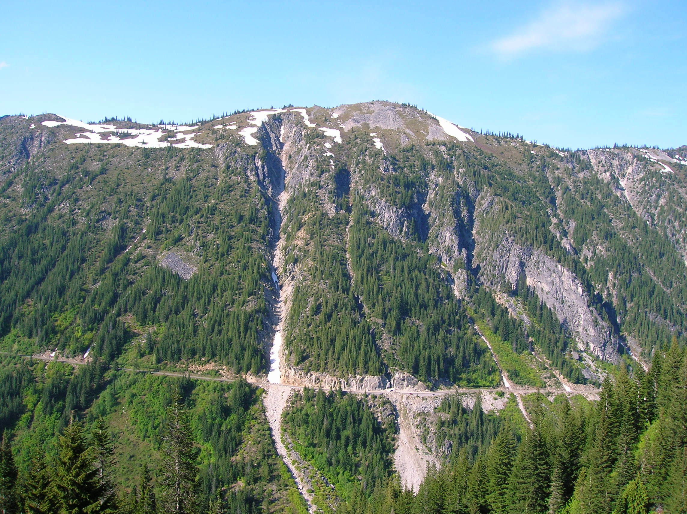
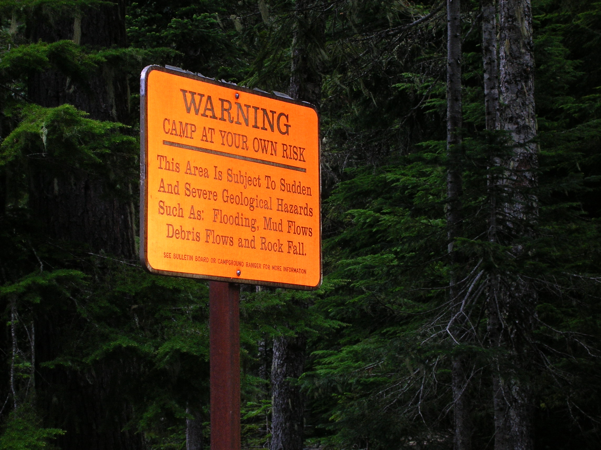
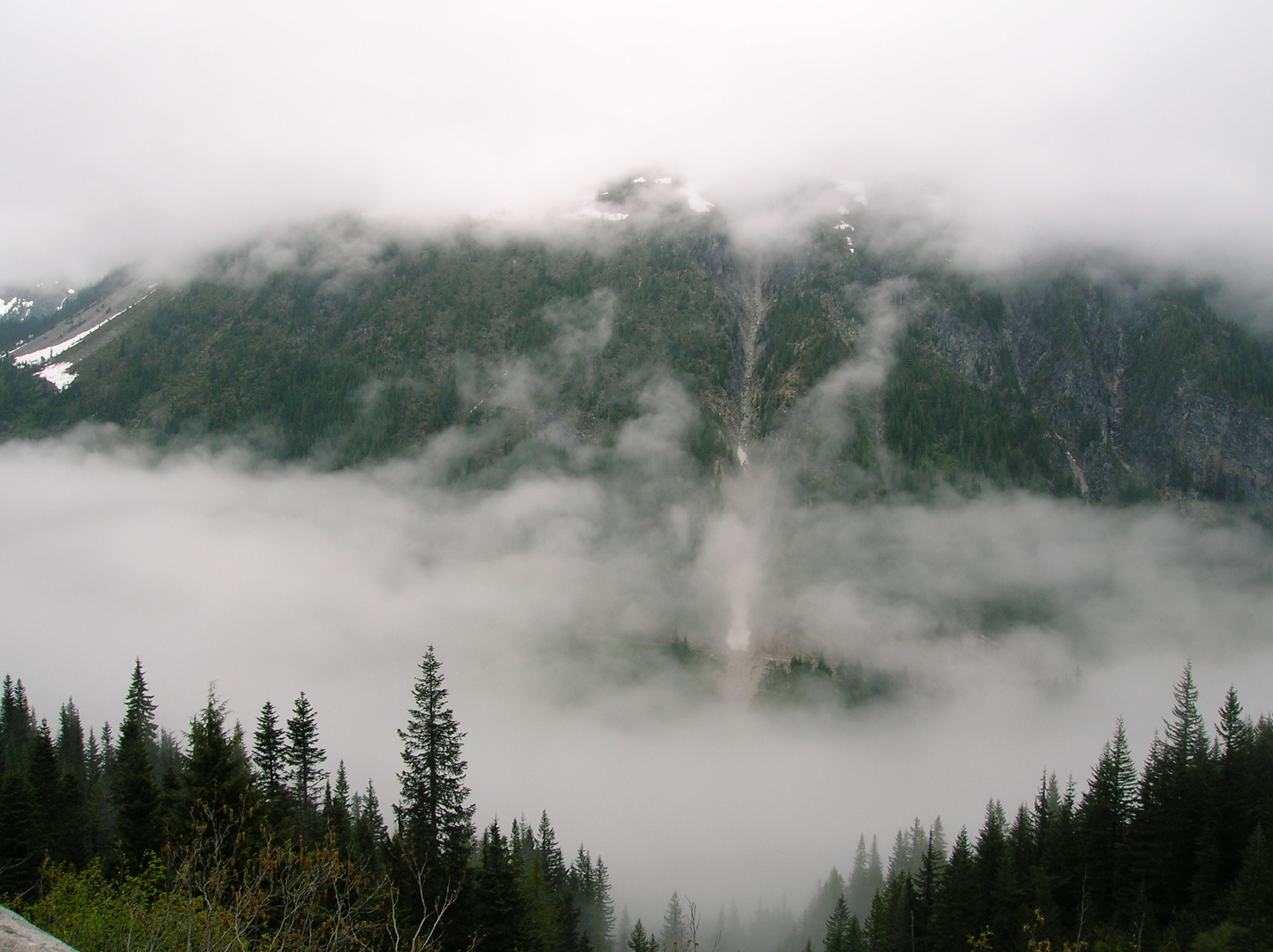
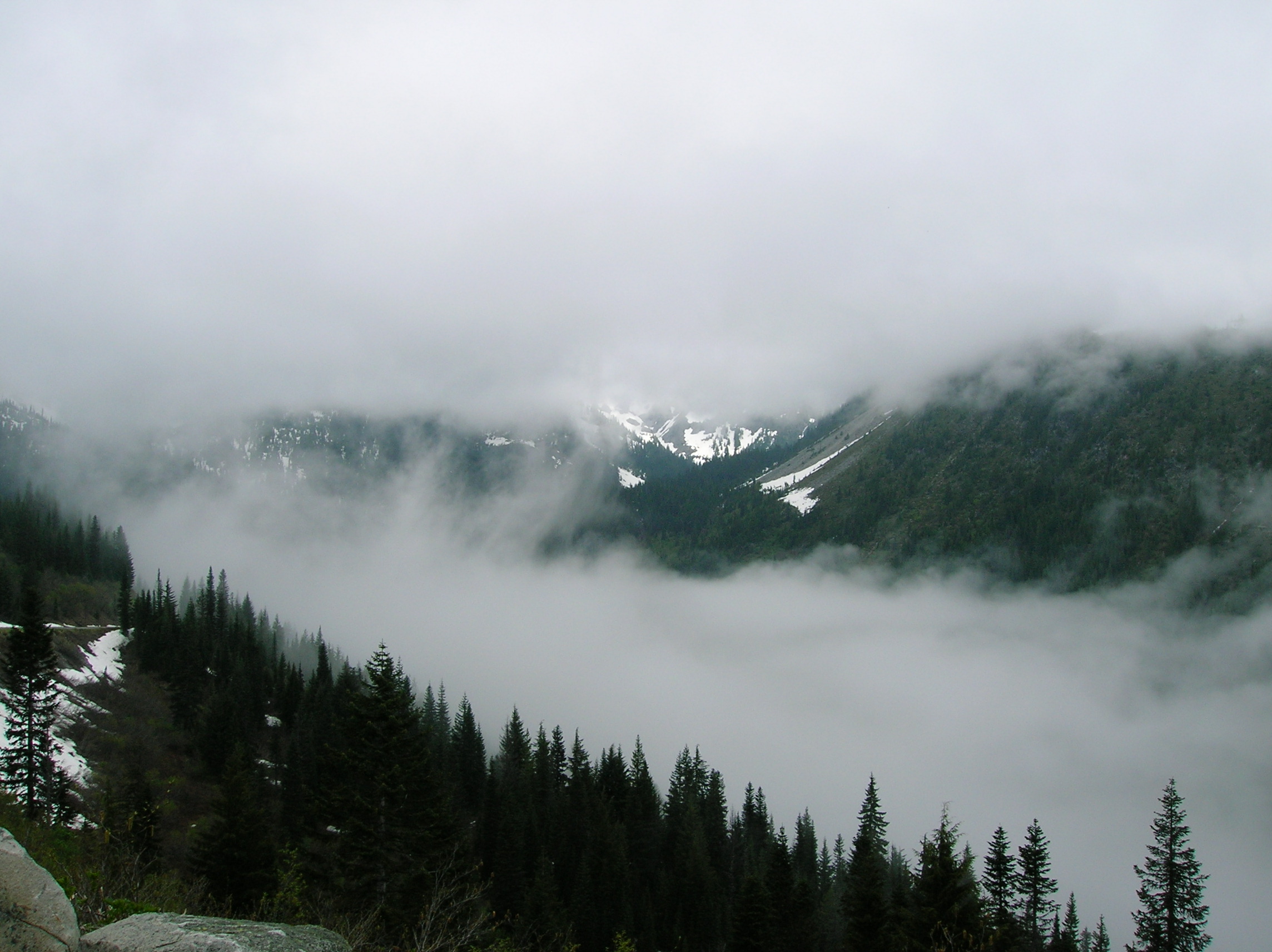
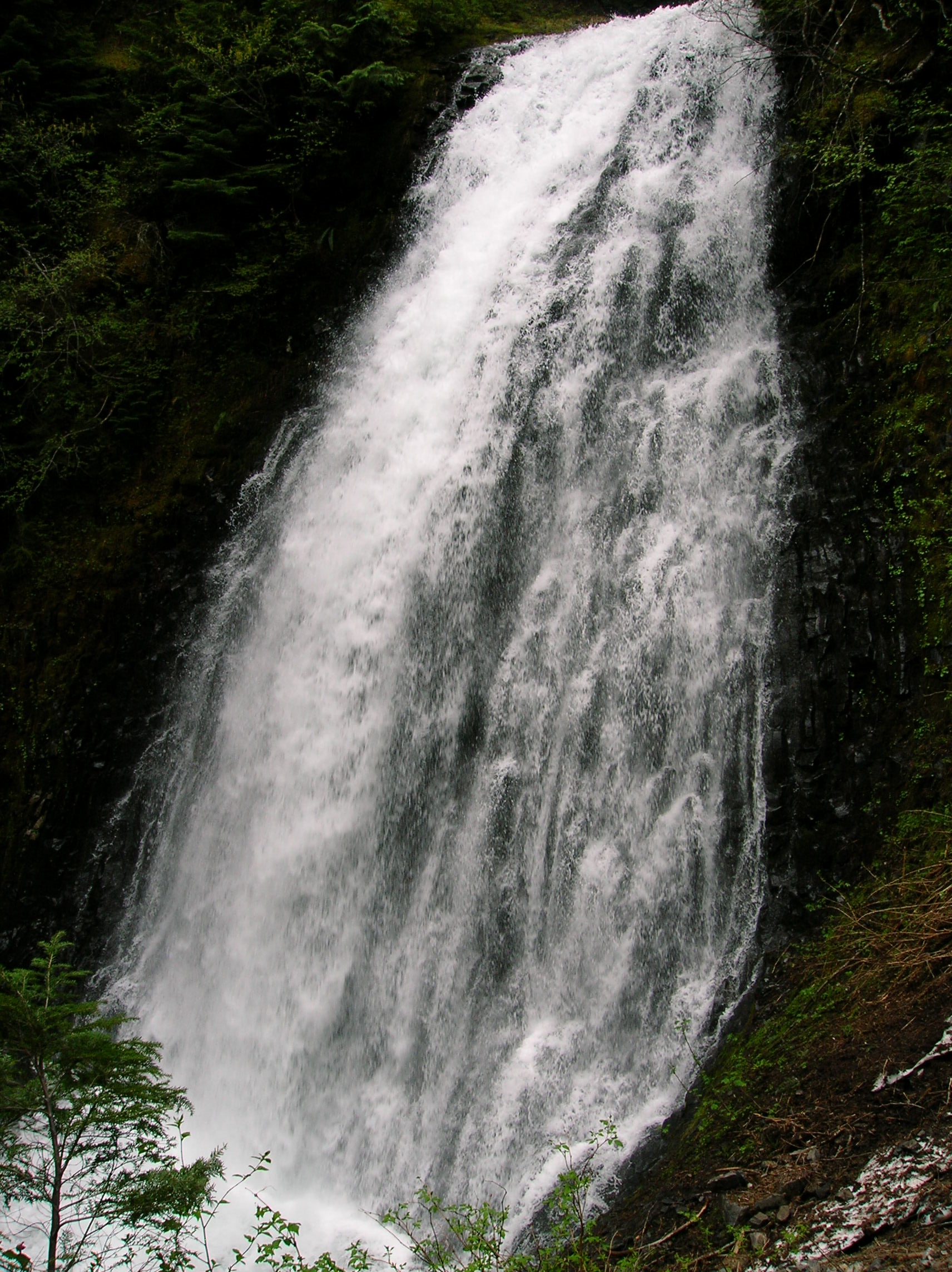
I hadn't planned on a late night out, but I was at the mercy of my companions. Still, I made it out after a shower around 9:30, got some really cheap Arco gas and some ice and was on my way north to Washington and Mt. Rainier. It was a fairly pleasant drive down country roads with little traffic. Before setting up camp, I went on a little hike, I forget where, but it was near the entrance. Here's a look at the washed out beginning where there was some giant flood a long time ago. Nice little water chasm near the start as well. Later on a bit higher, a couple nice open views. Nice little misty waterfall near the end. This hike went a good deal further, but snow from the big season and the fact that it was still early June made for an early turnaround, which was fine since there was plenty to do and I was here for another day and a half still after today. After this hike, I went on a bit of a driving tour of the park and this is a nice shot of the main attraction from some lookout. I like the contrast of light and dark and the clouds in the corner. This is my new desktop background. A nice look at some other part of mountain. Another look. A very cool waterfall along the main drive. Another view of same with less trees in the way. View somewhere else along the main tourist road. Nice cloud action near the top, I presume. A look back at the waterfall previously mentioned. There's something special about being at a place like this with no crowds. The only downside, of course, is the fact that it's sort of early in the season for one with a big snowfall so the hiking is limited. Another good mega-snow covered mountain. I think this day was exceptionally clear for the park today. A nice shot across the canyon from the side of the road to the other side, showing some landslide evidence. A very cool chasm. Nice tunnel action. Mountain. Late day mega snow on mountain. Got back to the Couger Rock campground, which I had set up already, around 6:30 and chilled in the hammock a bit and had the last of the Seagrams or something. Very few people in the campground. I heard a boulder falling down from Couger Rock, but there was no danger as we were far enough away, regardless of what this sign in the campground entrance said. Tomorrow, I'd be doing a big hike, I wasn't sure where. Can of cold chili and some Trader Joe's cookies along with the booze, hammock and Steven King finished off the night.
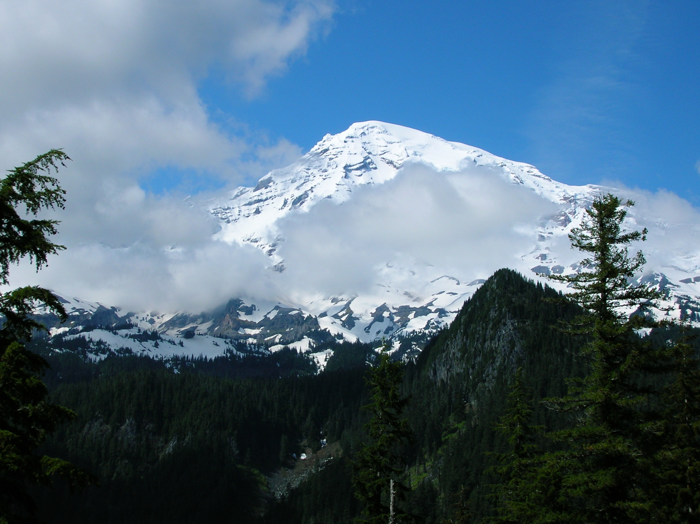
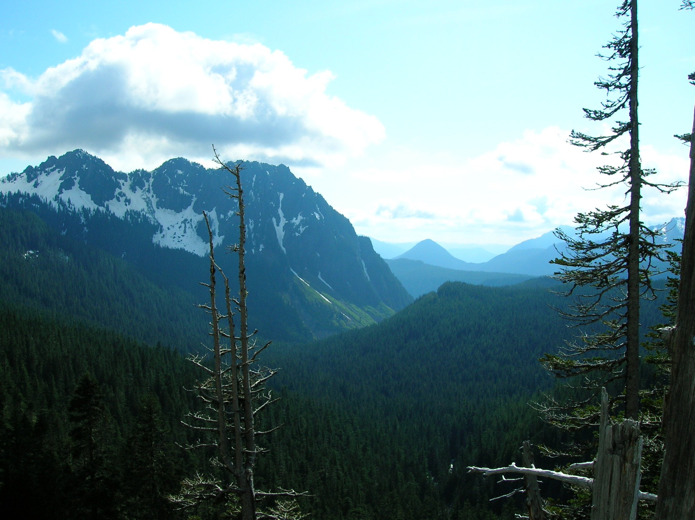
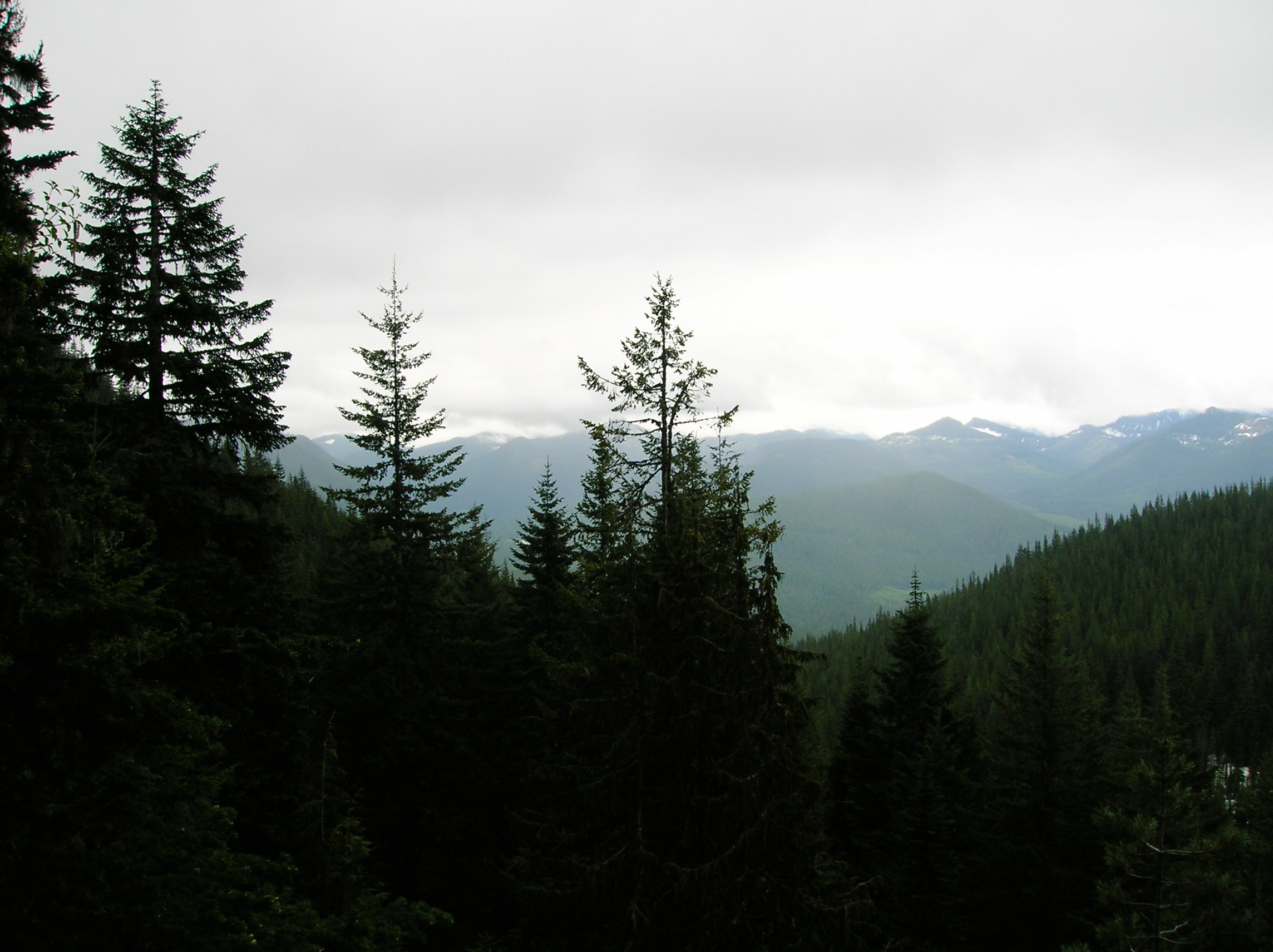
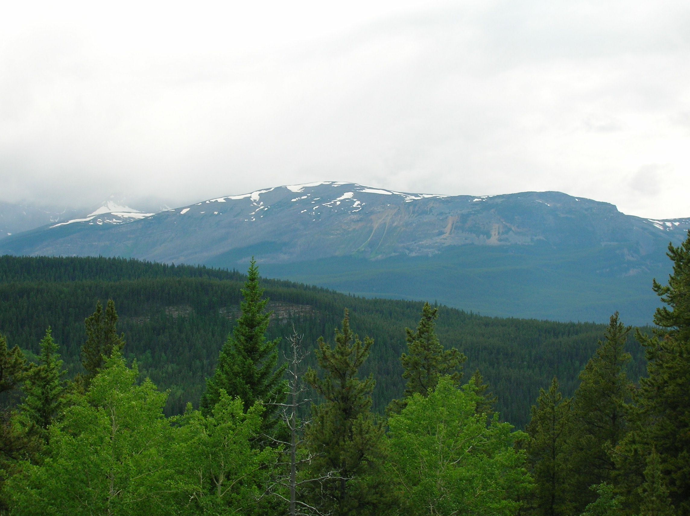
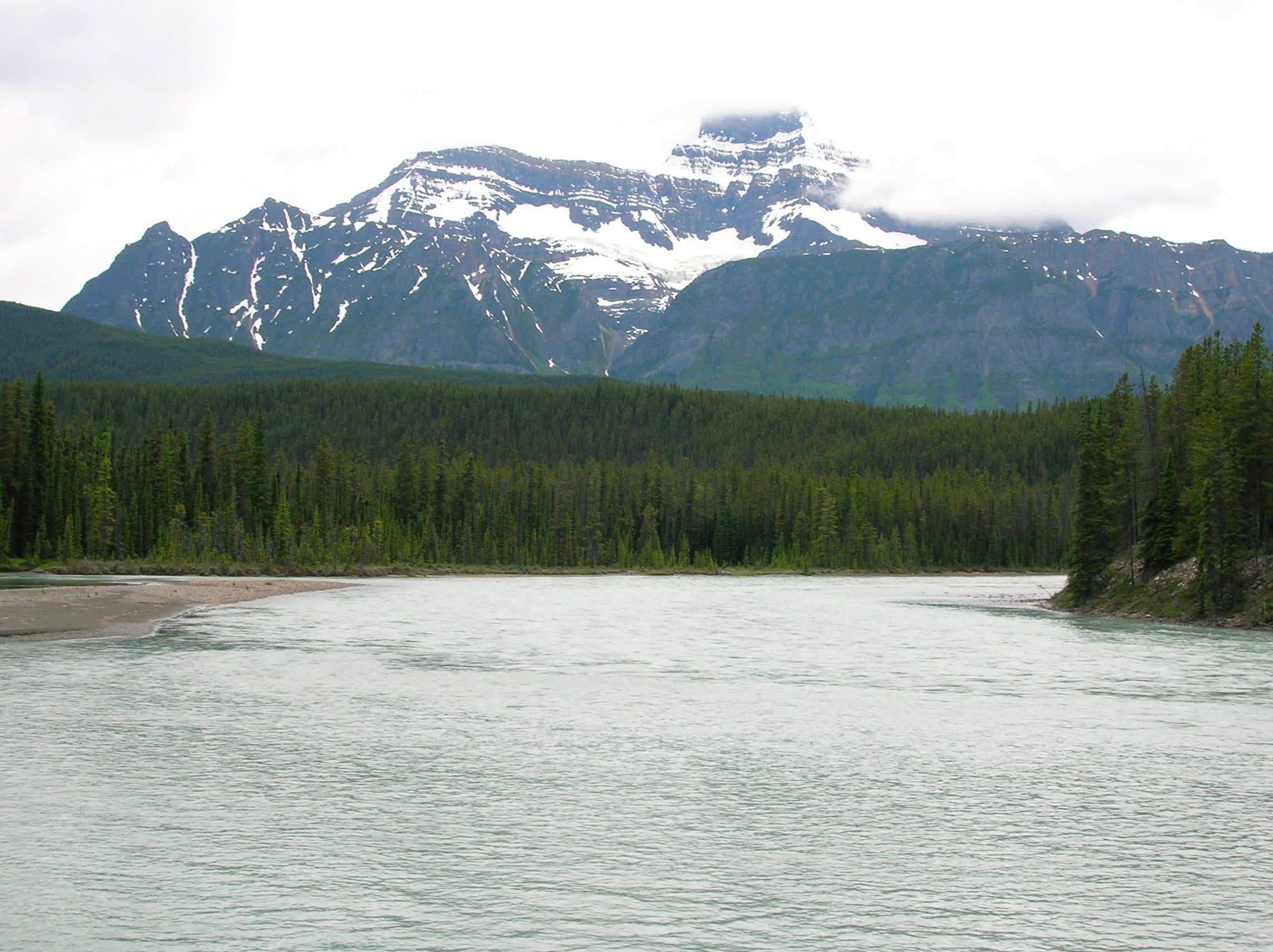
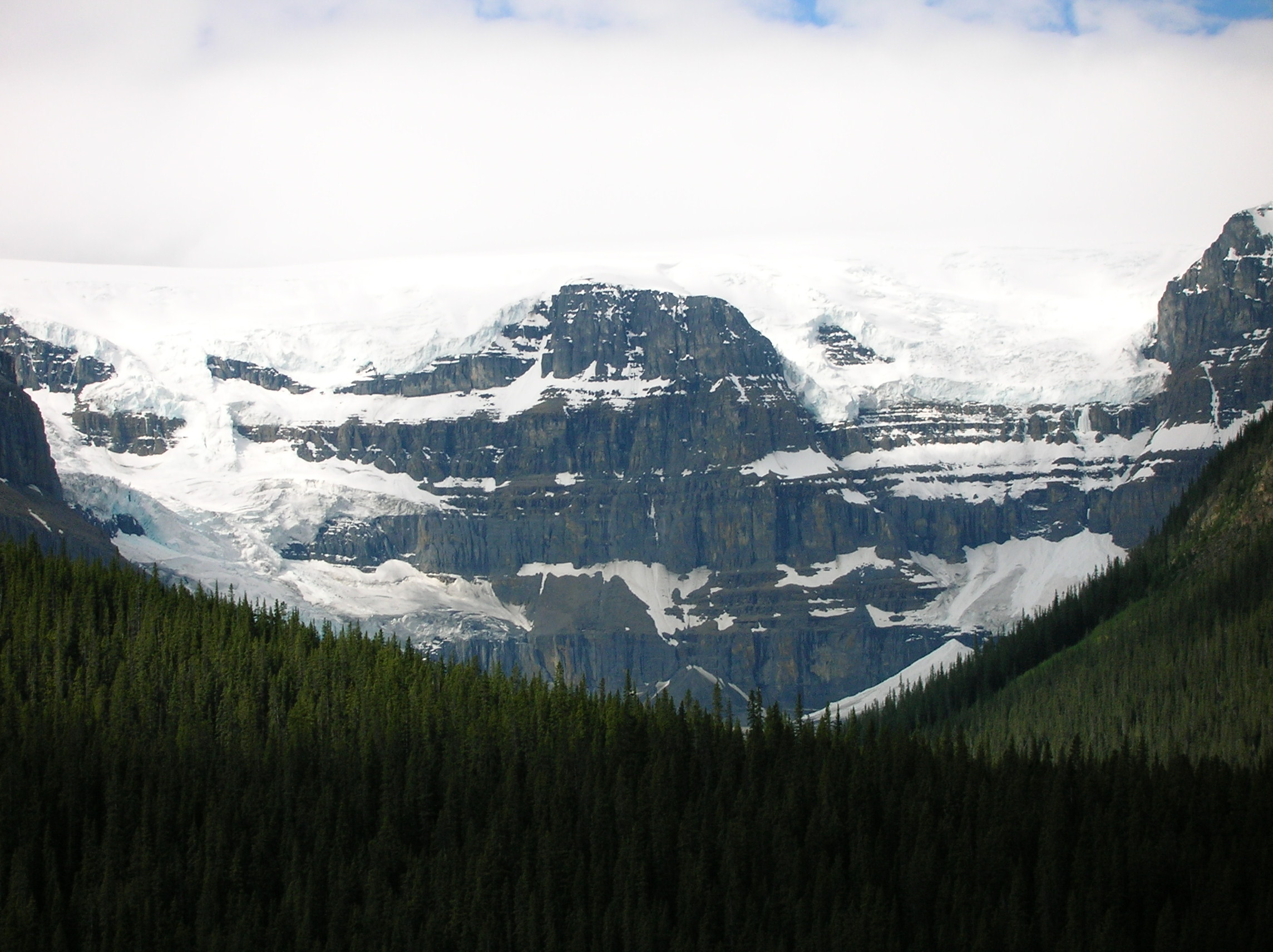
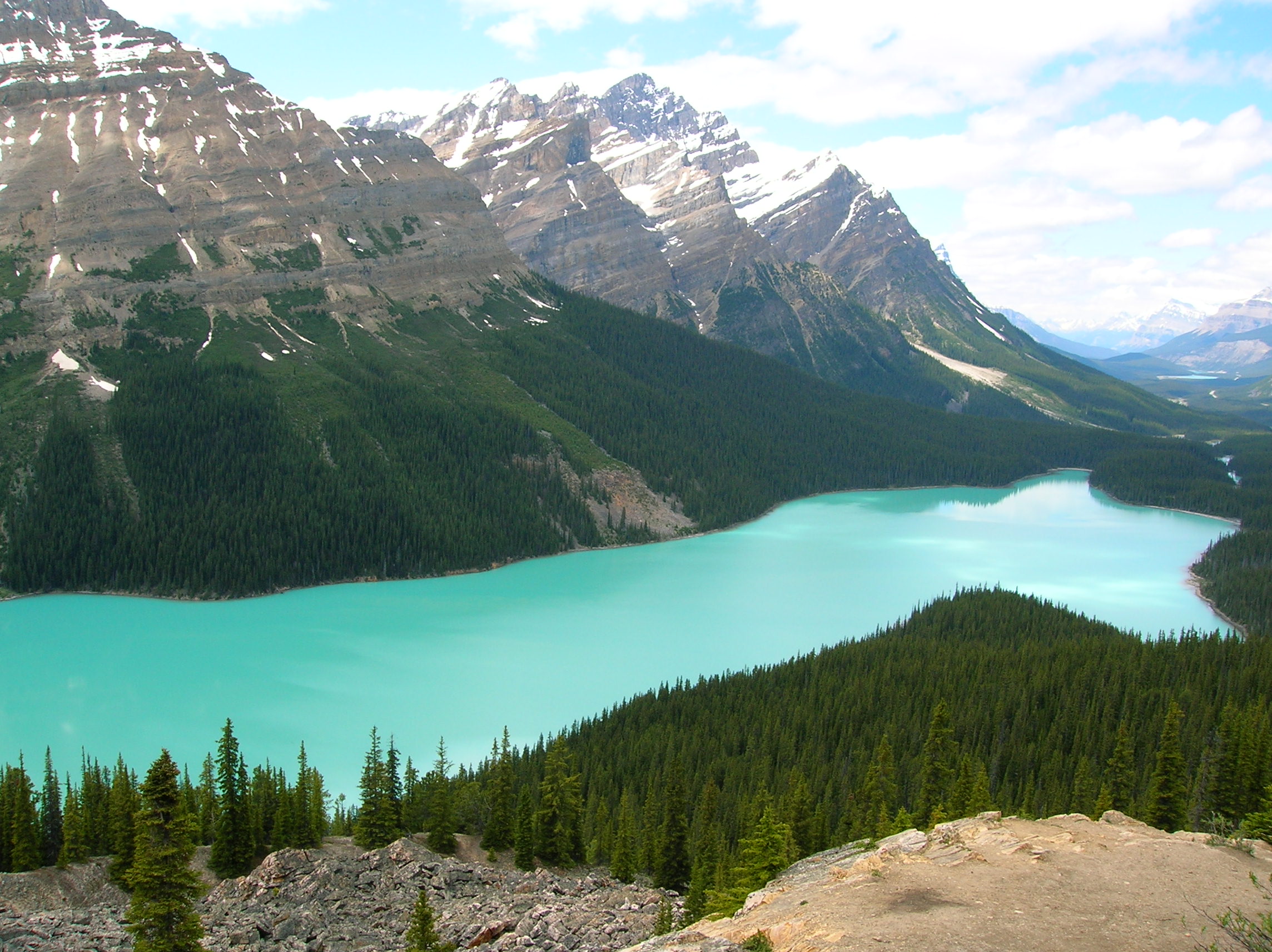
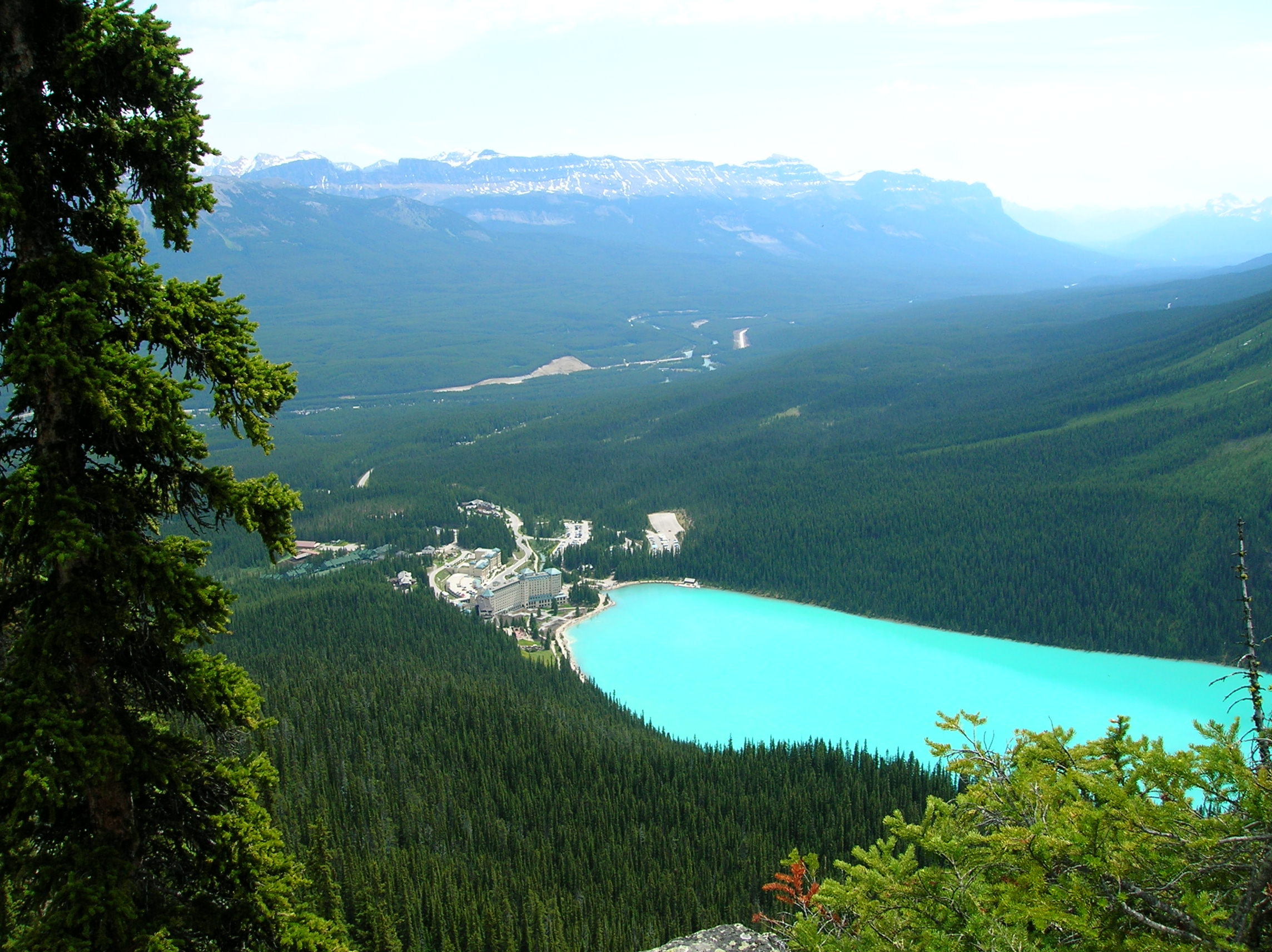
Mt. Rainier
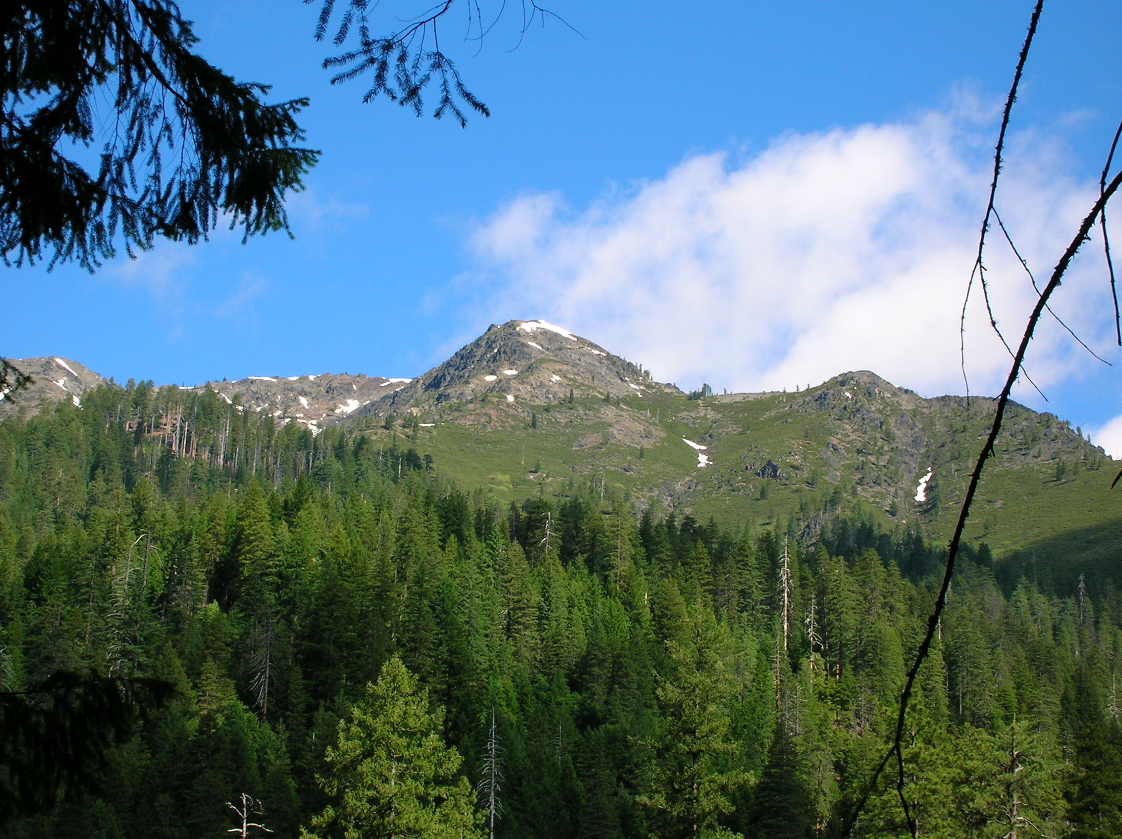
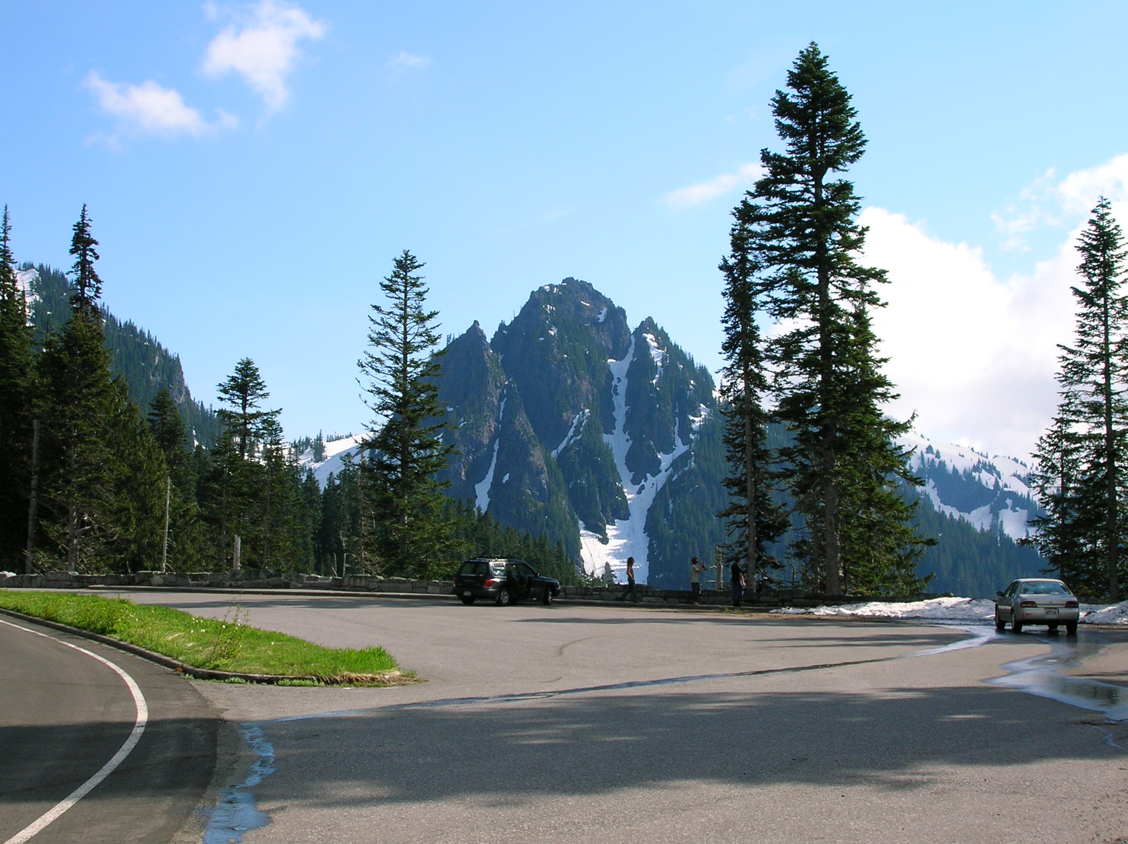
Day 5: Big Hike Day at Mt. Rainier
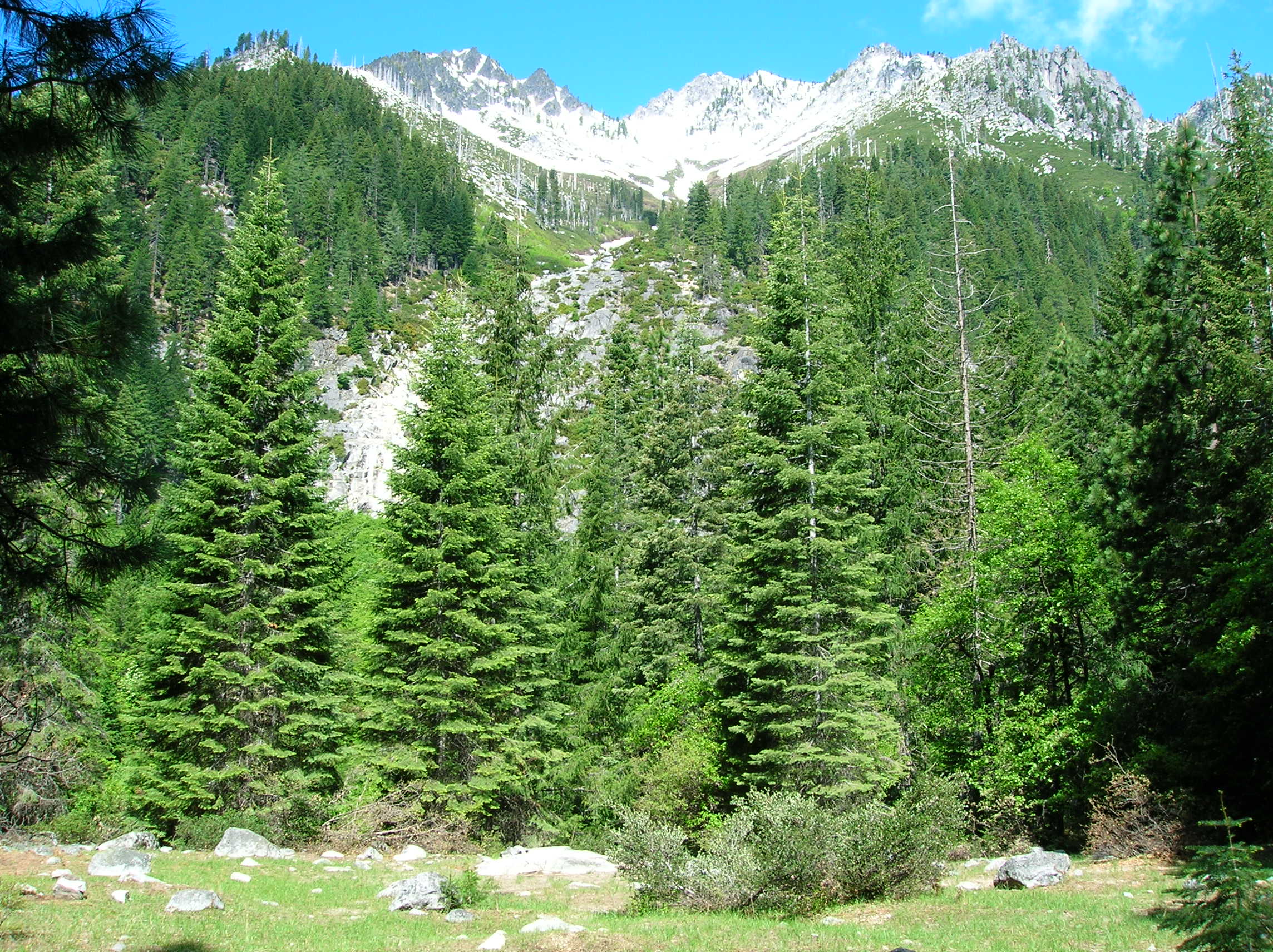
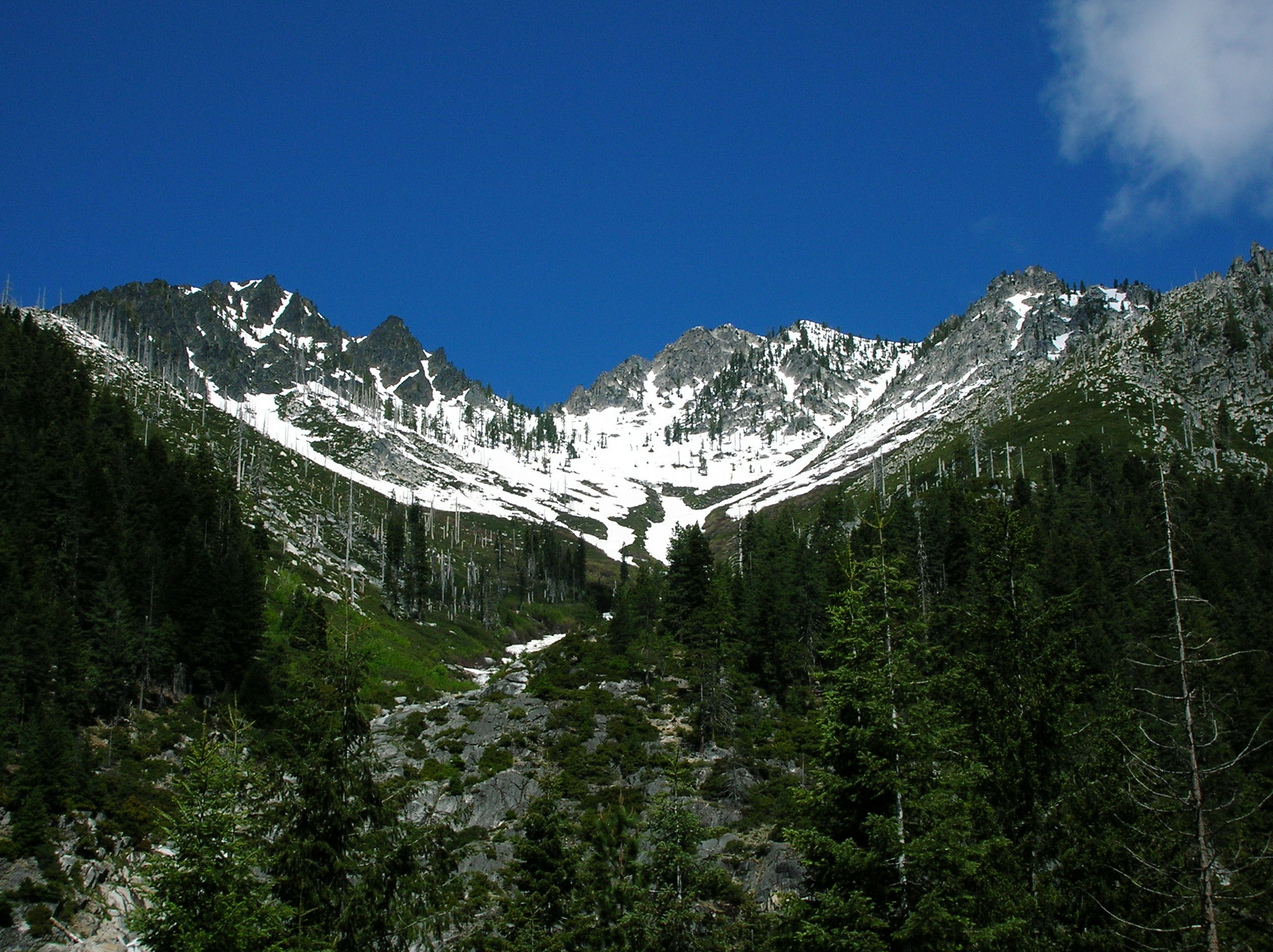
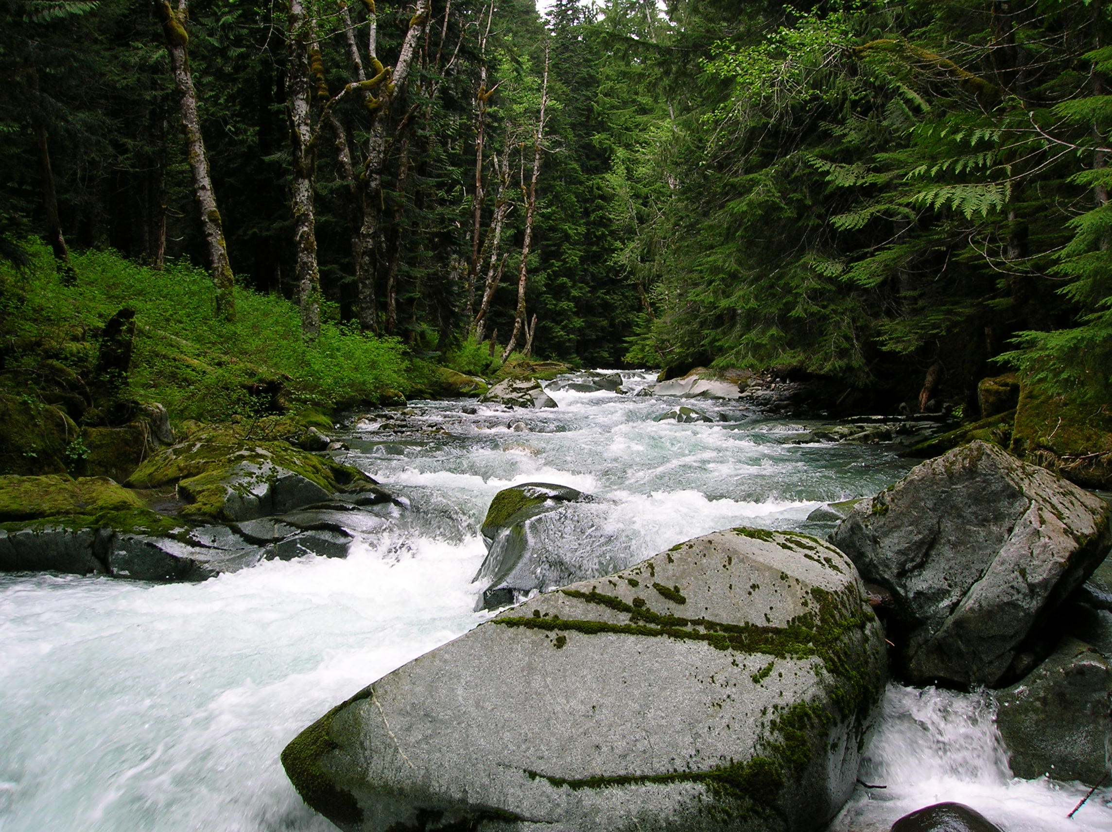
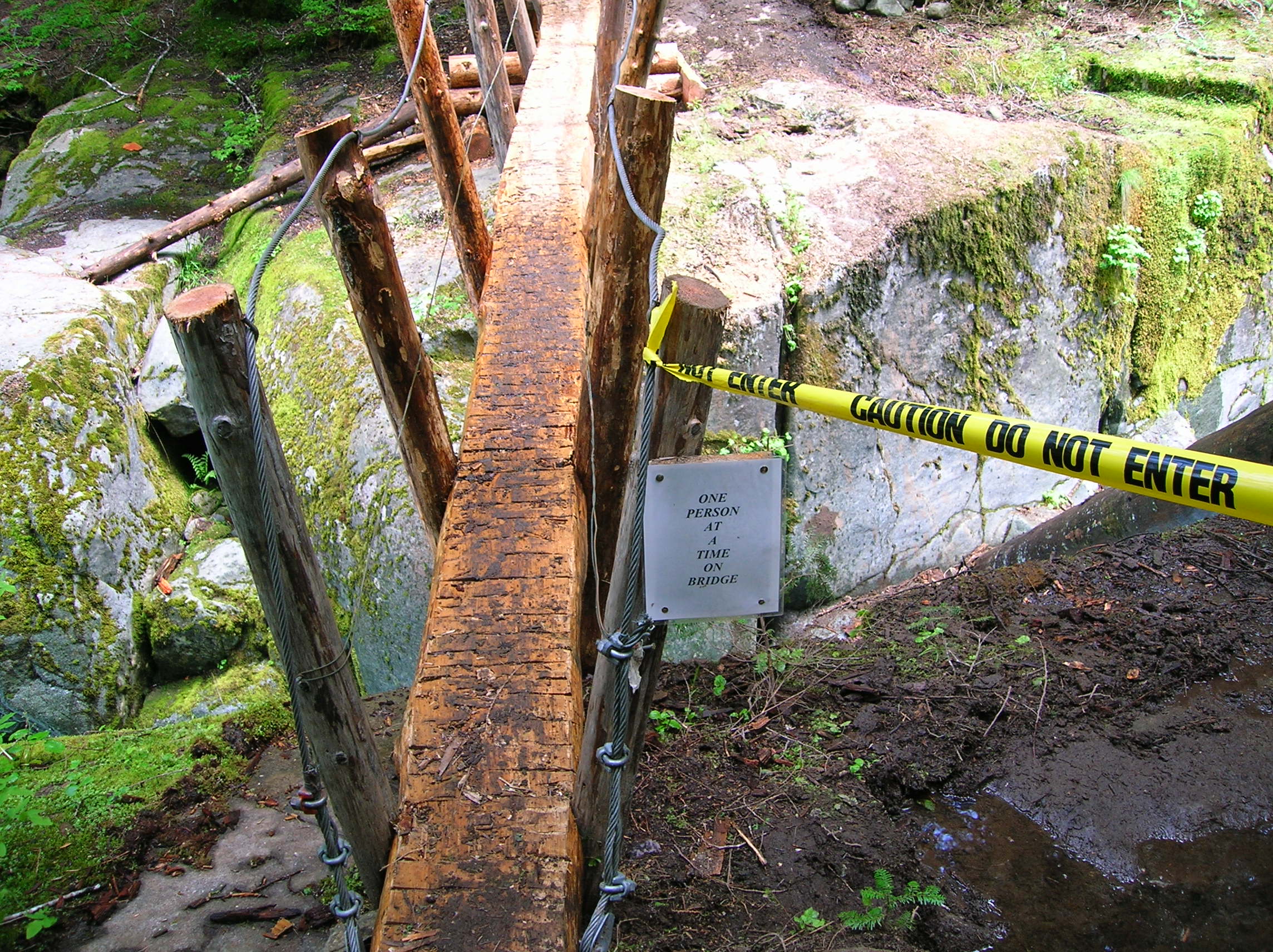
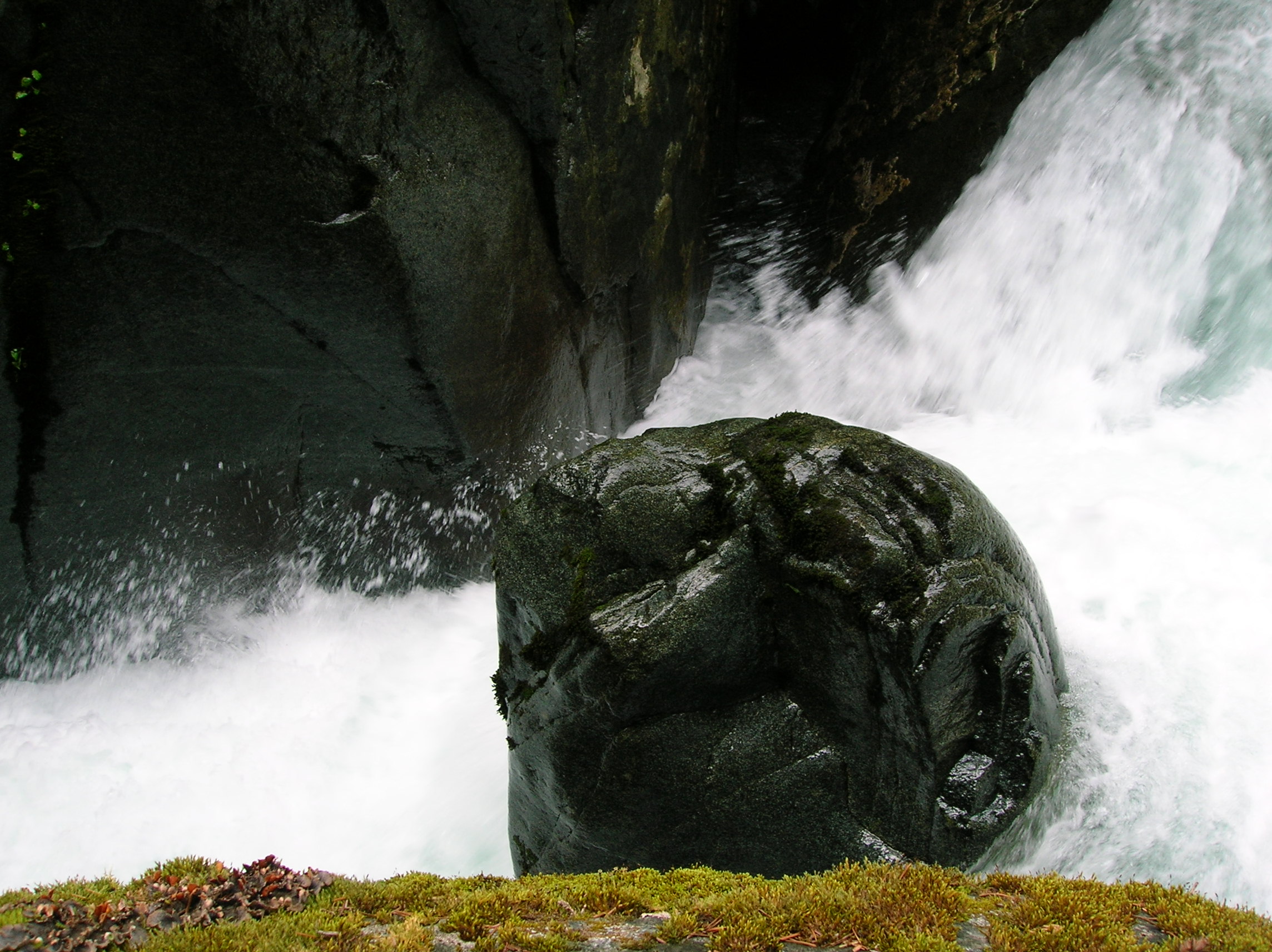
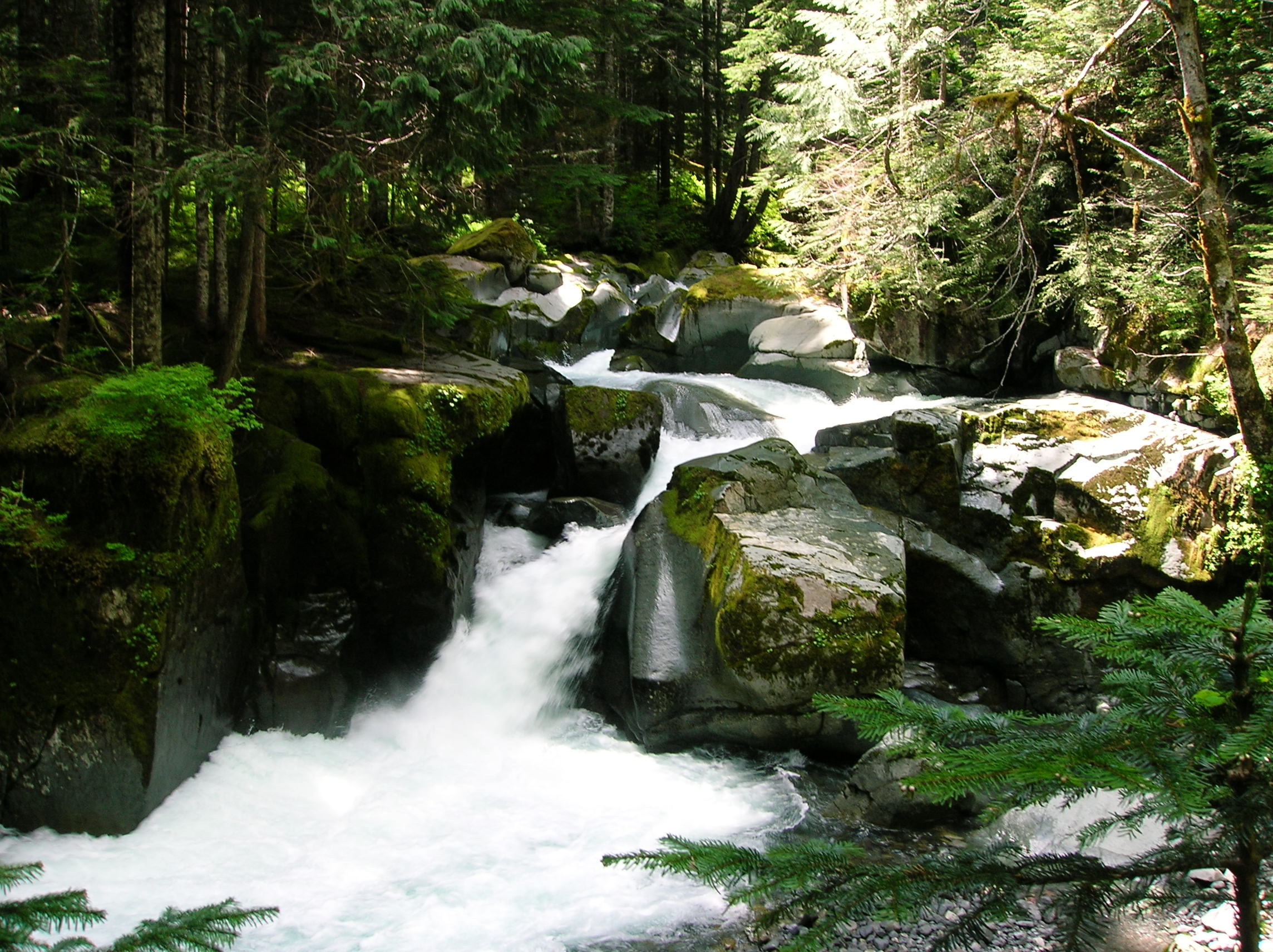
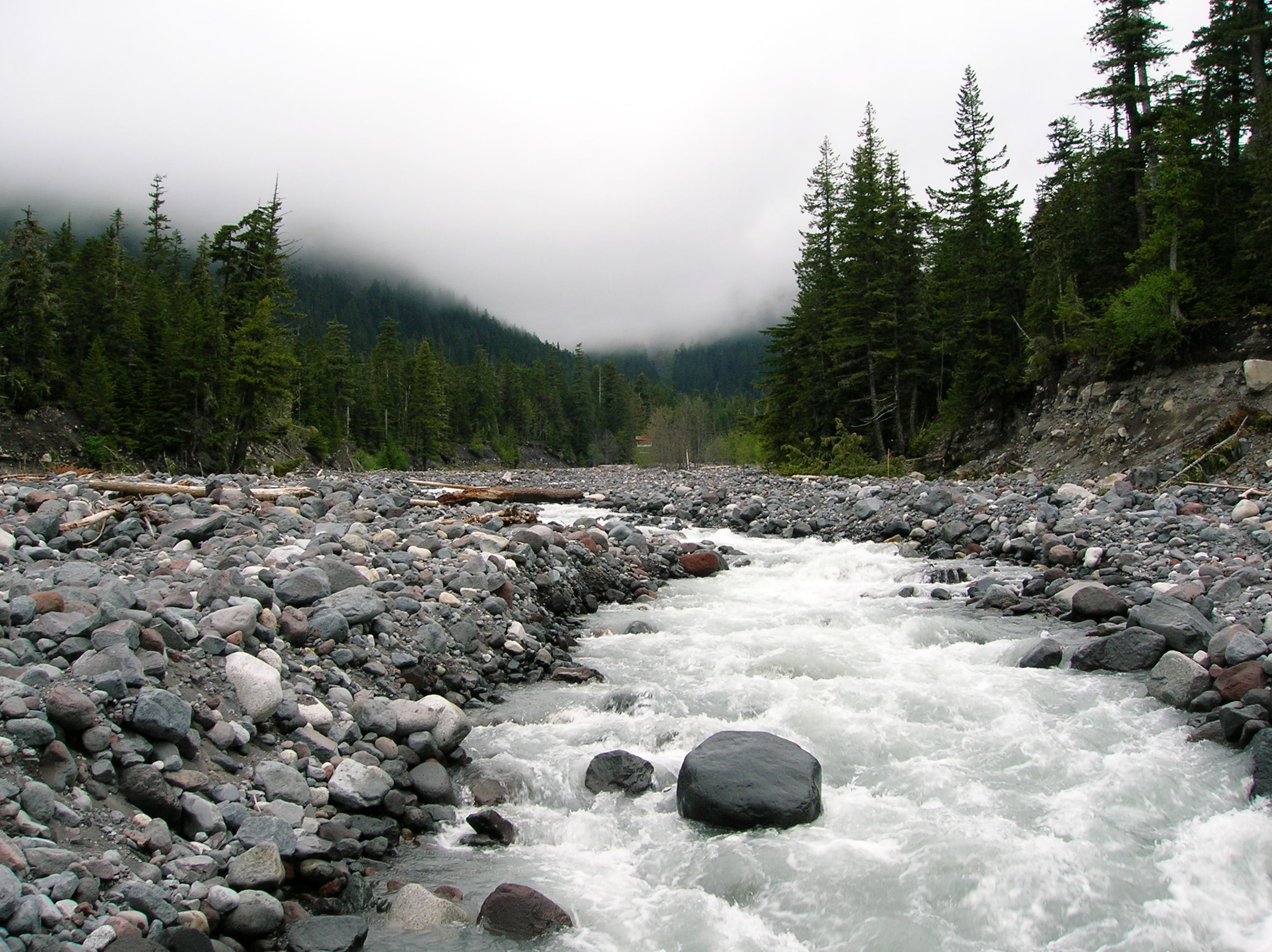
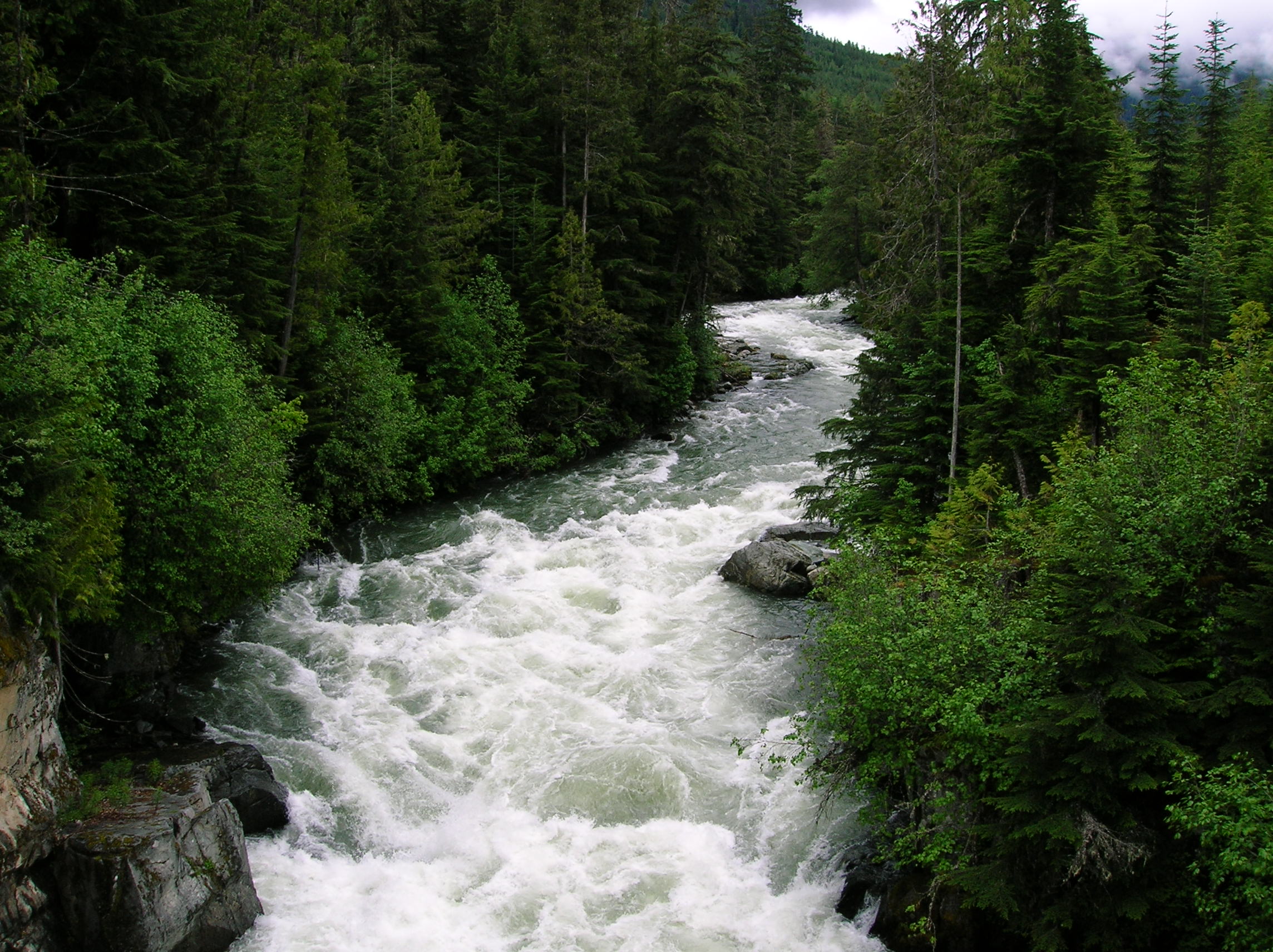
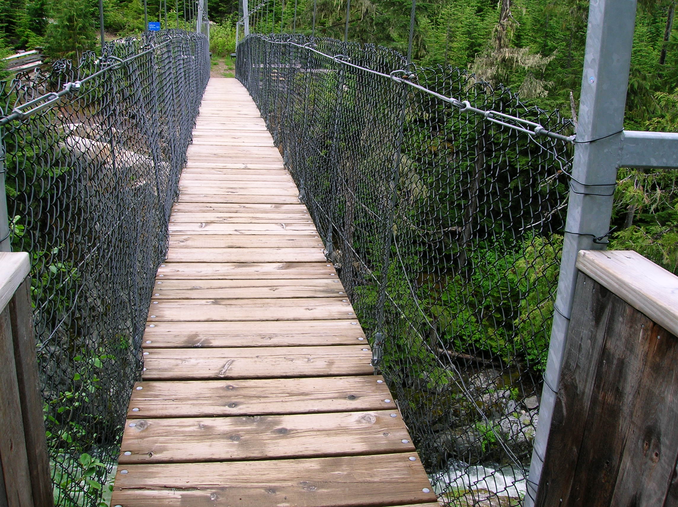
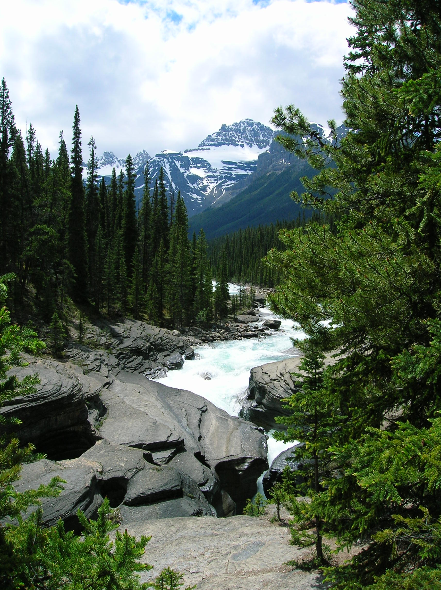
I woke up fairly early this day and headed over to the ranger station to inquire what hike to do, since the snow coverage limited my choices for doing anything the went to higher elevations. The result was a hike that started back along the road which I drove on the previous day and went down passing several waterfalls and ending at the slot canyon mentioned in the above entry. It was a bit cold this day with clouds, so I wore long pants, and unfortunately I forgot to pack my hiking pants so I was in jeans which would prove to be very uncomfortable as the day warmed up. Here's the first view of the first waterfall I encountered which was a major one and the mist was freezing on the little log bridge on the trail to cross the river it fell into which I have no picture of due to the mist being so heavy. The canyon opened up bit and the clouds clung to the side of the rock nicely. It was a pretty peaceful trail with few people. I came across an old-time ranger with a mega beard working on the trail staring off into the rocks looking for some big horn sheep or something and talk to him a bit about baseball since he saw my A's hat and he was a Mariner's fan. Little did he know the A's would have a 15 game winning streak against his team by the time I write this (8/17/06). Further on, a nice waterfall through the shadow of the trees. Here's video of it to get an idea of the flow. Fertile part of the trail. Look up at the side of the cliff with bits of falls from melting snow, and fog. Near the finish was an awesome river that carved a nice slot through the rocks with a very sketchy bridge crossing. I had lunch hear with the water rushing by loudly. Nice video pan from the bridge. I continued on about a mile to the slot canyon from yesterday when the trail hit the paved road, then reversed course. At the bridge, I went upstream a bit to take some more of this river in. And a self-timer shot of me clinging for life on the log-bridge. Got back to the camp about 4:30 for some quality hammock/reading/gin time checked out a bit around the campground and set up the chair viewing cougar rock as dusk fell.

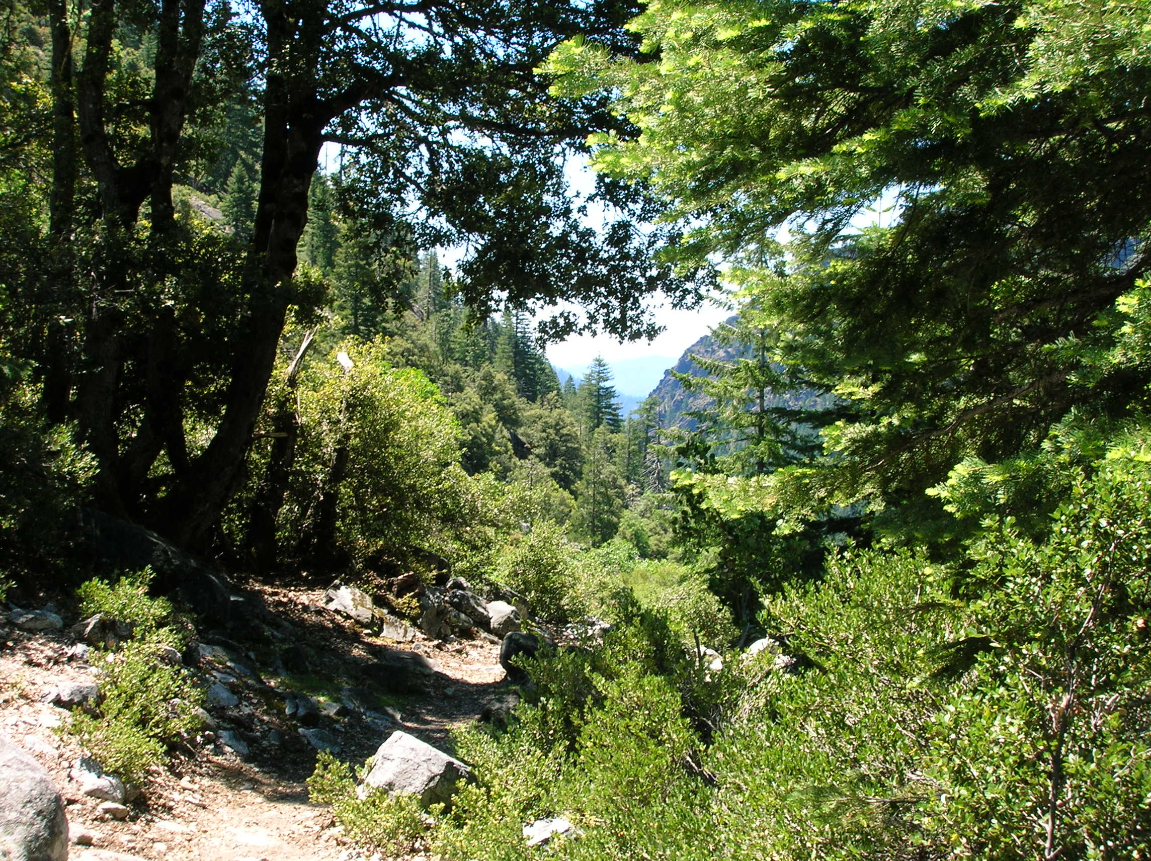
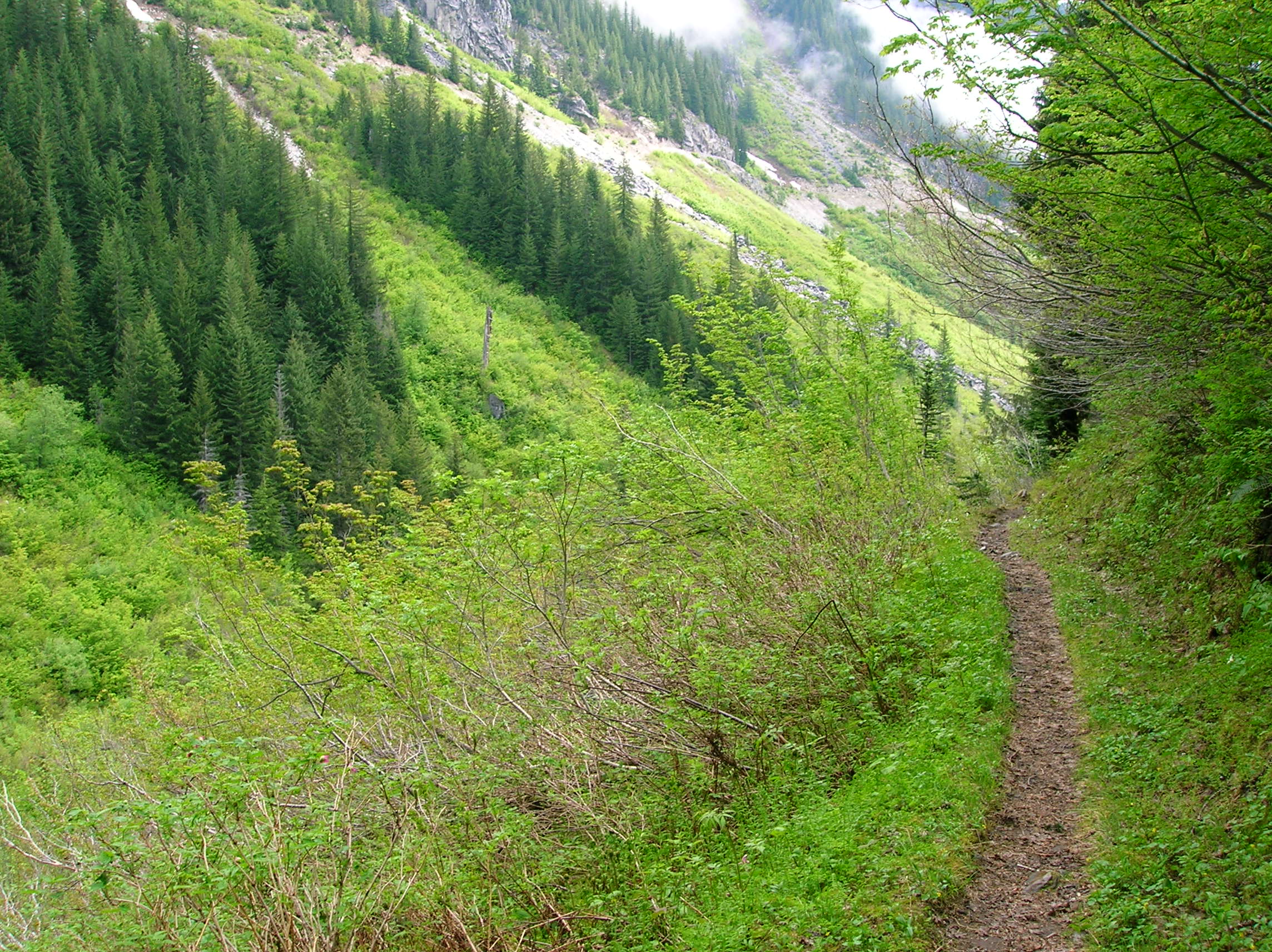
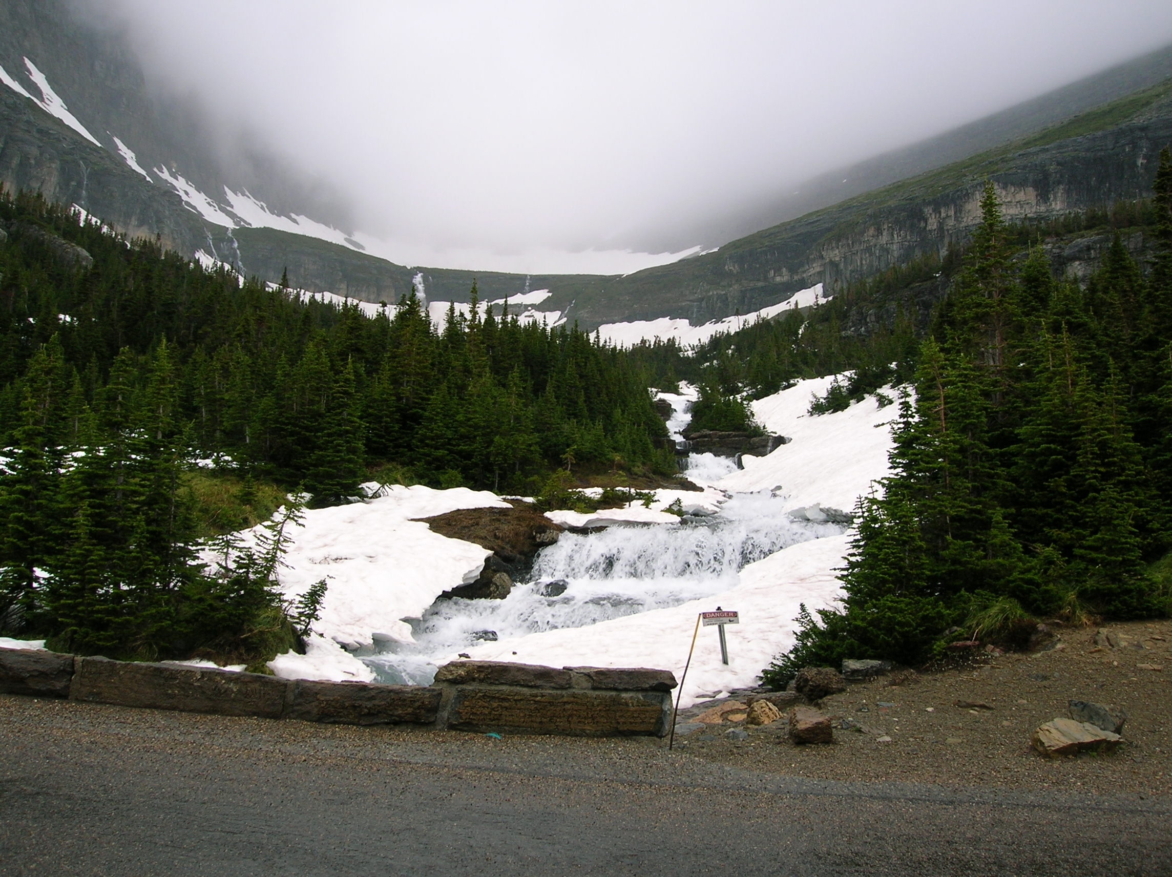
Lower elevation hike in Mt. Ranier Park
Day 6: Small Hikes Mt. Rainier and Drive to Surey, Canada
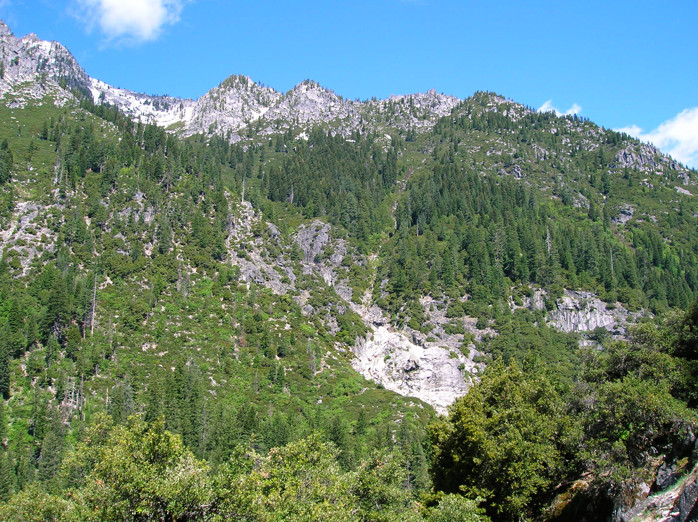
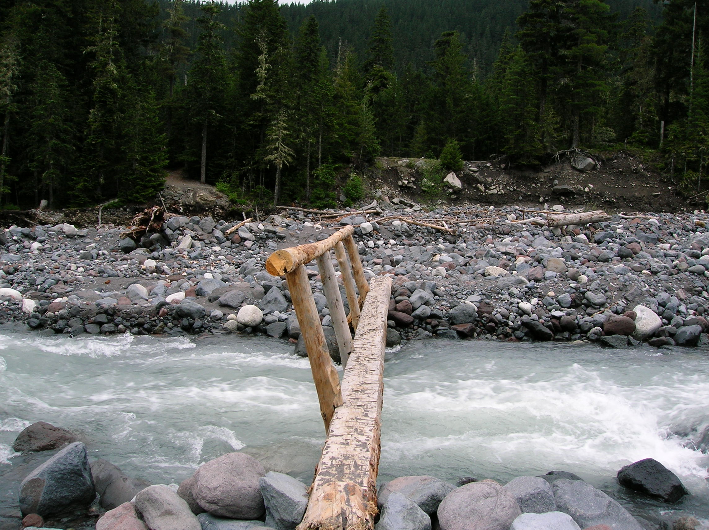
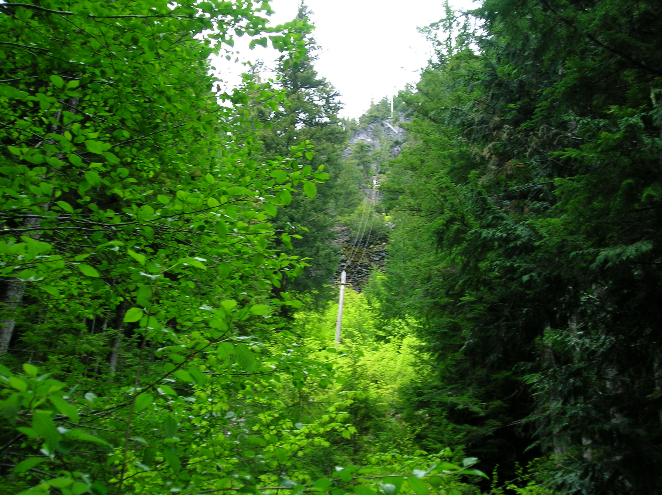
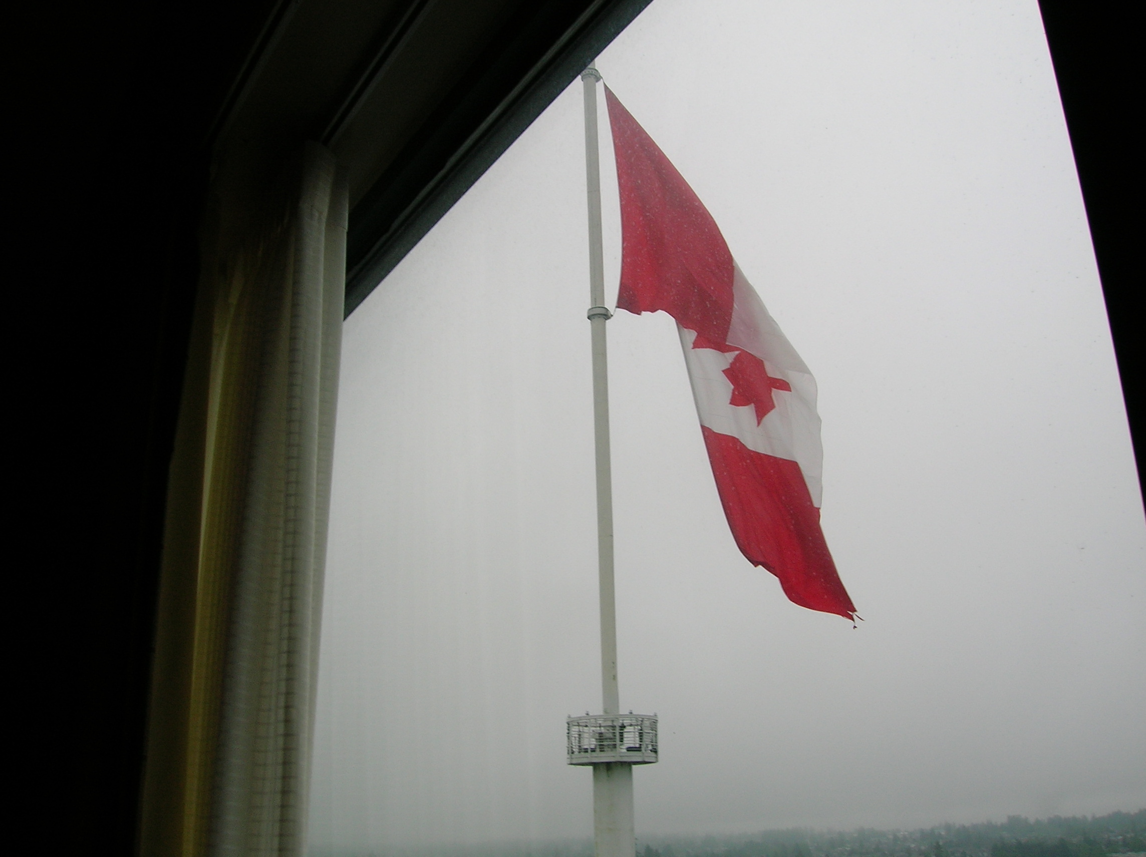
Since this day pretty much was only going to be driving and not that great of a distance, I felt I needed some more hiking so got packed up and started around 9 on a short trail to a couple falls on a trail right by the campground, Carter Falls (video) and Madcap Falls. Here is the start which crossed a wide open river of rocks. The water was all grey from the volcanic stuff coming off the mountain or something to that effect. I was amazed at the craziness it must have been to construct this electric line over the mountain. Then drove a bit towards the exit and did some some the Kauntz Creek trail, which I knew would be blocked by snow, but decided to do as much as I could. I had actually wanted to do this whole hike the day before but didn't since I knew the snow would stop me. It was pretty cold still at this time and not much sun unlike the previous days. As you can see from the first photo, there was a mega flood and slide sometime a while back that resulted in a huge amount of logs and debris at the bottom. Though it was cold, this hike climbed some serious elevation in short time which resulted in my getting very chilled from sweat. As usual, though, I couldn't stop till I was forced to by the presence of snow to turn back at which time it was both getting a bit late for my schedule to beat the Seattle traffic and I was really cold, so I ran down the trail back to the car making pretty good time, probably double the speed I went up. The trail was ok, but nothing spectacular. A nice workout, though. I was really nasty from sweat, so after getting in the car, I drove a bit towards the exit and turned off on some fire road where I was able to get out and change in private and towel myself off for the drive, which was nice. Leaving, I got a kick out of this volcano evacuation sign that lined the road as I drove on the road after leaving the park. The funny thing is that the last one of these signs I saw looked like it was leading you back towards the volcano, so I was curious whether people would really follow it should the worst happen. Rest of the day was just a drive (for audio commentary on this drive start around 15:00) but it was a lot worse than I expected since I got stuck in Seattle traffic and made a bad decision to stop at a Wendy's where the offramp had a big traffic jam due to construction and the Wendy's was really slow so I was getting pissed. Other items of interest on this drive which my memory was jogged of from my audio commentary was seeing a bumper sticker that read "God Answers Knee-mail" which I thought was clever and about 10 miles outside of Tacoma, this dump of a town that had a bar with a giant sign reading "Bar Opens 6am" and next to it a place with "$1 Chinese Food" which the 6am drunks probably appreciate when they are down to their last bit of funds after a day of drinking. Also saw the sign referenced in the Fun Facts section. Passed Boeing's field where they were testing some jumbo jets, had a sketchy guy try to sell me a hubcap at a gas station, had my apples confiscated at the Canadian border. Got a bit lost in Canada because I accidentally came through the wrong border crossing which messed up my mapquest directions. Finally figured out how to get to my Sheraton hotel I had a free night for (from some credit card deal) at in a sad town named Surey outside of Vancouver. This place was about 20 miles outside of Vancouver, yet it called itself Vancouver Sheraton which I felt was a scam, though it's my fault for not looking to see how far outside the city it really was. Fortunately was in time for the last 30 minutes of appetizer hour which my free room got me and this place had sodas, a computer with Internet, Swedish meatballs, shrimp har gow, and some other sundries. I was pretty scummy since I had to go before my shower and I think the attendant might have thought I was sneaking in because she checked my name to make sure I was supposed to be there. Room had a nice bed, but the room really smelled perfumy which bothered me. Giant Canadian flag as seen outside room on 20th floor. Had some vodka, read the Globe and Mail reading about some big Canadian Terrorist plot thwarted and then went to bed.
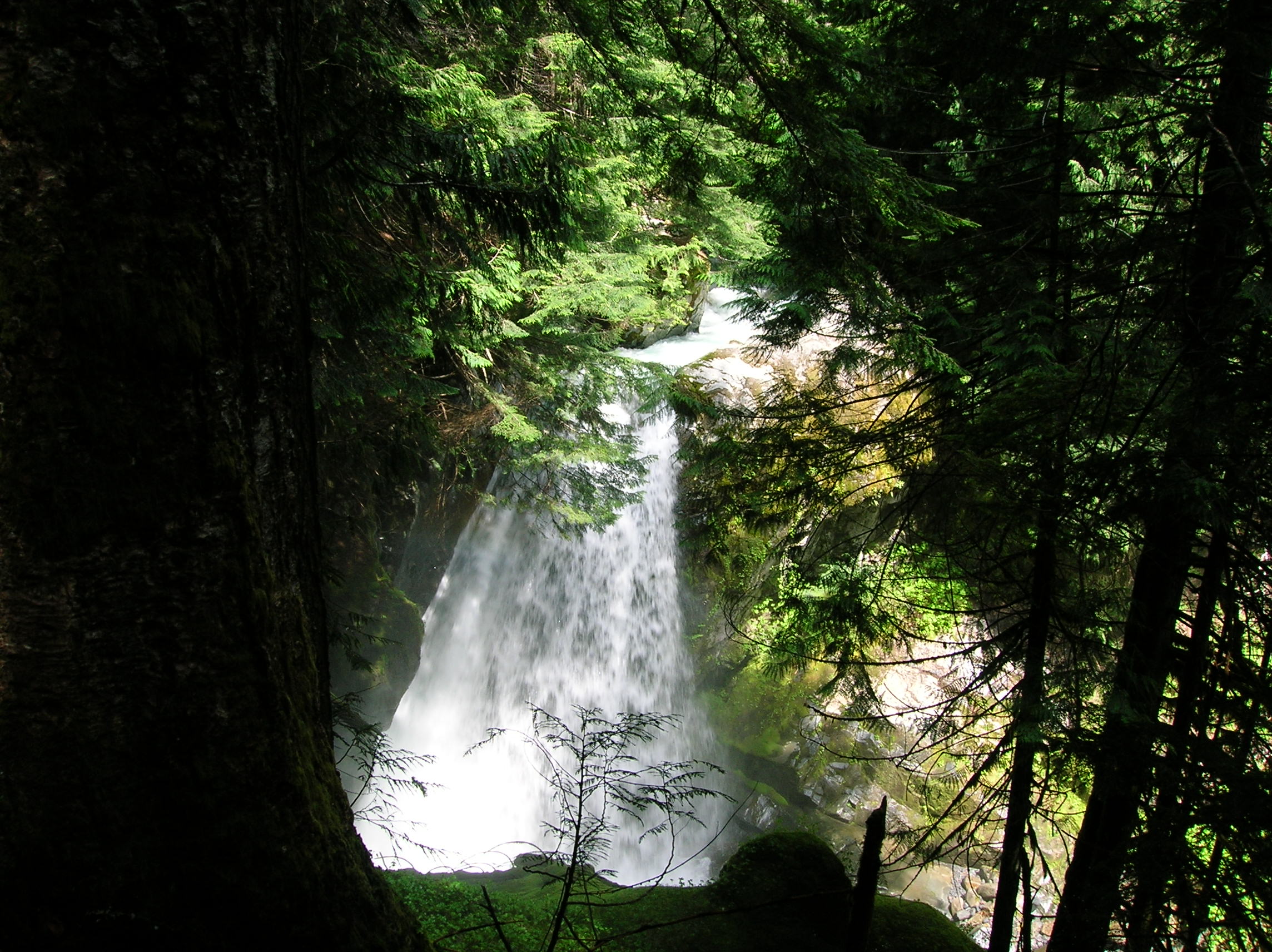
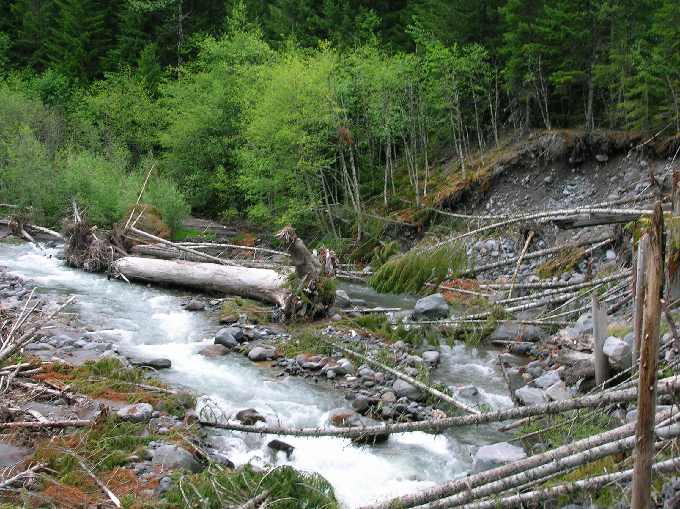
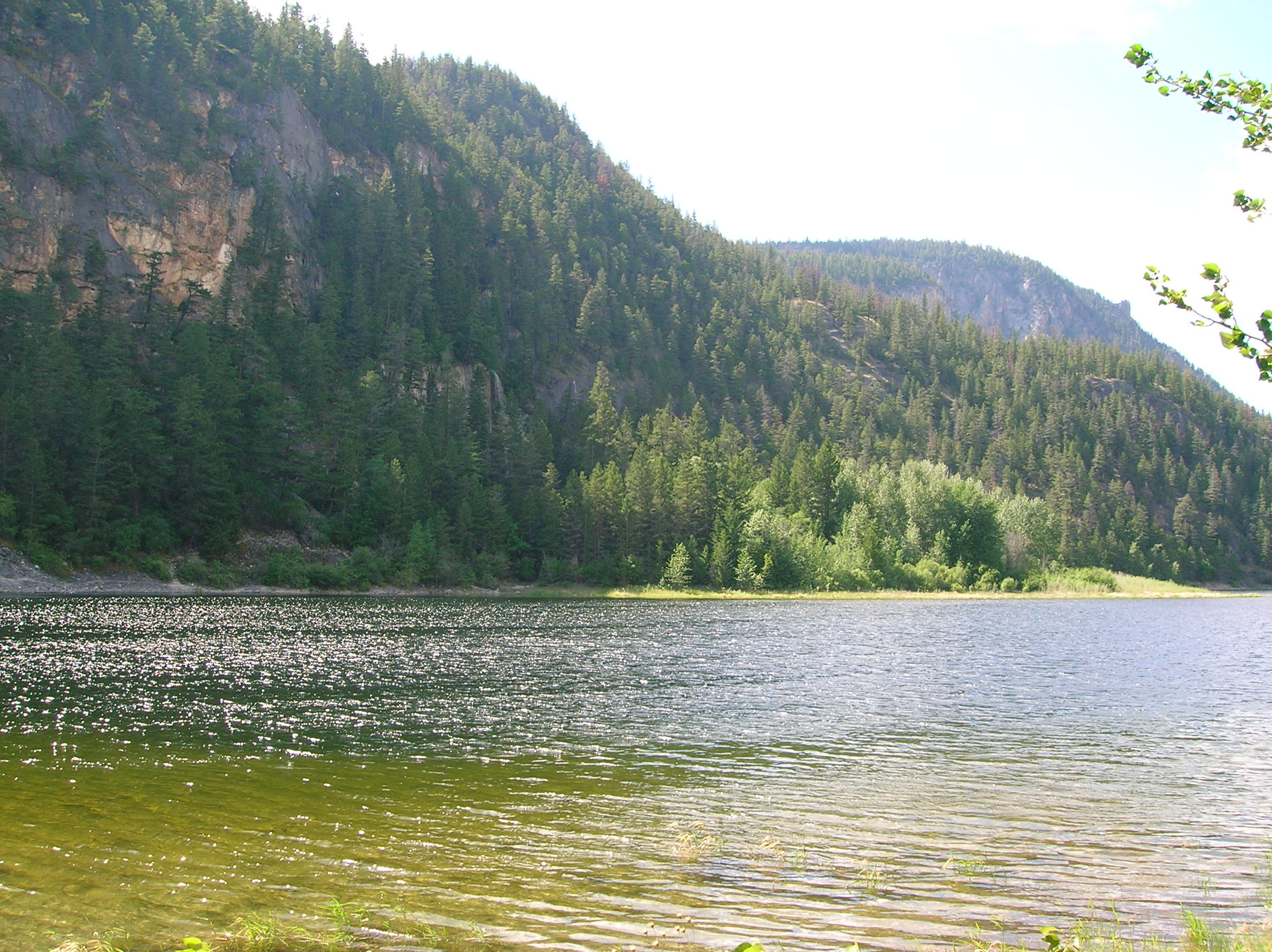
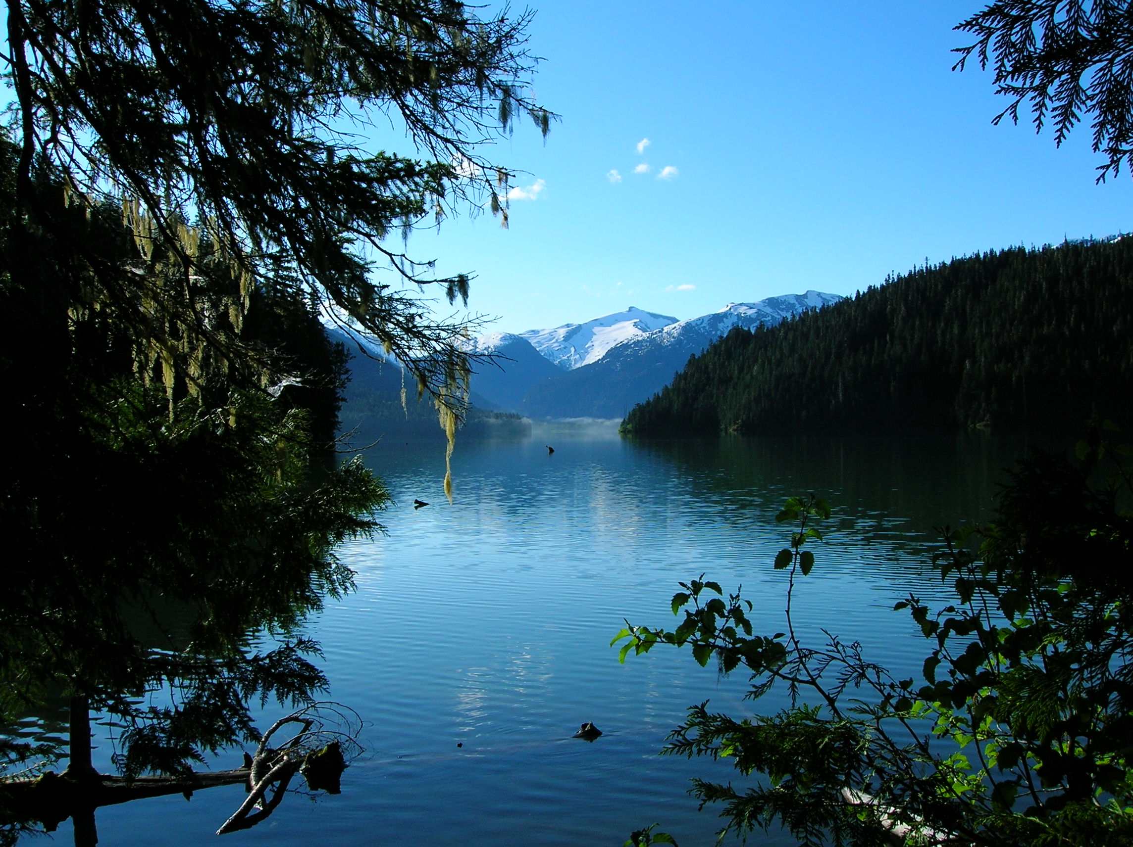
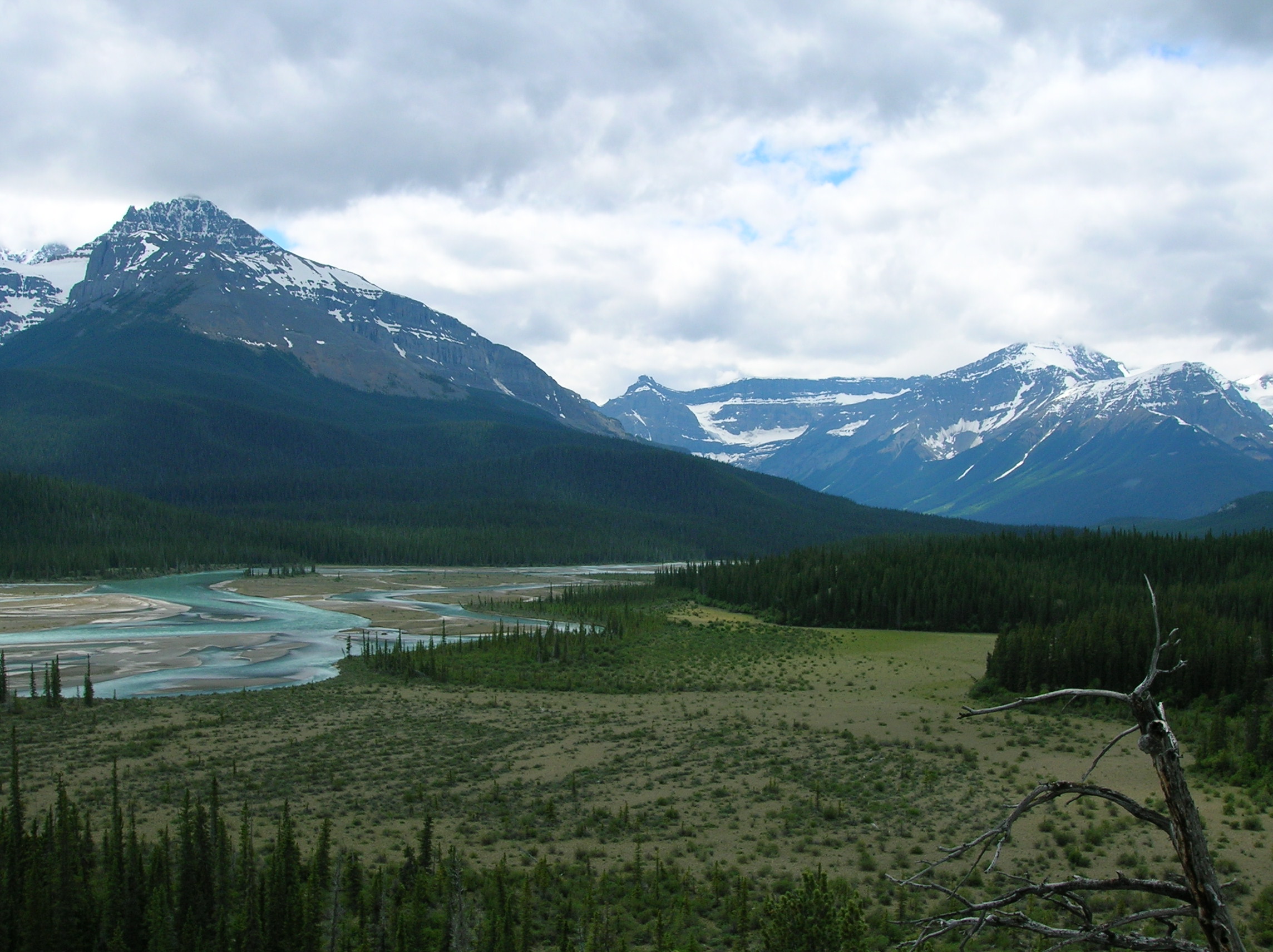
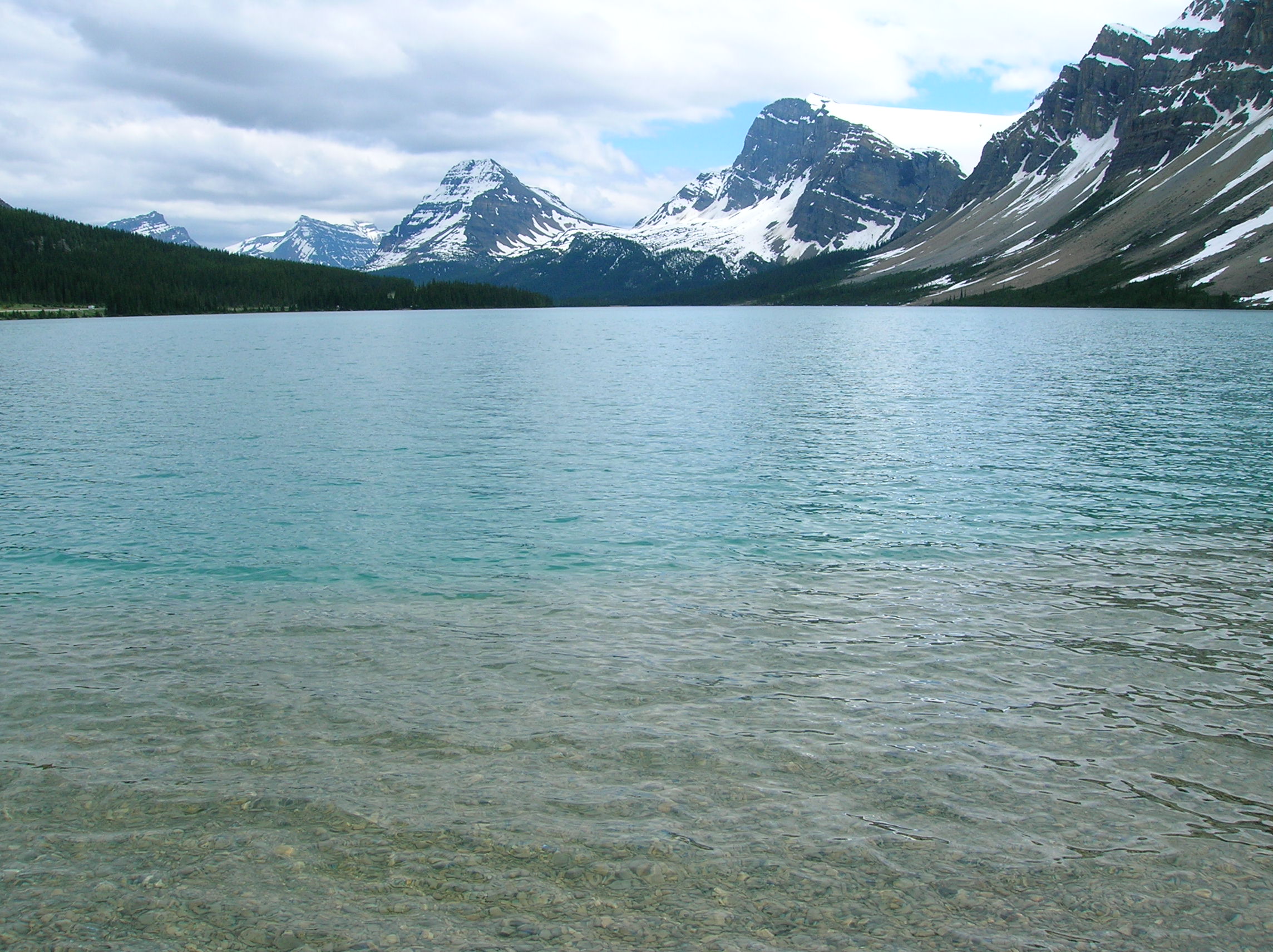
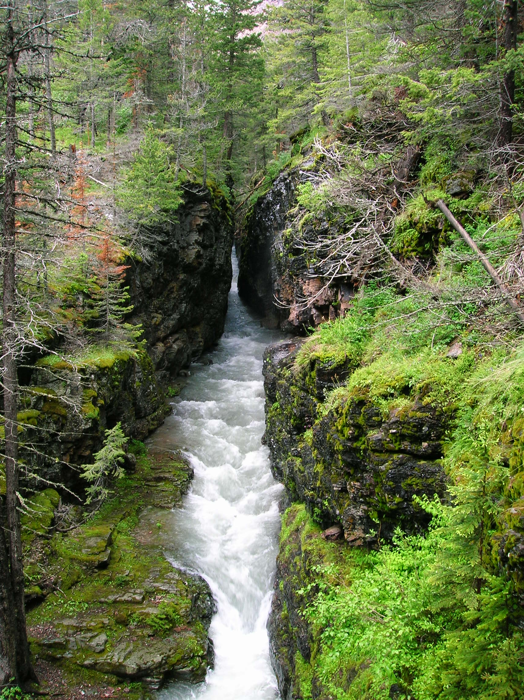
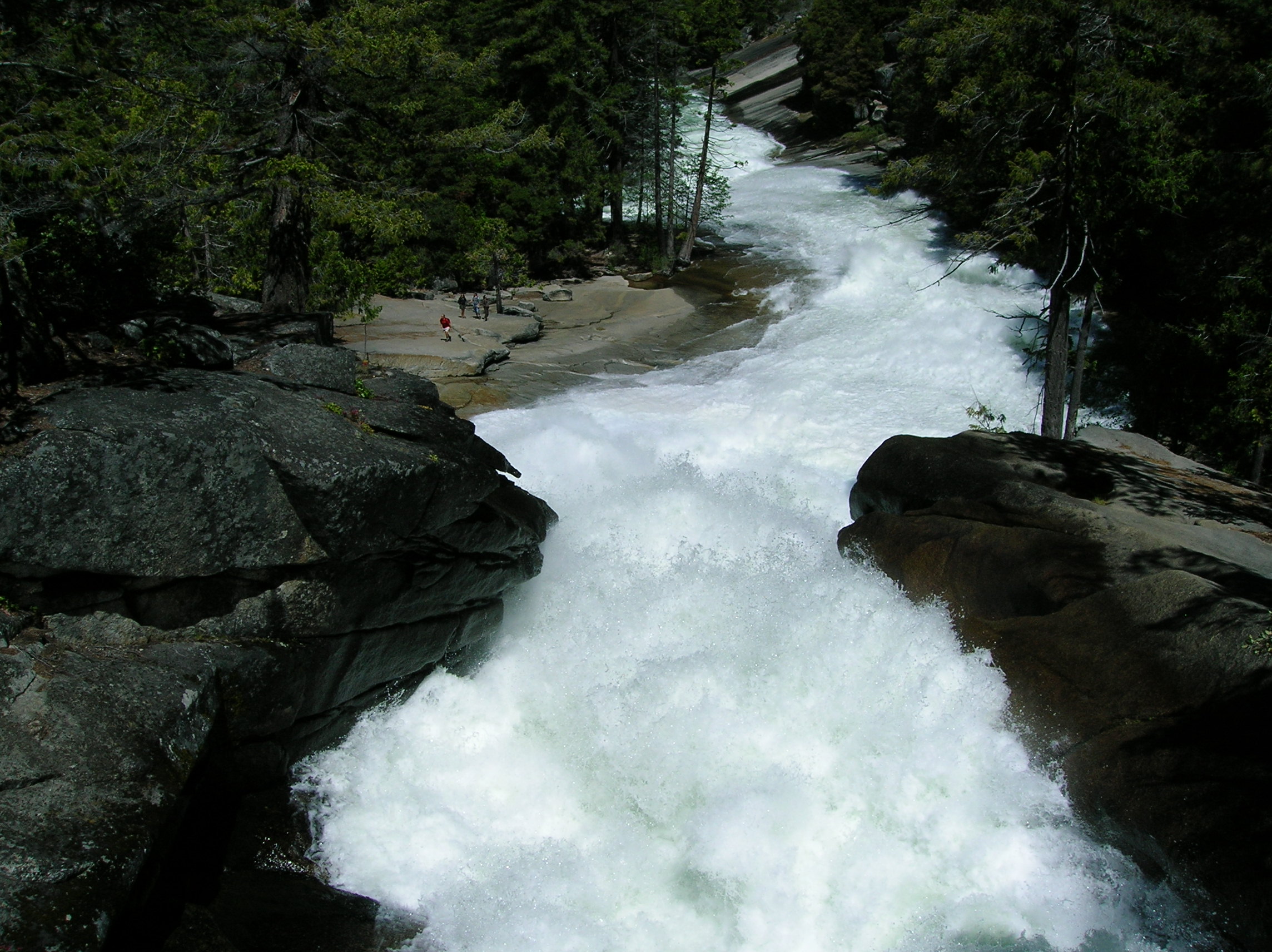
River in Mt. Rainer

In case of trouble...
Day 7: Drive through Vancouver, up to Whistler area to camp
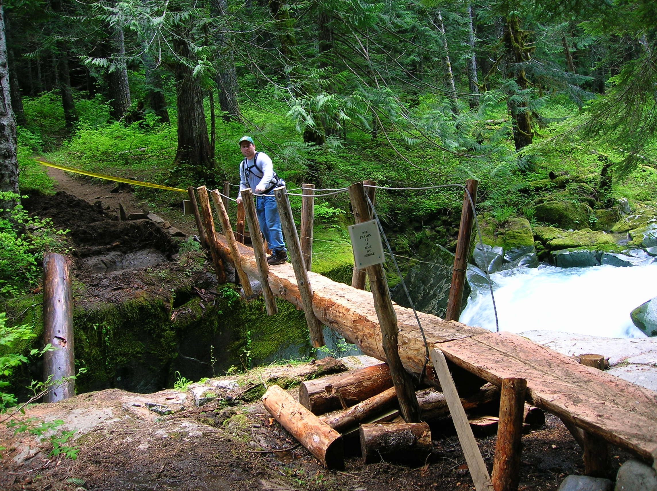
Had a few cereal bars and loaded up the car which I had parked on the street and had to move before 10am, which was fine since I wanted to check out Vancouver a bit before continuing north. I drove the 20 miles or so in moderate traffic and got off at an exit that took me through what seemed to be a very long Chinatown and then through the business district a bit. Interesting, but nothing noteworthy, except that I found it cool that the residential complexes were so close to the downtown, so people could actually get to work quickly living in the city unlike the majority of people in San Francisco. I drove around Stanley Park, which seemed very nice and woodsy, but didn't really get out and see anything since it was raining and I wasn't in the mood anyway. Drove around town randomly a little more and then headed to the main highway out of town towards Whistler. The drive was very scenic going along the ocean with sharp rocks to the left; the nickname of this road was the Sea to Sky highway. The highway people were blasting in a bunch of places to expand the road which I'm sure gets really packed during winter. There were some ferry stations too along the way going to some islands, I recall. My plan for today was sort of open, but based on my research, I was hoping to hike in 2 miles to camp by Checkamus Lake, a section of the Garibaldi Provincial Park. I drove for a while and was looking for some food to stop at but never did see anything that met my needs for being something quick. Drove past the turnoff and checked out the Whistler ski area which was not that impressive with no snow, but the village had some serious money in it, I could tell. I went back south and took the necessary turnoff and drove down a dirt road for a while, taking a short hike through damp woods to this fairly impressive river which had this nice bridge to cross. However, I turned back since I wanted to get to my camping destination and there was a chance of rain that day. It was a bit chilly as well, more so than I anticipated even being up at 915 meters, which is high for being so north on the globe. I continued on the dirt road about 10 minutes more and reached the trailhead. The road wasn't too bad in condition. Since I hadn't eaten, I made a sad tuna fish sandwich on the roof of my car. It took a bit of time to gather my stuff together for camping since I wasn't outfitted for backpacking so I had to figure out exactly what I needed and the best way to carry it all. The hike was a little over 2 miles, downhill, and in the shade mostly, but I still worked up a sweat carrying all the crap awkwardly. I wanted to bring my chair down so I could read some and that thing was pretty heavy. When I got to the lake, I set up my tent, making sure the fly was fully operational since it might rain. I went to explore along the lake a bit and saw a small bear scurry off the trail towards the water which freaked me out a bit. The camp had bear lines to put your food up which I used and I heard bears frequented the area so I decided to make noise while walking from now on. Back at the camp site, I sat in my chair sipping some liquor I can't recall and reading my Steven King Tommy Knockers hard cover book. The view from my chair of the lake from the trees at around 4pm, which shows the ominous looking sky. I had worn a bad shirt too and I had sweated a lot on the hike down so I was freezing even in my sweatshirt. I had my dinner of sad canned chili and a Snickers and went into the tent shortly after dark as it was getting too cold. In the tent, I was still a little cold and had to put on my wet socks because my bare feet were getting cold. It wasn't too bad, but not comfortable. Luckily I had my ski hit with me. There also were some strange noises and a tree branch fell on the tent which startled me in the night. My biggest fear was that it would rain because that really would make things miserable.
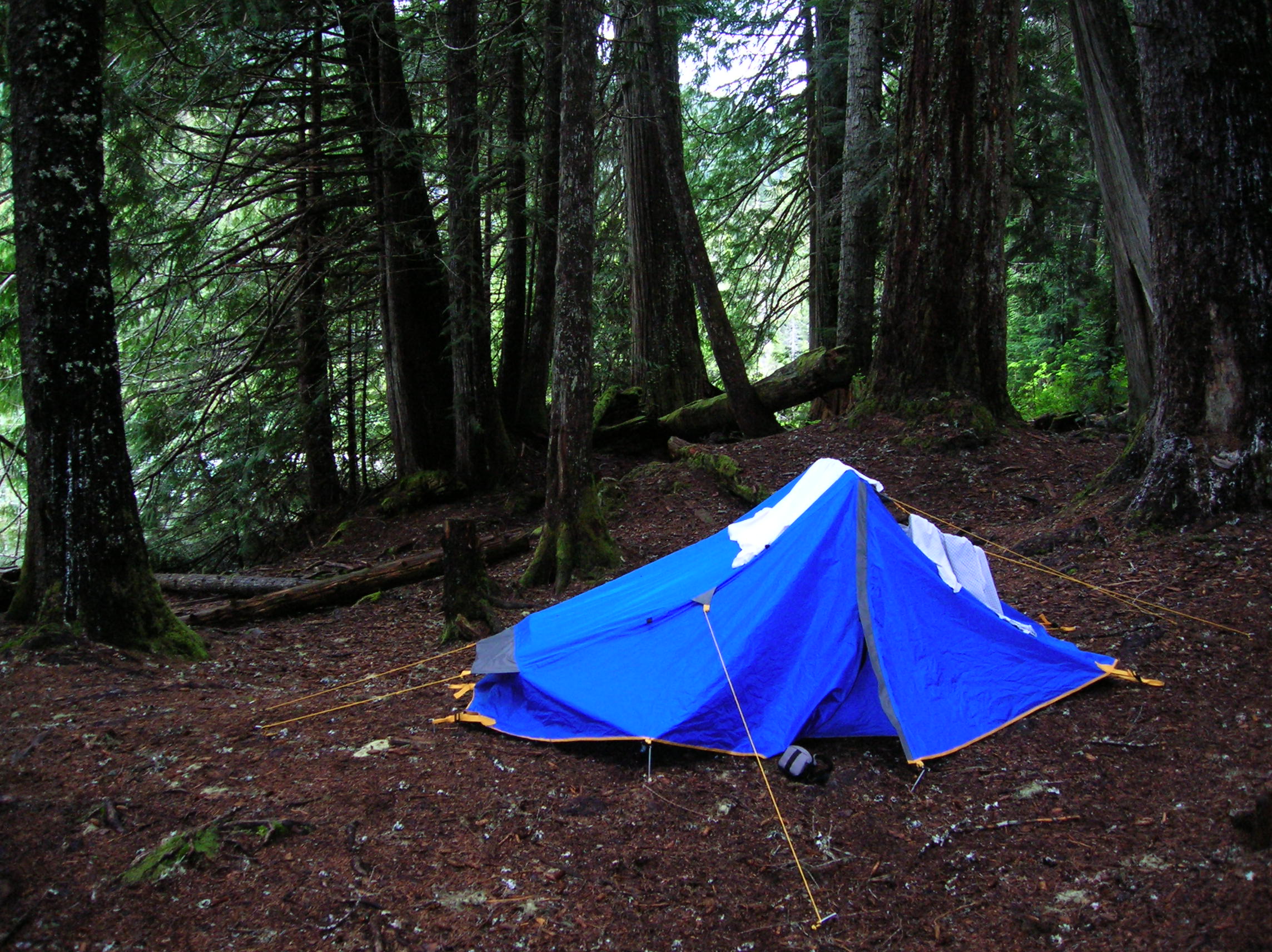
Sad tent in camp
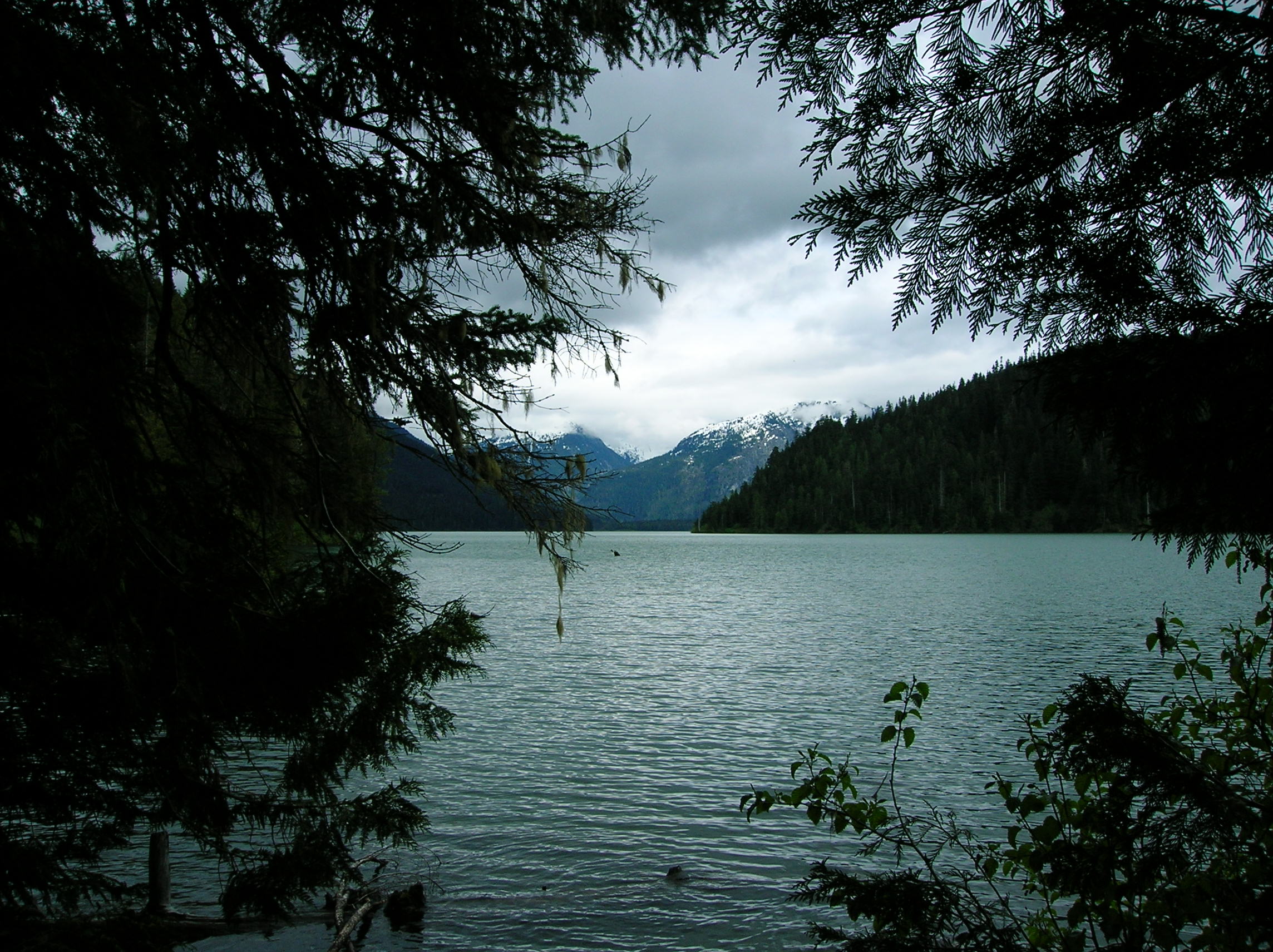
View of Checkamus Lake from Camp
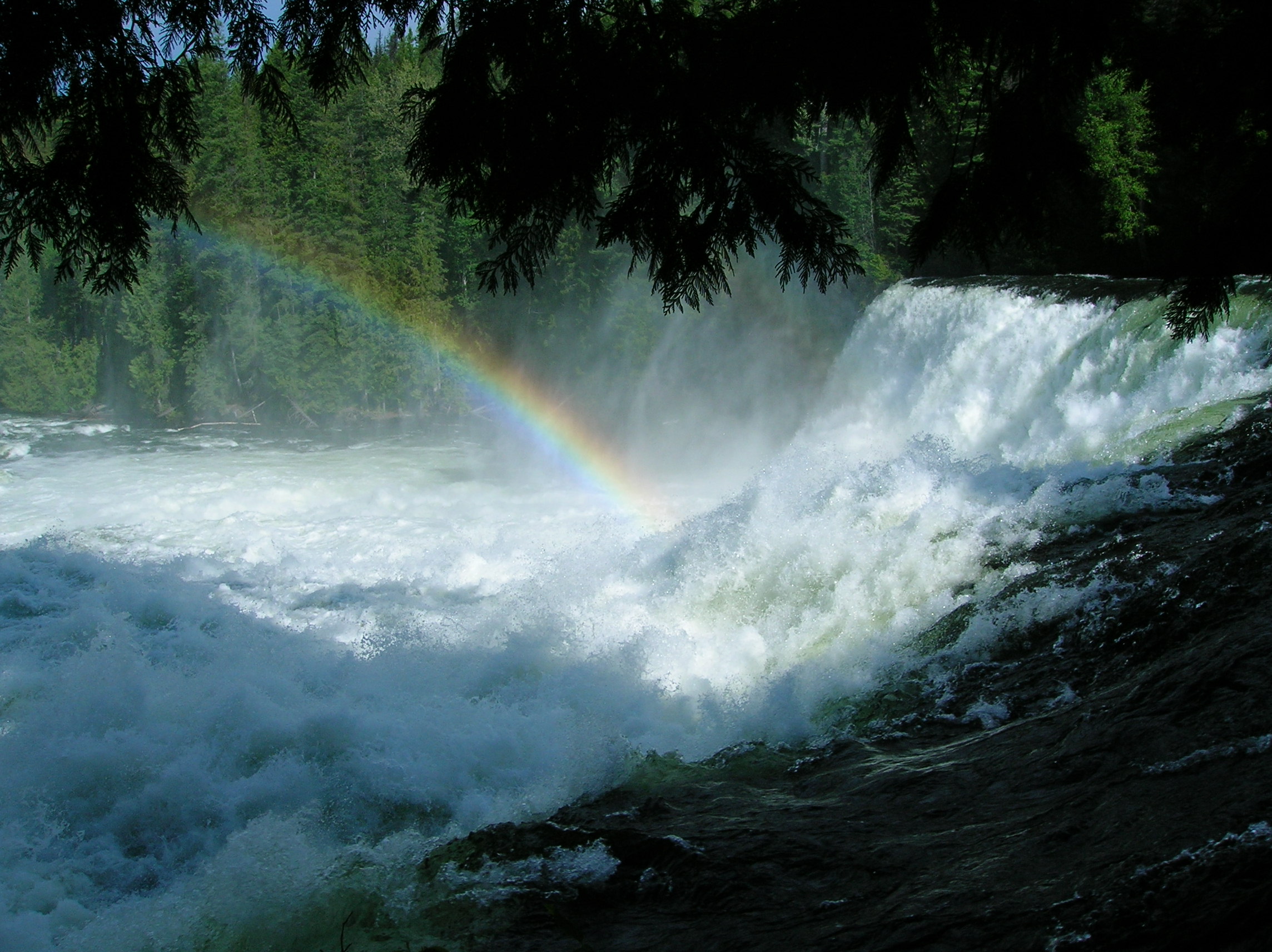
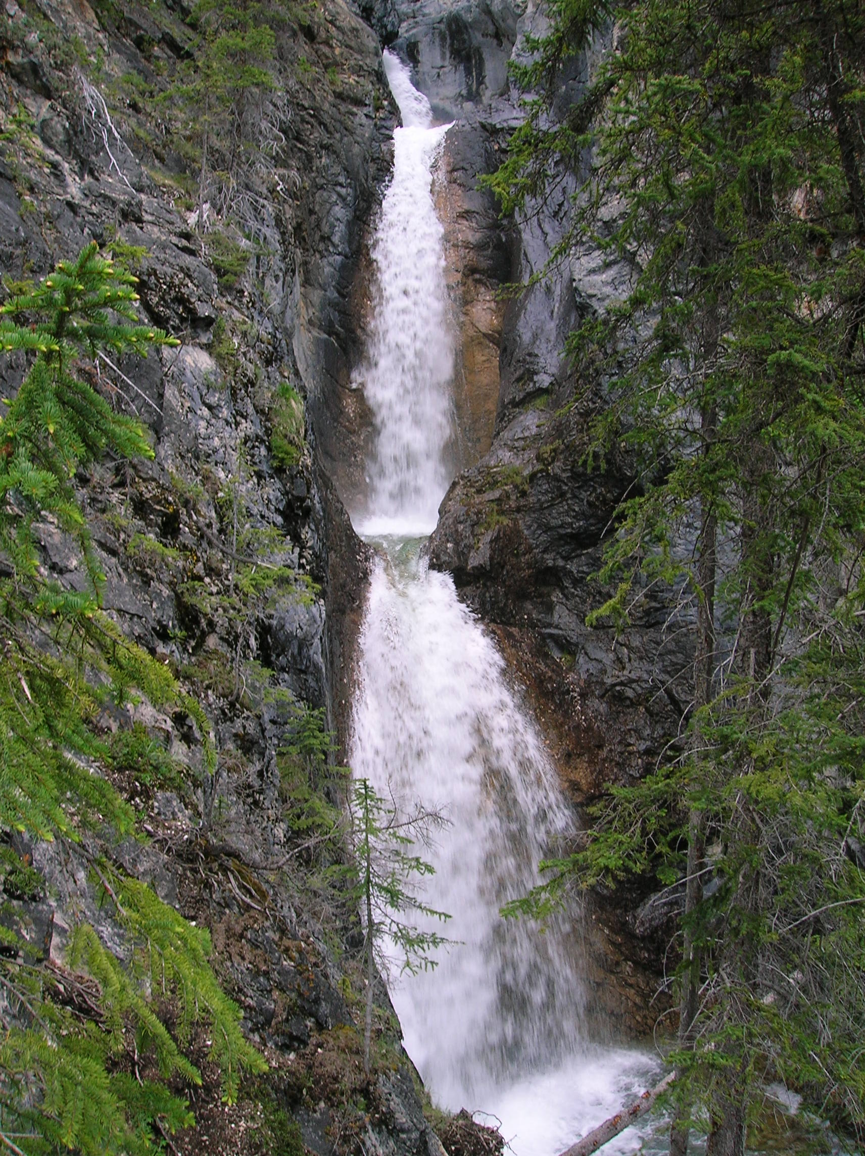
Day 8: Lake Checkamus via Nairn Falls Park to Somewhere near Wells-Gray Park
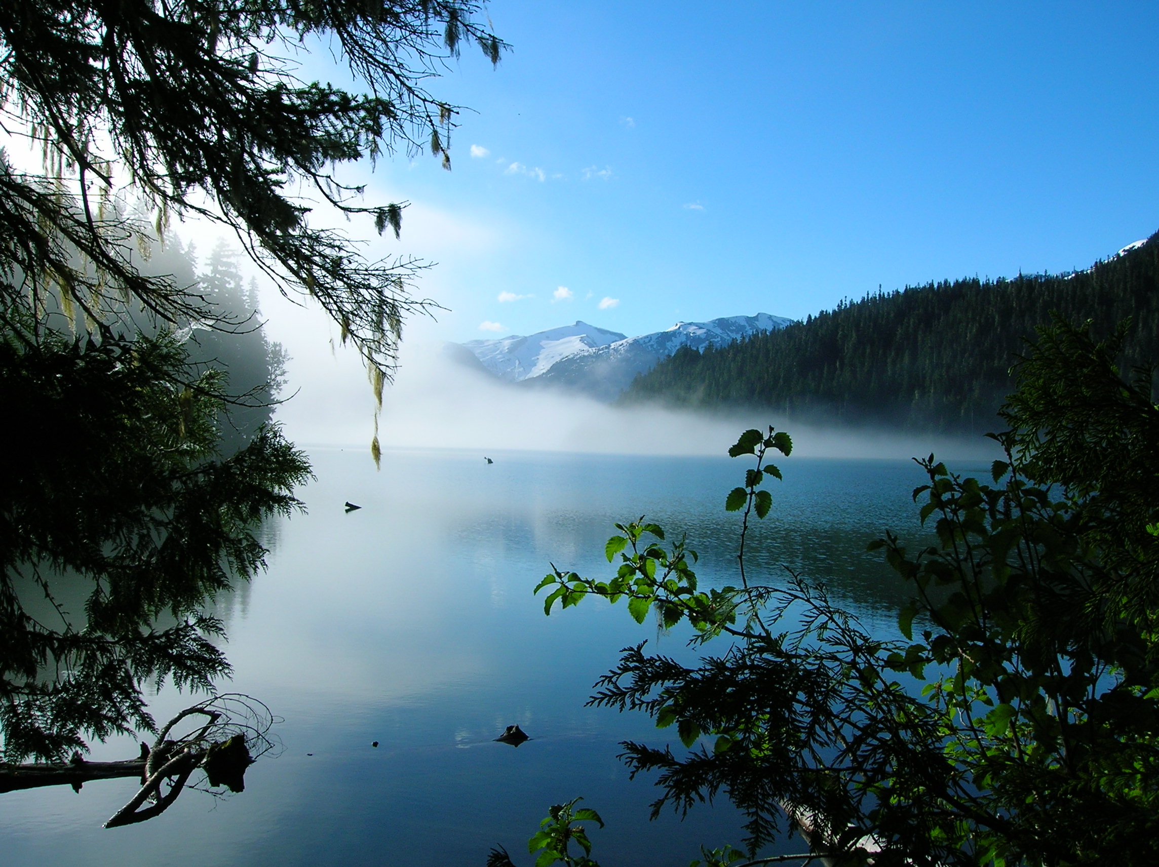
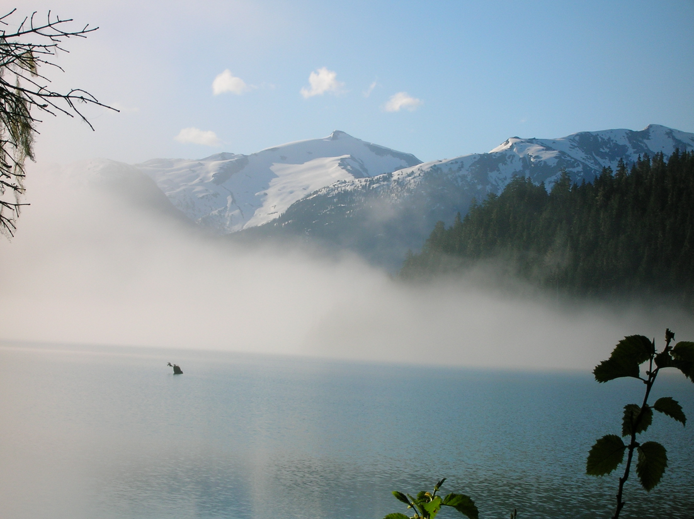
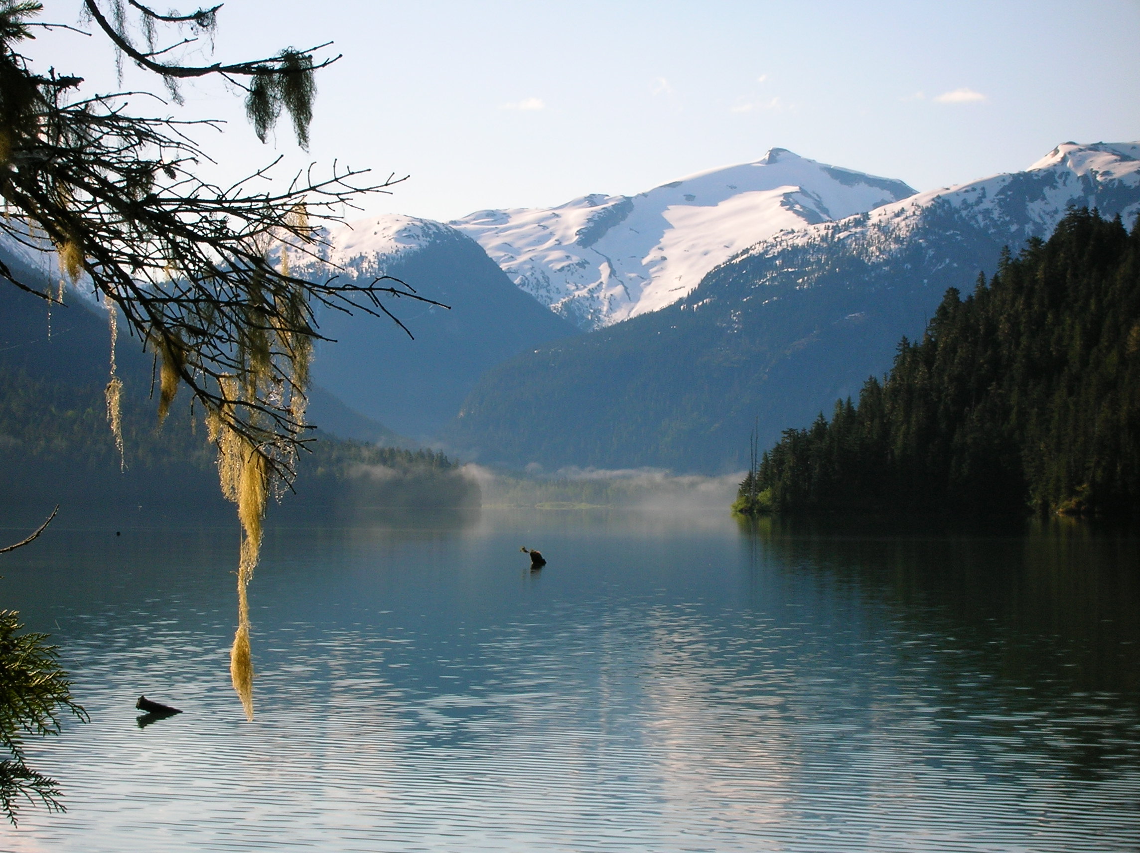
Fortunately, it did not rain over night and I was extremely happy to see some sun, though I had to leave the tent to do so since it was pretty dark under the trees. Now, I got some great photos of the lake as the sun warmed the place up from the chill of last night, hitting the dampness on the trees and clearing out the early morning fog. Here's the view just 12 minutes after the last photo. A zoom of this view shows the snow nicely up high and remaining fog at the very end of the lake. 40 minutes later, and it was completely clear. I walked around the camp a bit checking out views and had some sad breakfast bars. I wasn't in the mood to hike further down the lake since I didn't think it would be that exciting so I packed up and make the short hike out, which again was a pain given that I had to carry all my stuff awkwardly. Got back to the car and at the trailhead, and drove back down the dirt road to the main road. I would be continuing up north on 99 to check out Nairn Falls Provincial park which had sounded cool from my research. It was a short drive to the place which looked like a lot of people were camping here, which made me glad I hadn't. The hike to the falls was around a mile each way. There was a nice view of the snow-covered mountains in the sun on the way. The falls was actually very cool with the rushing water carving an interesting path through the rocks and ending with a small, but impressively powerful finish. Video and the end and a tour of the falls path. (3 and 4mb each) I really didn't get great footage of this place because I remember it being a lot better than it looks in the photos. I left this place continued through the mountains and the drive itself was very nice. I stopped to take some shots after a gigantic motorcycle gang had been behind me on the road for several miles making me nervous. Another stop, another great shot of the terrain and the road headed down. It was really warm now compared to where I was the previous day, and it felt good. Some laggers from the biker gang were enjoying the view as well. I stopped in some hot and desolate place around a major water-power generation plant for some gas, beer, chips, and lunch. Didn't realize liquor was restricted in Canada, so couldn't get any beer. Had a burger at A&W of all places. This town, Lillooet, was trouble (despite the nice website), but nice to pass through. It was amazing how hot it could be so close to the cool mountains, similar to the change you get in close proximity from the Sierras to Death Valley. It was really dry around here. I had on my plans to check out Marble Canyon Park, but it turned out there really wasn't much there, but had some cool rock walls and a pleasant lake. Next stop, after turning left on 97 (Cariboo Highway), was Chasm Park, which was ok but not much to see. This highway was nice because it was the first multilane road I'd been on for a long time so I didn't have to worry about head-on collisions for a change. People were driving really fast as this road went way the hell up north to Prince George and god knows what else up there. I continued making my way east towards my ultimate destination, Banff. I didn't know where I was going to camp, but since there was nowhere really good to stop, just kept driving. Eventually, I stopped around 7 or so at Thompson River Prov. Park which had an extensive camp site. It was ok. A lot of people, but I didn't mind. There were a lot of flies around so I picked a site away from the river, which actually was nice, but I didn't want to battle the bugs. I don't recall what I did, but I know there was no tree for a hammock which was too bad. I think I was working on a bottle of Jack at this point of the trip. Read a bit. Nothing else memorable to note, though I did talk to the camp ranger who collected the fee for the site and asked him about the nearby Wells-Gray Park which I had seen on the map and he said it was good so I planned to stop there early on my way to Jasper/Banff the next day.
Lake Checkamus in Morning
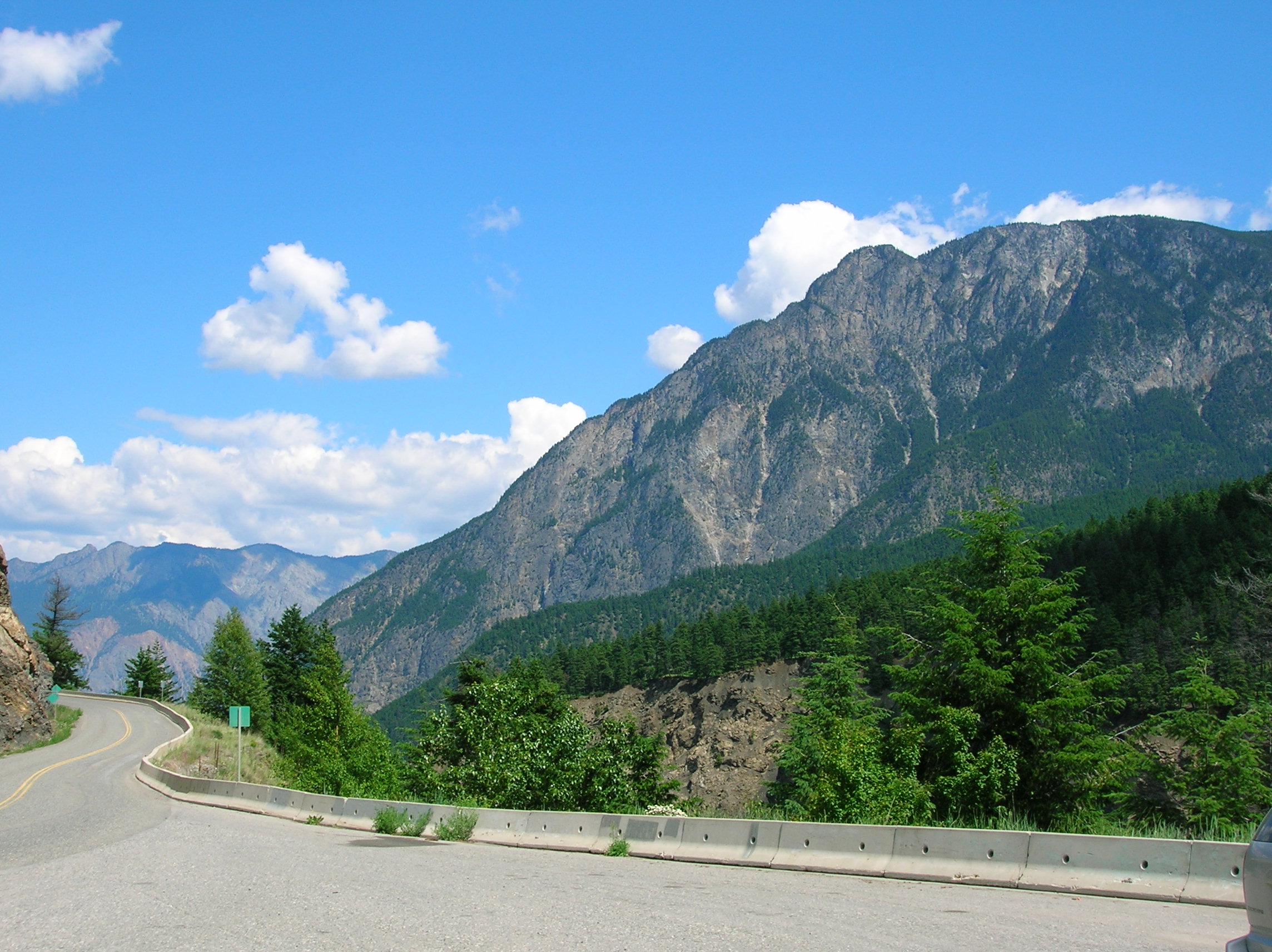
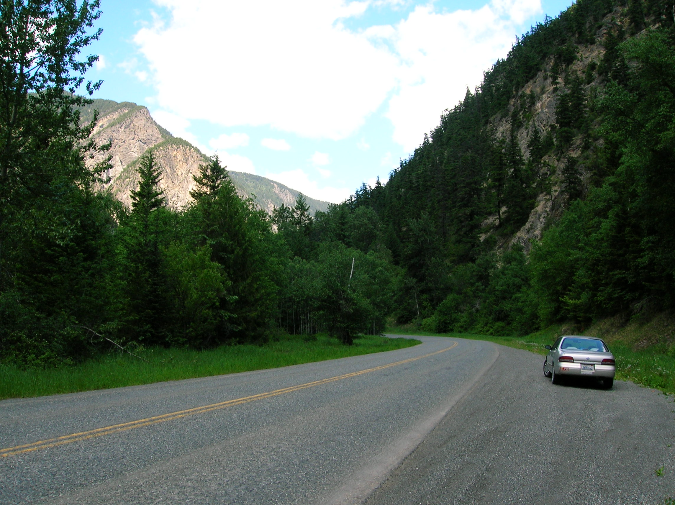
Route 99 in British Columbia
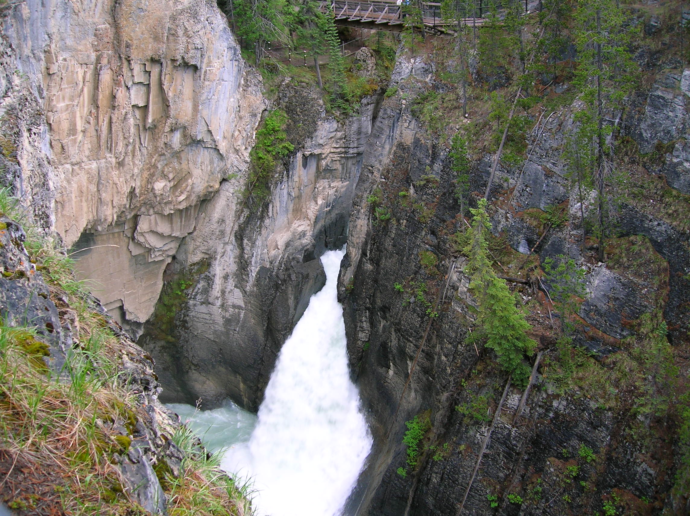
Day 9: Wells-Grey Park and Jasper/Banff
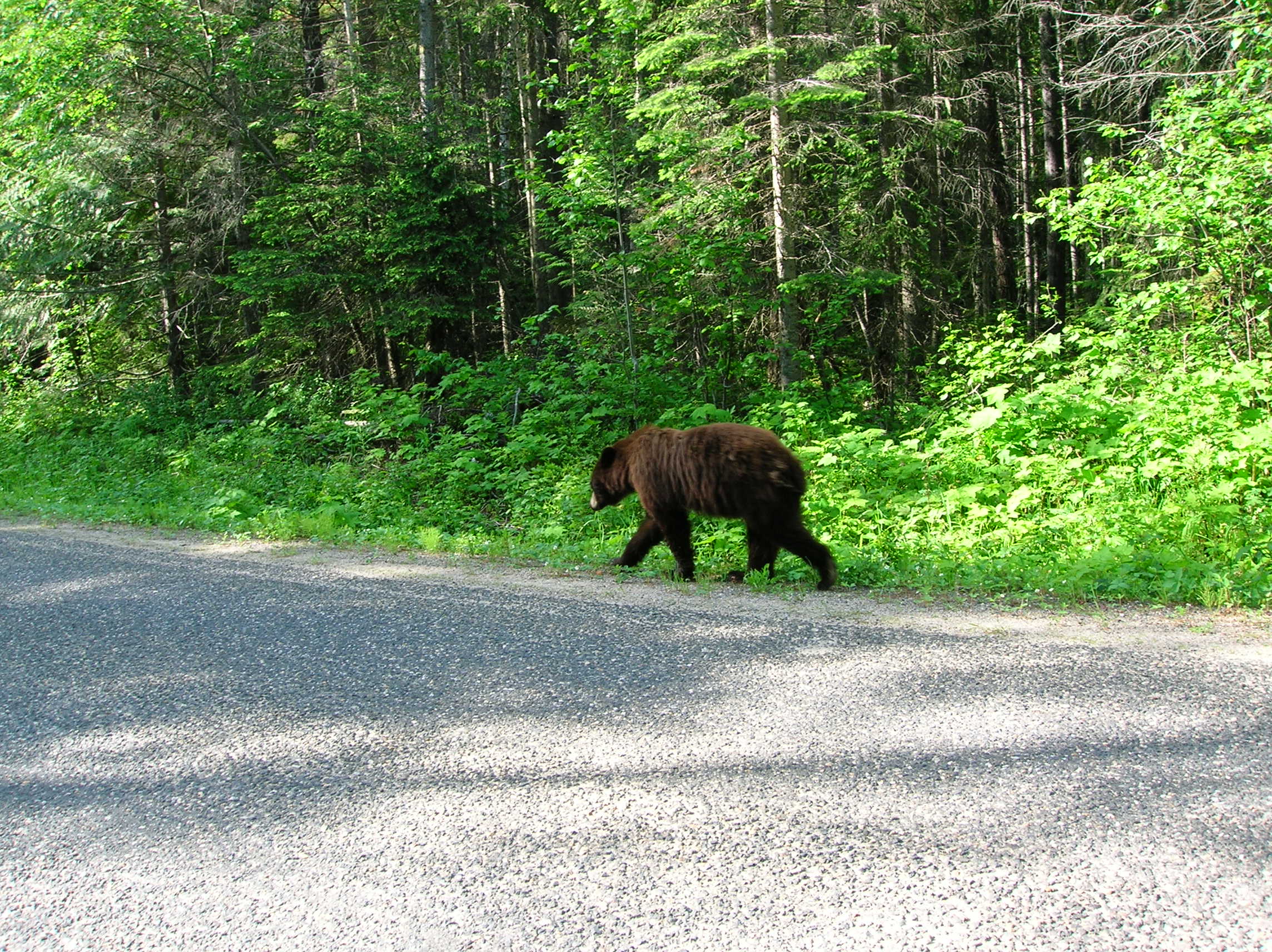
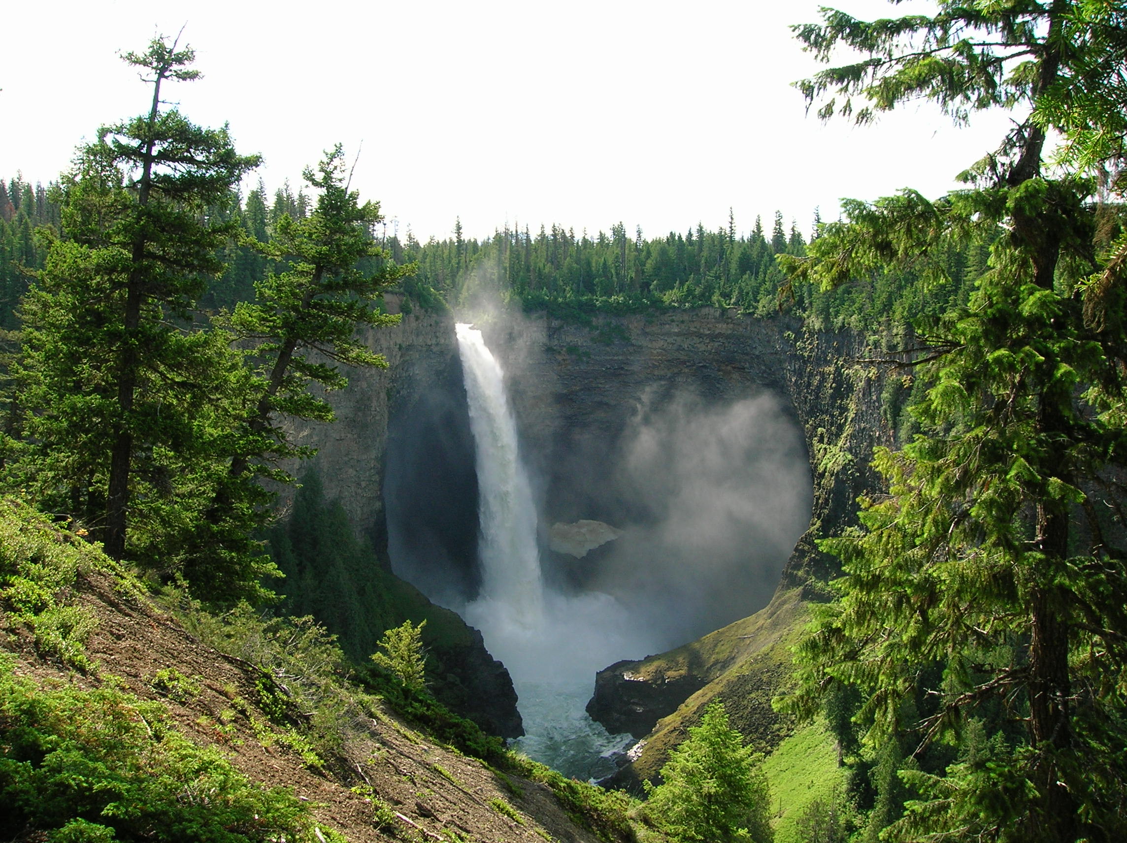
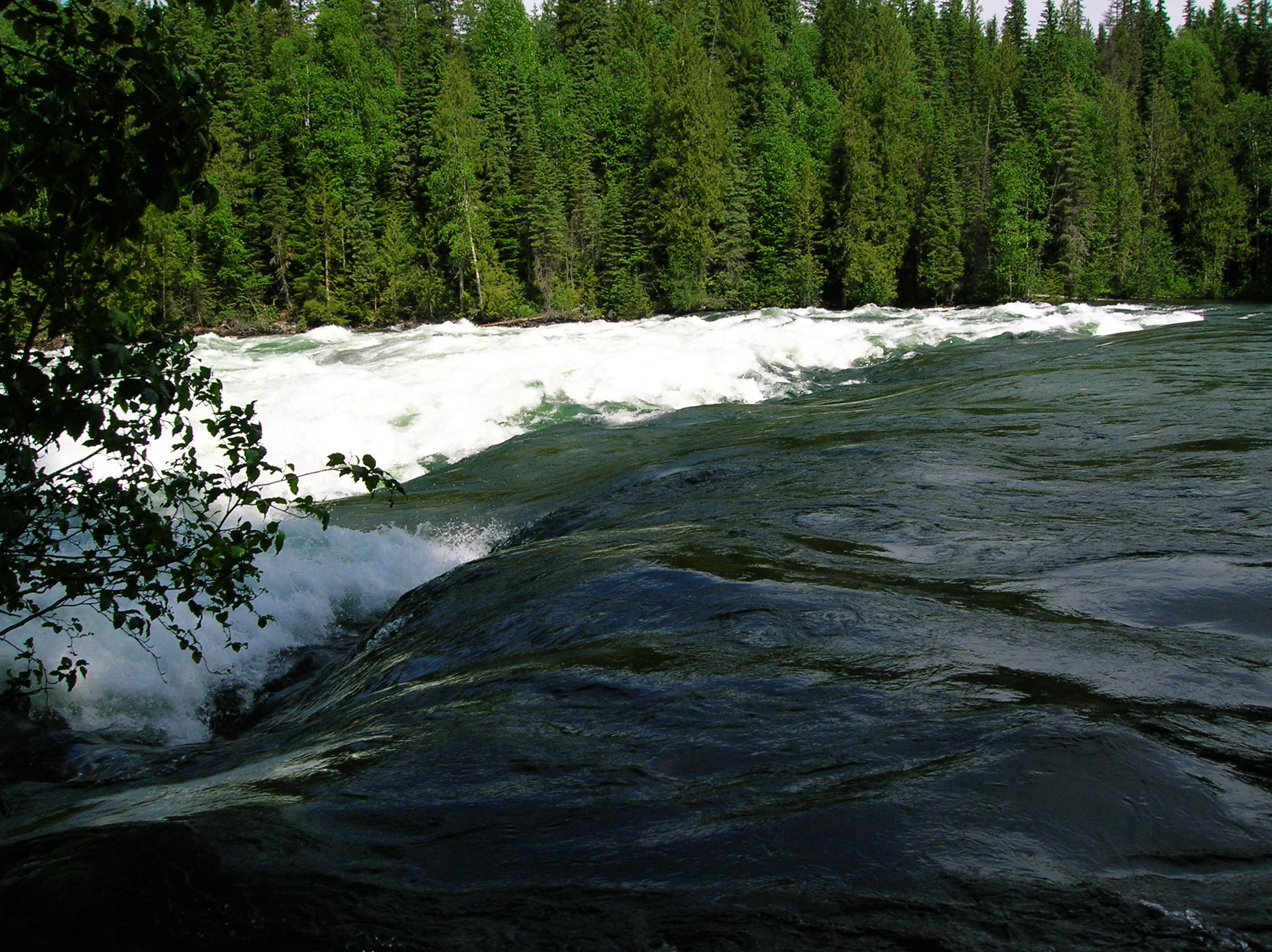
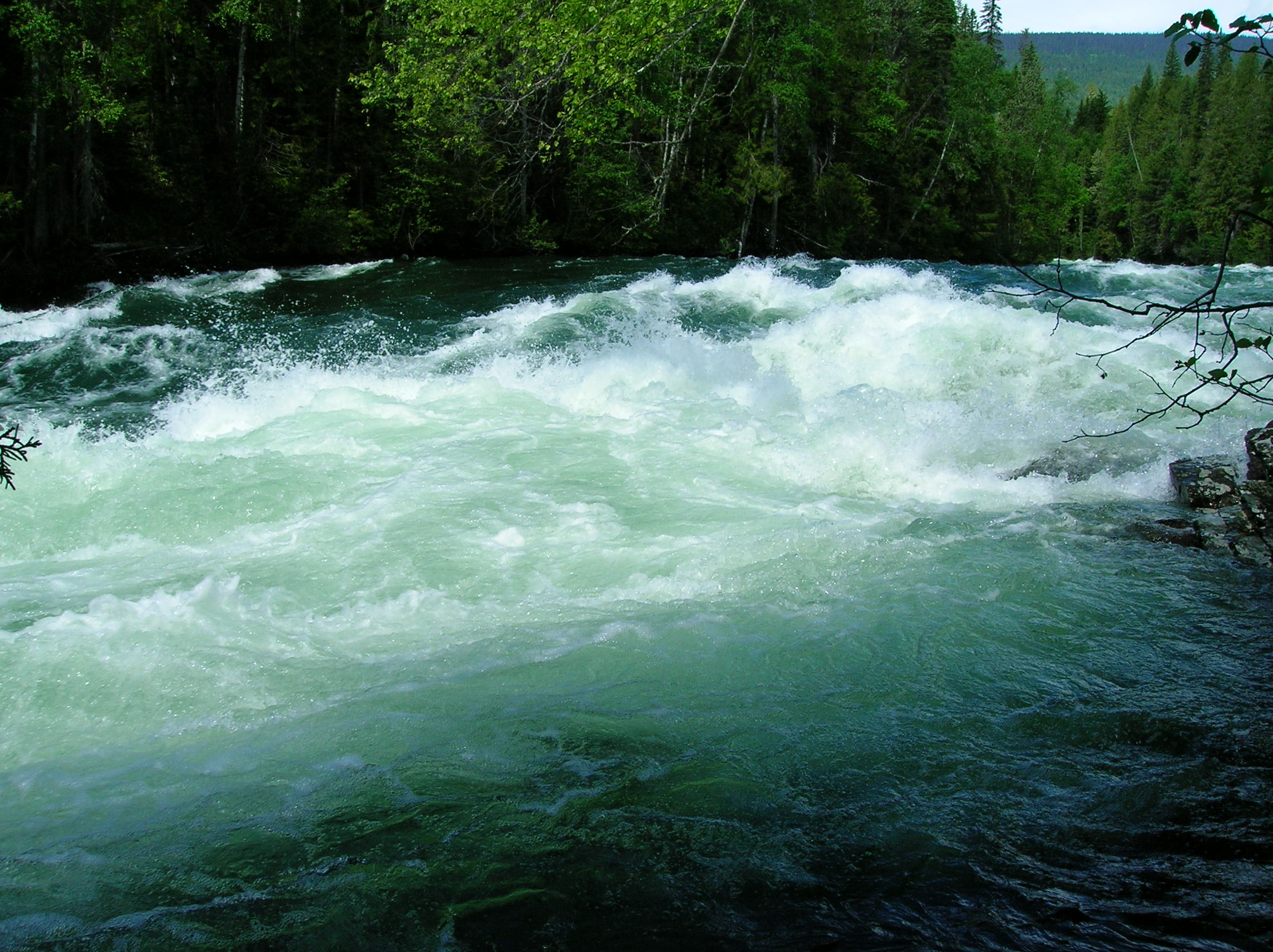
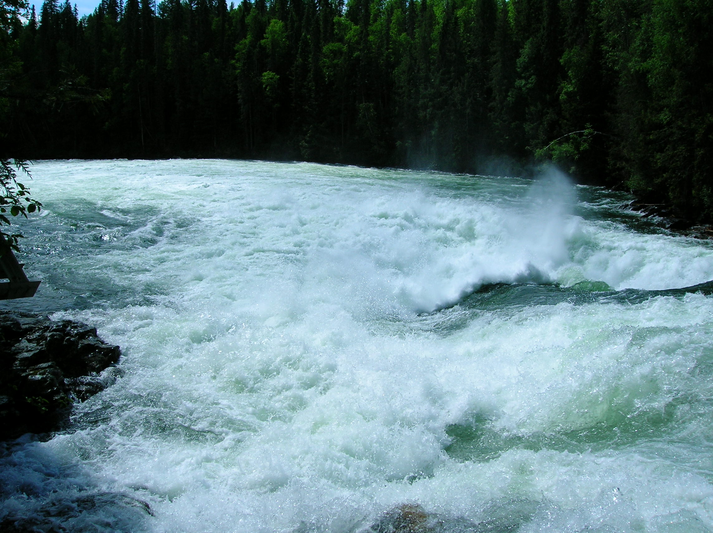
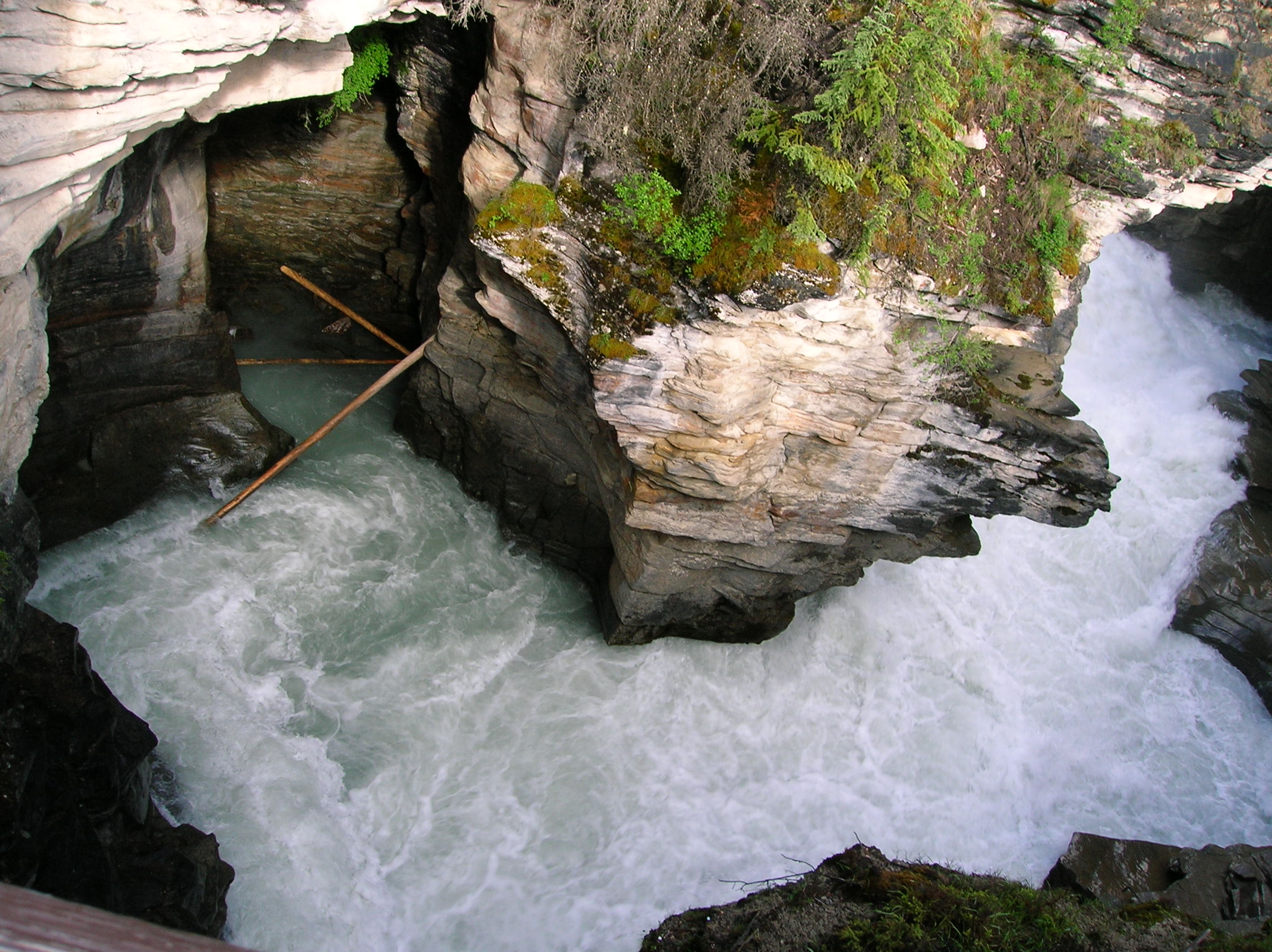
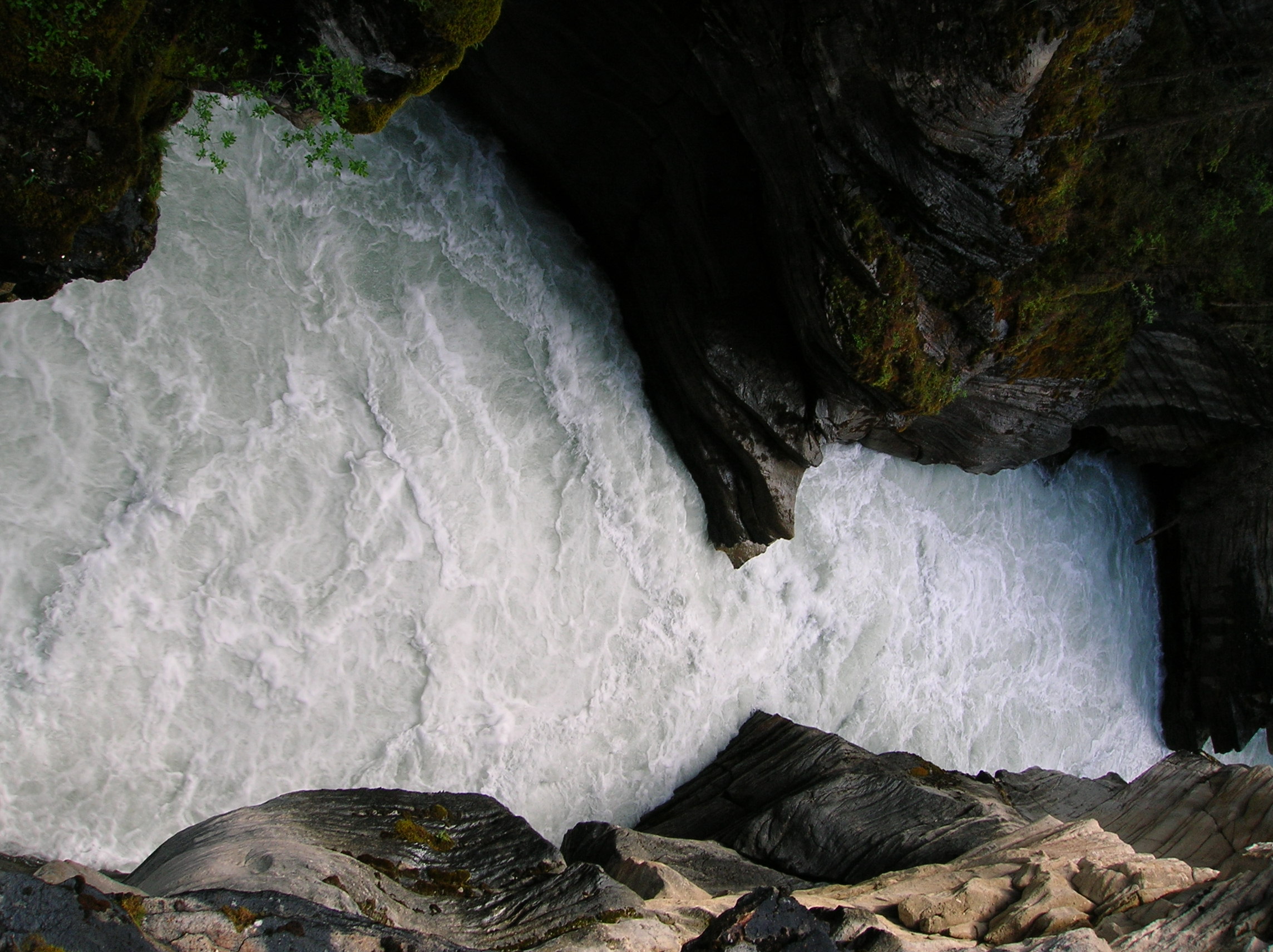
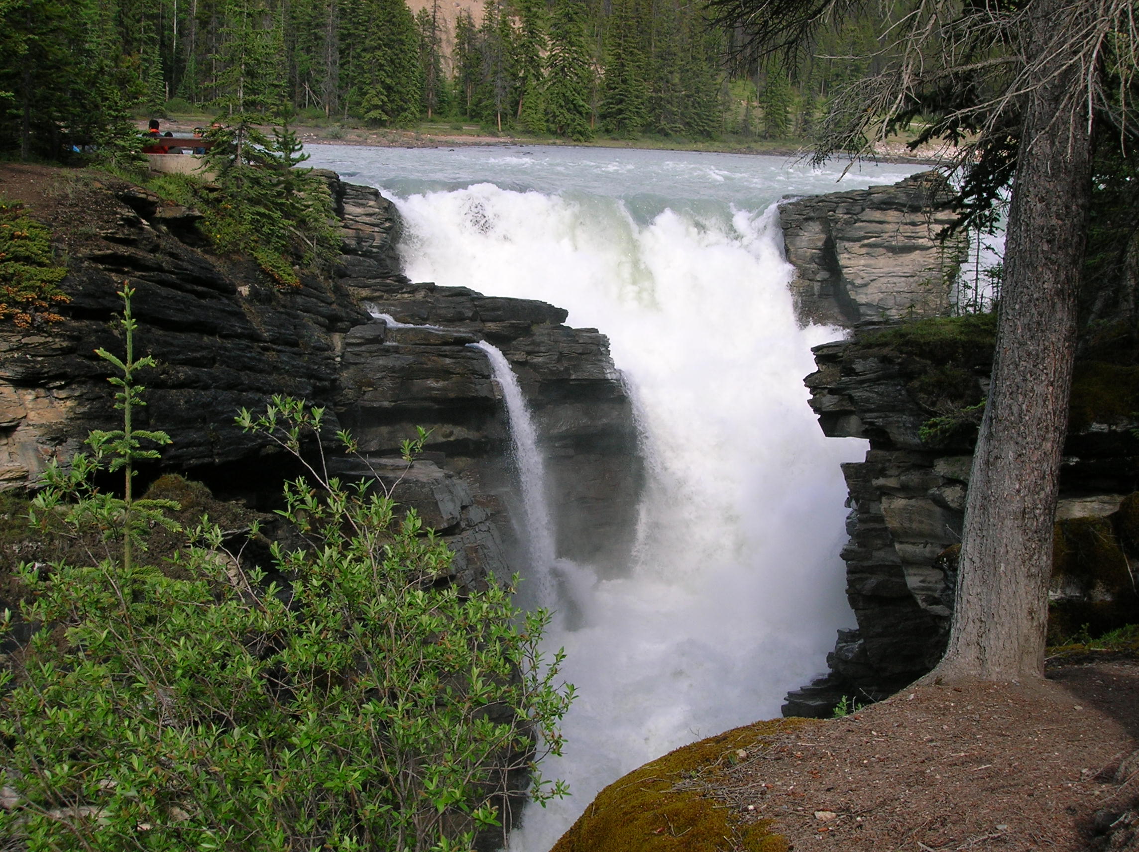
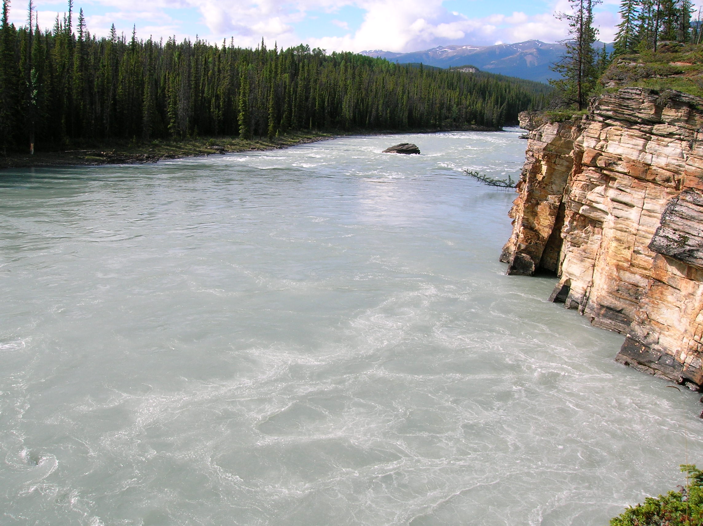
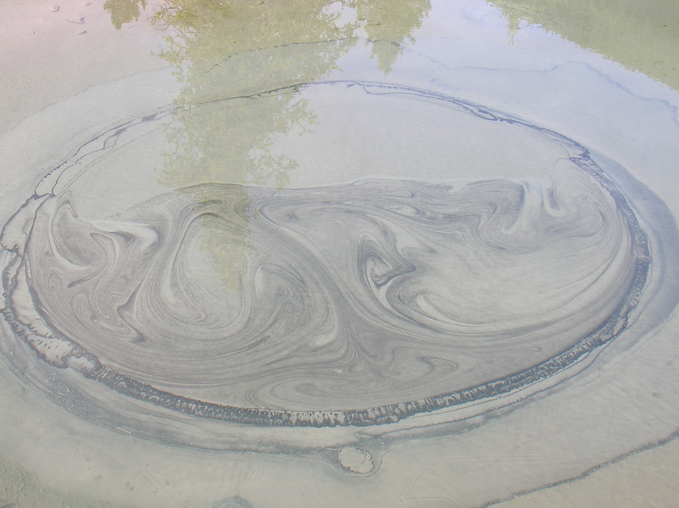
Well this was the day that would piss me off a bit. Someone during the night made off with my cooler that was out on the picnic table. There wasn't that much in it, but it had my salsa and OJ and mayo and other things I was looking forward to using. The only good thing was that I had been planning on stocking it with beer but couldn't find any so I saved on that and also they didn't take anything else that was laying out, many items of which would have been sorely missed like my water pak and headlamp. Anyway, after a bit, I got over it and headed to Wells-Gray Park. I was planning on a quick look before heading to Jasper, but the place actually had some very cool stuff. I did start early and the daylight lasted a long time up north this time of year, so I had the luxury of spending some extra time. First, I drove up some steep dirt road to an observation deck. Here's the view from three directions. Driving to the next destination, here's a nice little bear walking by the road. This first waterfall as seen from the side, I went to was pretty impressive. Not that tall, but very wide and huge volume of water. Looking from a bit down the path farther away give a better impression of the magnificence of this beast. The great thing was that there was nobody here at 9am, except one family that was not annoying. This was the benefit of staying at the campsite I chose which got me a good early start. Next up was a short drive and then walk to Helmcken Falls. Here's a closer view. I seem to recall an exhibit stating how this fall was taller than Niagra Falls and also that it formed an "ice cone" in the winter where the water fall mist formed some cool ice formation. Nice video of this fall. Next, I drove down a dirt road for a while, but it was very nicely graded, to this Bailey's Chute Loop trail. The main attraction was this part of the river where the water jammed really fast down these cascades. It was a lot more impressive in person that this video shows, I think. Also my pictures don't seem to recall how impressive it was. The power of the water was great. Apparently, the spawning salmon try to go up these chutes in the spawning season and the bears hang out here and pick them off to stock up for the winter. The hike after the chutes was uneventful and about 30 minutes or so passing a lake and some trees that looked like they were about to topple over. I went to this BBQ place where I took a bad blurred photo. It was either here or the Dairy Queen where 20 bikers where crowding. It was adequate, but not great. Drove a good distance with some great scenery to Jasper Park. I think this is somewhere near the beginning of the North entrance. A bit further down the Ice Field Parkway, was this impressive structure of rock, the background of a very nice waterfall as well. This water fall had a really nice series of paths and bridges allowing the multitude of visitors to see it from all sorts of angles and levels. It was my first run-in with the hordes of tourist and I didn't like it much, even though this was actually a low amount since it was early in the season and also sort of later in the day. Couple of nice wider shots. This video, show the nice power. And then, the calm as the water floats to wherever. I continued driving down the Ice Field Parkway. So far all, the campgrounds were closed so I wasn't sure where I was going to stay for the night. The town of Jasper was horrendously expensive and shamefully commercial so there was no way I was staying there, since it was also backtracking from my direction I was heading. More great views as I stopped along the road. In the last 2 photos, you see the Sunwapta Falls, which also happened to be home of the Sunwapta Resort, which thankfully was one of the affordable place in my AAA book. In addition, it was in the heart of the park in nature. I think it was $80 CAN given the high season had yet to begin. They also had Internet, but it was a very slow dial-up and was of little use. I had planned on camping, but since I could have used a shower and nice bed, I didn't mind the change in plans. They asked me if I would be interesting in their "fine dining option" as there was no other food around. I looked at the menu and said no, and instead had what I was going to have had I camped, namely a can of tuna fish with Triscuits and Jack Daniels with dried pineapple as dessert. Watched a little TV, went out to use my 20% off coupon at the gift shop and it was amazing because it was 10pm and still light out. Slept well.
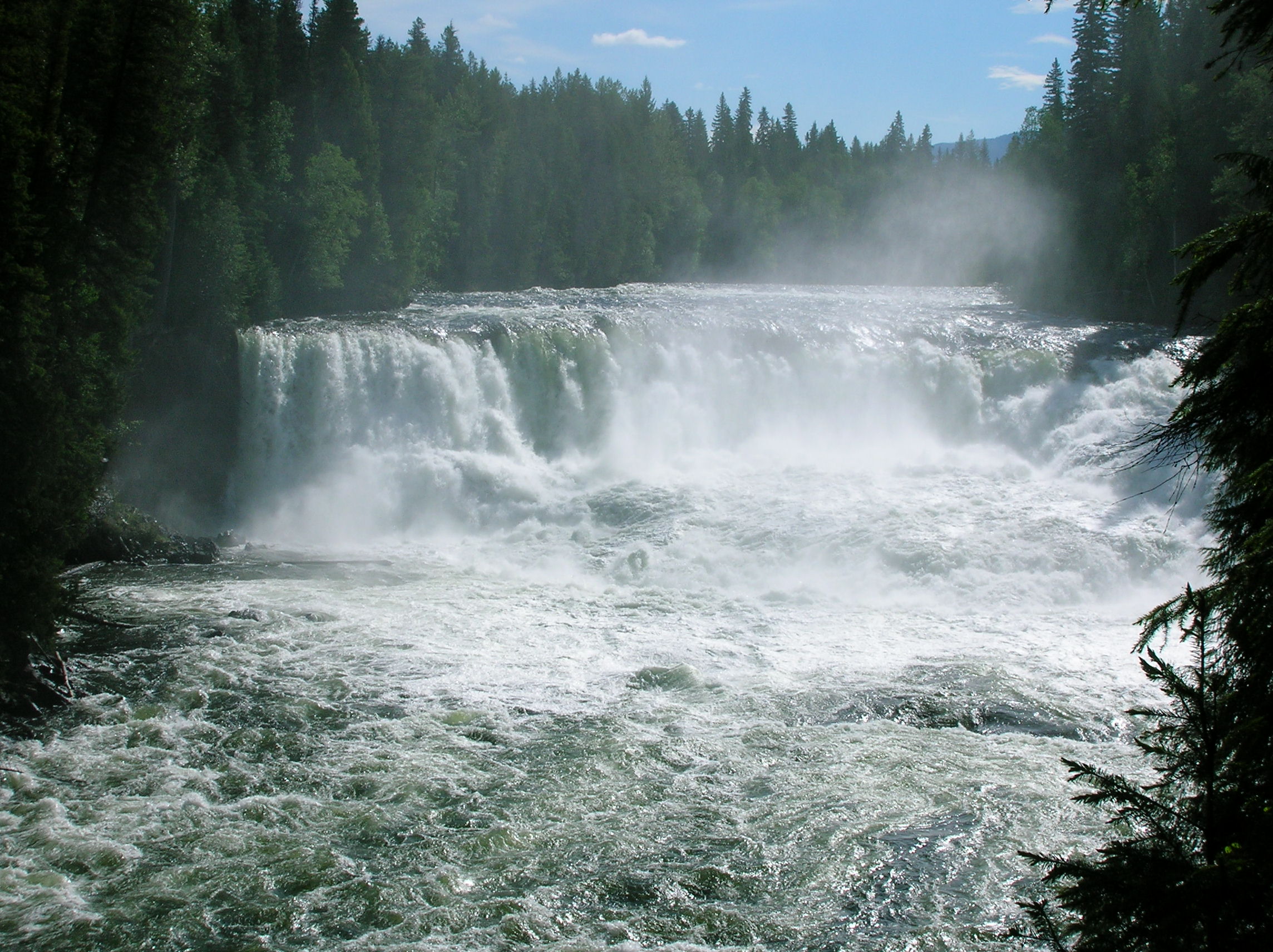
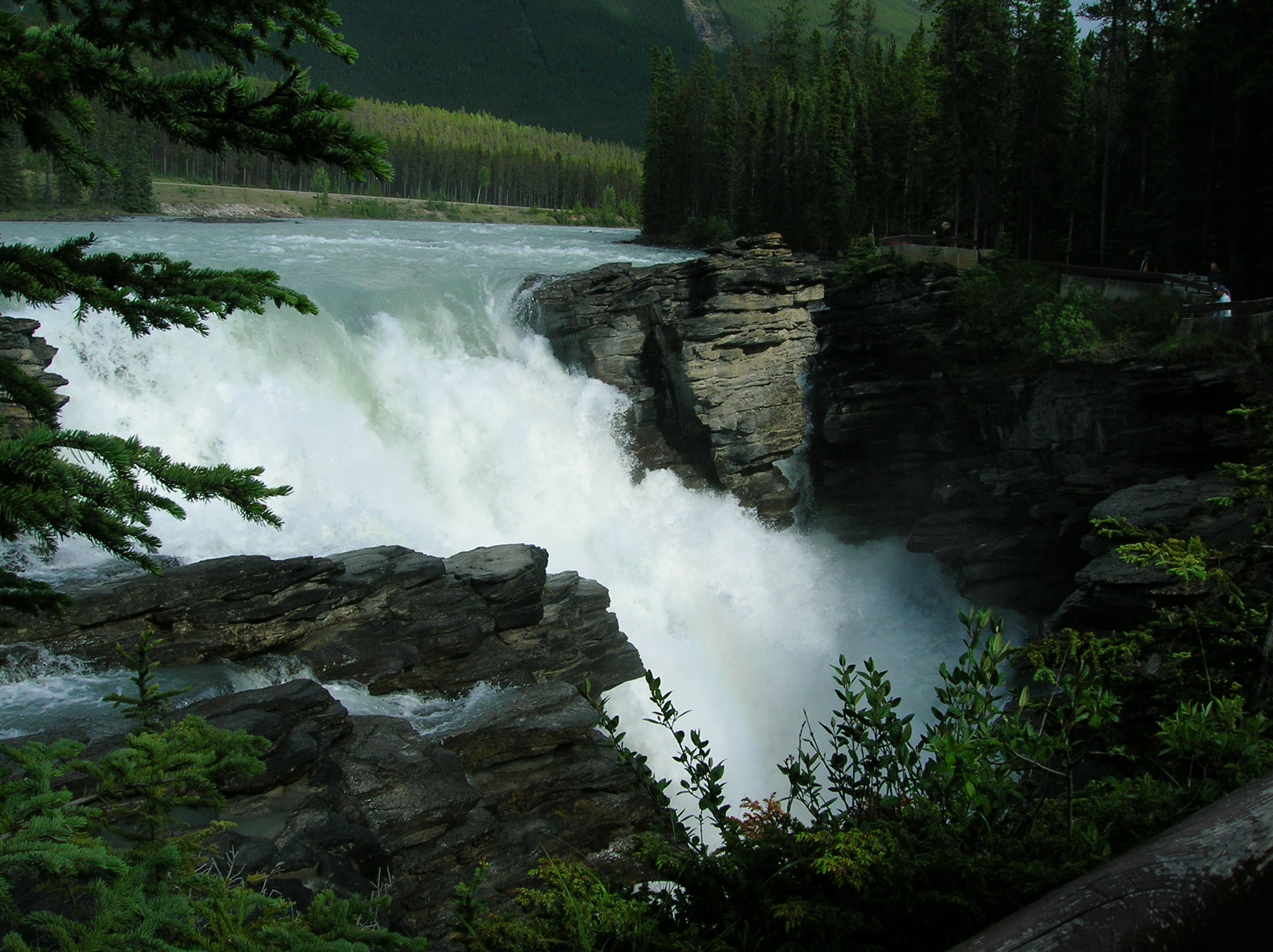
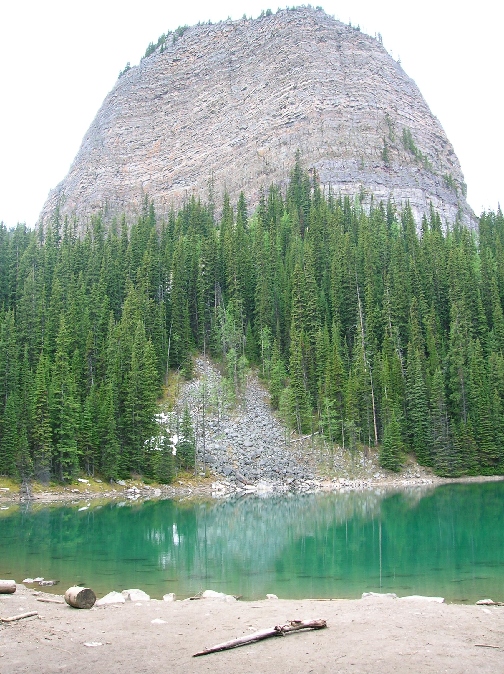
Early hike to falls at Wells-Gray park
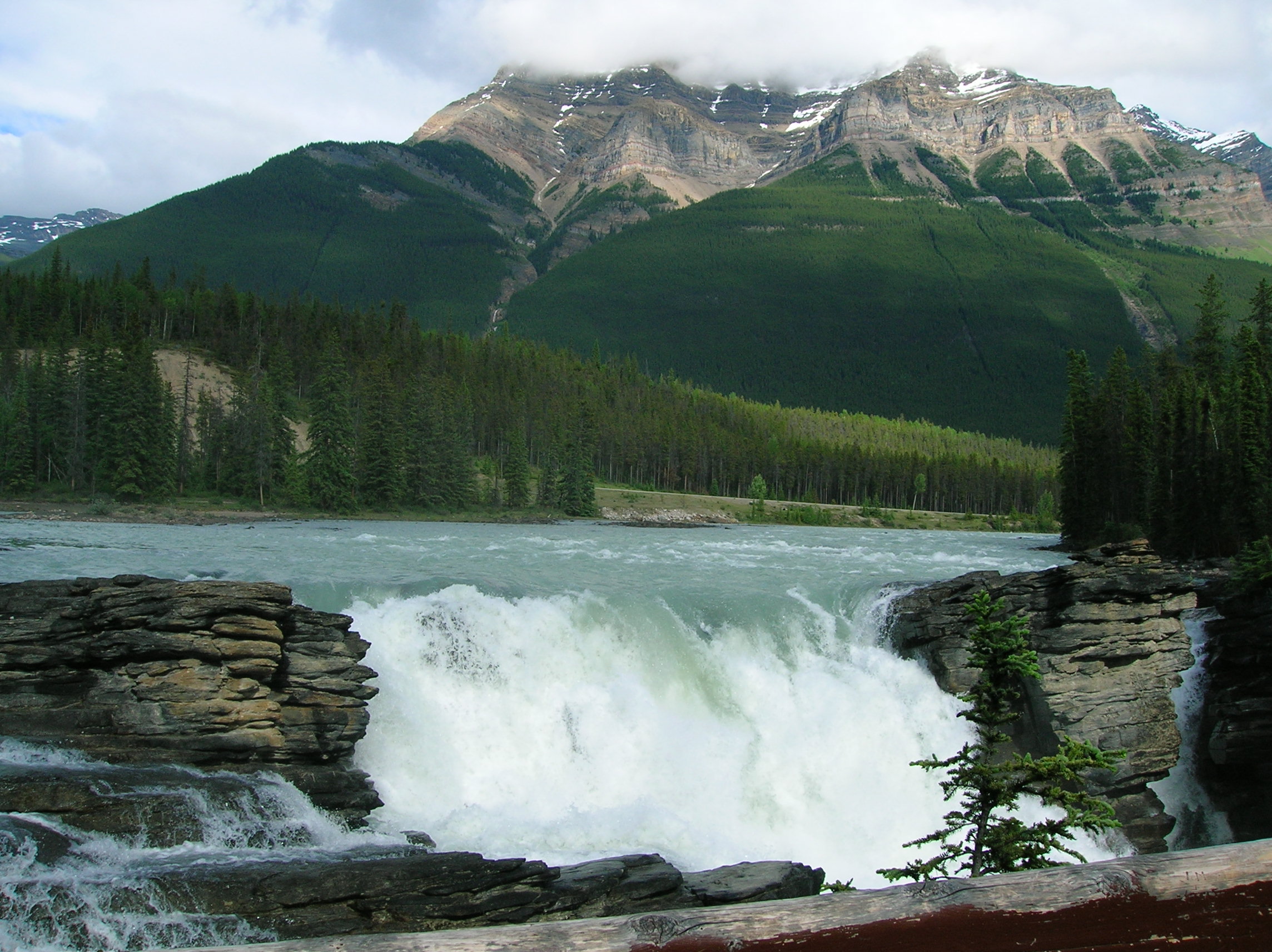
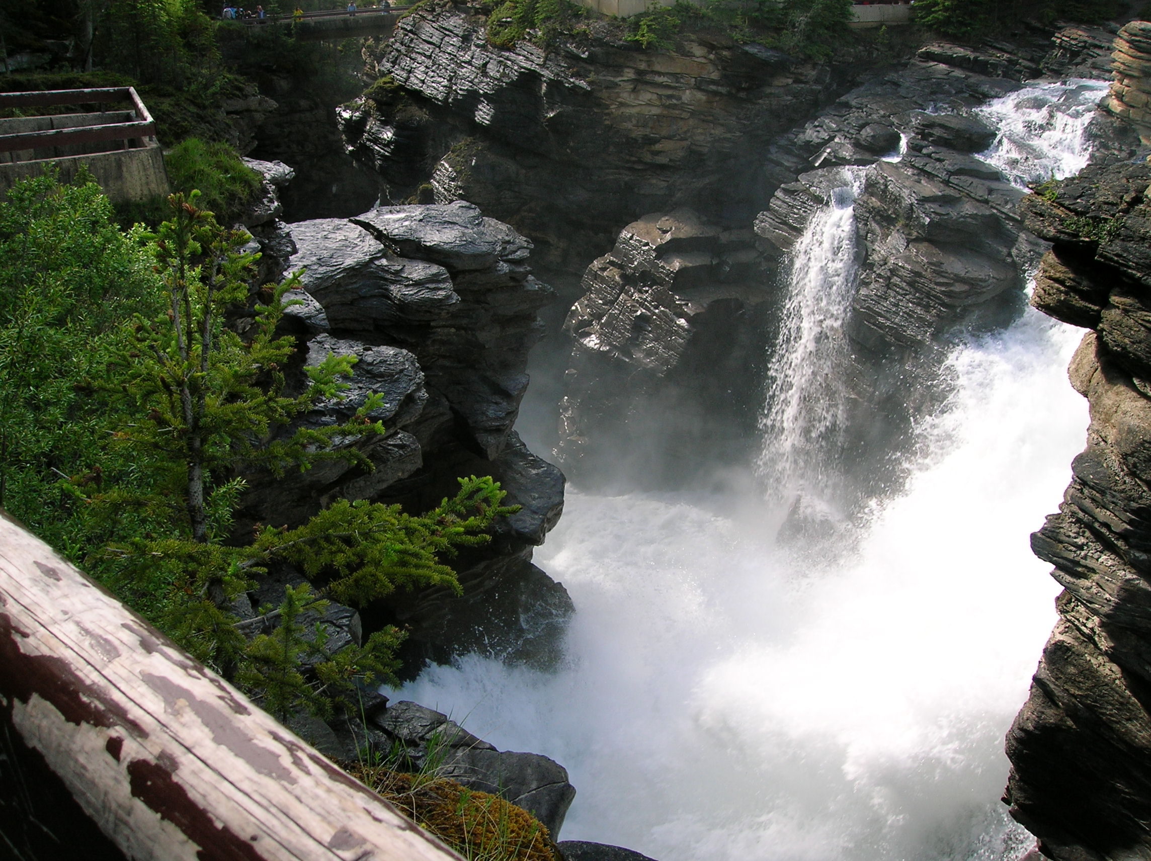
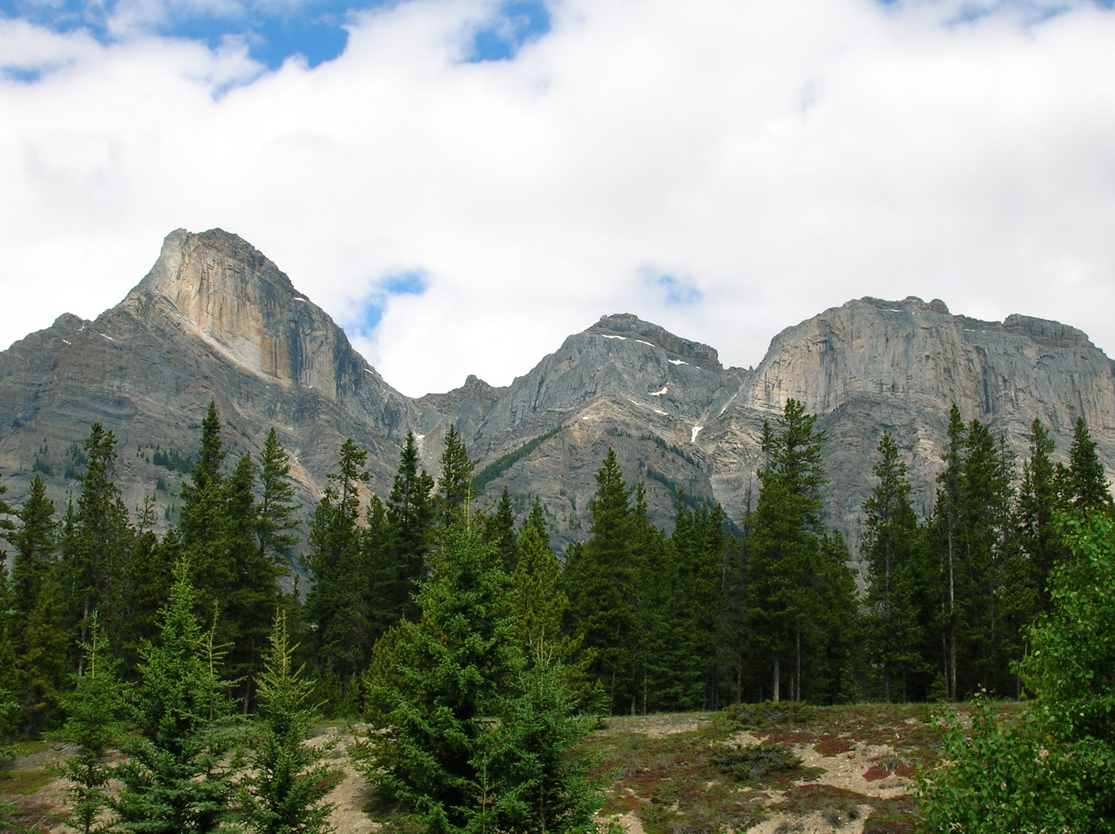
First stop at Jasper park
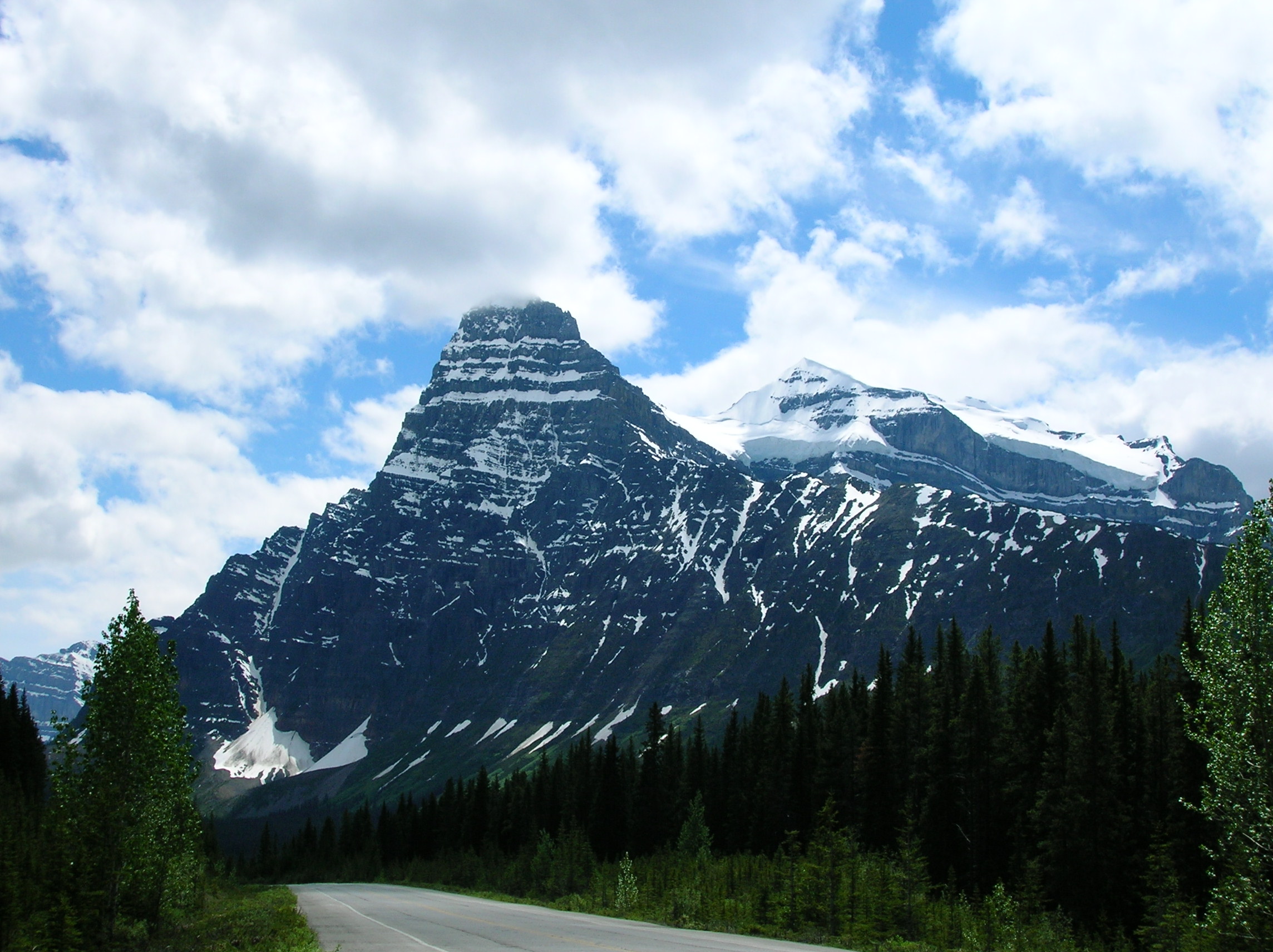
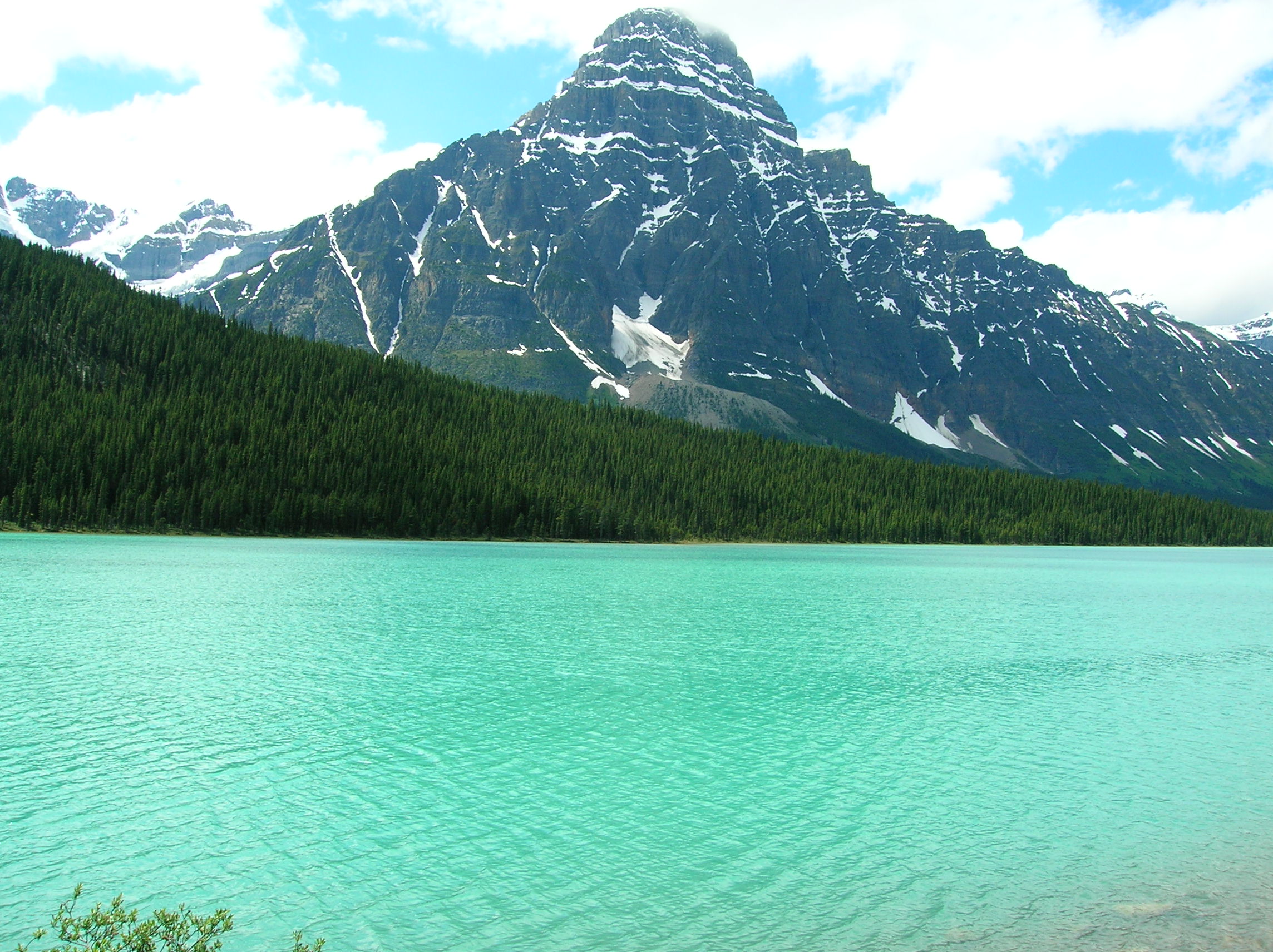
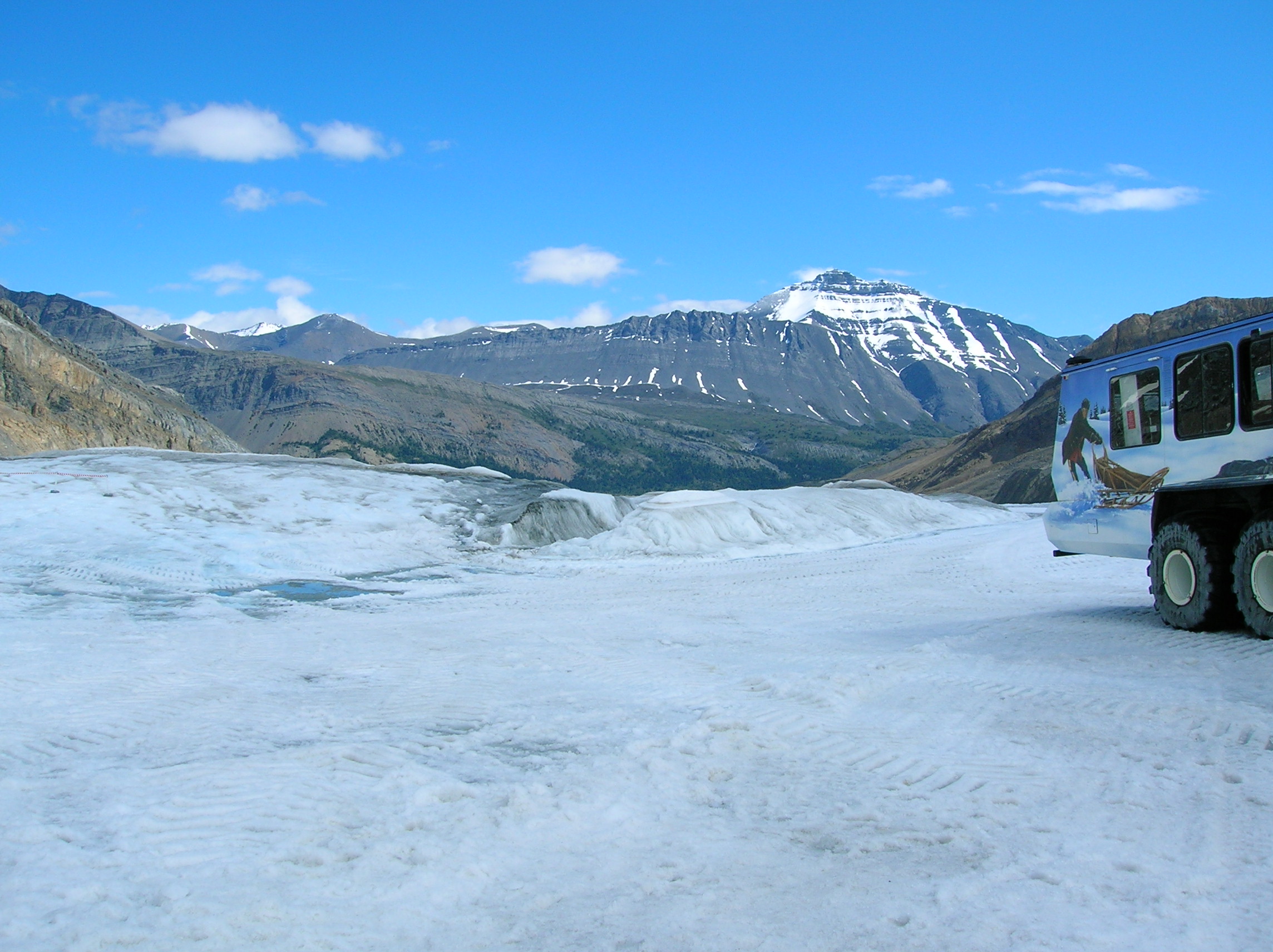
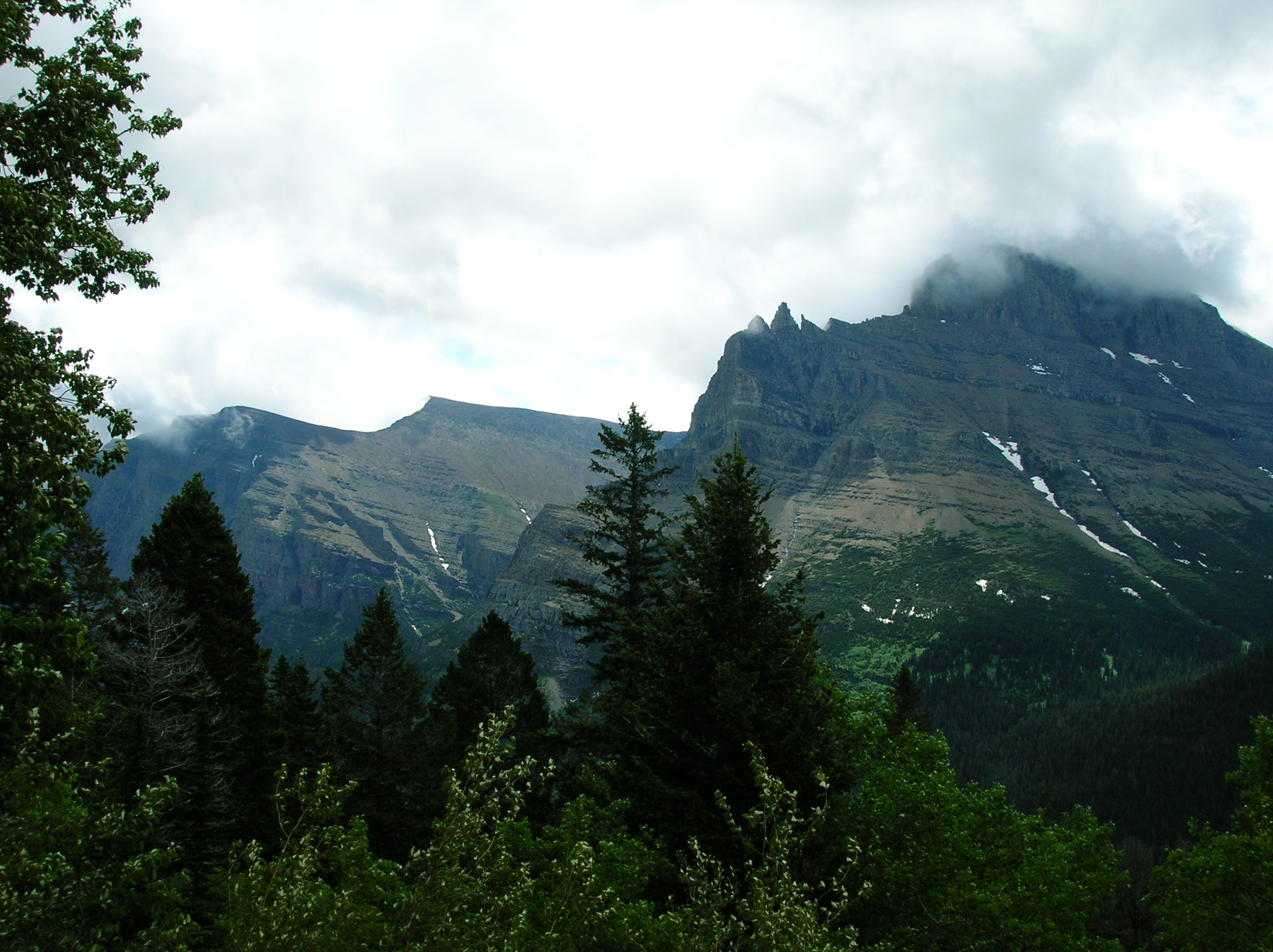
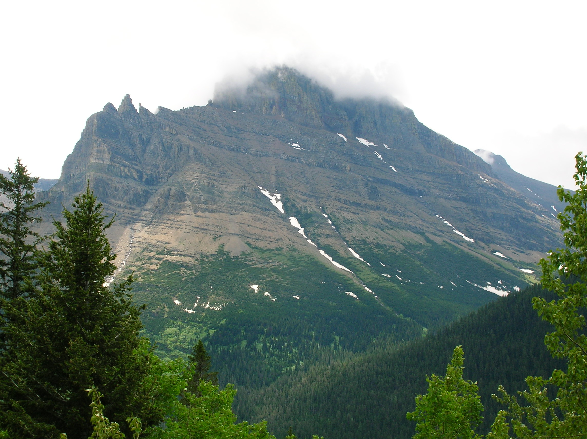
Day 10: Some light touring of Jasper/Banff
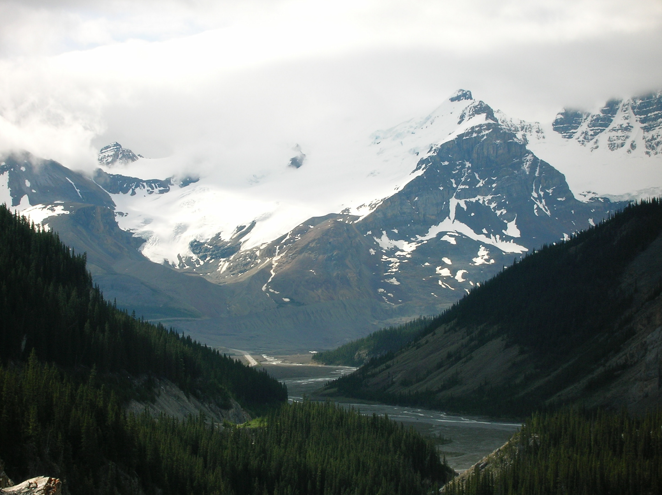
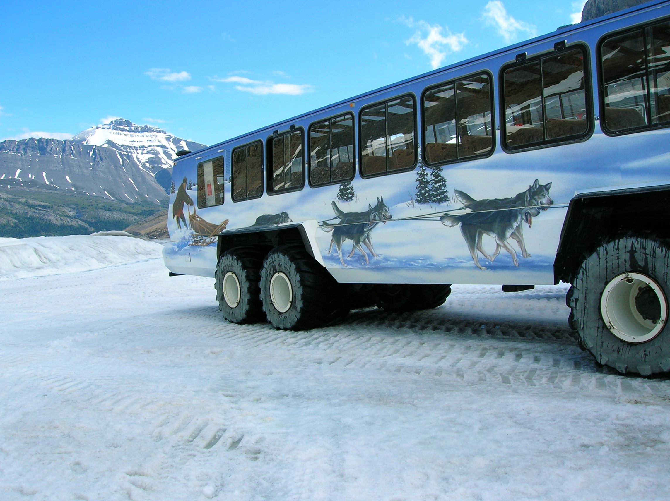
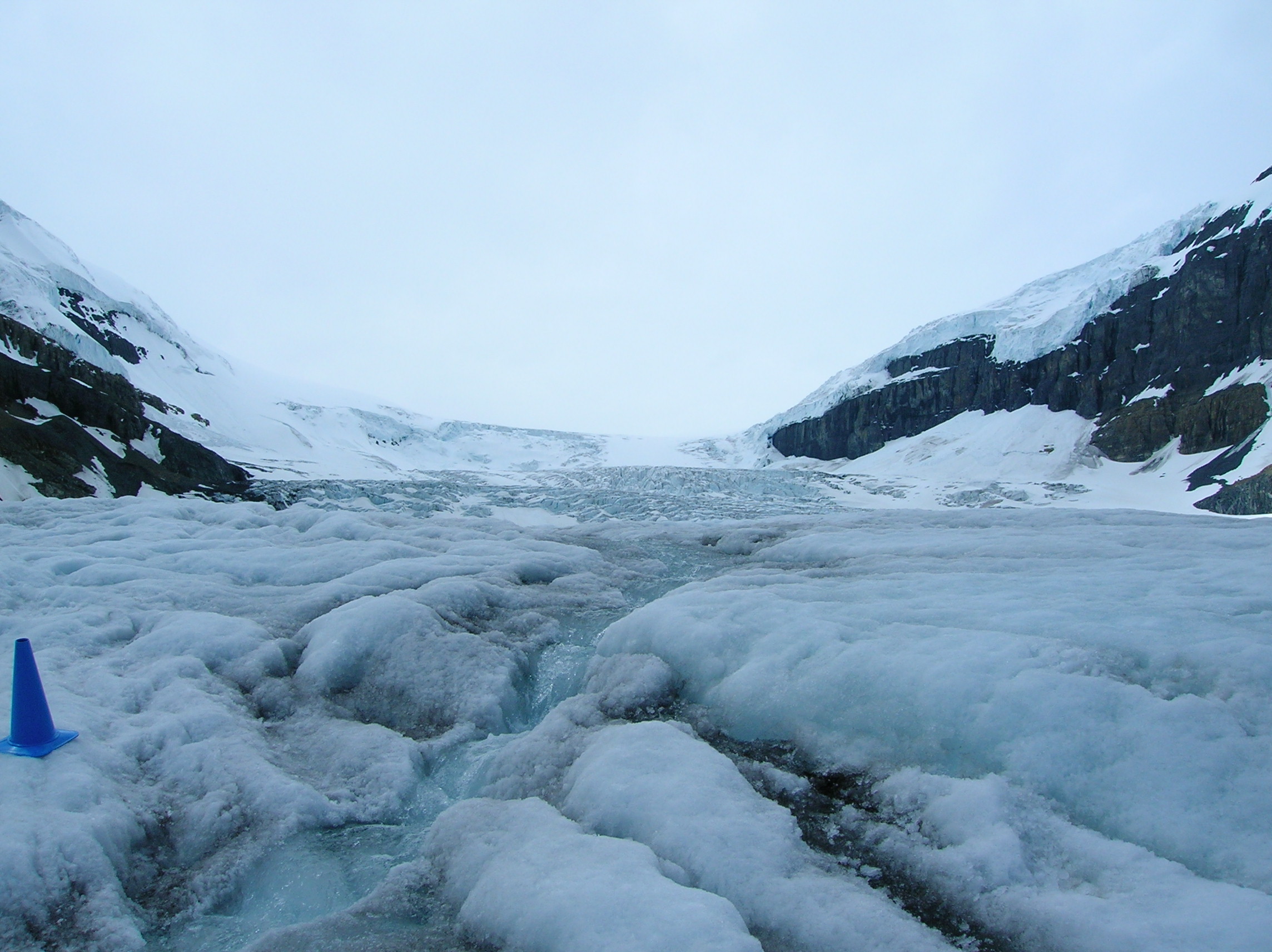
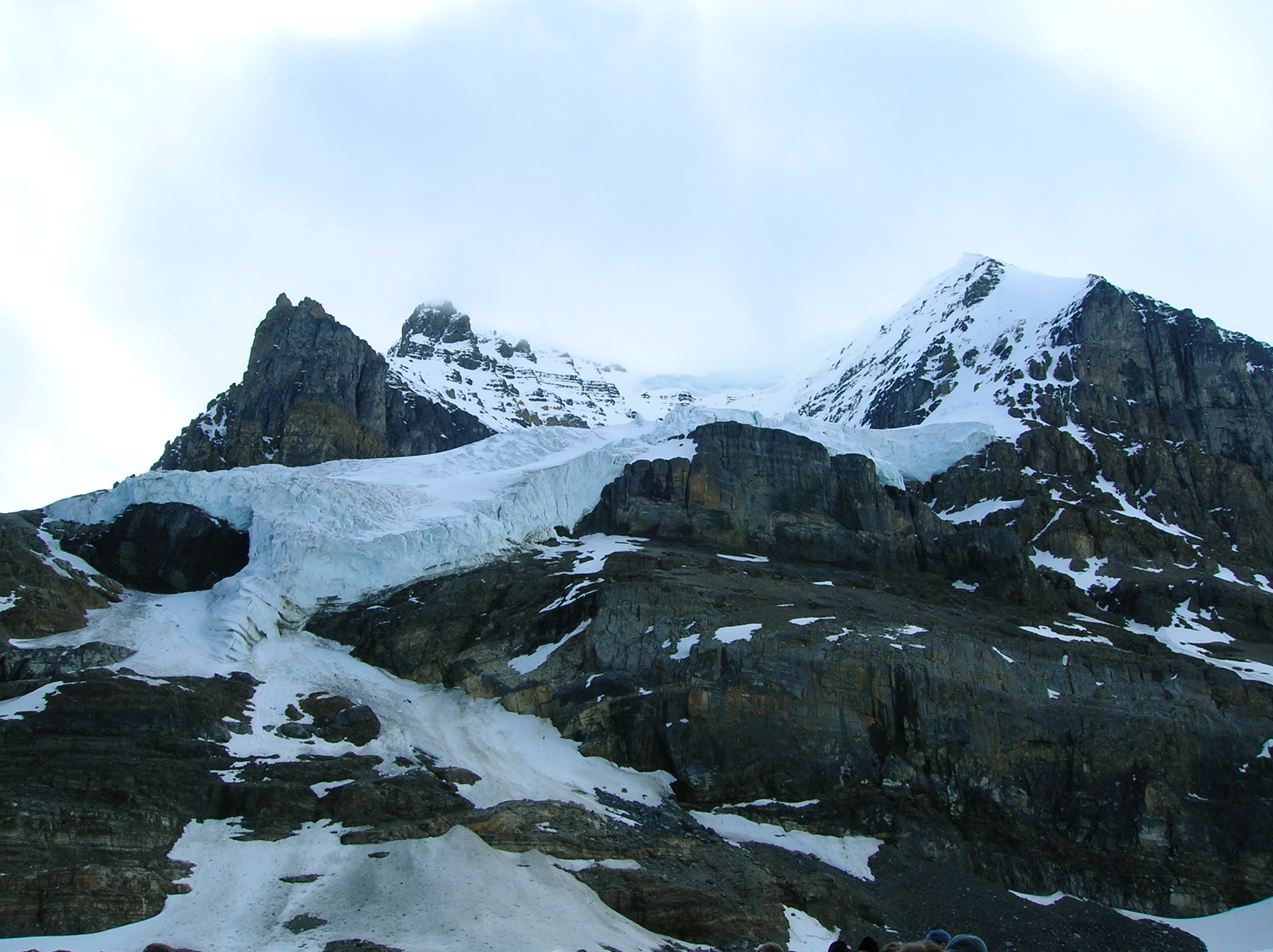
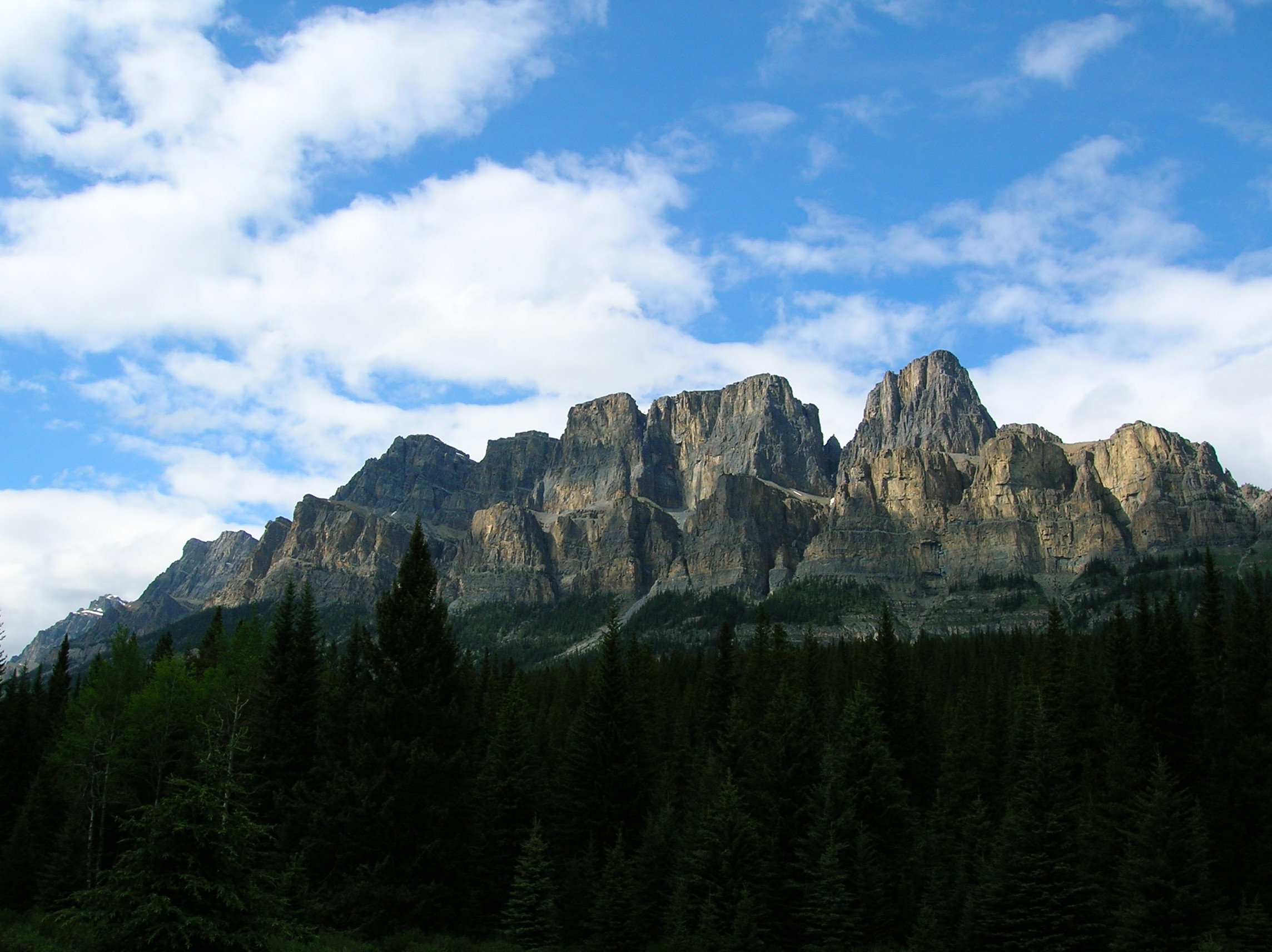
Woke up early and as I was told this glacier tour was cool, that was my main event of the day. On the way, stopped and saw a few things, such as this blue river off the side of the row. The elevation was starting to get higher, hence the snow on the mountains. You can see how the snow is piled up massively on the ledges of the mountains. Later when I was hiking the next day, I'd hear and see avalanches falling constantly. Nice evidence of a mountain with landslides. Nice waterfall. Nice shadows and composition of mountains and greenery. Foreboding valley. Then, it was off to the glacier tour. I took this thing because some Canadians at a rest stop told me it was good. It turned out to be lame, a waste of time and money. I recall another person telling me, on a trip to Boston, to take these Duck Tours (which I did not) and when I was there, saw how stupid it was. I don't understand how locals can suggest doing lame things. Anyway, the tour cost like $30 US. Lots of fools on it and it didn't really go deep onto the glacier like I figured, just a tad above where you could have driven to in a car. I remember this woman frantically dressing her son up in a North Face parka fit for a trek at the North Pole, while one could have worn shorts on this "adventure" as it was sunny and not very cold. The vehicle to get on the glacier was cool, at least. View on the glacier looking back down towards the main road. View up the glacier at the point we were allowed to go up to for safety. The nice blue water was good to drink, though I had not brought a water bottle like I should have so just slurped with my hand. Look up on the side of the cliffs at more caked-on snow. More glacier and you can see the terrain does look like something that you could fall into your death if you went further. After getting back to the glacier center, I had a terrible meal of some bad Asian food from a woman who could not understand English. Then went on down the road for more sightings. Not sure what this is, but nice dome of some sort. View of the road through the valley. Very green and lush side of a mountain. Major peak. Got a shot of this which I think was called the castles or something. I like the mix of colors in this picture. Tall rock, which got good sun as is evident by the lack of snow. The one negative thing about Jasper/Banff is that there is a LOT of sadness. Lots of annoying international tourists, including many smoking Germans in RVs. And I was there at a fairly light time of the season, since it was still early. It was June 12 and the park was just barely opening up fully for the summer. I would not recommend going here any time in the main season; either go early or late because any more crowds would take away from the place and from the looks of the parking lots and the number of campgrounds they had closed up still, the crowds would be more than double from what was there during my visit when the season really kicked in. Notice how to say the same thing in French takes a lot longer? Sad language. Another bad thing about national parks in Canada is the bilingual signs everywhere wasting space and wood. Nice rapids with snowy mountain in the background. Impressively tall mountain into the clouds. This same mountain at another point with a blue lake in the foreground. Different part of the lake with more mountain in the background. Sun sparkles of the lovely lake. Now an excellent view of this lake from up high. I recall this trail had a lot of smoking and spitting German tourists with red and orange dyed hair that annoyed me, but fortunately, they had trouble making it up the grade so I could pass them with ease. 30 minutes later, at some other lake with water that looks very cold and clear. Lastly, I found the campground, set up stuff, then went back along the side road to take a late-day shot of this incredible structure of rocks along Route 1A. Some random waterfall I don't recall. Back at the campground, I got back to business in the hammock finishing up my Steven King book, working on the last of my Jack. I think I had the last of my bad cold chili. It appeared like a good chance of rain which I was not looking forward to and during the night, it did rain, but not too hard and it stopped in the morning. Though I was upset I wasted a lot of the day on the stupid Glacier tour (though now looking back, it did result in some nice up-close photos), I did get a lot of good sightseeing in. I was disappointed in my lack of hiking this day and I vowed to do some serious stuff the next day to make up for the loafing that I consider car sightseeing (however nice it is) to be.
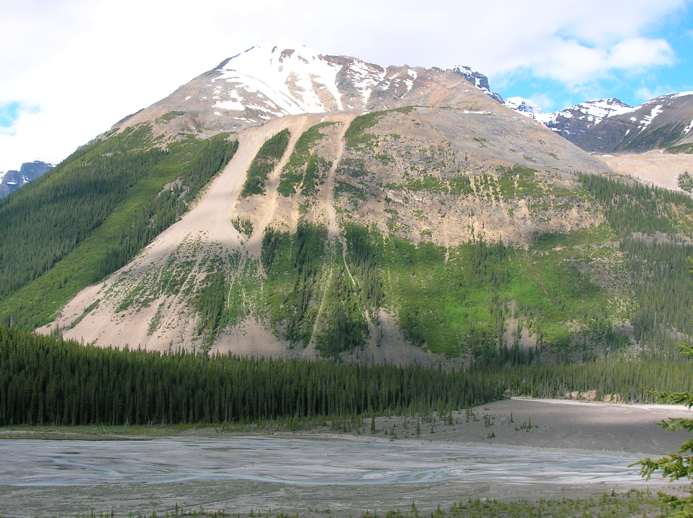
Nice landslide evidence in Banff
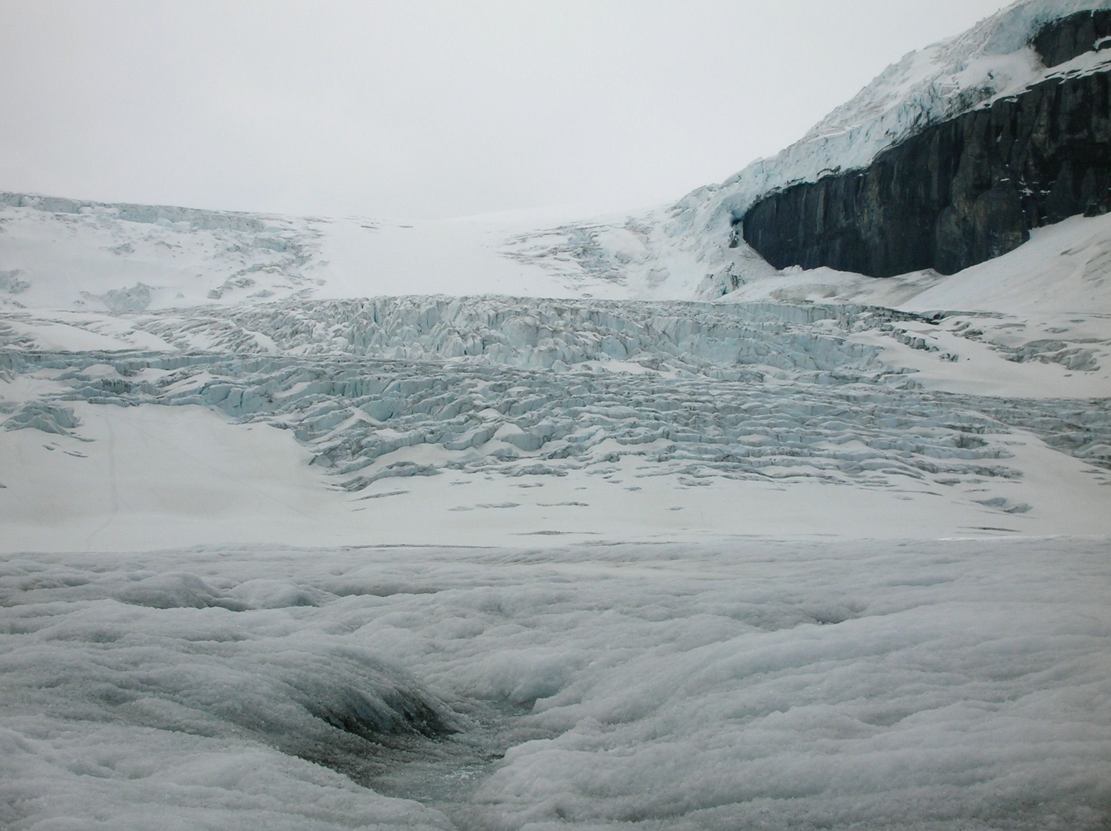
View from the glacier tour at Banff
Day 11: Final Day in Banff, drive to Fort Macleod
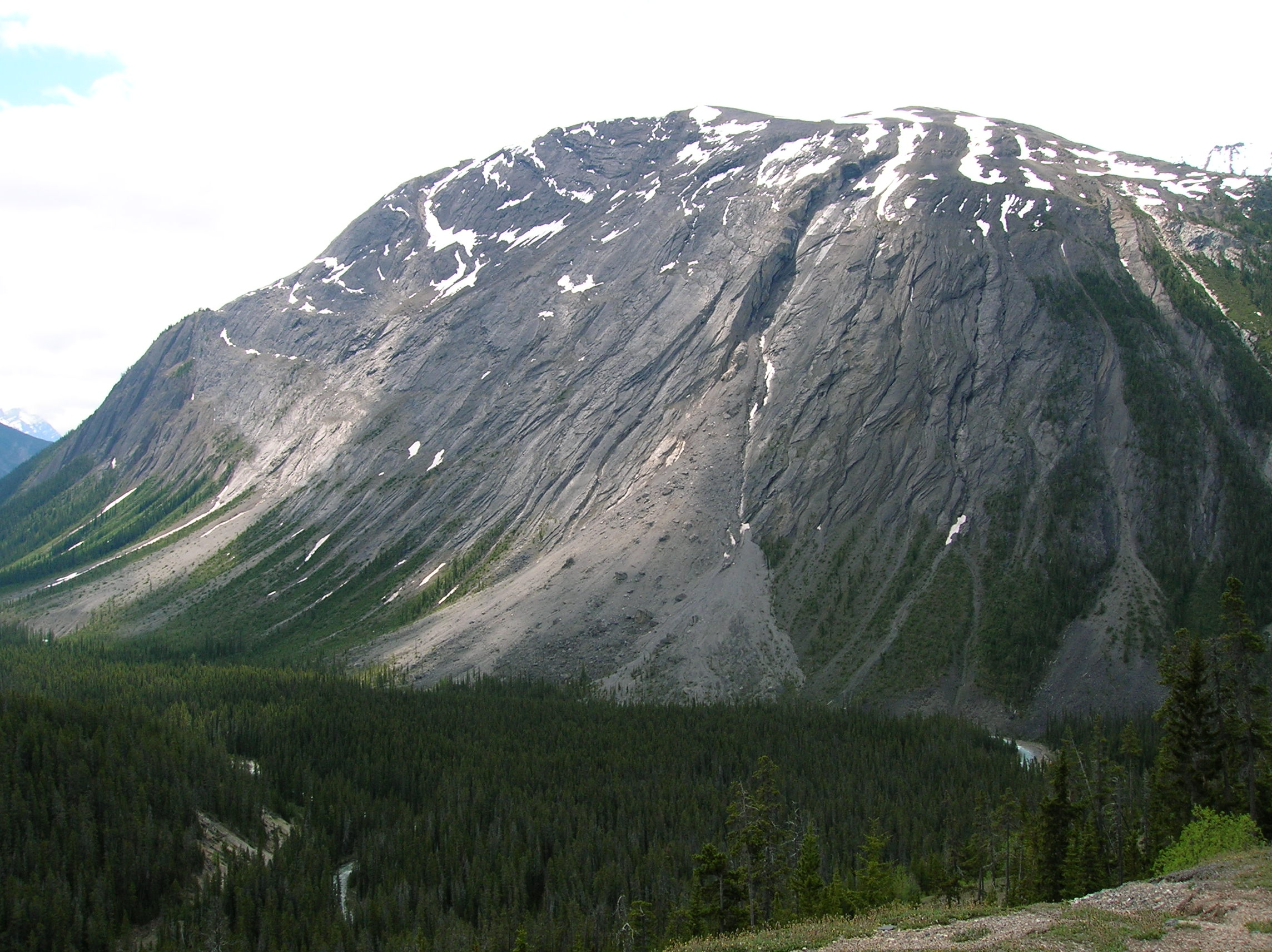
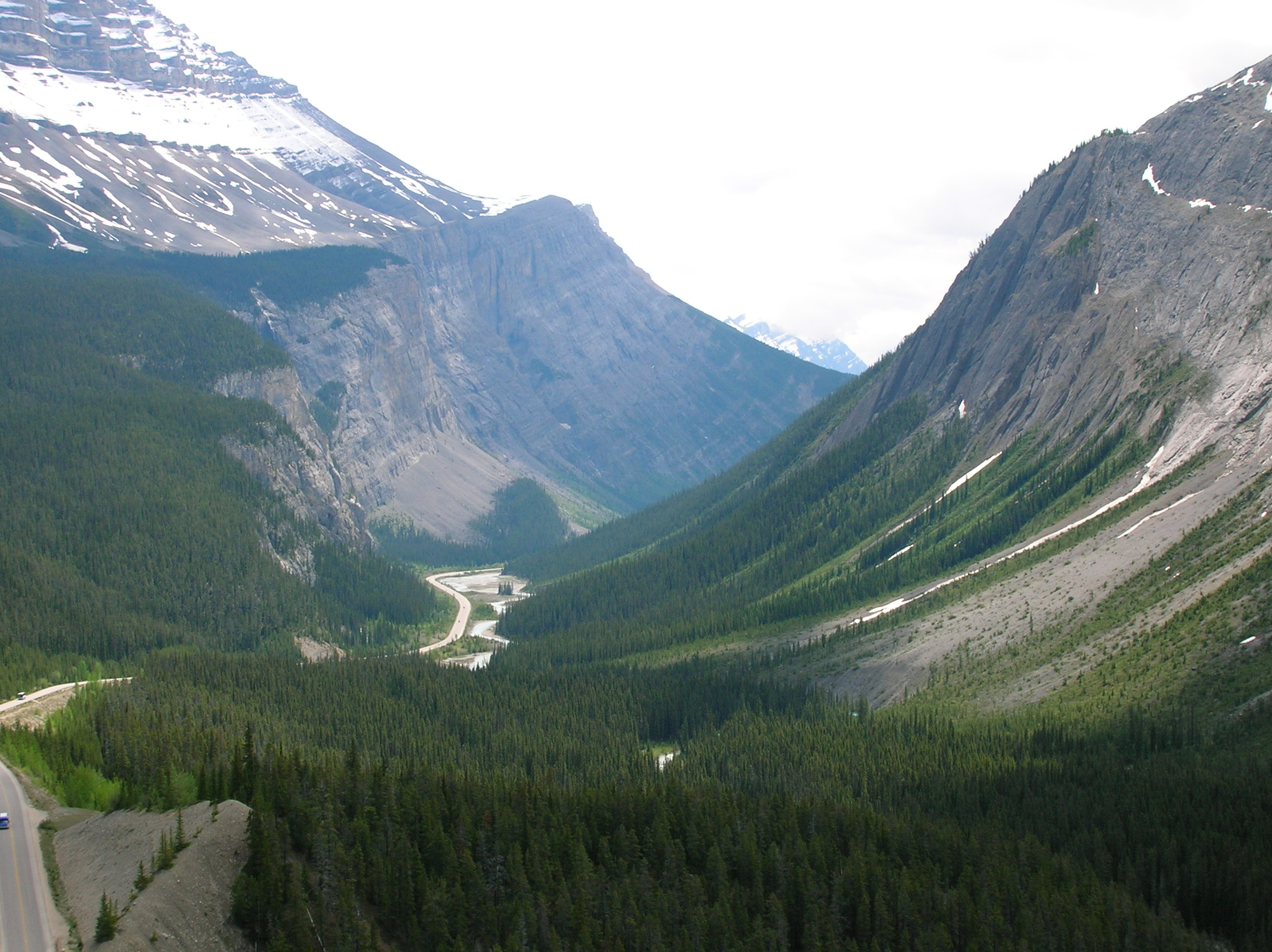
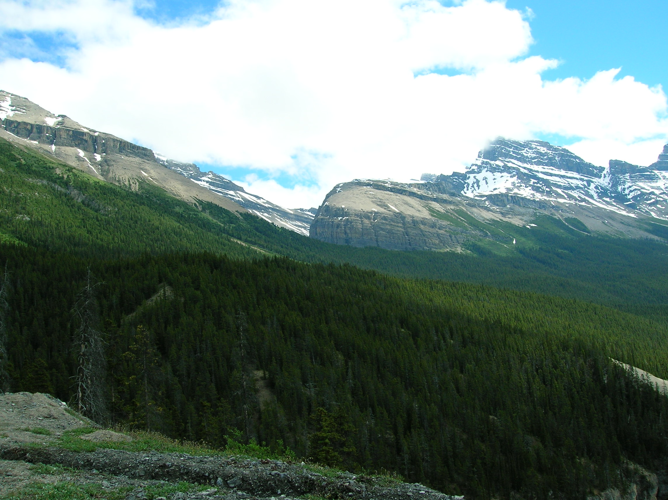
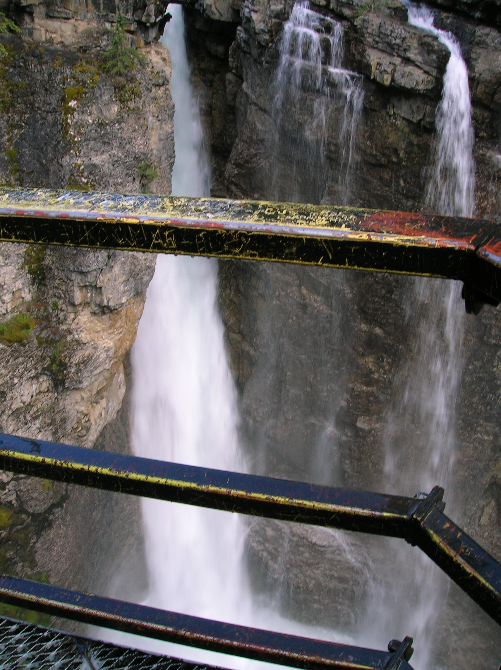
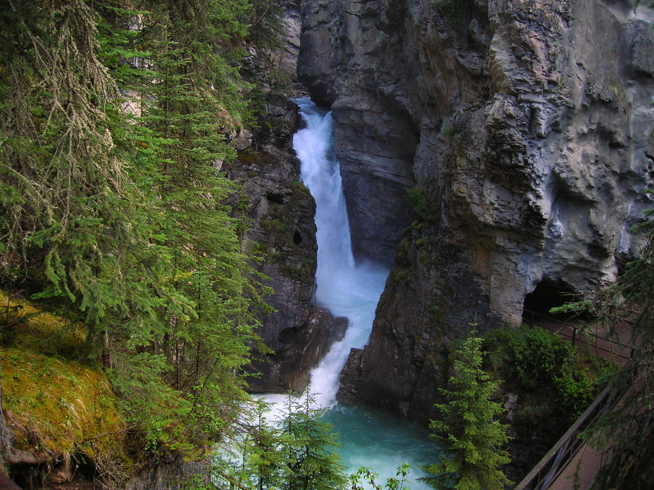
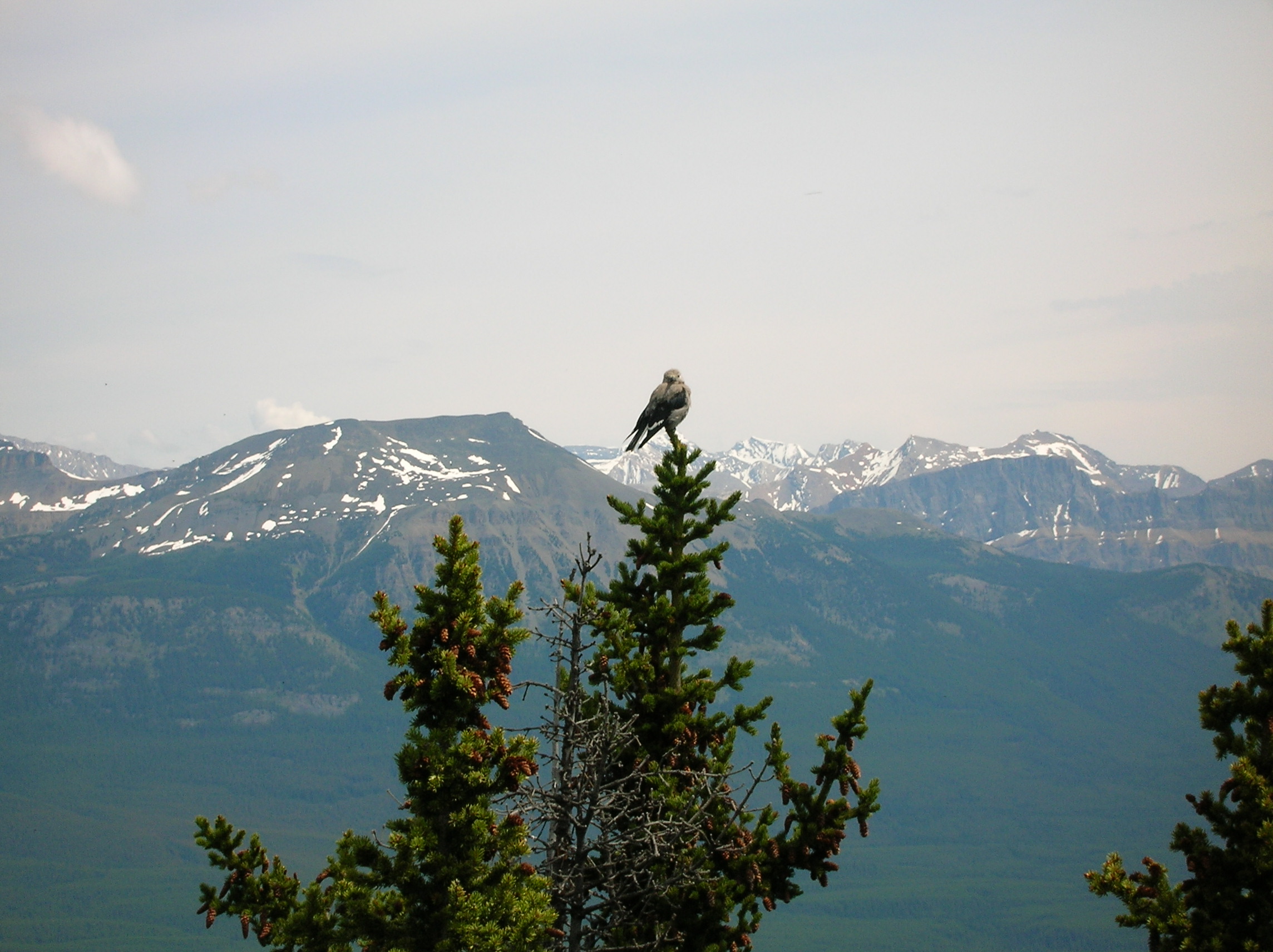
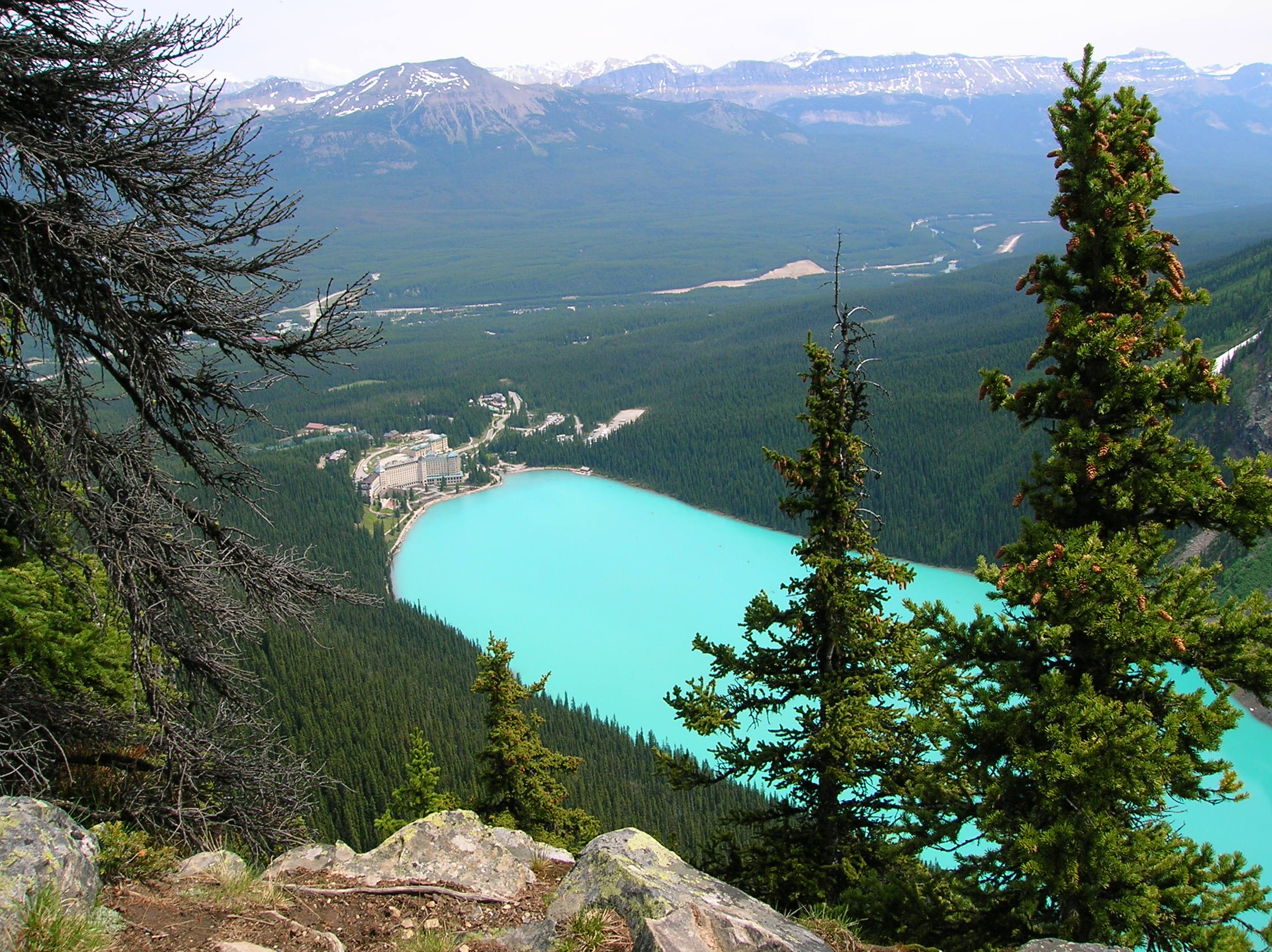
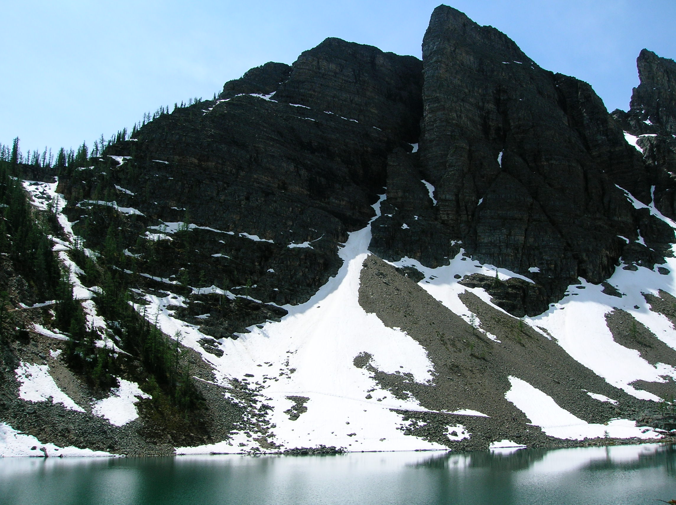
I meant business today. My lack of a good hike the previous day filled me with shame, given I only had one more day left here and there was a bunch of cool-sounding things to do. So, I got up very early. It had rained part of the night and the fly worked well. It was fortunately dry in the morning, but pretty cold. I packed up the car and started up on the first hike, an 11.6 km round-trip jaunt to the Lower Johnston Canyon Falls, Upper Johnston Canyon Falls, and the Ink Pots. I arrived in a giant parking lot for this trailhead and was the only car there at 7am. I was very glad to be getting the headstart before the fools woke up and I wouldn't realize till later how good it was I started early. I put my tent fly out on the hood of my car to dry off, and started. This was one of the most impressively built trails I'd ever been on because much of it consisted of this metal catwalk along this gorge and it allowed you to be right in the action the whole time, as well as given you close up views right out over the waterfalls. In this shot, you can see the path go under a rock for a nice close up for the rapids. It was really cold in there and moist. Some weird birds were in there as well. I didn't see one person my entire walk. After the falls, I came out into a beautiful meadow area for the Ink Pots portion of this hike. The Ink Pots are really some weird thing with gases that bubble up in these pools of water making some cool mud designs. Plus, there are some minerals making the pools various colors. It's cool. You might notice there's less pictures today. I was hard-core and wasn't in the mood to waste time. On my return back, I pass a couple of people and then at the beginning, a horde of fools, including a gigantic bus group of sad old European travelers. It was very bad because it was hard to pass them on the narrow catwalk, some people were feeding squirrels Now and Laters while taking their pictures, and there was some depressing people in wheelchairs that were left behind at the spot where the hills began. I couldn't believe how the parking lot had filled up. I was glad to have had my peaceful hike, but now realized that the next hike, in the most popular part of the park, the Lake Louise region, would be packed. It was crowded there, but actually wasn't too bad. There was a parking lot equal to the size of the one I was in that was not being used so it was still early. Once again, I would never in my life go to this park any time in the prime season. Even Yosemite is better in peak times because there's more tough hikes you can do to weed out the fools. Anyway, I had worked out this loop that would be pretty strenuous, but cool. I'd be going along Lake Louise a bit, then up past Mirror Lake (with Big Beehive in the background), then a side trip to Little Beehive (view from the top) where you can make out the outstanding color of that lake and the horrendous hotel in the village, coming back down the trail past Lake Agnes (note snow footprints). Circumventing this lake to the snow path you see in the previous picture, was the way up to Big Beehive, as seen earlier. This hike was a bit scary and not unlike the snow hiking depicted in my Rae Lakes Loop excursion in that it was a tad scary because you could have slid down into the freezing lake. Plus, it was steep switchbacks and I'd already been exhausting going up Little Beehive, which I failed to mention before was extremely tiring. I think the elevation was getting to me. I got to the top and chatted with some girls that were heading back, one of which said "Oh you fell in the snow too on the trail " which confused me since I hadn't and then I realized my ass was soaked with sweat. I figured I wouldn't disgust them with the real source of the moistness. This bird had my envy of getting a slightly better view than myself. Here I am looking like a scum in a rare self-photo off to the side at the top. The view was absolutely spectacular. So many colors. There also were constant avalanches you could see and hear off in the distance which was great for looking at with my binoculars. I headed down the other side and returned along the shores of Lake Louise to the parking lot. About 12 km total distance, not very long, but with major elevation gain. I then drove for my third and final hike of the day to Moraine Lake (movie) around the Tower of Babel. It was ok, but not really worth rushing to do when I could have relaxed a bit after the big hike. After getting back to the car, I was really scummy and wanted to change but could never find a good spot. Plus, I was starving for some grease. So I drove the rest of the Ice Fields Parkway and there really was nothing to see any longer. In the first real town, there was a Wendy's I stopped at (which also had a Tim Horton's donuts inside, as all Wendy's in Canada do) and got a Double with Cheese and drove to some deserted motel parking lot to eat and change clothes. I then drove through the suburbs of Calgary to Fort Macleod, which I had picked to stay at because they had really cheap motels in this town in the AAA book and it was close to the border of Montana, where I'd be reentering the states the next day. It's amazing because it's absolute desolation till you get within 3 miles of Calgary. Not like the built up US in any respects. There were all sorts of banners out supporting the up-province Oilers who were in the Stanley Cup playoffs at the time. I got to the Motel around 9 and had a very much needed shower. There was an amazing thunder storm with lightning you only see in the plains. Incredible buckets of rain (to me) and the lights dimmed the lights a few times. Probably just normal there, but impressive for anyone not use to big storms they get in these areas. I'm sure I had a taste of liquor of some kind and prepared for the next day's activities.
View at the Ink Pots in Banff
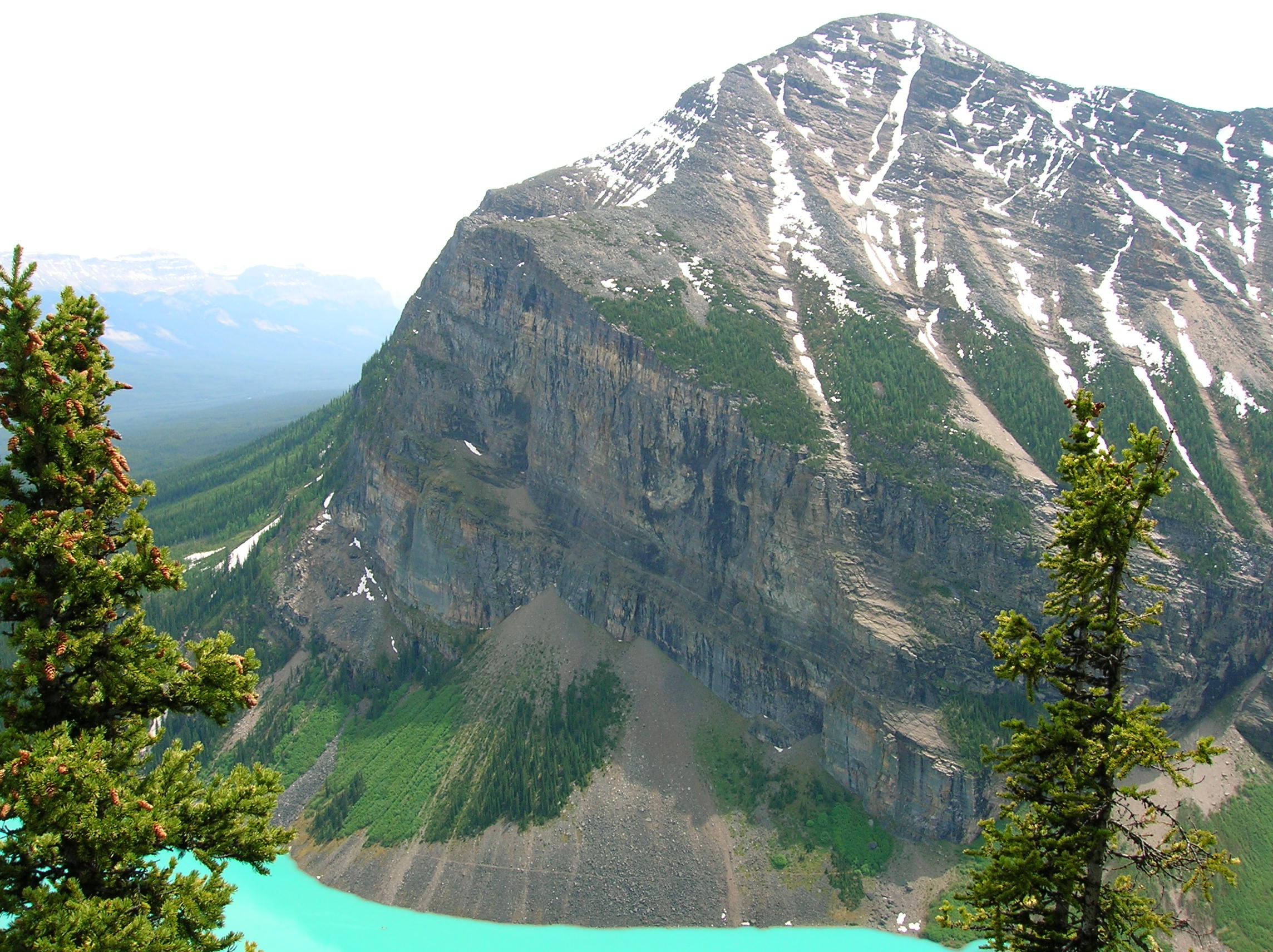
View from Big Beehive of Lake Louise
Big Beehive from below
Day 12: Drive to Glacier National Park
Had a nice night's sleep at the Sunset Motel which was around $40 US. I then had breakfast somewhere that was adequate, but was dissapointed they did not have bacon on the menu. You see, I had been especially interested to see if I ordered bacon in Canada, would I get Candian bacon? I never found out because they didn't have anything called just "bacon." I think they had "Candian Honey Ham" or something. Anyway, after eating, I made my way to the highway heading south into the US. I stopped about 20 minutes from the border in a small town to get some supplies and inquired as to the whereaboutof liquor. I was told there was none for about 30 miles, in Canada, but I could obtain some at the duty-free store at the border. I've always thought of the duty-free stores being scams, but I figured I'd give it a shot. In fact, this duty free store actually had a good selection of liquor and a great price on a liter of Finalandia vodka ($10, can't recall if US or CA). The whole process was great. Upon paying, I was confused why they wouldn't give me the bottle. You see, they had to bring it to me in the "netural zone", the no-man's land area between Canadian and US customs. This is to ensure that Candians aren't buying tax-free liquor, and then going back into their own country. So I paid, then was told to drive to a big tree. I did so and I could see back at the store this guy getting into a van and he drove thorugh customs, over to me, and gave me the bottle and I signed something. Then, I went onto US customs. They were suspicious of me due to all the crap in my car and the fact that I looked like a scum and inspected my trunk. They confiscated my deli roast beef I bought at the store and also were mad I didn't tell them about my tuna fish in the trunk (which I had brought from the US). They told me I could go back into Canada, make a sandwich, eat it, then come back into the US if I wanted. I said, I had just eaten breakfast and that wouldn't be necessary and they could have it. They seemed big on ensuring me that they were going to destroy the roast beef, like it would make me feel better that they weren't going to go in the back room and have a roast beef party. I continued into the US to Glacier National Park. Today, I had planned some minor car sightseeing and maybe a small hike. By this time, I was getting weary of pictures (among other things) and so I don't have too much from today, but here's a nice lake. Some mountains. Some mountains in fog. More fog. I was driving up this road to the sun or something that unfortunately was closed at the peak due to snow still blocking the pass. This would be unfortunate because it was going to force me to go a long way around the park to get to the next destination. Further up the road, we see snow and some nice melting action. Near this previous spot, there was a small walk to view a nice little gorge with rushing water. I then drove and checked out some other areas of the park that weren't that exciting, then back to the main area to set up camp. Surprisingly, there were a lot of people there, but I found a spot and paid for 2 nights. Then I went on a little hike somewhere and got this picture of a lake. The dark clouds would portend bad news for the next day. I set up camp, and don't recall what I did, other than the usual. During the night, it started raining around 2am. I was hoping it would stop because i had planned an awesome 15 mile loop hike the next day that I was really pumped for.
Low clouds on drive up Going to the Sun Road at Glacier Park
Lake at Glacier Park
Day 13: Abandon Ship! and LONG drive to Craters of the Moon National Monument
But it would not stop raining. It was absolutely pouring straight through to 9am, at which time I decided to abandon ship (and my $15 I stupidly paid in advance for the second night of camping) and head for the next destination. I really was dissapointed because I sort of had wasted a day as I really didn't get much done the previous one, in anticipation of a mega hike this day. It was not fun and it was cold. So, I basically moved up my itinerary one day. On the road, I found some cell service and called my friend Tony to see if Yosemite was opening up their 120 pass and they were and it was going to be perfect timing for me, so that ease my mind a bit. Anyway, I don't recall much about this drive other than it was really long and raining very hard for a lot of it and then there was all this construction delay. Looking back, I could see that this storm would have been soaking Glacier for several more hours, so it was good to go. I think some of the drive was very scenic, going down US-93 forever along a river when eventually the weather turned better. Here's a shot of some interesting terrain in Idaho just an hour or so before my destination. It was weird, like desert and moutains with snow combined. I stopped in a town because I thought the NHL playoffs were on but was wrong. I still had a Bud and talked with some nice guy that went to a lot of trouble finding the game for me that wasn't on. I continued on to the Craters of the Moon. It was still sunny around 7, but I just set up camp in gravel and lava rocks, had some Finlandia and a tuna sandwhich and checked out the scene a bit which I didn't capture since I knew I would the next day. Listen to audio commentary for details. Somewhere around the 50 minute mark.

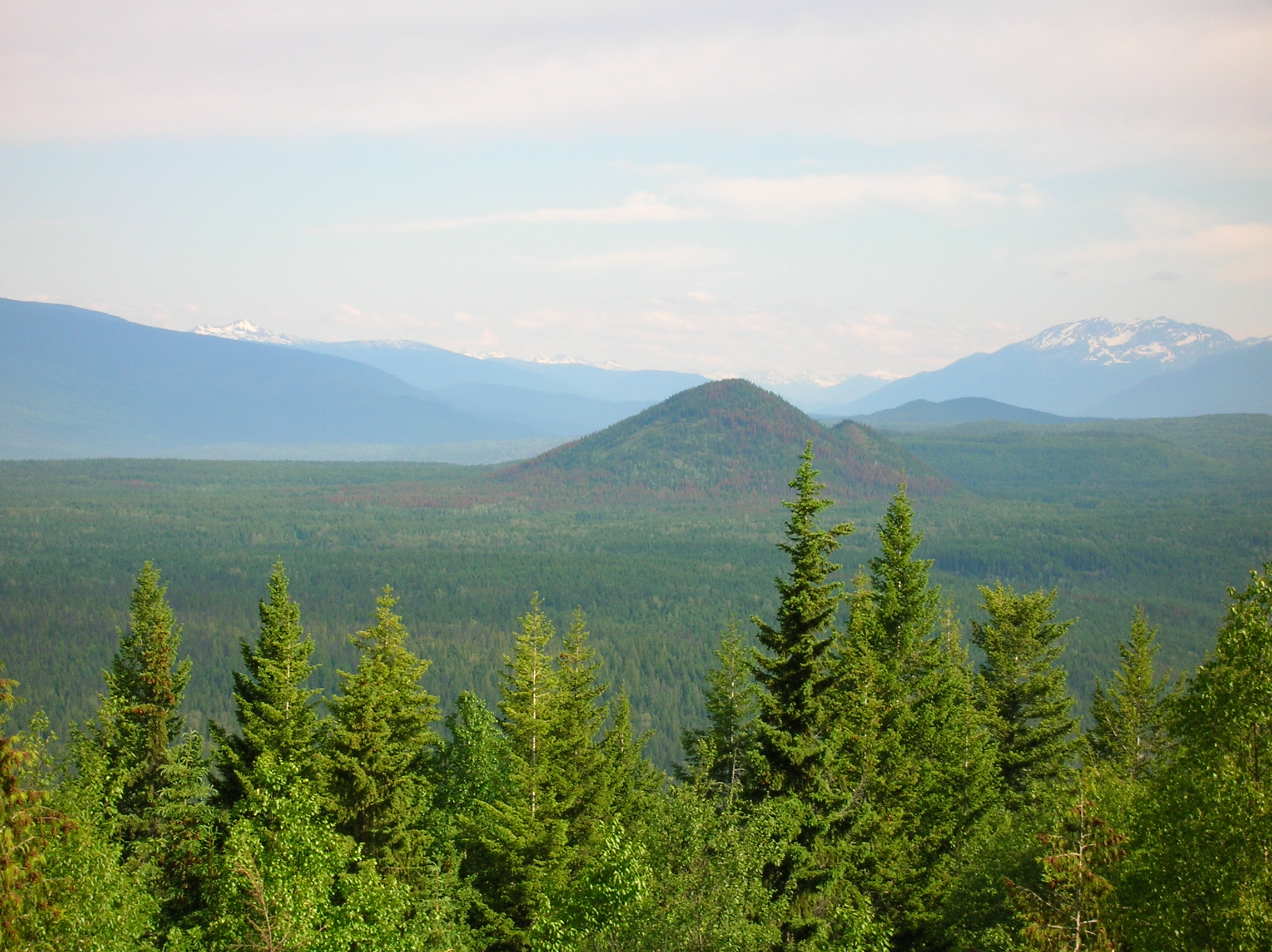
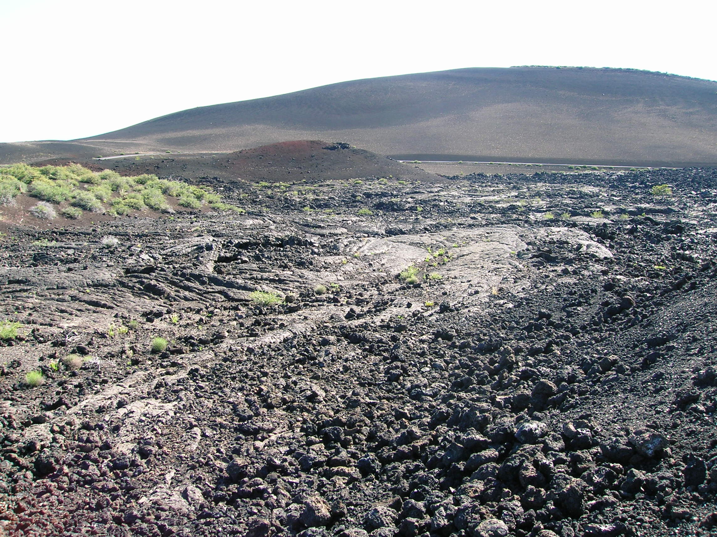
Idaho landscape nearing Craters of the Moon
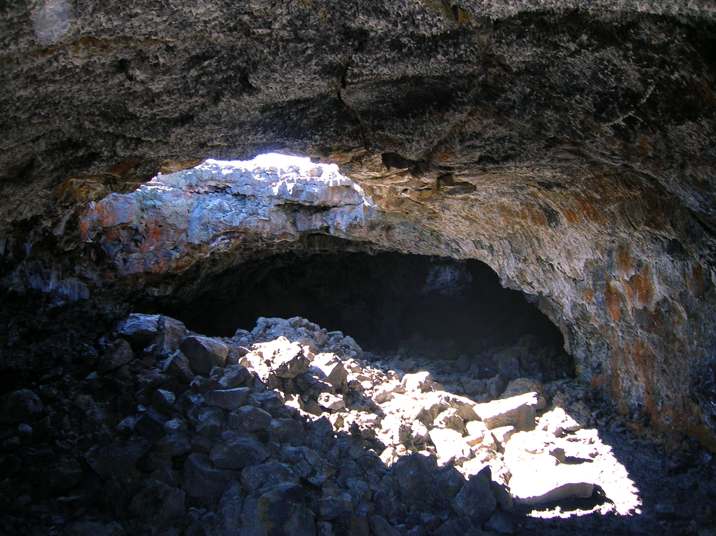
Day 14: Craters and then 11 hour drive to Yosemite
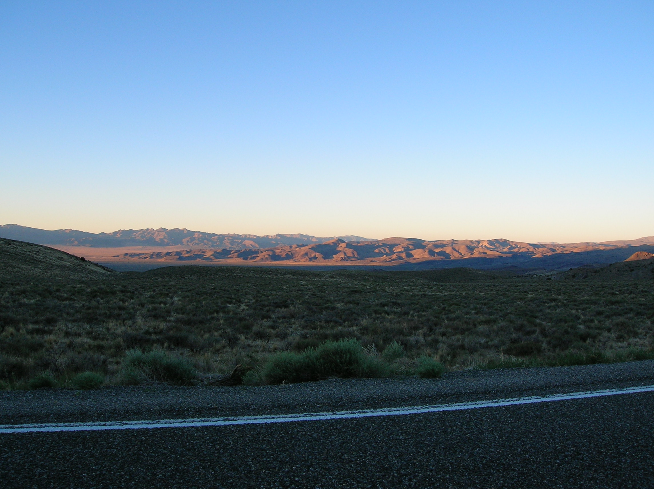
This was to be day #2 of the mega driving of the trip. When I planned this trip, I sort of took my time heading north and east and then at the end, realized I would need to do some massive driving to make it home in time, but that was fine, since there isn't much to see on the way back. Craters of the Moon is worth seeing, but only if you are in the area and don't have to go more than 2 hours out of your way (total). There was some cool rocks and holes like this one. The sun was blazing, but the air was cool in the morning hours. Did some little walks. Eh, not bad. There were also some caves to go in, though I only went in this one. The others required headlights, which I had left in my car not thinking, though I really didn't mind skipping the others. One cave was enough. Listen to audio for notes on the drive. I stopped at a Sonic in Idaho Falls and didn't understand how to order since I didn't know you were supposed to stay in your car. I wanted out of the car so I ate at the patio for carless people, still having to order through an intercom. I was short of cash and paid with credit card for my $6 meal which I asked for ID for. Shameful. Continued on forever past Jackpot, NV ($20 rooms) and onto 80 then down long period of road with nothing for 50 miles in any direction. Listen to Audio Commentary starting around 1:00 mark for notes on this day. It actually was a cool drive through amazing emptiness of Nevada and part of 50 starting in Austin, NV ("the lonliest road in the world", it billed itself as) which was cool. Some of the drive said it was scenic on the map and I question that, though it was interesting in its bleakness. The kind of place were if you broke down, you are dead. I kept looking for a good place to stop and make a sandwhich and maybe stay in a motel, but just never found one. Hawthorne, NV looked like a place there would be bombed first in World War III. Amunition plant with all sorts of suspicious looking things in the ground. I decided this town would not be worth staying in. Real seedy motels here too. $25 motels. I never did quite find a good spot and finally settled on the lookout point of Mono Lake by the start of the 120 pass. I slept in my car and it actually wasn't too bad. I was able to formulate some mechanism by which I was able to stretch out and sleep a bit. Had tuna fish in the car, read a bit, had some Finlandia. I was not about to pay $100 for a motel. And this way, I'd have an awesome view in the morning. There were a few other RVs doing the same as I was. No cars, though.
Craters of the Moon
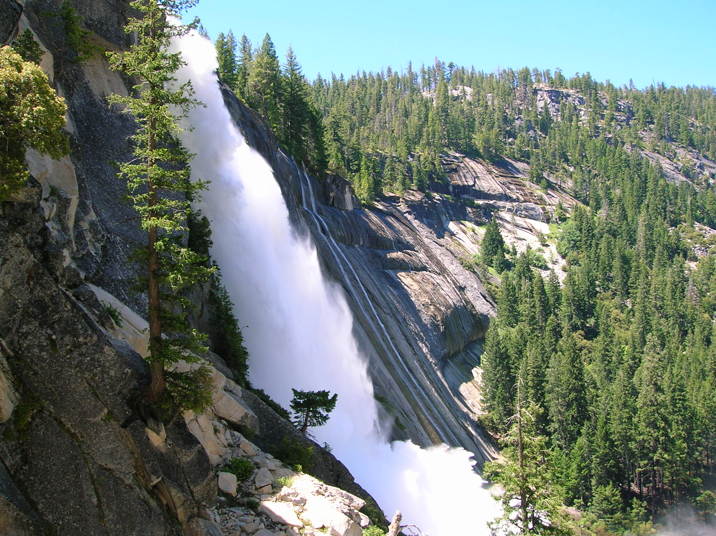
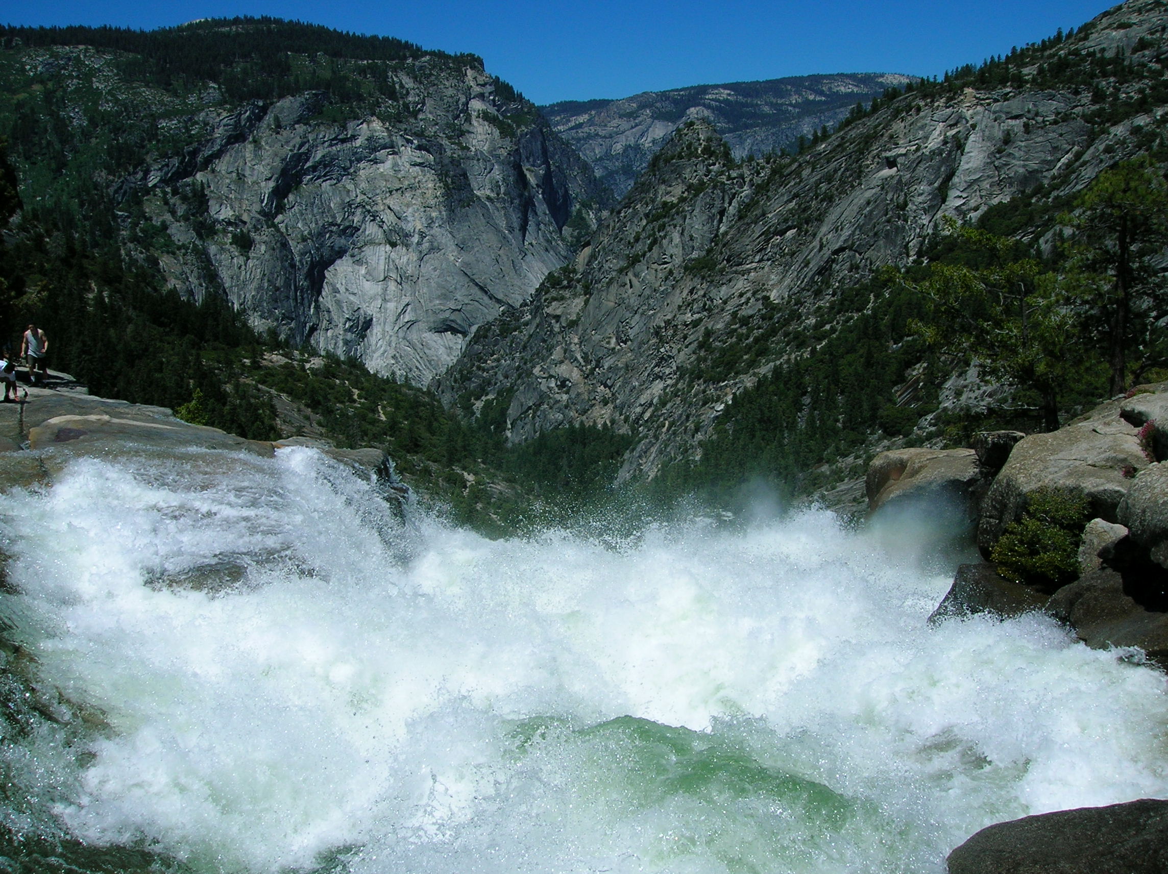
Day 15: Yosemite sightseeing, hike, end of trip
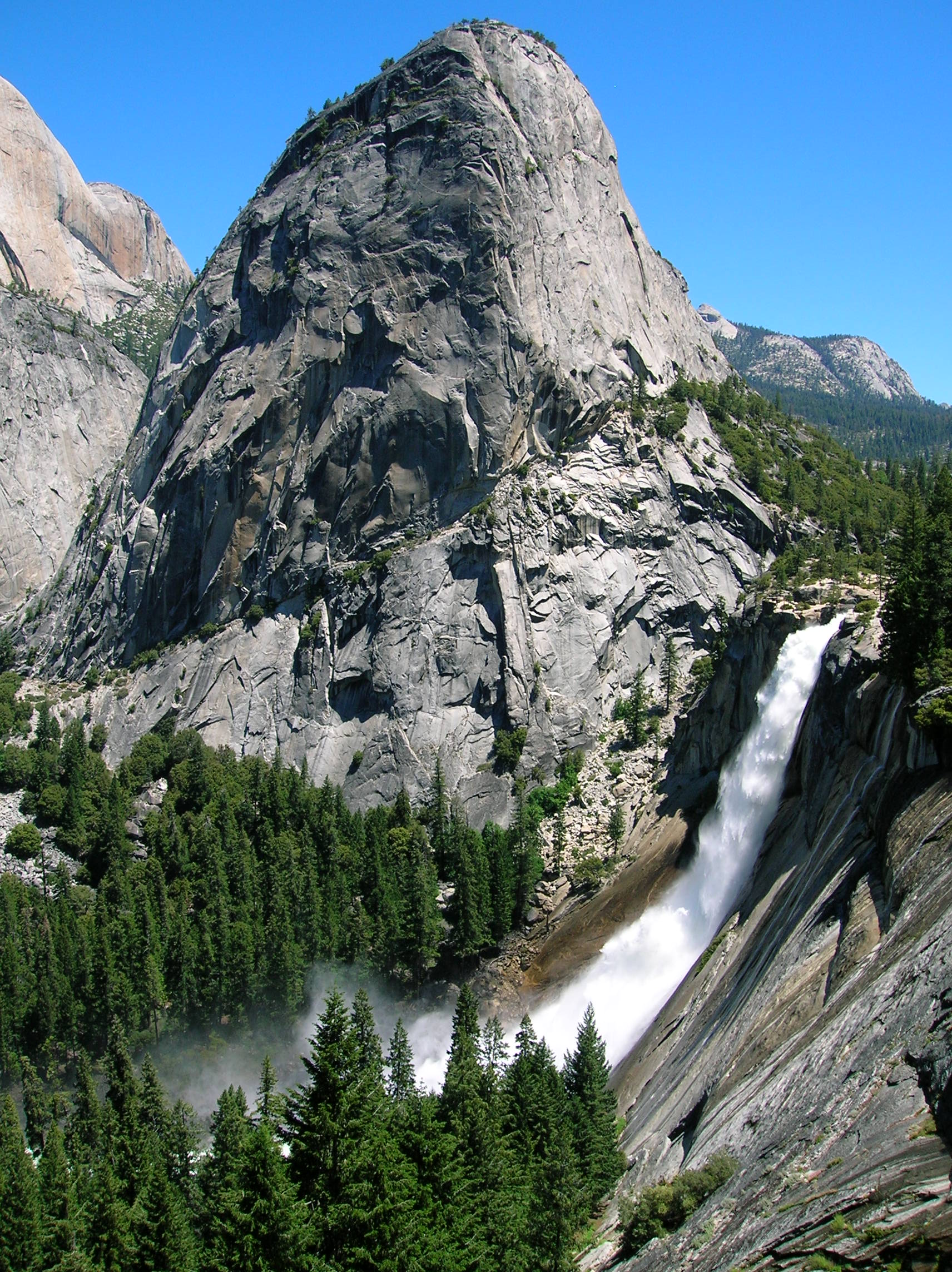
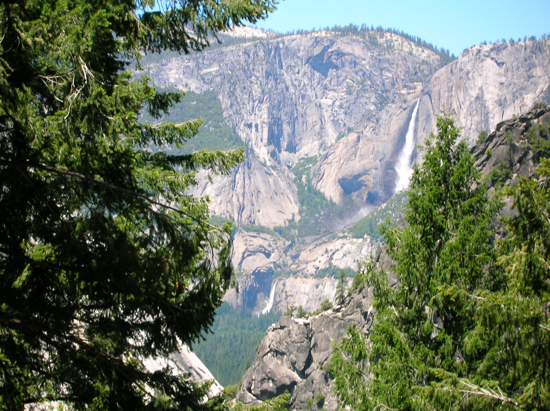
Sleeping in the car, I naturally woke up fairly early since it was not the most comfortable sleep. There was a nice sun out today, even at 6:00am as seen from the overlook, hitting the mountains surrounding the Yosemite Valley. I organized myself and brushed my teeth and had some sad breakfast bars and though it was still a bit before the opening of the pass, I figured I'd go check out if it was opened early. The electronic sign still said it was closed, but I was seeing cars coming down. I headed up and stopped along the way to take this picture of a nice partially frozen lake with a squirrel in the foreground where I talked with a photographer who confirmed the pass was open. I stopped off and did a little hike and sightseeing in Tuolume Meadows and then headed into the valley for some waterfall sightings and though I wasn't planning on a big hike, I had felt I needed one to make up for my rained out one in Glacier park. The popular Mist Trail going up to Vernal and Nevada Falls was crowded with fools, but I was impressed with them since at least they were doing a hike and it wasn't an easy one. Though short, it was pretty steep and several of the fools were going all the way up. I scoffed at many of them for wearing ponchos to protect them from the waterfall mist, which was very substantial due to the massive amount of snowmelt this year. Nice view of the rushing water from high up the trail. The volume of water coming down from Nevada Falls was simply amazing. Wider view of the falls from the trail. At the top, I was out of water and dying of thirst because it was hot out and the hike was a lot tougher than I remembered. I chanced drinking straight from the rushing water which tasted excellent. Here's the torrent just before it topples over the edge. Little movie (3MB) of the water falling shows nice volume and rainbow below. I decided to head down the alternate route to avoid the massive coming up the Mist Trail and got this most excellent shot of half dome paired with the falls which makes me wish I had a 30 inch monitor to give the photo justice. Another similar shot shows a few more rock peaks along with the falls. Though the lighting is bad, this shot shows across the valley the lower and upper Yosemite Falls, a hike which I did the previous year and was probably the hardest day hike I've ever done, but well worth it. I got back and made the drive out. Stopped off in Los Banos to have some Del Taco which was nice. It was 95 and I was glad I didn't live there. Nothing very eventful on the drive back and it ended around 7 in time to watch some hockey at my parents' house where I was staying over to go out for Father's Day tomorrow. Had I not been rained out, it would have been Sunday I was arriving home; at least this gave me one day to rest up.
Conclusion: It was a good trip in all. I have some regrets on how I could have spent my time better and some of the driving was a bit too much, even for me, but I got to see a lot of stuff I enjoyed and got away from work and the daily routine for 2 weeks which is the purpose of a vacation.
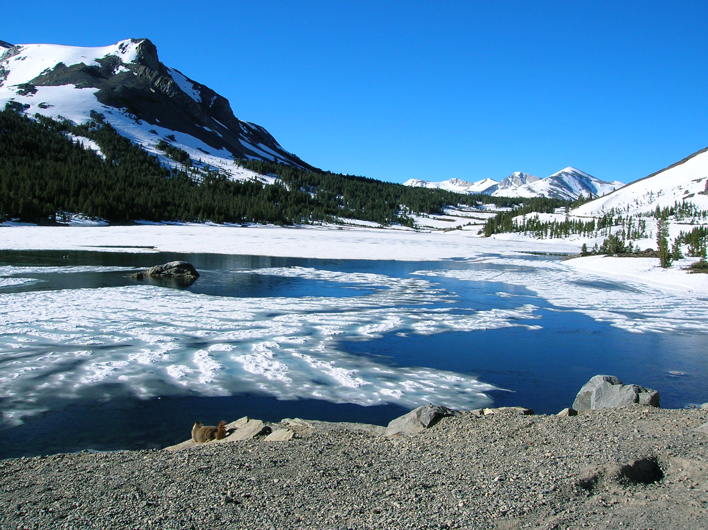
Lake along 120, the day Tioga Pass opened for the season
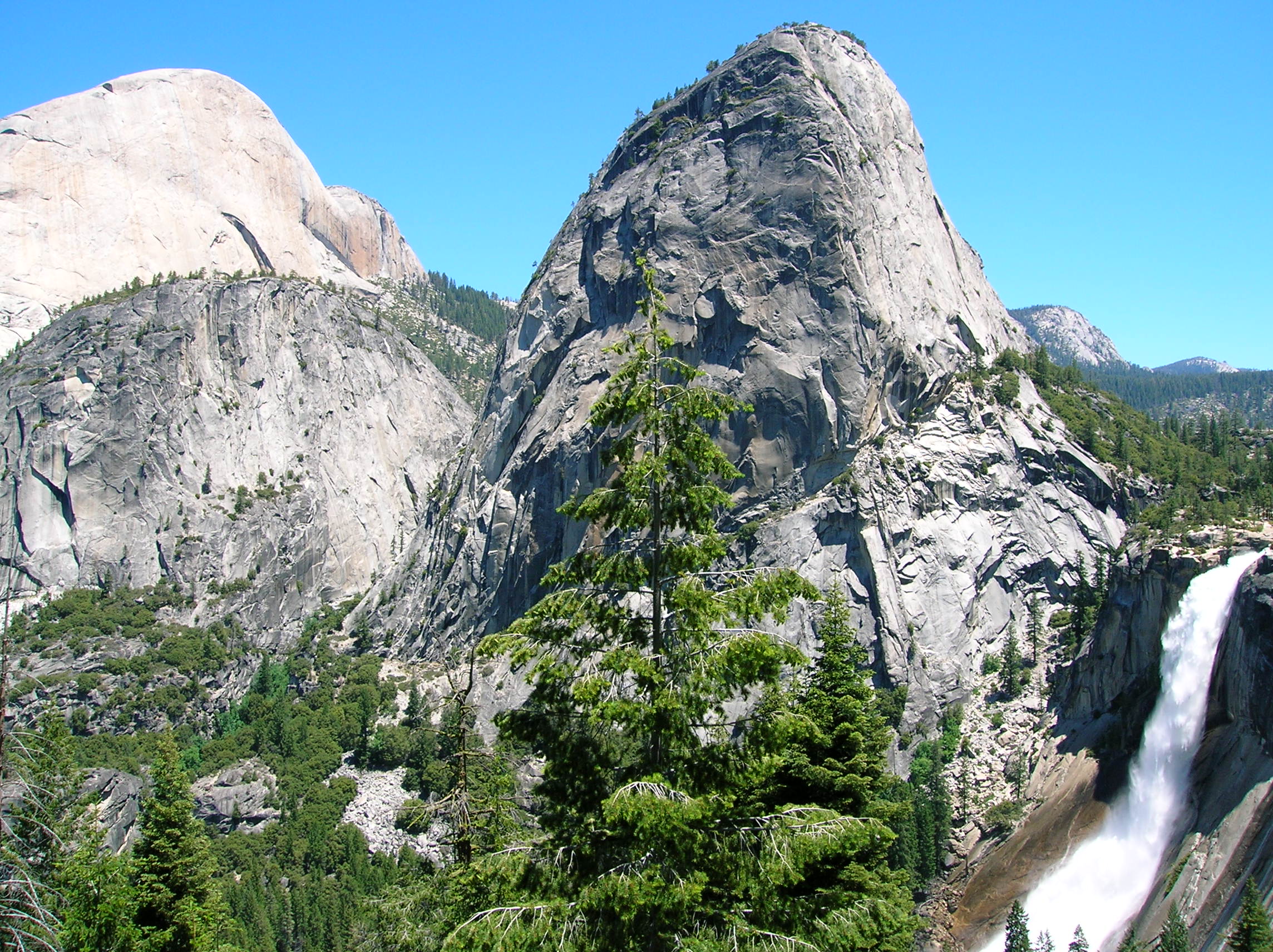
Nevada Falls and some dome action